Verden is a town in western Grady County, Oklahoma, United States. It abuts the Caddo County line, and is probably best known as the site of the 1865 Camp Napoleon Council. The population was 580 at the 2020 census, a decline from 530 in 2010.
| Name: | Verden town |
|---|---|
| LSAD Code: | 43 |
| LSAD Description: | town (suffix) |
| State: | Oklahoma |
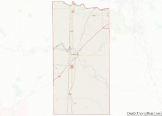
| County: | Grady County |
| Elevation: | 1,135 ft (346 m) |
| Total Area: | 0.39 sq mi (1.01 km²) |
| Land Area: | 0.39 sq mi (1.01 km²) |
| Water Area: | 0.00 sq mi (0.00 km²) |
| Total Population: | 508 |
| Population Density: | 1,305.91/sq mi (504.86/km²) |
| ZIP code: | 73092 |
| Area code: | 405 |
| FIPS code: | 4077000 |
| GNISfeature ID: | 1099241 |
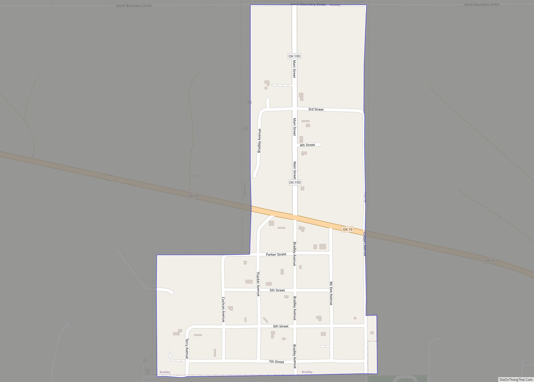
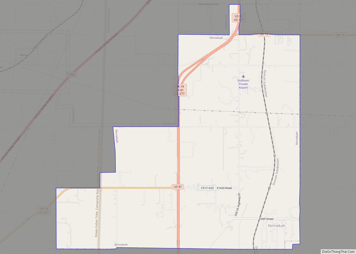
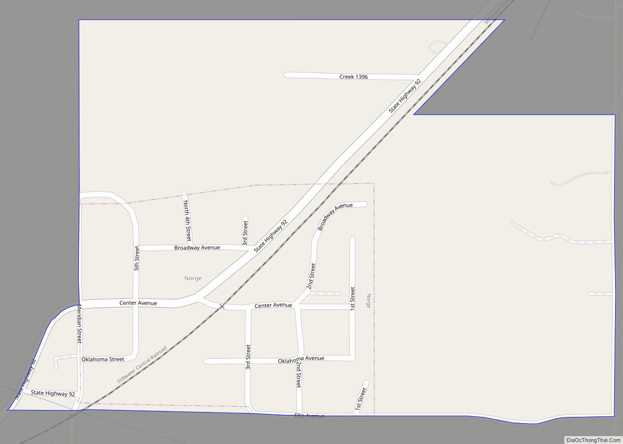
Online Interactive Map
Click on ![]() to view map in "full screen" mode.
to view map in "full screen" mode.
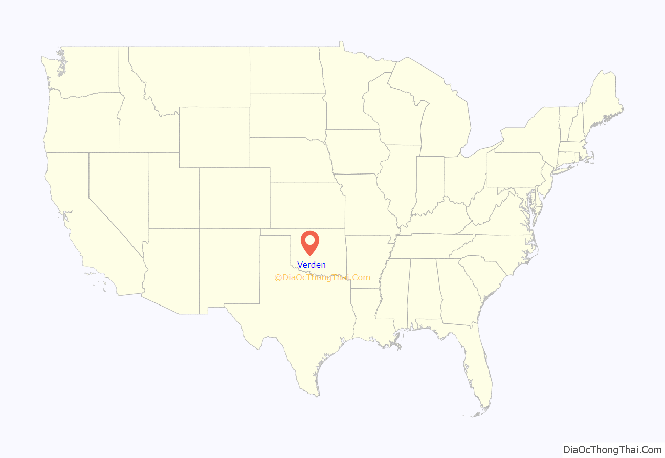
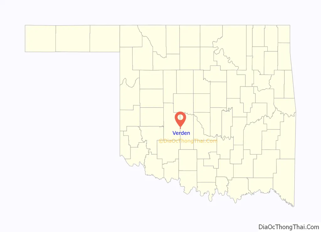
Verden location map. Where is Verden town?
History
A rural community called “Cottonwood Grove” began to emerge near the present site of Verden before the Civil War. It was on the eastern edge of the Kiowa and Comanche reservation that was established by the Medicine Lodge Treaty, that was made with the U.S. government in 1867. A stage stop was established at Cottonwood Grove for travelers en route from Boggy Depot to the Kiowa Agency, Fort Sill, and Fort Cobb. The land around the community, outside the reservation, belonged to the Half Moon Ranch, owned by W. G. “Caddo” Williams. His son-in-law, Charles Campbell, owner of the 7BC Ranch, and E. B. Johnson bought the Half Moon around 1900.
The Chicago, Rock Island and Pacific Railroad (a.k.a. CRI&P or Rock Island Railroad) built tracks through this area, between Chickasha and Mangum in 1900. James N. Jones and his family claimed the land around Cottonwood Grove when the tribes living near the Kiowa Agency were allowed to claim their land allotments. A post office was established at Cottonwood Grove, in 1899, but was discontinued in 1900. Another post office was established in 1902, which was named “Verden”, because there was another Cottonwood Grove post office elsewhere in the Oklahoma Territory. The town was platted in 1904, and A. A. Hiatt sold the lots for the CRI&P townsite division. In 1907, Verden became a town incorporated in Oklahoma Territory by the commissioners of Caddo County, and had a population of 312.
Agriculture has been the main economic activity in Verden since its founding, and the railroad made Verden an important shipping point for products of the farms and ranches. The town’s public school began in 1905 and absorbed a Caddo County district in 1917. By 1910, the population had climbed to 524 and the town had two banks, a newspaper, the Verden News, a telephone connection, an electric company, a grain elevator, a cotton yard, a cotton gin, a milling company, a lumberyard, and several retail outlets. The business district had survived a major fire in 1908. It also survived several floods that plagued the Washita River valley.
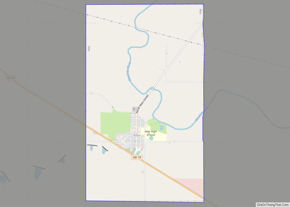
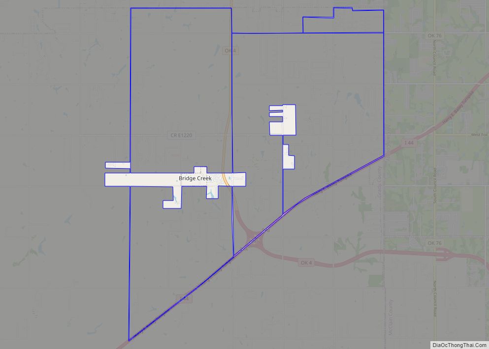
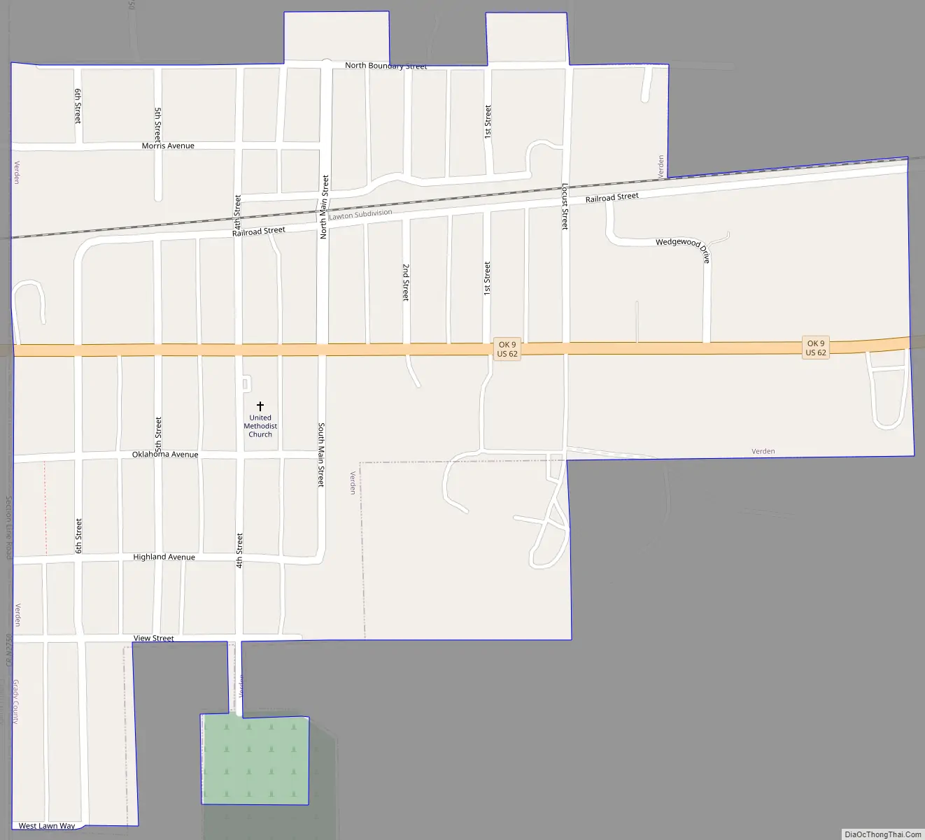
Verden Road Map
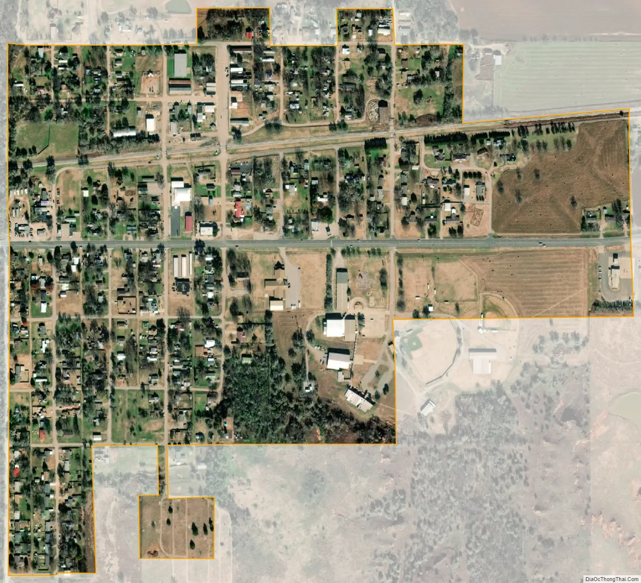
Verden city Satellite Map
Geography
Verden is located in western Grady County at 35°5′2″N 98°5′20″W / 35.08389°N 98.08889°W / 35.08389; -98.08889 (35.083762, -98.088790). It is on U.S. Route 62 and State Highway 9, 9 miles (14 km) west of Chickasha, the county seat, and 18 miles (29 km) east of Anadarko.
The town’s western border follows the Caddo County line, and the Washita River flows to the east just outside the northern border of the town.
According to the United States Census Bureau, the town has a total area of 0.33 square miles (0.85 km), all land.
See also
Map of Oklahoma State and its subdivision:- Adair
- Alfalfa
- Atoka
- Beaver
- Beckham
- Blaine
- Bryan
- Caddo
- Canadian
- Carter
- Cherokee
- Choctaw
- Cimarron
- Cleveland
- Coal
- Comanche
- Cotton
- Craig
- Creek
- Custer
- Delaware
- Dewey
- Ellis
- Garfield
- Garvin
- Grady
- Grant
- Greer
- Harmon
- Harper
- Haskell
- Hughes
- Jackson
- Jefferson
- Johnston
- Kay
- Kingfisher
- Kiowa
- Latimer
- Le Flore
- Lincoln
- Logan
- Love
- Major
- Marshall
- Mayes
- McClain
- McCurtain
- McIntosh
- Murray
- Muskogee
- Noble
- Nowata
- Okfuskee
- Oklahoma
- Okmulgee
- Osage
- Ottawa
- Pawnee
- Payne
- Pittsburg
- Pontotoc
- Pottawatomie
- Pushmataha
- Roger Mills
- Rogers
- Seminole
- Sequoyah
- Stephens
- Texas
- Tillman
- Tulsa
- Wagoner
- Washington
- Washita
- Woods
- Woodward
- Alabama
- Alaska
- Arizona
- Arkansas
- California
- Colorado
- Connecticut
- Delaware
- District of Columbia
- Florida
- Georgia
- Hawaii
- Idaho
- Illinois
- Indiana
- Iowa
- Kansas
- Kentucky
- Louisiana
- Maine
- Maryland
- Massachusetts
- Michigan
- Minnesota
- Mississippi
- Missouri
- Montana
- Nebraska
- Nevada
- New Hampshire
- New Jersey
- New Mexico
- New York
- North Carolina
- North Dakota
- Ohio
- Oklahoma
- Oregon
- Pennsylvania
- Rhode Island
- South Carolina
- South Dakota
- Tennessee
- Texas
- Utah
- Vermont
- Virginia
- Washington
- West Virginia
- Wisconsin
- Wyoming