Wann is a town in Nowata County, Oklahoma, United States. The population was 125 at the 2010 census, a decrease of 5.3 percent from the figure of 132 recorded in 2000. Wann is known for the “Six Flag Poles Over Wann America.
| Name: | Wann town |
|---|---|
| LSAD Code: | 43 |
| LSAD Description: | town (suffix) |
| State: | Oklahoma |
| County: | Nowata County |
| Elevation: | 860 ft (262 m) |
| Total Area: | 0.17 sq mi (0.44 km²) |
| Land Area: | 0.17 sq mi (0.44 km²) |
| Water Area: | 0.00 sq mi (0.00 km²) |
| Total Population: | 95 |
| Population Density: | 555.56/sq mi (214.05/km²) |
| ZIP code: | 74083 |
| Area code: | 539/918 |
| FIPS code: | 4078250 |
| GNISfeature ID: | 1099351 |
Online Interactive Map
Click on ![]() to view map in "full screen" mode.
to view map in "full screen" mode.
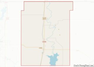
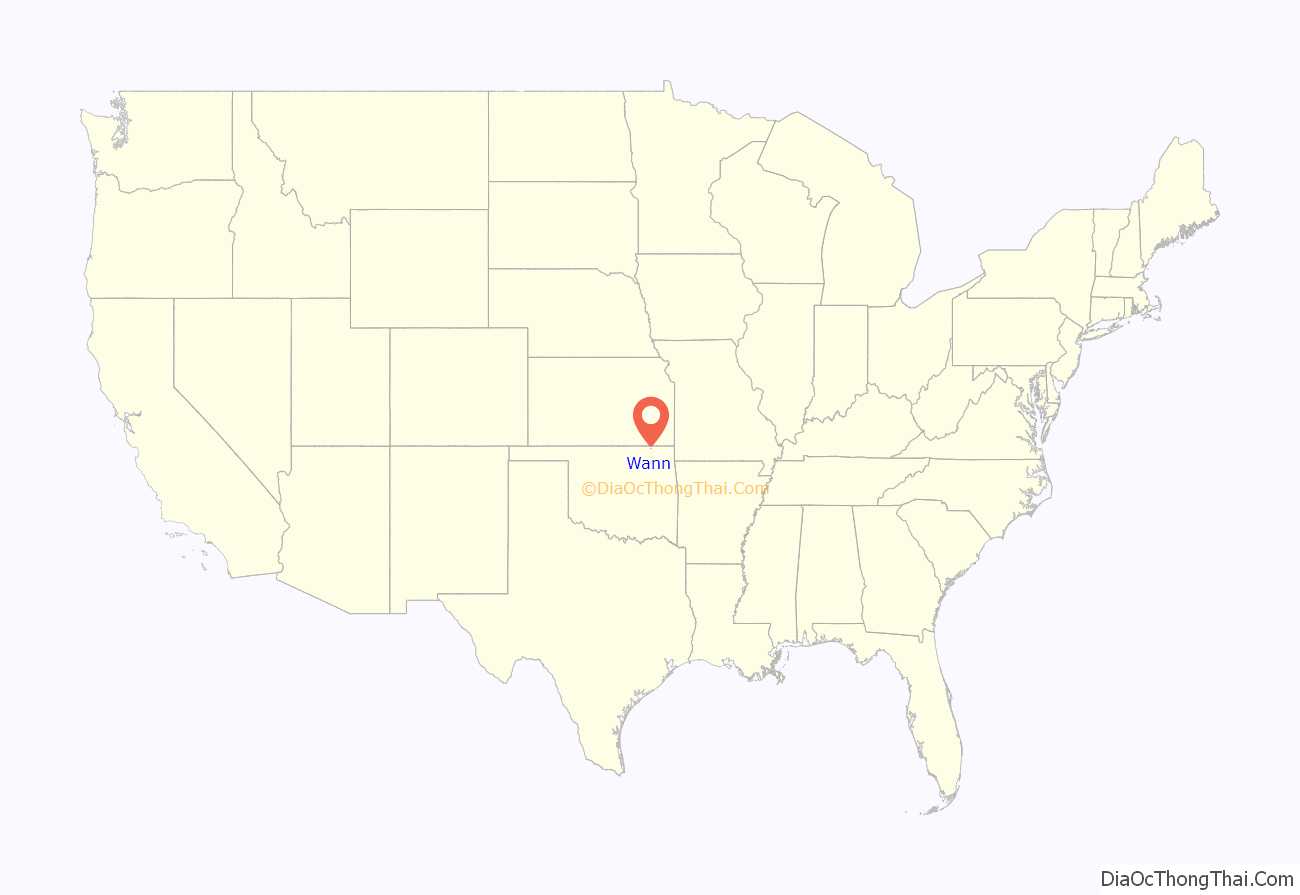
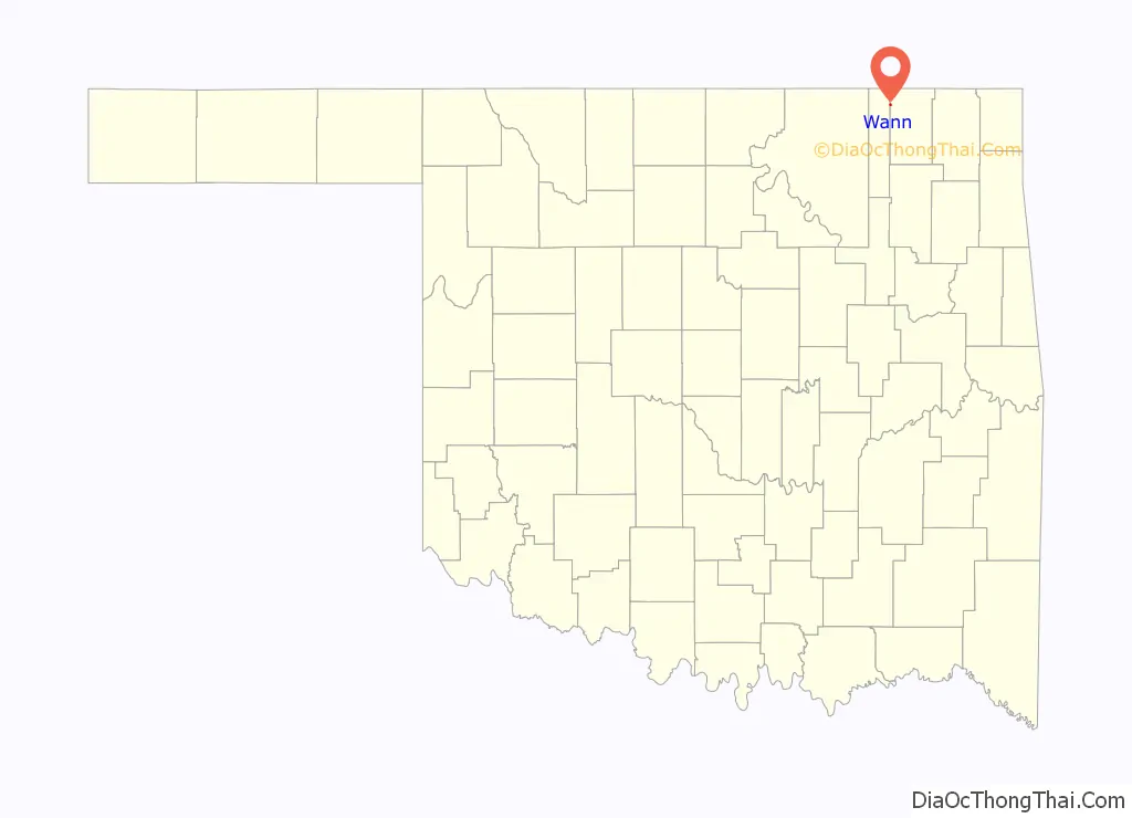
Wann location map. Where is Wann town?
History
The town of Wann has connections to both Cherokee and Eastern Delaware origins. The town and a nearby creek were originally named Coon, after a Delaware family, when the first post office opened July 26, 1895. The town was renamed Wann on October 13, 1899, to honor a local Cherokee, Robert F. Wann. The town was a station on the stage route between Coffeyville, Kansas and Bartlesville, Indian Territory. When the Katy Railroad built its track northwest of town in 1902, the townspeople relocated to be nearer the Wann railroad station.
Wann had 201 inhabitants at Oklahoma’s first census in 1907. Oil was discovered in the Wann Oil Pool about this time, leading the population to grow to 286 in 1910 and 404 in 1920. The boom collapsed and so did the population.
The railroad track was abandoned in the 1980s, following the demise of the Katy Railroad. Wann’s economy now depends on local farming and ranching.
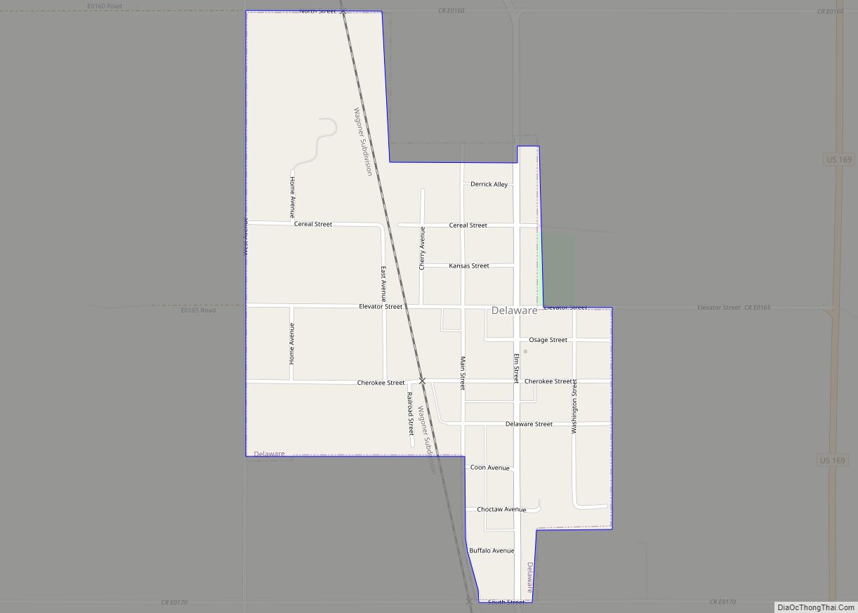
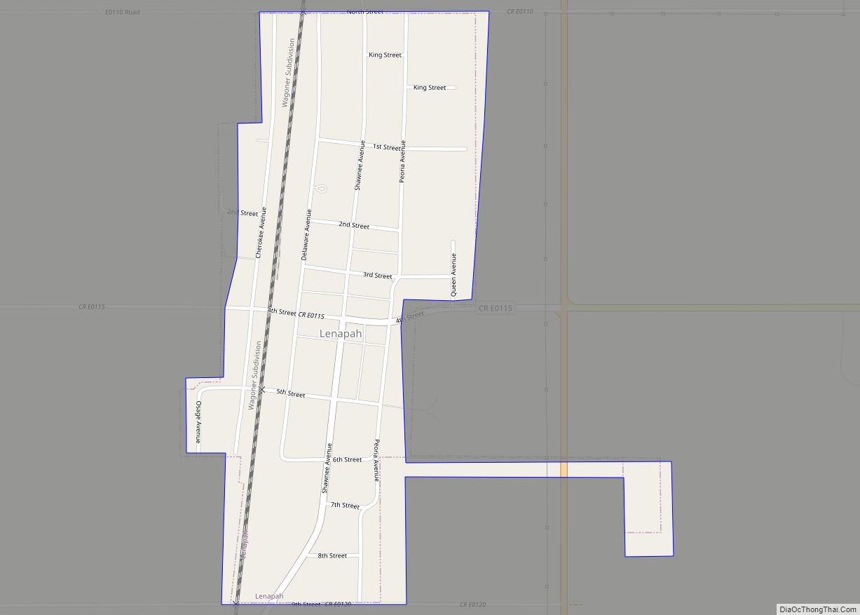
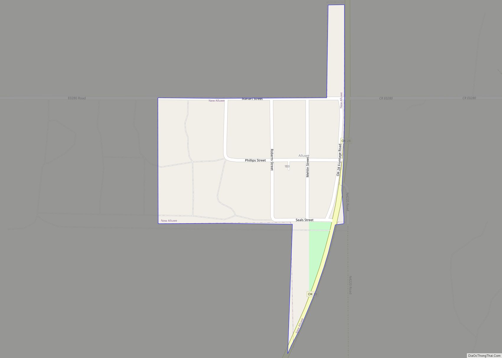
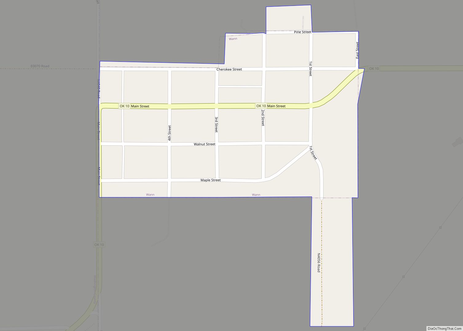
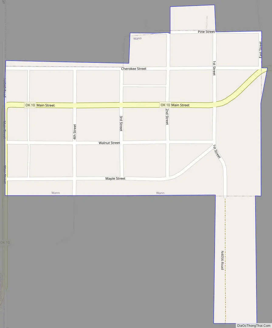
Wann Road Map
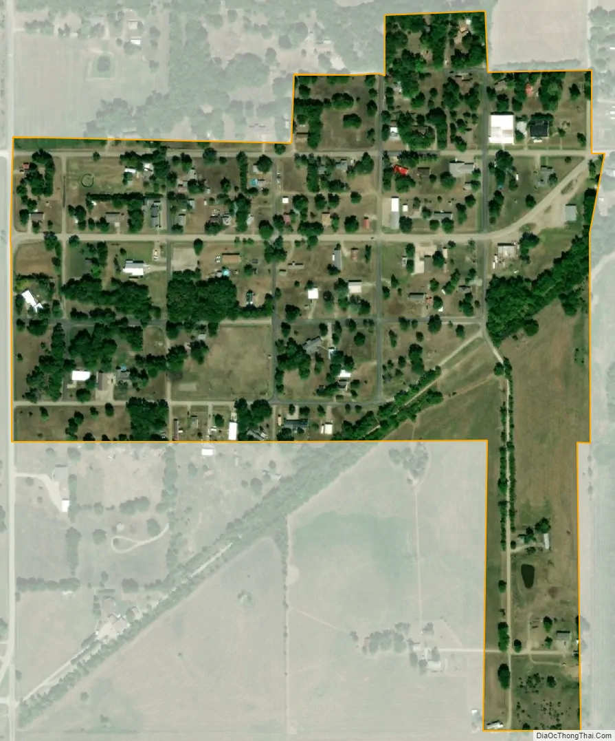
Wann city Satellite Map
Geography
Wann is located at 36°54′54″N 95°48′18″W / 36.91500°N 95.80500°W / 36.91500; -95.80500 (36.915015, -95.805012).
According to the United States Census Bureau, the town has a total area of 0.2 square miles (0.52 km), all land.
See also
Map of Oklahoma State and its subdivision:- Adair
- Alfalfa
- Atoka
- Beaver
- Beckham
- Blaine
- Bryan
- Caddo
- Canadian
- Carter
- Cherokee
- Choctaw
- Cimarron
- Cleveland
- Coal
- Comanche
- Cotton
- Craig
- Creek
- Custer
- Delaware
- Dewey
- Ellis
- Garfield
- Garvin
- Grady
- Grant
- Greer
- Harmon
- Harper
- Haskell
- Hughes
- Jackson
- Jefferson
- Johnston
- Kay
- Kingfisher
- Kiowa
- Latimer
- Le Flore
- Lincoln
- Logan
- Love
- Major
- Marshall
- Mayes
- McClain
- McCurtain
- McIntosh
- Murray
- Muskogee
- Noble
- Nowata
- Okfuskee
- Oklahoma
- Okmulgee
- Osage
- Ottawa
- Pawnee
- Payne
- Pittsburg
- Pontotoc
- Pottawatomie
- Pushmataha
- Roger Mills
- Rogers
- Seminole
- Sequoyah
- Stephens
- Texas
- Tillman
- Tulsa
- Wagoner
- Washington
- Washita
- Woods
- Woodward
- Alabama
- Alaska
- Arizona
- Arkansas
- California
- Colorado
- Connecticut
- Delaware
- District of Columbia
- Florida
- Georgia
- Hawaii
- Idaho
- Illinois
- Indiana
- Iowa
- Kansas
- Kentucky
- Louisiana
- Maine
- Maryland
- Massachusetts
- Michigan
- Minnesota
- Mississippi
- Missouri
- Montana
- Nebraska
- Nevada
- New Hampshire
- New Jersey
- New Mexico
- New York
- North Carolina
- North Dakota
- Ohio
- Oklahoma
- Oregon
- Pennsylvania
- Rhode Island
- South Carolina
- South Dakota
- Tennessee
- Texas
- Utah
- Vermont
- Virginia
- Washington
- West Virginia
- Wisconsin
- Wyoming