Wilson is a town in Carter County, Oklahoma, United States. The population was 1,724 at the 2010 census. It is part of the Ardmore, Oklahoma Micropolitan Statistical Area. It is home to one of the oldest Assemblies of God churches in Oklahoma, the Wilson Assembly of God Church.
| Name: | Wilson city |
|---|---|
| LSAD Code: | 25 |
| LSAD Description: | city (suffix) |
| State: | Oklahoma |
| County: | Carter County |
| Elevation: | 935 ft (285 m) |
| Total Area: | 5.66 sq mi (14.65 km²) |
| Land Area: | 5.64 sq mi (14.62 km²) |
| Water Area: | 0.01 sq mi (0.03 km²) |
| Total Population: | 1,399 |
| Population Density: | 247.87/sq mi (95.71/km²) |
| ZIP code: | 73463 |
| Area code: | 580 |
| FIPS code: | 4081500 |
| GNISfeature ID: | 1099874 |
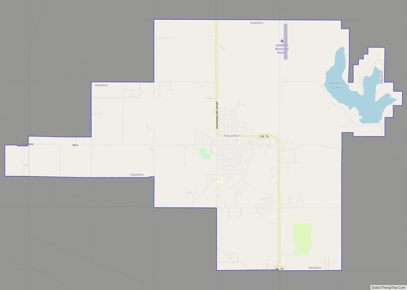
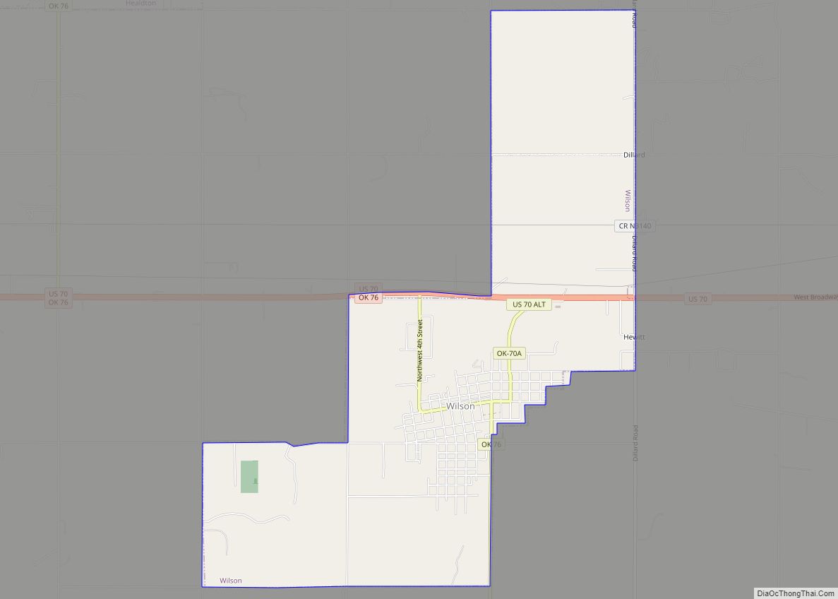
Online Interactive Map
Click on ![]() to view map in "full screen" mode.
to view map in "full screen" mode.
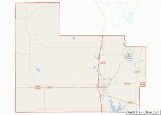
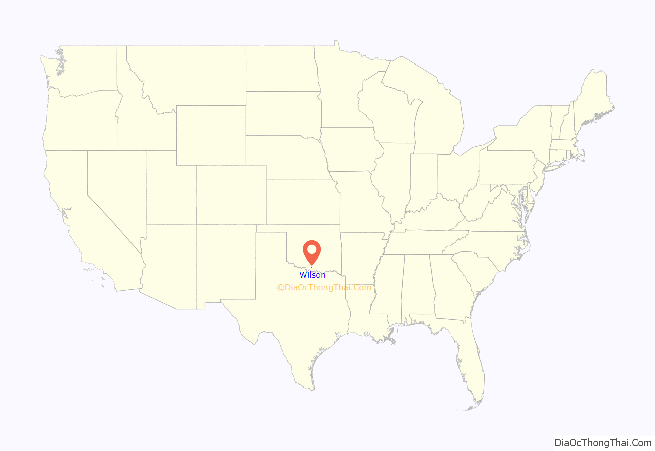
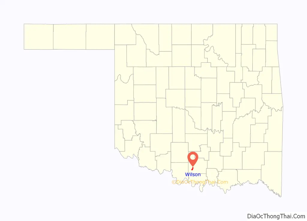
Wilson location map. Where is Wilson city?
History
John Ringling (of Ringling Brothers fame) in 1913 built his Oklahoma, New Mexico and Pacific Railway west from Ardmore to the spot that would become Wilson. Ringling himself chose the name– originally “New Wilson”— as a tribute to Charles Wilson, manager of the Ringling Brothers Circus. A post office was established on January 17, 1914; the town voted to incorporate the same year; and, the name changed to Wilson in 1918.
The murder of Jared Lakey in 2019 achieved national attention.
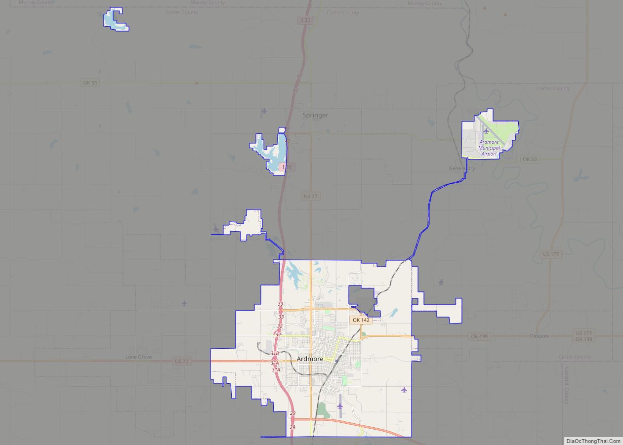
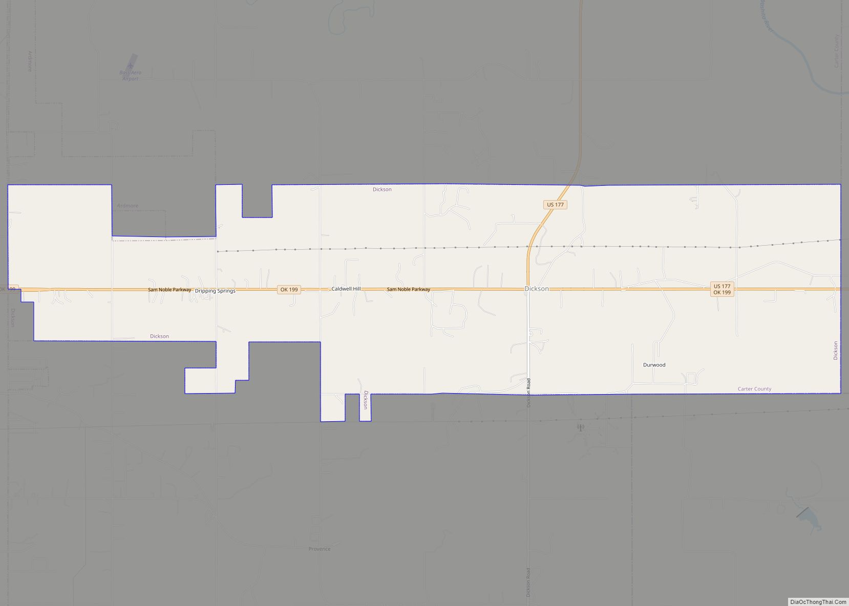
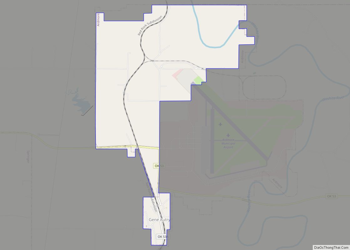
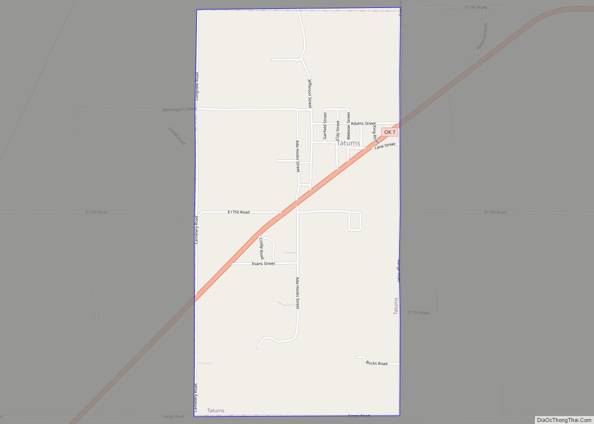
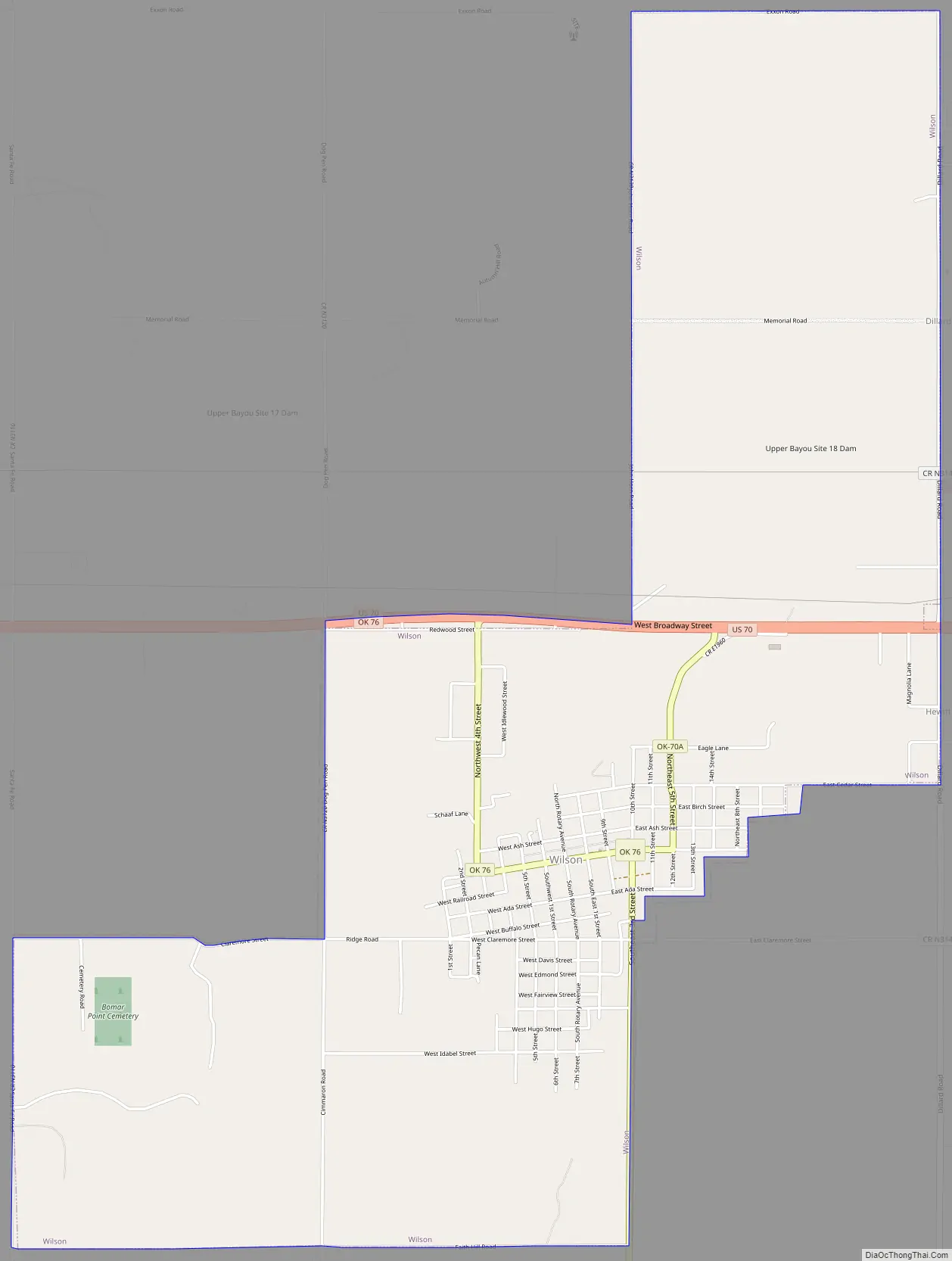
Wilson Road Map
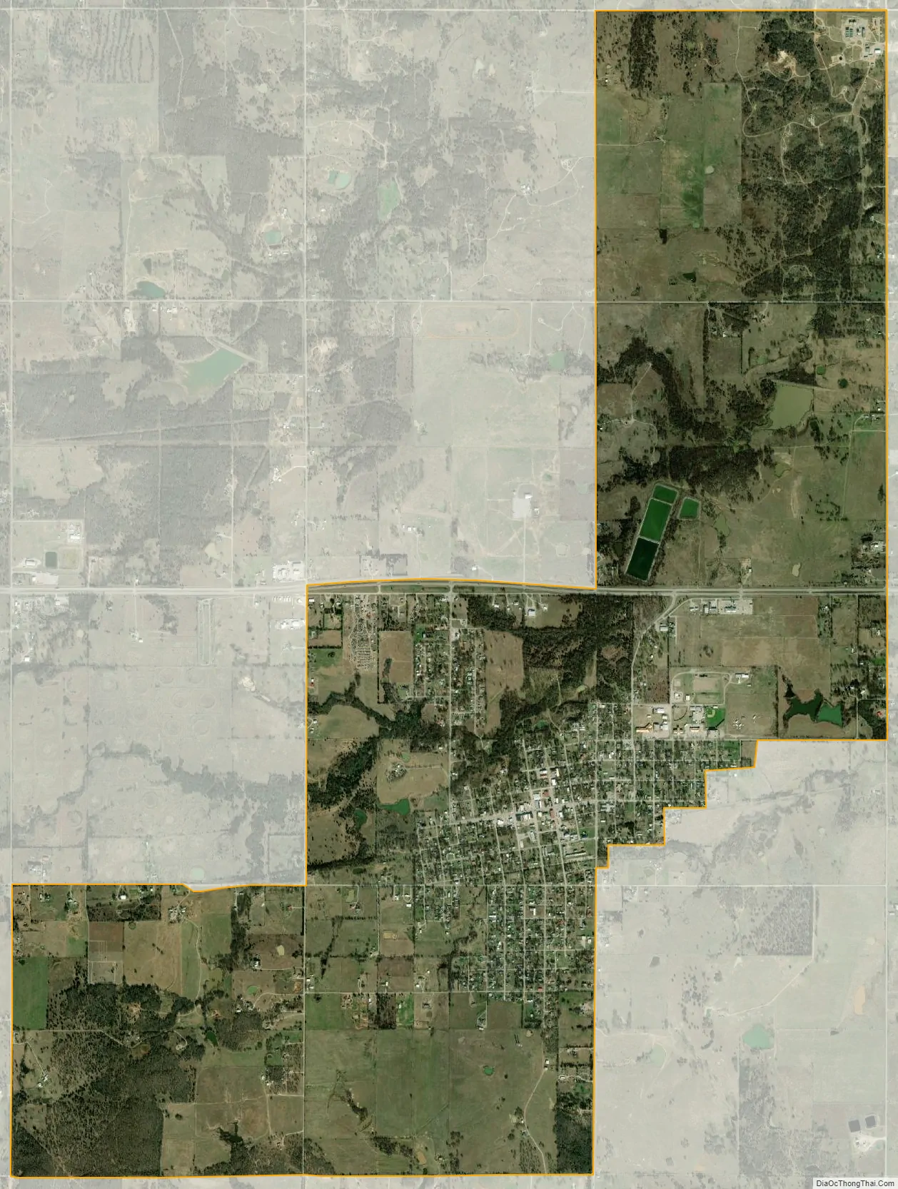
Wilson city Satellite Map
Geography
Wilson is located in southwestern Carter County at 34°9′41″N 97°25′30″W / 34.16139°N 97.42500°W / 34.16139; -97.42500 (34.161492, -97.425078). U.S. Highway 70 passes through the city north of the populated center; it leads east 16 miles (26 km) to Ardmore, the Carter County seat, and west 35 miles (56 km) to Waurika.
According to the United States Census Bureau, Wilson has a total area of 5.7 square miles (14.7 km), of which 0.01 square miles (0.03 km), or 0.23%, is water.
See also
Map of Oklahoma State and its subdivision:- Adair
- Alfalfa
- Atoka
- Beaver
- Beckham
- Blaine
- Bryan
- Caddo
- Canadian
- Carter
- Cherokee
- Choctaw
- Cimarron
- Cleveland
- Coal
- Comanche
- Cotton
- Craig
- Creek
- Custer
- Delaware
- Dewey
- Ellis
- Garfield
- Garvin
- Grady
- Grant
- Greer
- Harmon
- Harper
- Haskell
- Hughes
- Jackson
- Jefferson
- Johnston
- Kay
- Kingfisher
- Kiowa
- Latimer
- Le Flore
- Lincoln
- Logan
- Love
- Major
- Marshall
- Mayes
- McClain
- McCurtain
- McIntosh
- Murray
- Muskogee
- Noble
- Nowata
- Okfuskee
- Oklahoma
- Okmulgee
- Osage
- Ottawa
- Pawnee
- Payne
- Pittsburg
- Pontotoc
- Pottawatomie
- Pushmataha
- Roger Mills
- Rogers
- Seminole
- Sequoyah
- Stephens
- Texas
- Tillman
- Tulsa
- Wagoner
- Washington
- Washita
- Woods
- Woodward
- Alabama
- Alaska
- Arizona
- Arkansas
- California
- Colorado
- Connecticut
- Delaware
- District of Columbia
- Florida
- Georgia
- Hawaii
- Idaho
- Illinois
- Indiana
- Iowa
- Kansas
- Kentucky
- Louisiana
- Maine
- Maryland
- Massachusetts
- Michigan
- Minnesota
- Mississippi
- Missouri
- Montana
- Nebraska
- Nevada
- New Hampshire
- New Jersey
- New Mexico
- New York
- North Carolina
- North Dakota
- Ohio
- Oklahoma
- Oregon
- Pennsylvania
- Rhode Island
- South Carolina
- South Dakota
- Tennessee
- Texas
- Utah
- Vermont
- Virginia
- Washington
- West Virginia
- Wisconsin
- Wyoming