Benjamin is a census-designated place (CDP) in Utah County, Utah, United States. It is part of the Provo–Orem Metropolitan Statistical Area. The population was 1,145 at the 2010 census.
| Name: | Benjamin CDP |
|---|---|
| LSAD Code: | 57 |
| LSAD Description: | CDP (suffix) |
| State: | Utah |
| County: | Utah County |
| Founded: | 1860 |
| Elevation: | 4,534 ft (1,382 m) |
| Total Area: | 12.3 sq mi (32.0 km²) |
| Land Area: | 12.3 sq mi (32.0 km²) |
| Water Area: | 0.0 sq mi (0.0 km²) |
| Total Population: | 1,145 |
| Population Density: | 93/sq mi (36/km²) |
| ZIP code: | 84660 |
| Area code: | 801 |
| FIPS code: | 4904720 |
| GNISfeature ID: | 1438593 |
Online Interactive Map
Click on ![]() to view map in "full screen" mode.
to view map in "full screen" mode.
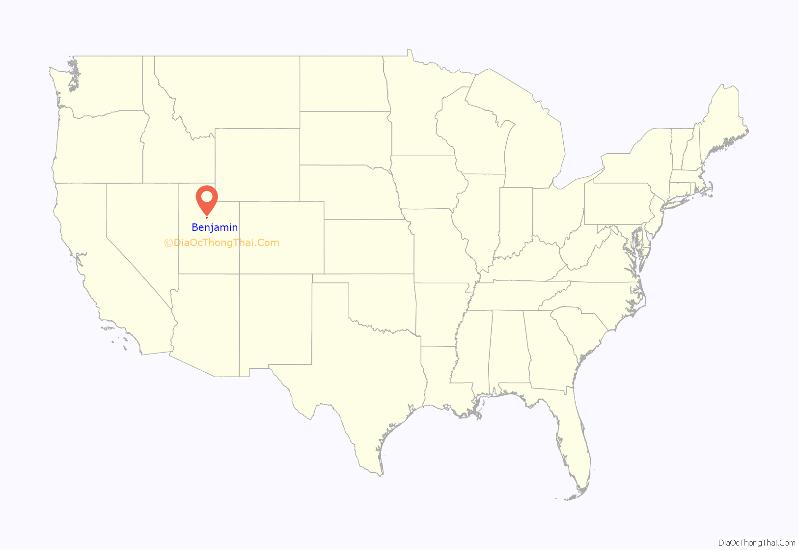
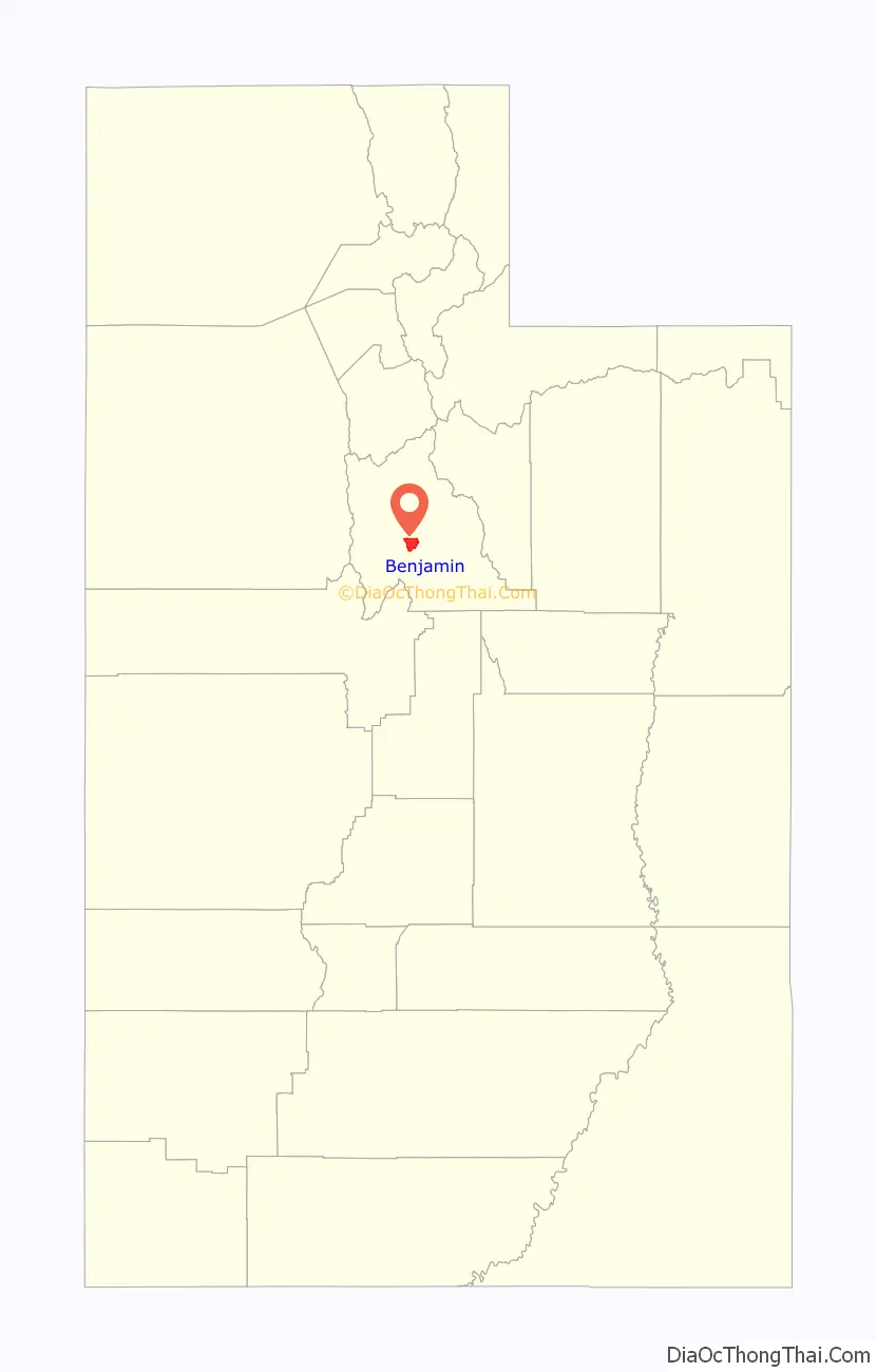
Benjamin location map. Where is Benjamin CDP?
History
The first settlement at Benjamin was made circa 1860. A post office called Benjamin was established in 1892, and remained in operation until 1902. The community has the name of Benjamin F. Stewart, a first settler.
Some residents made a request in February 2009 to make Benjamin an incorporated town, in an effort to prevent annexation by the neighboring cities of Salem, Spanish Fork, and Payson.
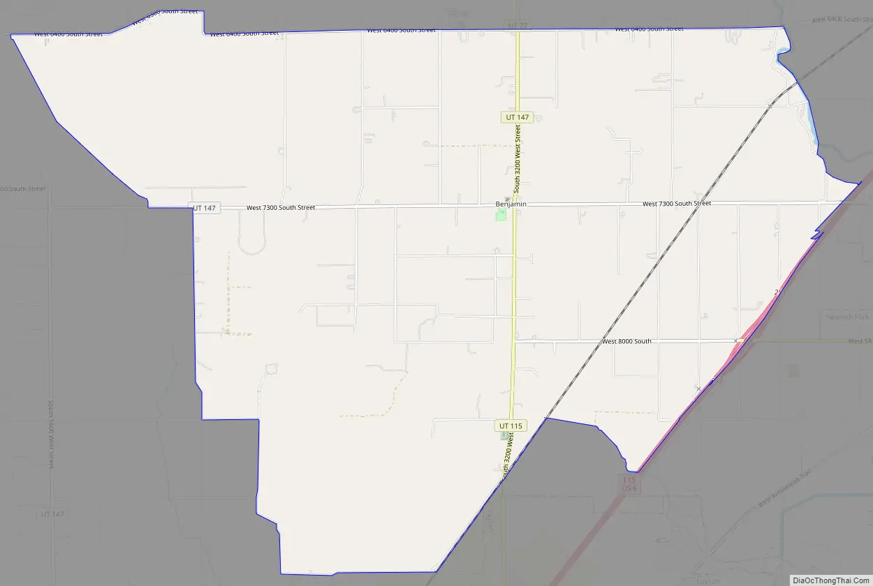
Benjamin Road Map
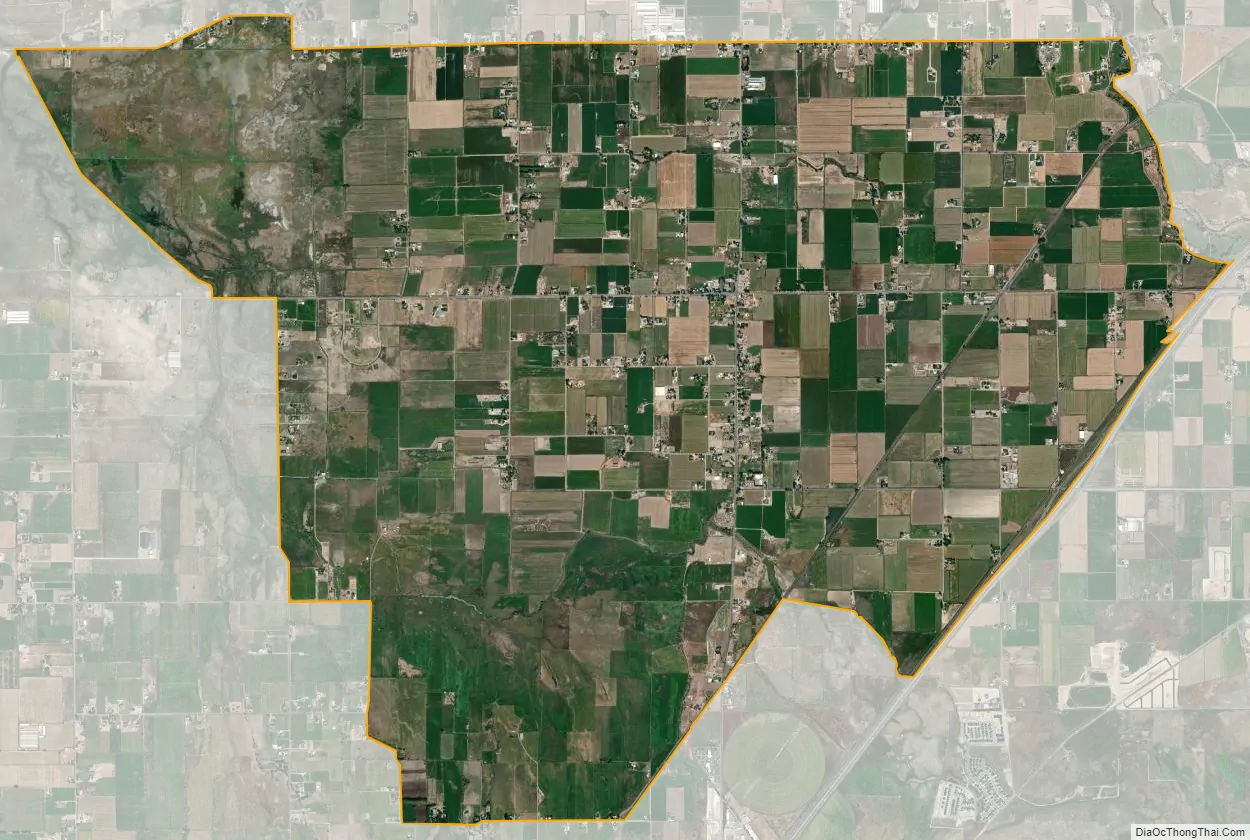
Benjamin city Satellite Map
Geography
According to the United States Census Bureau, the CDP has a total area of 12.4 square miles (32 km), all land.
See also
Map of Utah State and its subdivision: Map of other states:- Alabama
- Alaska
- Arizona
- Arkansas
- California
- Colorado
- Connecticut
- Delaware
- District of Columbia
- Florida
- Georgia
- Hawaii
- Idaho
- Illinois
- Indiana
- Iowa
- Kansas
- Kentucky
- Louisiana
- Maine
- Maryland
- Massachusetts
- Michigan
- Minnesota
- Mississippi
- Missouri
- Montana
- Nebraska
- Nevada
- New Hampshire
- New Jersey
- New Mexico
- New York
- North Carolina
- North Dakota
- Ohio
- Oklahoma
- Oregon
- Pennsylvania
- Rhode Island
- South Carolina
- South Dakota
- Tennessee
- Texas
- Utah
- Vermont
- Virginia
- Washington
- West Virginia
- Wisconsin
- Wyoming


