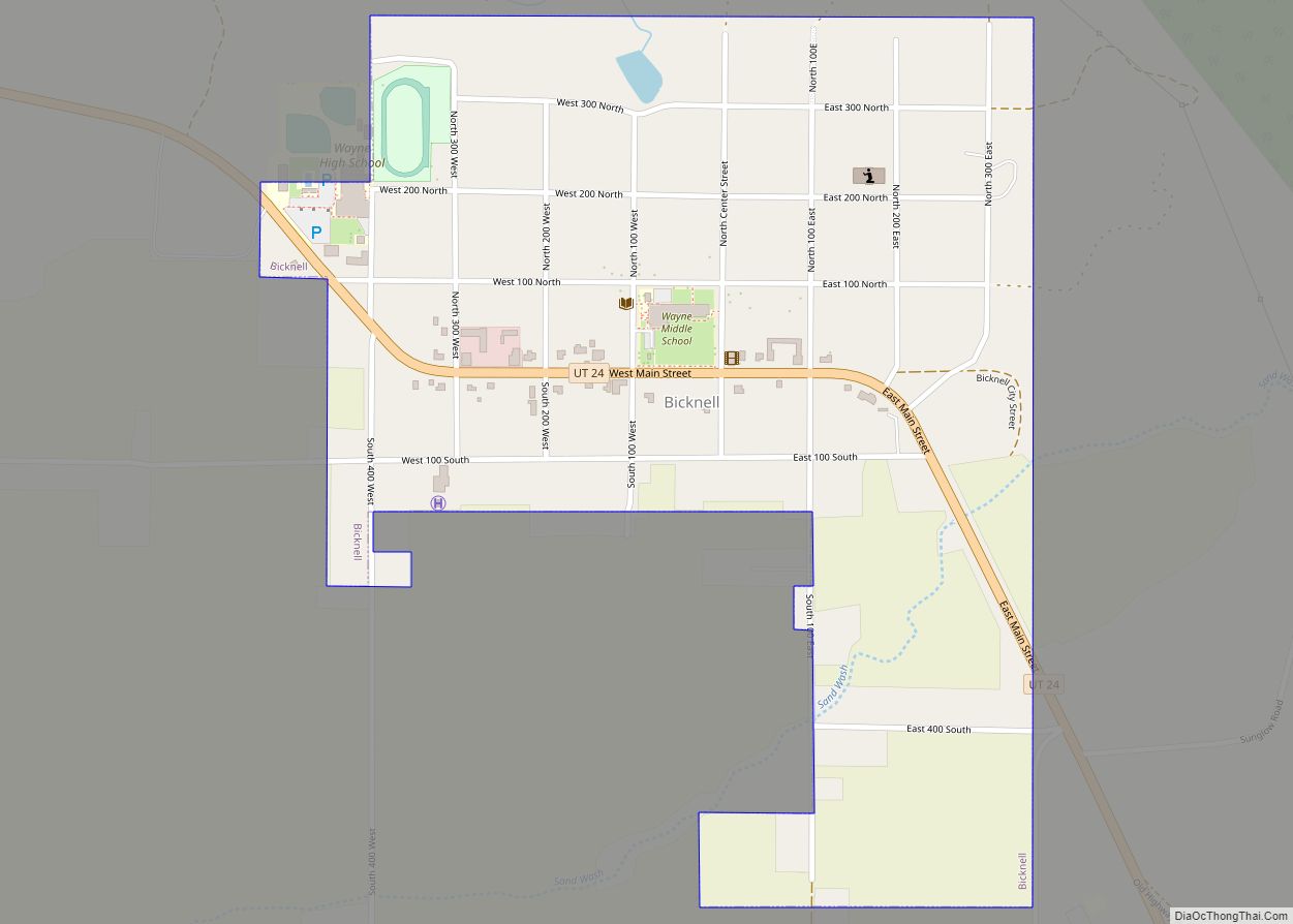
Bicknell is a town along State Route 24 in Wayne County, Utah, United States. As of the 2010 census, the town population was 327.
| Name: | Bicknell town |
|---|---|
| LSAD Code: | 43 |
| LSAD Description: | town (suffix) |
| State: | Utah |
| County: | Wayne County |
| Incorporated: | 1938 |
| Elevation: | 7,123 ft (2,171 m) |
| Total Area: | 0.57 sq mi (1.48 km²) |
| Land Area: | 0.57 sq mi (1.48 km²) |
| Water Area: | 0.00 sq mi (0.00 km²) |
| Total Population: | 327 |
| Population Density: | 586.39/sq mi (226.32/km²) |
| ZIP code: | 84715 |
| Area code: | 435 |
| FIPS code: | 4905490 |
| GNISfeature ID: | 1438623 |
Online Interactive Map
Click on ![]() to view map in "full screen" mode.
to view map in "full screen" mode.
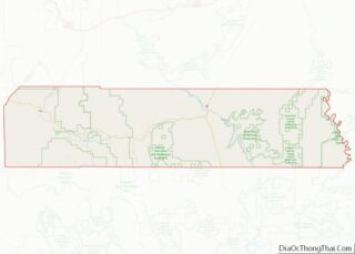
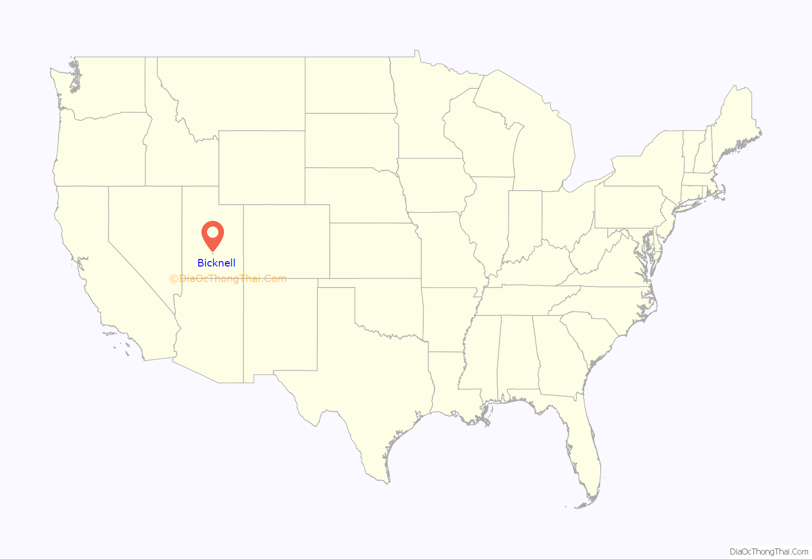
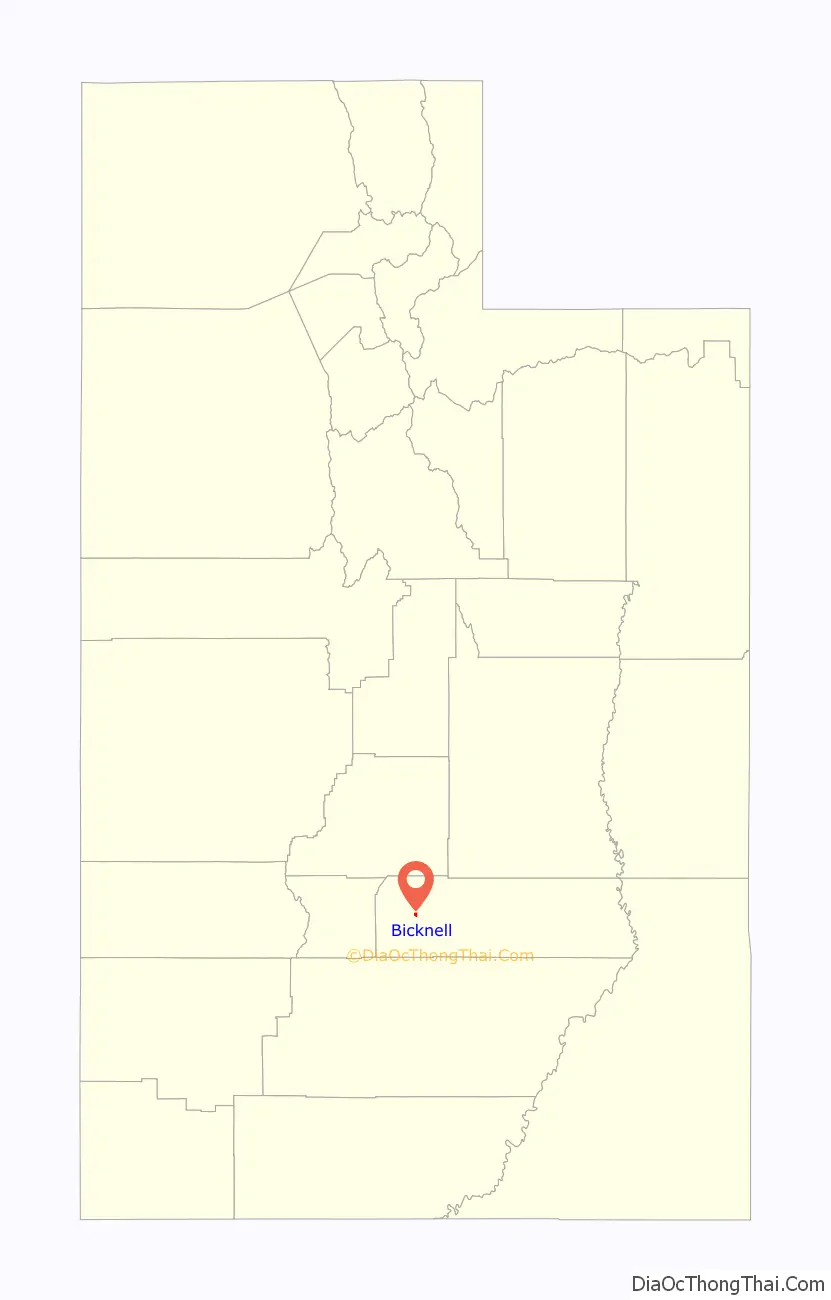
Bicknell location map. Where is Bicknell town?
History
Bicknell was originally called Thurber, or Thurber Town, for A.K. Thurber, who in 1879 built the first house in the area. In 1897 the town moved to a new location due to sandy soil and poor water conditions.
In 1914 Thomas W. Bicknell, a wealthy eastern author, historian, and Education Commissioner for Rhode Island, offered a thousand-volume library to any Utah town that would rename itself after him. The town of Grayson also wanted the library prize, so in a compromise in 1916, Grayson took the name of Blanding, Mr. Bicknell’s wife’s maiden name, as a tribute to her parents. The two towns split the library, each receiving 500 books.
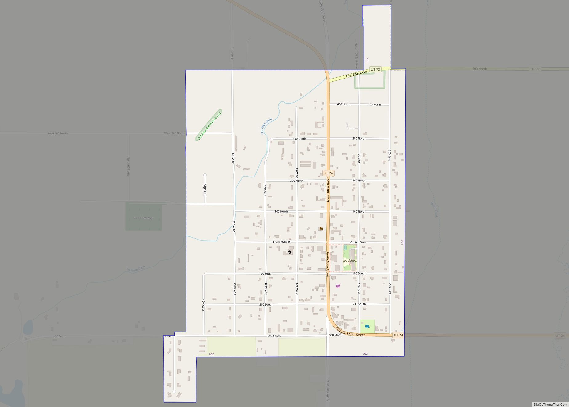
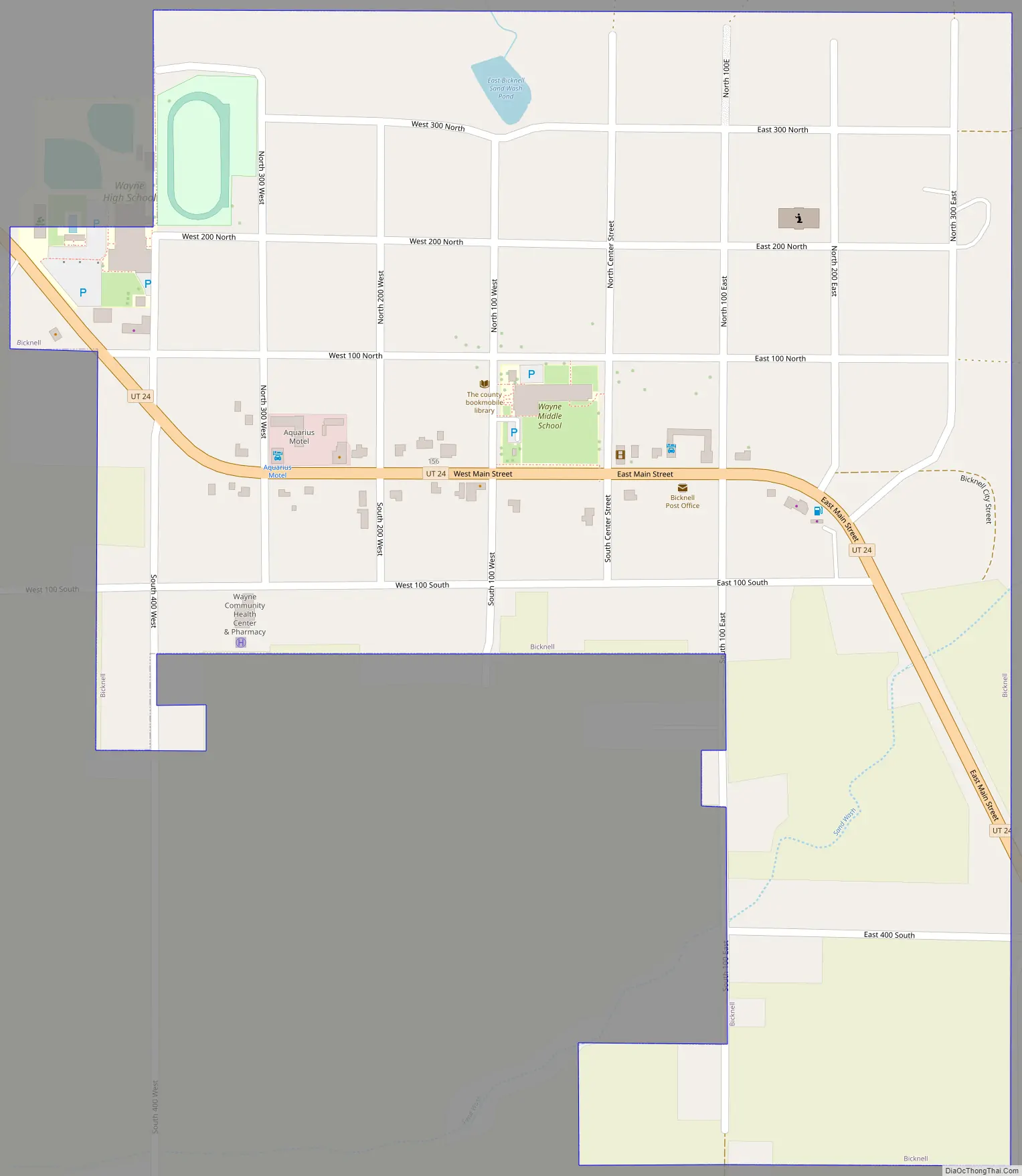
Bicknell Road Map
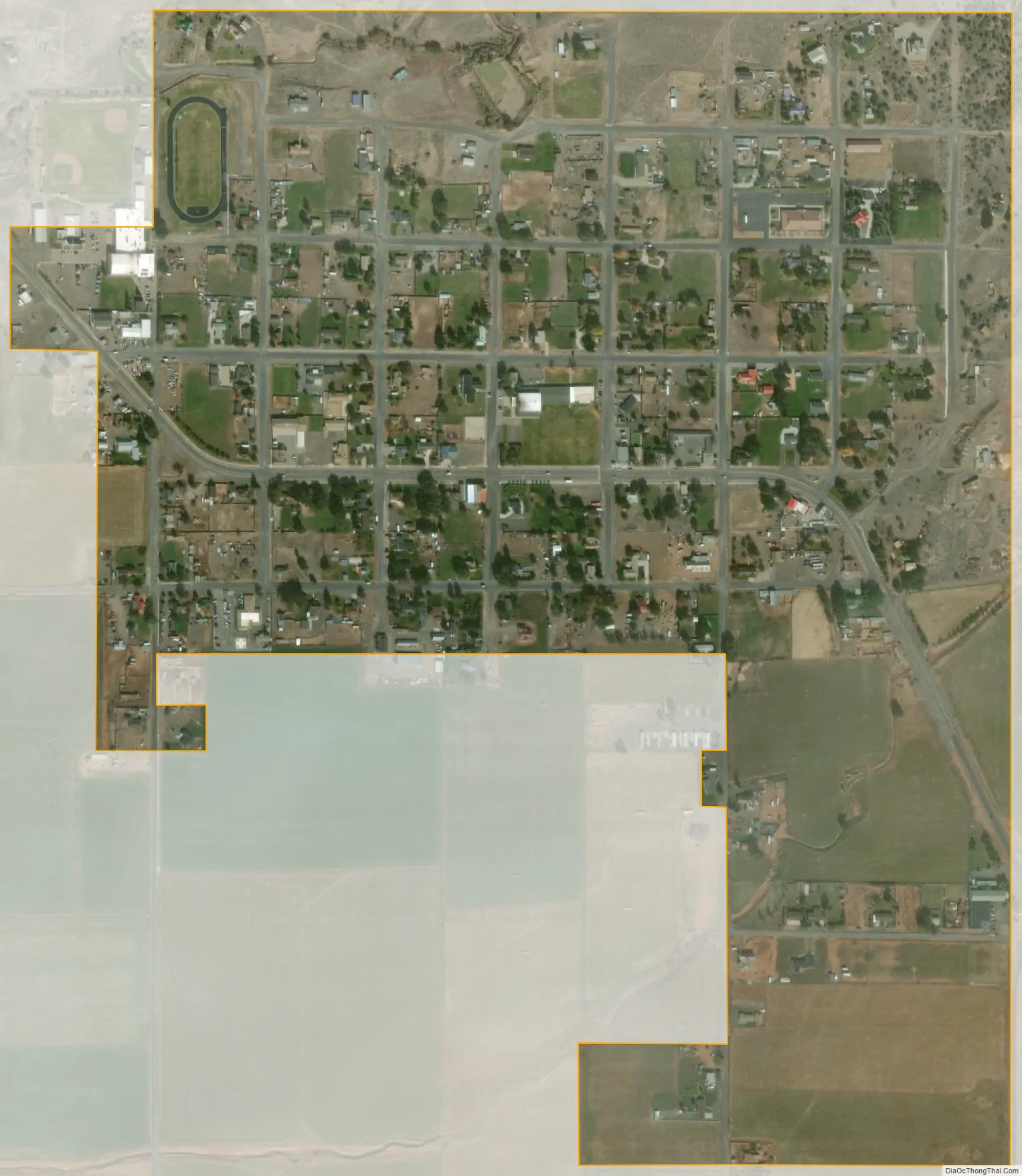
Bicknell city Satellite Map
Geography
According to the United States Census Bureau, the town has a total area of 0.62 square miles (1.6 km), all land. It is situated at an altitude of 7,125 feet (2,172 m) above sea level, in the Rabbit Valley in south-central Utah. The Fremont River flows through the valley, which lies between 11,305-foot (3,446 m) Thousand Lake Mountain to the north and 11,317-foot (3,449 m) Boulder Mountain to the south. Fishlake National Forest is to the north, and Dixie National Forest is to the south. The Capitol Reef National Park Visitors Center is 17 miles (27 km) to the east.
Distances
- 120 miles (190 km) northeast of Bryce Canyon National Park
- 110 miles (180 km) southwest of Price
- 165 miles (266 km) west of Moab
- 169 miles (272 km) south of Provo
- 212 miles (341 km) south of Salt Lake City
- 228 miles (367 km) northeast of St. George
Area sites
- Bicknell Bottoms wildlife habitat and fish hatchery (3.5 miles (5.6 km) SE)
- Boulder Mountain (11,317 feet (3,449 m), 37 miles (60 km) SE)
- Capitol Reef National Park (17 miles (27 km) E)
- Fruita Schoolhouse (20 miles (32 km) E)
- Teasdale Tithing Office and Granary (6 miles (10 km) SE)
- Thousand Lake Mountain (11,305 feet (3,446 m), 17 miles (27 km) NNE)
Climate
According to the Köppen Climate Classification system, Bicknell has a semi-arid climate, abbreviated “BSk” on climate maps.
See also
Map of Utah State and its subdivision: Map of other states:- Alabama
- Alaska
- Arizona
- Arkansas
- California
- Colorado
- Connecticut
- Delaware
- District of Columbia
- Florida
- Georgia
- Hawaii
- Idaho
- Illinois
- Indiana
- Iowa
- Kansas
- Kentucky
- Louisiana
- Maine
- Maryland
- Massachusetts
- Michigan
- Minnesota
- Mississippi
- Missouri
- Montana
- Nebraska
- Nevada
- New Hampshire
- New Jersey
- New Mexico
- New York
- North Carolina
- North Dakota
- Ohio
- Oklahoma
- Oregon
- Pennsylvania
- Rhode Island
- South Carolina
- South Dakota
- Tennessee
- Texas
- Utah
- Vermont
- Virginia
- Washington
- West Virginia
- Wisconsin
- Wyoming