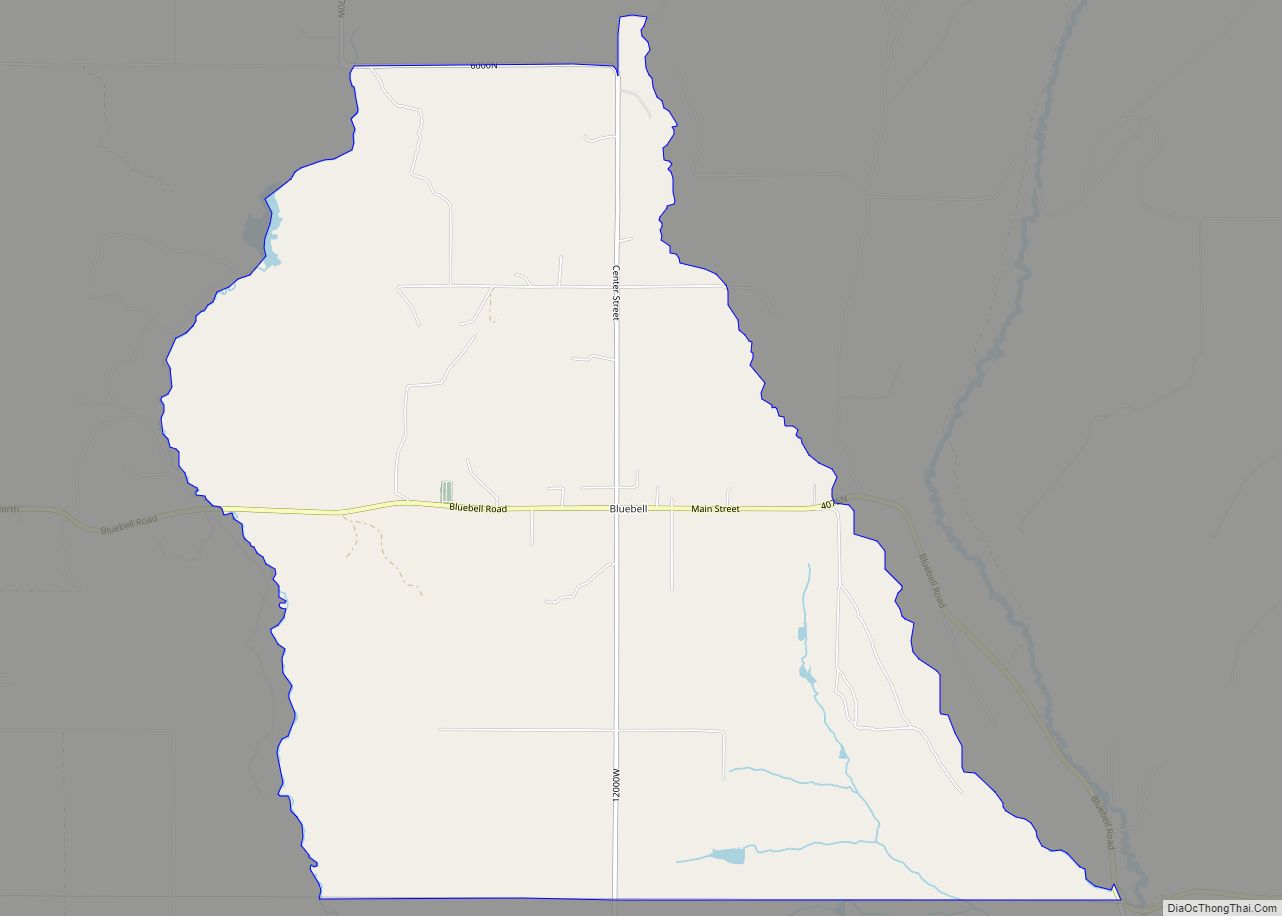
Bluebell is a census-designated place in eastern Duchesne County, Utah, United States, on the Uintah and Ouray Indian Reservation. The population as of the 2010 census was 293. It lies along local roads east of State Route 87, northeast of the city of Duchesne, the county seat of Duchesne County. Its elevation is 6,201 feet (1,890 m) above sea level. Although Bluebell is unincorporated, it has a post office, with the ZIP code of 84007.
Bluebell was first settled by Elmer Gates in 1907.
Bluebell’s most notable old families include the Remingtons, the Winklers, the Monsens, and the Goodriches. Its most notable attractions include Bluebell Store, the Monsen Family Corn Maze, and Bluebell Cemetery.
| Name: | Bluebell CDP |
|---|---|
| LSAD Code: | 57 |
| LSAD Description: | CDP (suffix) |
| State: | Utah |
| County: | Duchesne County |
| Elevation: | 6,201 ft (1,890 m) |
| Total Area: | 9.76 sq mi (25.28 km²) |
| Land Area: | 9.74 sq mi (25.23 km²) |
| Water Area: | 0.02 sq mi (0.05 km²) |
| Total Population: | 293 |
| Population Density: | 30/sq mi (11.6/km²) |
| ZIP code: | 84007 |
| FIPS code: | 4906590 |
| GNISfeature ID: | 1425831 |
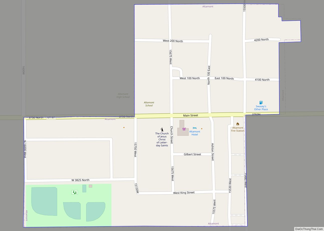
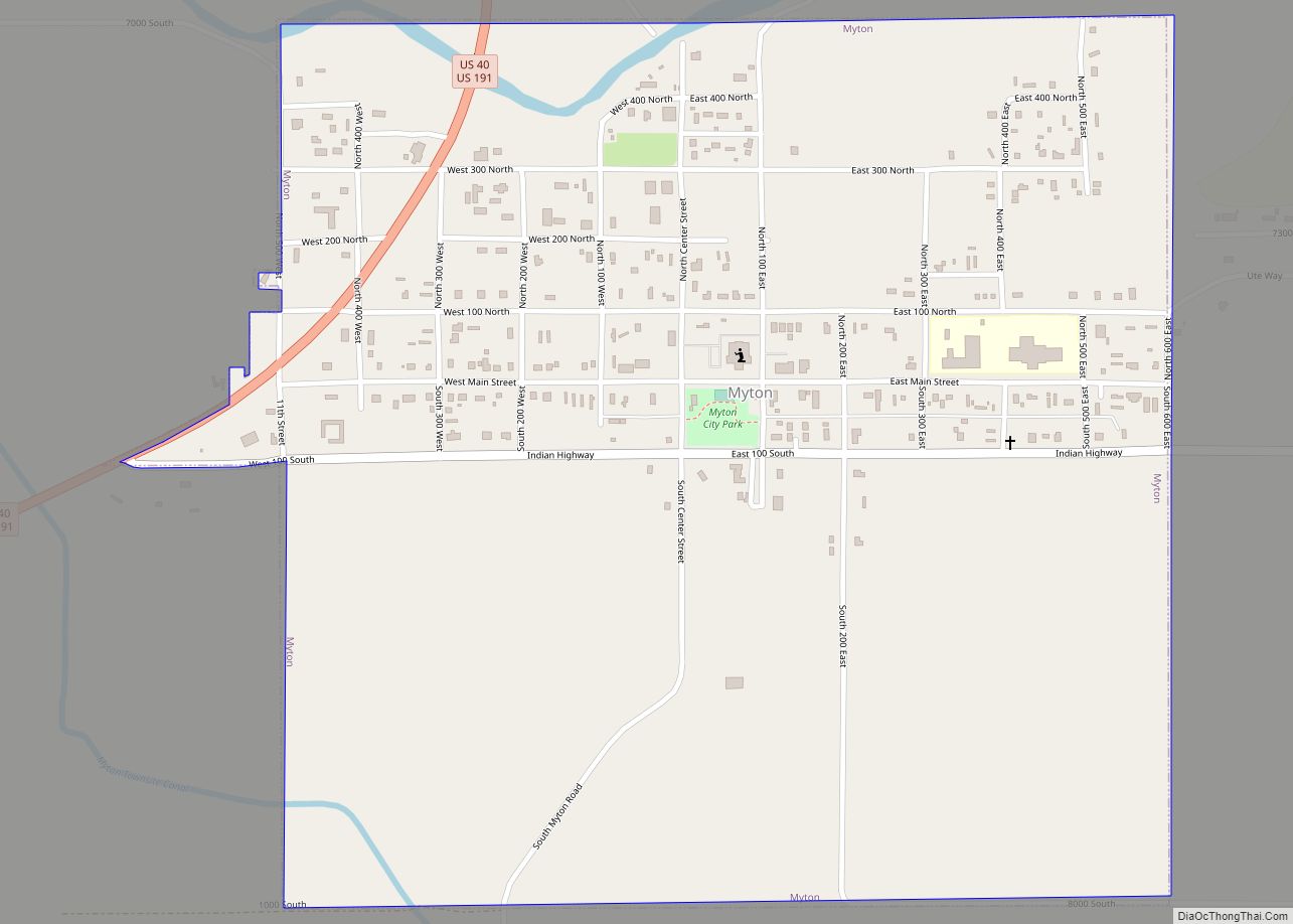
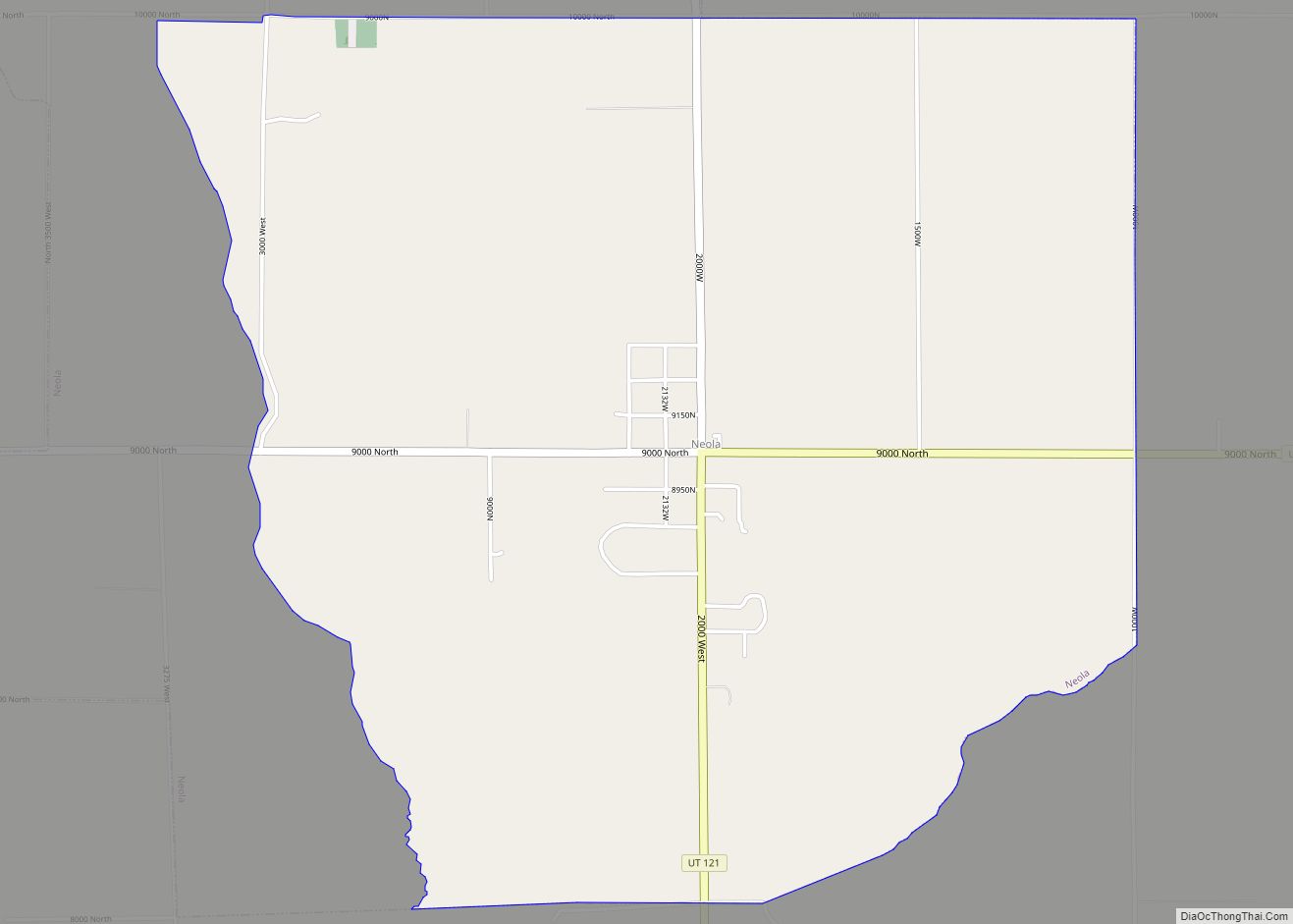
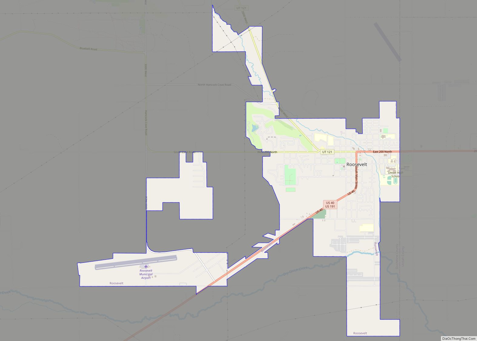
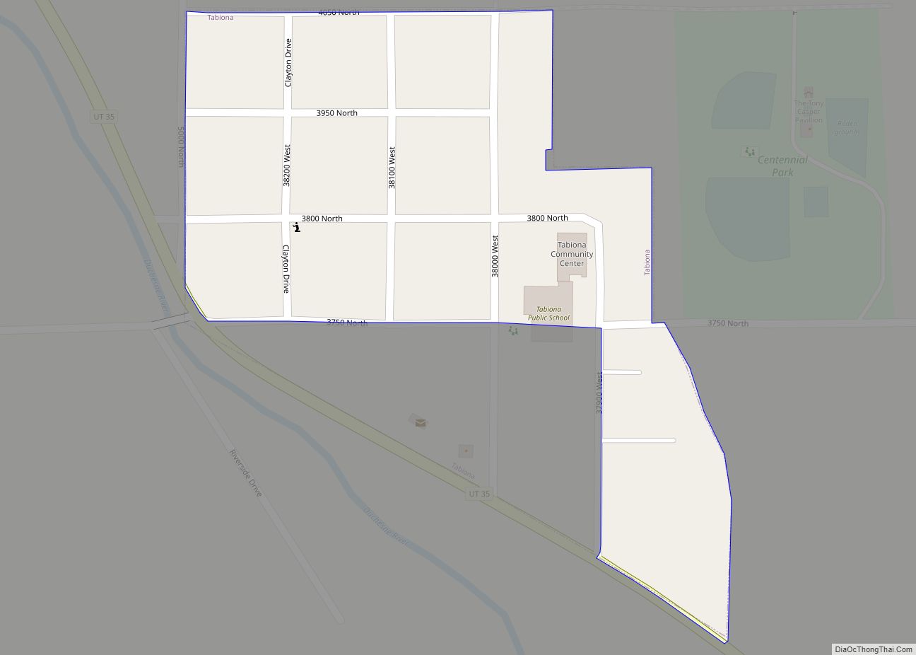
Online Interactive Map
Click on ![]() to view map in "full screen" mode.
to view map in "full screen" mode.
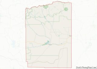
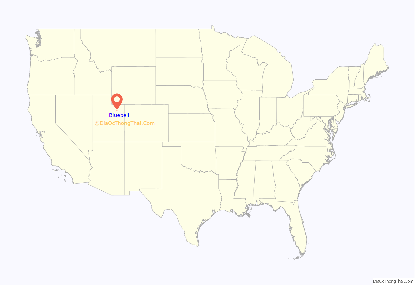
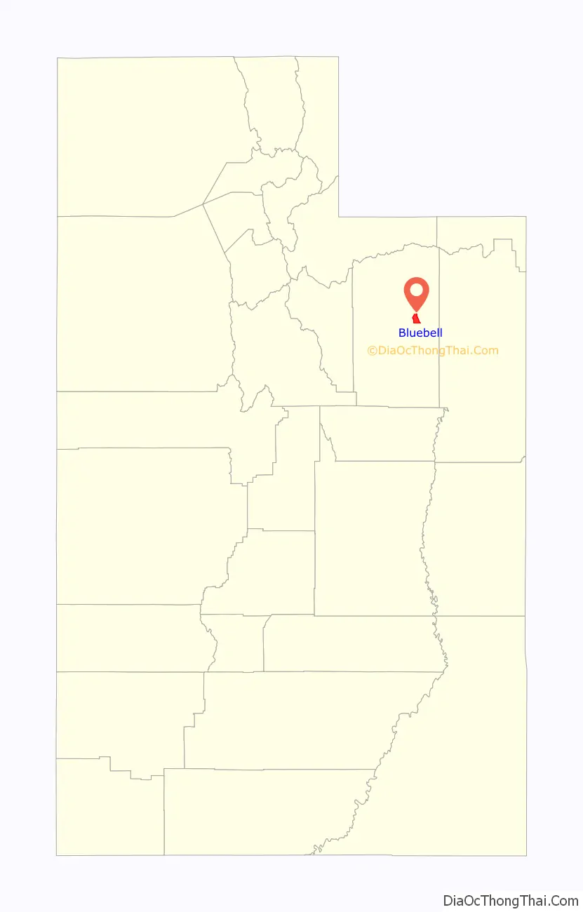
Bluebell location map. Where is Bluebell CDP?
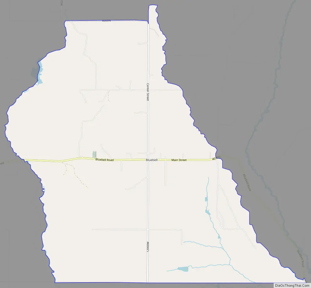
Bluebell Road Map
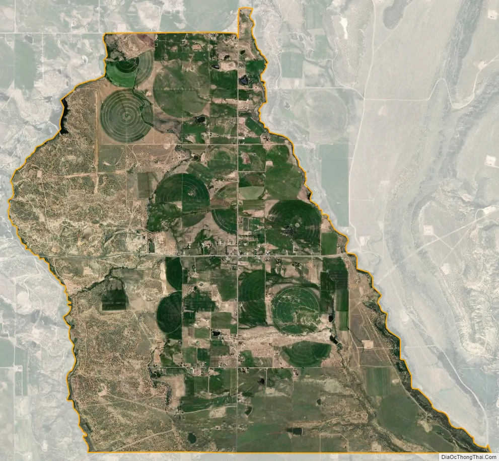
Bluebell city Satellite Map
See also
Map of Utah State and its subdivision: Map of other states:- Alabama
- Alaska
- Arizona
- Arkansas
- California
- Colorado
- Connecticut
- Delaware
- District of Columbia
- Florida
- Georgia
- Hawaii
- Idaho
- Illinois
- Indiana
- Iowa
- Kansas
- Kentucky
- Louisiana
- Maine
- Maryland
- Massachusetts
- Michigan
- Minnesota
- Mississippi
- Missouri
- Montana
- Nebraska
- Nevada
- New Hampshire
- New Jersey
- New Mexico
- New York
- North Carolina
- North Dakota
- Ohio
- Oklahoma
- Oregon
- Pennsylvania
- Rhode Island
- South Carolina
- South Dakota
- Tennessee
- Texas
- Utah
- Vermont
- Virginia
- Washington
- West Virginia
- Wisconsin
- Wyoming