Myton is a city in Duchesne County, Utah, United States. Established in 1905, Myton had a population of 569 at the 2010 census.
| Name: | Myton city |
|---|---|
| LSAD Code: | 25 |
| LSAD Description: | city (suffix) |
| State: | Utah |
| County: | Duchesne County |
| Elevation: | 5,085 ft (1,550 m) |
| Total Area: | 1.01 sq mi (2.61 km²) |
| Land Area: | 1.01 sq mi (2.61 km²) |
| Water Area: | 0.00 sq mi (0.00 km²) |
| Total Population: | 569 |
| Population Density: | 600.59/sq mi (231.95/km²) |
| ZIP code: | 84052 |
| Area code: | 435 |
| FIPS code: | 4953340 |
| GNISfeature ID: | 1430626 |
| Website: | www.mytoncity.com |
Online Interactive Map
Click on ![]() to view map in "full screen" mode.
to view map in "full screen" mode.
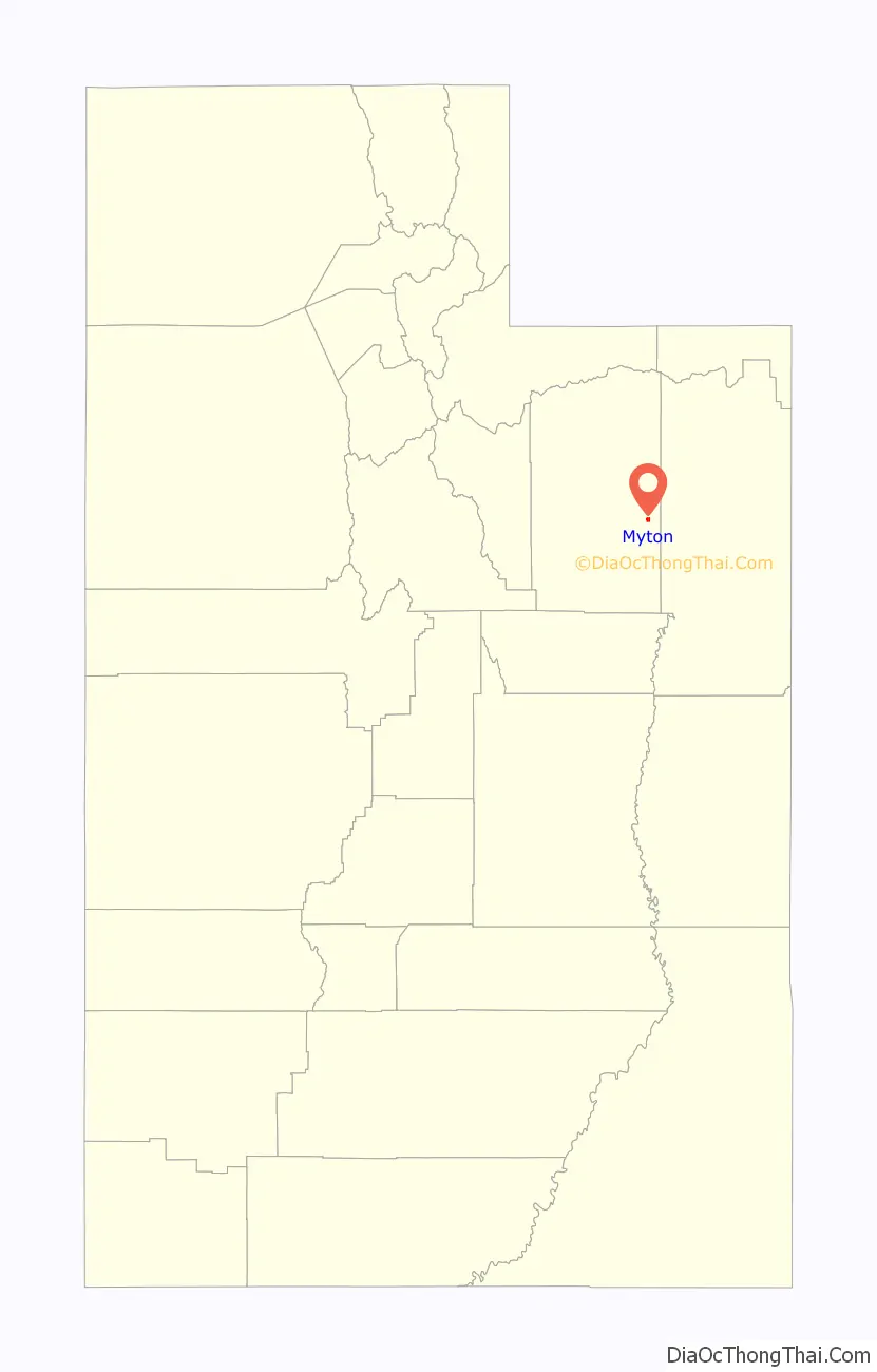
Myton location map. Where is Myton city?

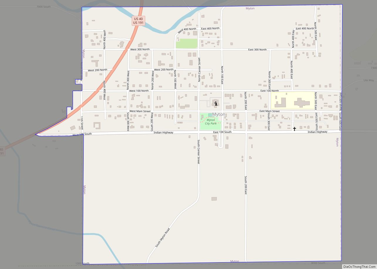
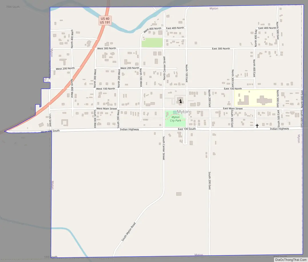
Myton Road Map
Myton city Satellite Map

Geography
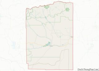
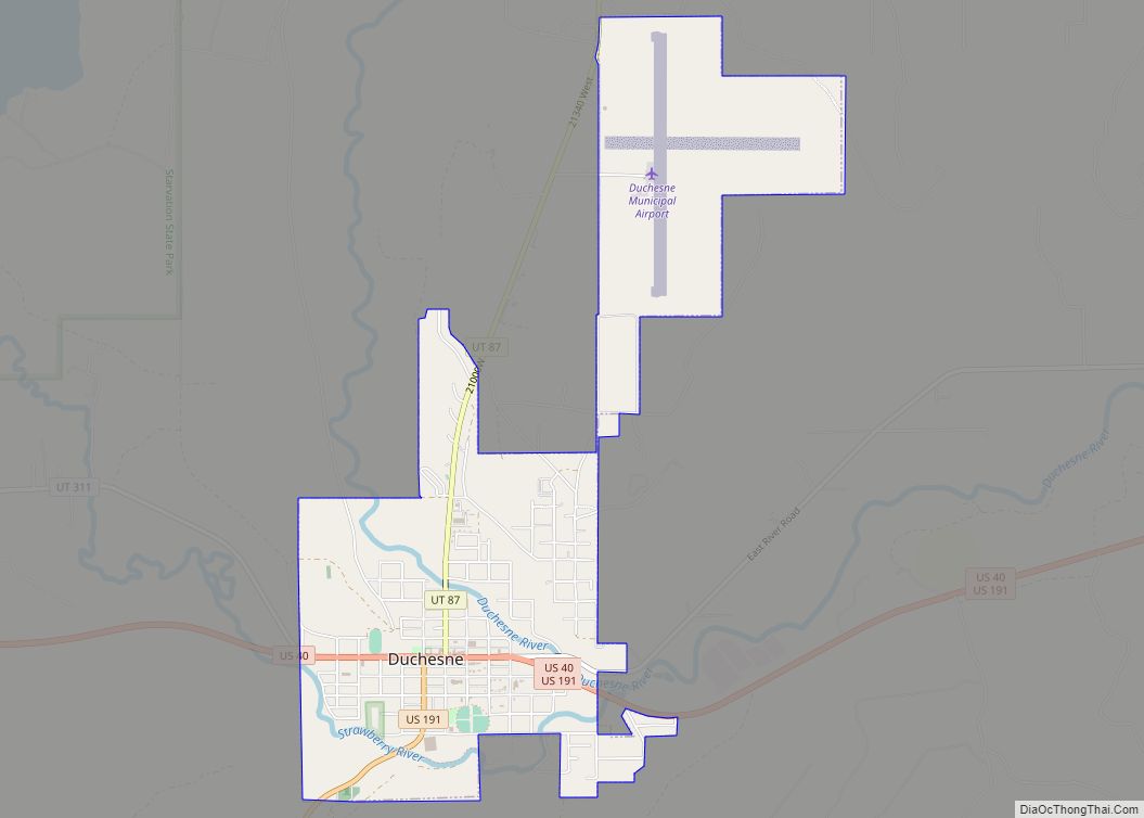
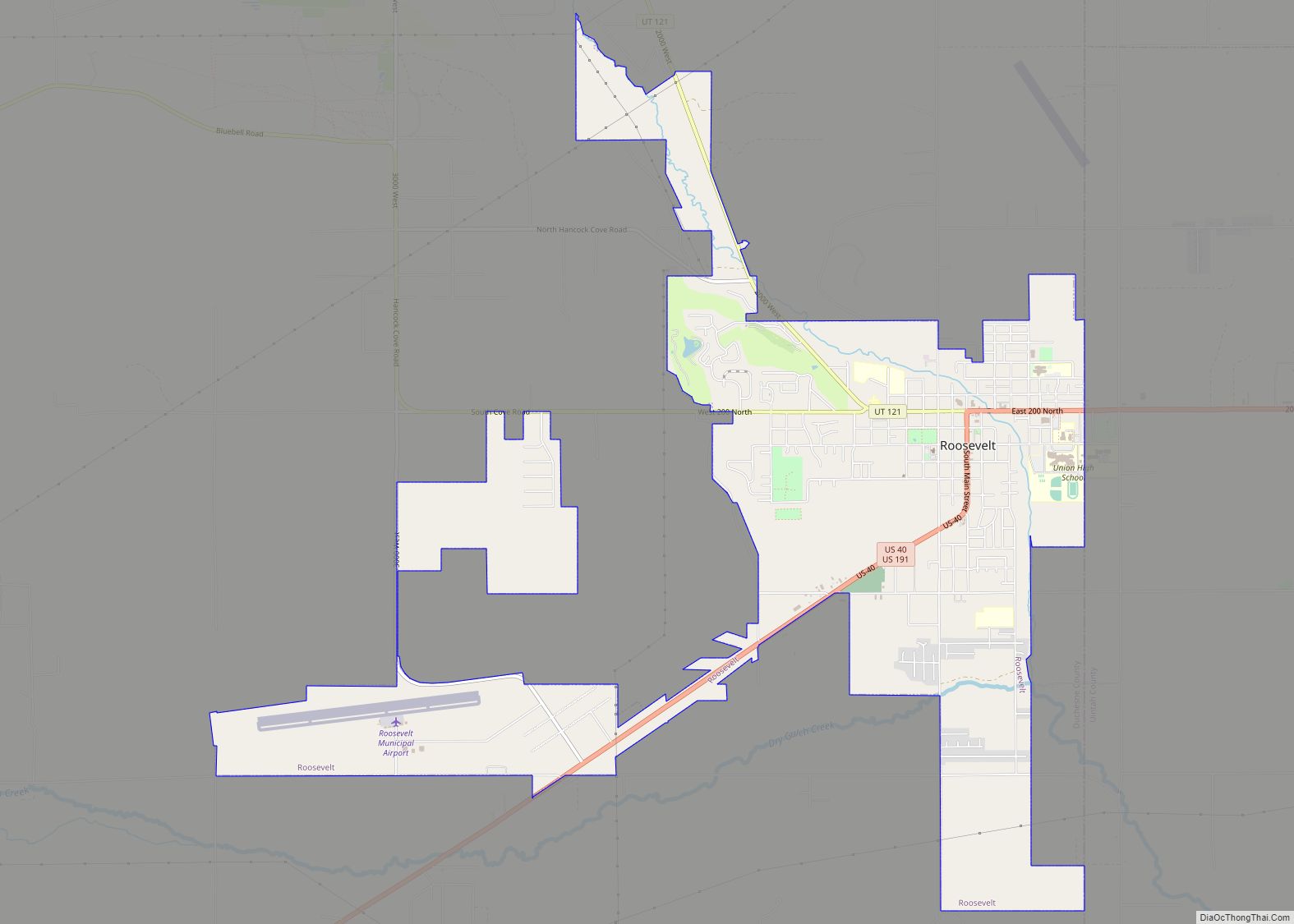
Myton is located in eastern Duchesne County along U.S. Routes 40 and 191. Duchesne, the county seat, is 19 miles (31 km) to the west, and Roosevelt, the largest city by population in Duchesne County, is 10 miles (16 km) to the northeast.
According to the United States Census Bureau, the city has a total area of 1.0 square mile (2.6 km), all land. Myton is on the south side of the Duchesne River, an east-flowing tributary of the Green River.
Climate
According to the Köppen Climate Classification system, Myton has a semi-arid climate, abbreviated BSk on climate maps.
In 1974, Myton recorded a mere 1.34 inches or 34.0 millimetres of precipitation for the entire year, the record lowest for a calendar year in Utah, and the second-lowest figure ever recorded in the US outside the southwestern deserts.
See also
Map of Utah State and its subdivision: Map of other states:- Alabama
- Alaska
- Arizona
- Arkansas
- California
- Colorado
- Connecticut
- Delaware
- District of Columbia
- Florida
- Georgia
- Hawaii
- Idaho
- Illinois
- Indiana
- Iowa
- Kansas
- Kentucky
- Louisiana
- Maine
- Maryland
- Massachusetts
- Michigan
- Minnesota
- Mississippi
- Missouri
- Montana
- Nebraska
- Nevada
- New Hampshire
- New Jersey
- New Mexico
- New York
- North Carolina
- North Dakota
- Ohio
- Oklahoma
- Oregon
- Pennsylvania
- Rhode Island
- South Carolina
- South Dakota
- Tennessee
- Texas
- Utah
- Vermont
- Virginia
- Washington
- West Virginia
- Wisconsin
- Wyoming