Roosevelt is a city in Duchesne County, Utah, United States. The population was 6,046 at the 2010 census, with an estimated population of 7,070 in 2018.
The proper pronunciation of the city’s name /ˈroʊzəvɛlt/ ROH-zə-velt is based on how President Theodore Roosevelt pronounced his name: according to the man himself, “pronounced as if it was spelled ‘Rosavelt.'”
| Name: | Roosevelt city |
|---|---|
| LSAD Code: | 25 |
| LSAD Description: | city (suffix) |
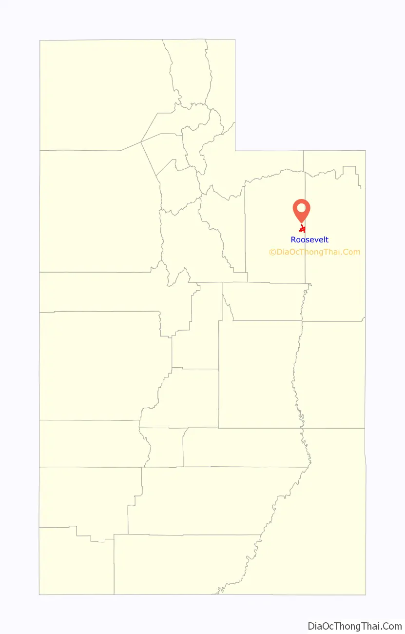
| State: | Utah |
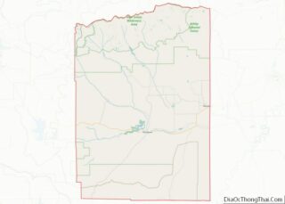
| County: | Duchesne County |
| Founded: | 1905 |
| Elevation: | 5,095 ft (1,553 m) |
| Total Area: | 6.76 sq mi (17.50 km²) |
| Land Area: | 6.76 sq mi (17.50 km²) |
| Water Area: | 0.00 sq mi (0.00 km²) |
| Population Density: | 1,070.13/sq mi (413.21/km²) |
| ZIP code: | 84066 |
| Area code: | 435 |
| FIPS code: | 4964670 |
| GNISfeature ID: | 1431989 |
| Website: | www.rooseveltcity.com |
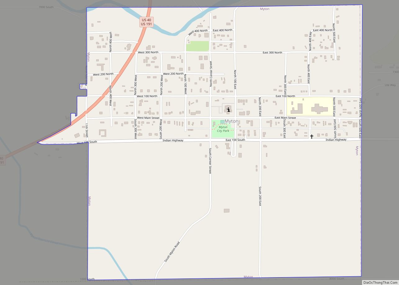
Online Interactive Map
Click on ![]() to view map in "full screen" mode.
to view map in "full screen" mode.
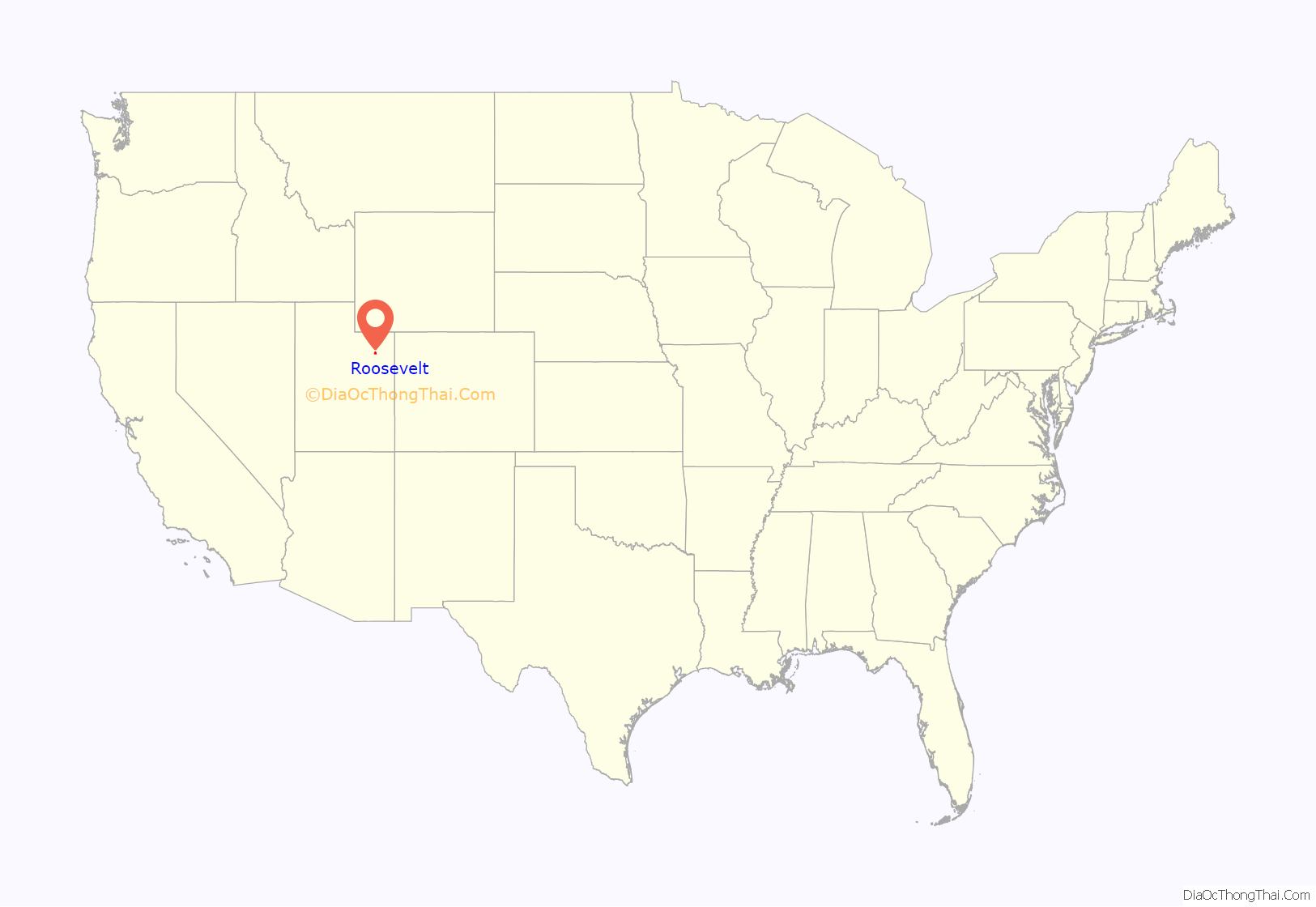
Roosevelt location map. Where is Roosevelt city?
History
In 1905, by an act of Congress, the unallotted land of the Ute Indian Reservation was opened to homesteading. Several thousand hopeful 20th-century pioneers congregated in Provo and Grand Junction with the hope of successfully drawing lots for a homestead in a fertile region of the soon-to-be-opened lands. Throughout the fall and winter of 1905–06, the settlers came to the Uinta Basin.
The town of Roosevelt was founded in early 1906 when Ed Harmston turned his homestead claim into a townsite and laid out plots. His wife named the prospective town in honor of the president of the United States, Theodore Roosevelt. Roosevelt was originally called Dry Gulch City, taking its name from a nearby gulch that only carries water during the early spring runoff season. Within a short time a store, a post office, and the Dry Gulch Irrigation Company were in business in the new town. In 1907, the Harmstons donated 2 acres (8,100 m) of ground for the town’s citizens to build a school. The first class had about fifteen pupils, who had to provide books from their homes. Roosevelt soon became the economic center for the area, eclipsing Myton and Duchesne.
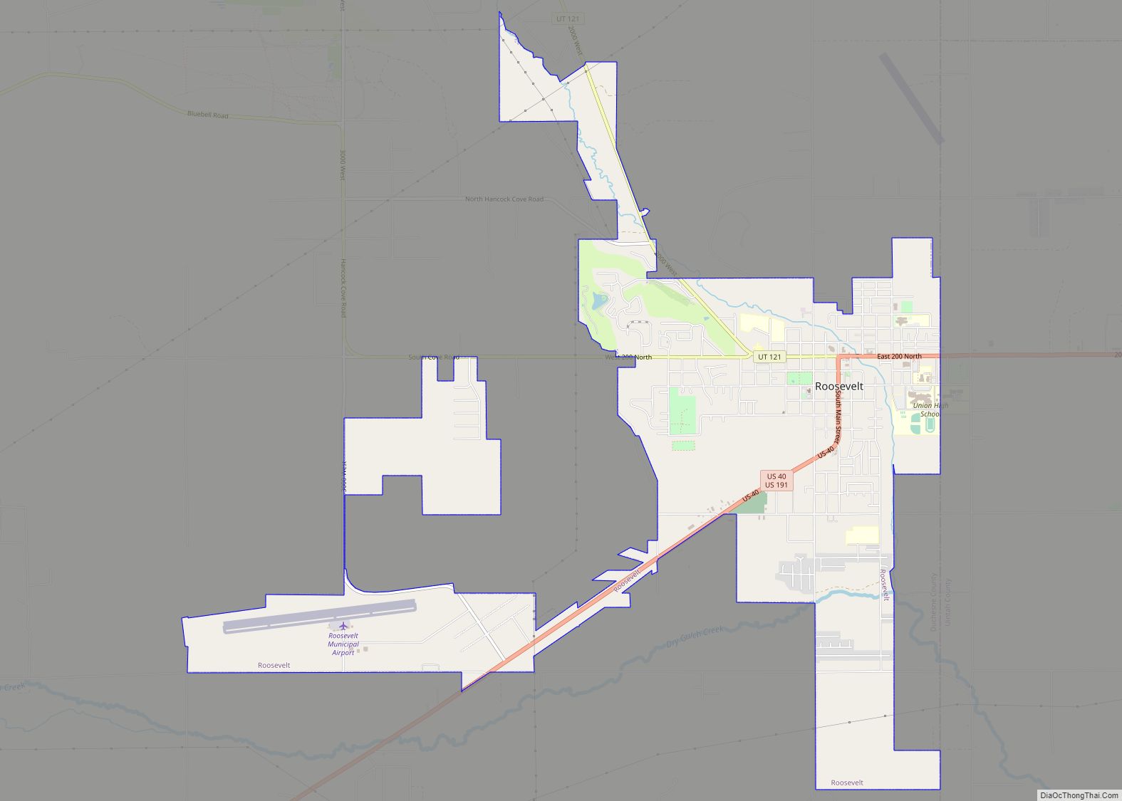
Roosevelt is situated on U.S. Route 40 in the northeast corner of the state, south of the Uinta Mountains, at an elevation of 5,250 feet (1,600 m). The town was incorporated at a mass meeting of 44 citizens on 21 February 1913. From 1906 to 1914 Roosevelt was in Wasatch County, but in 1914 Duchesne County was formed from part of Wasatch County, and, as the largest town in the county, Roosevelt anticipated becoming the county seat. However, when the total county-wide vote came in, the seat went to Duchesne.
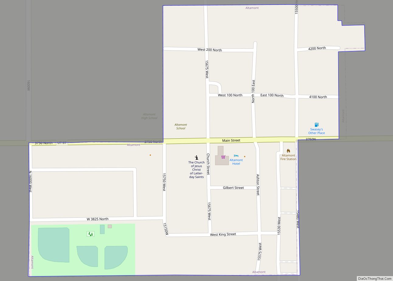
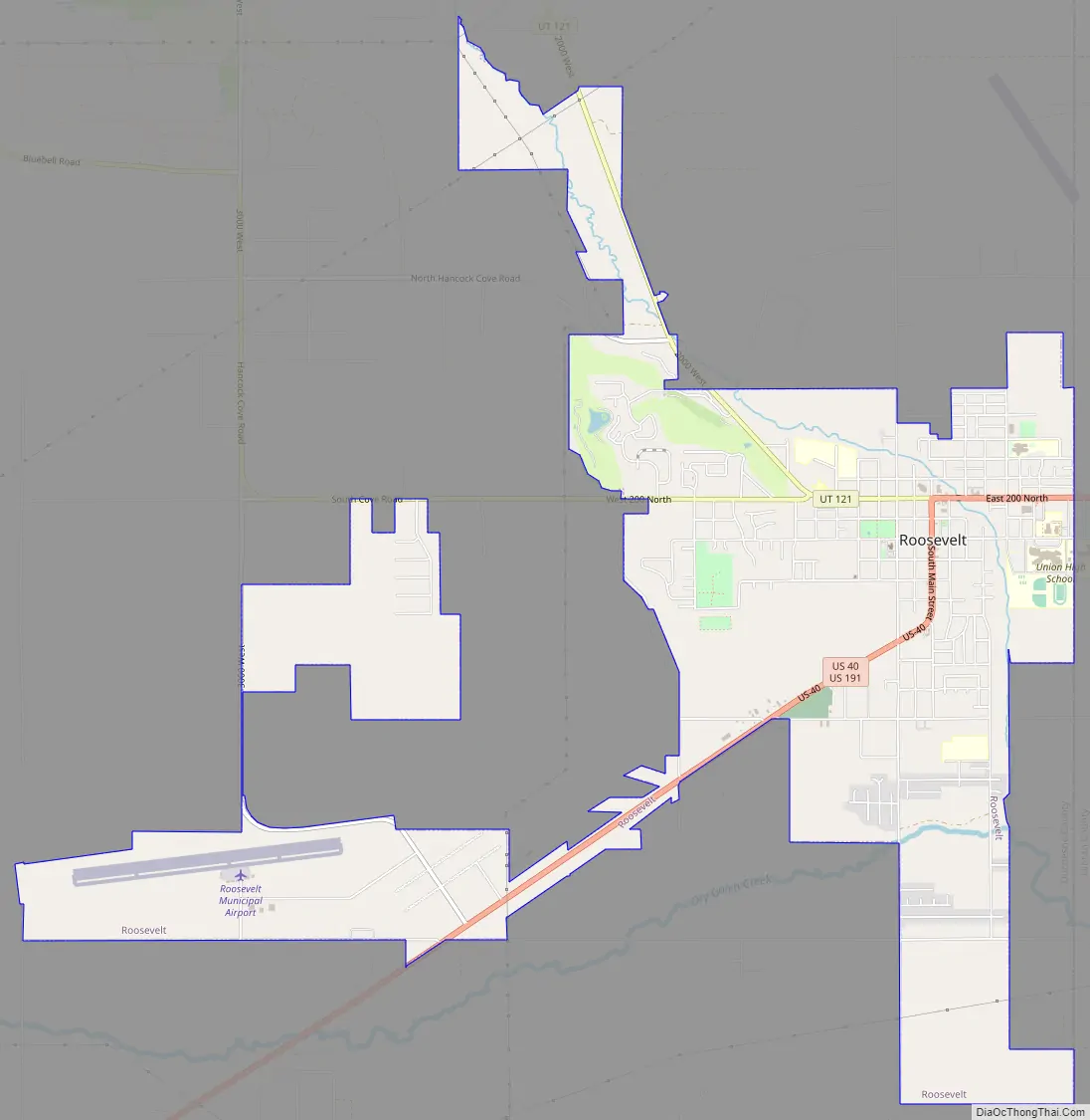
Roosevelt Road Map
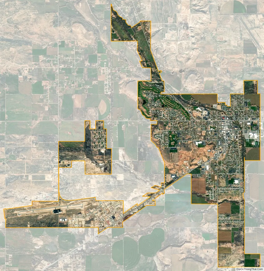
Roosevelt city Satellite Map
Geography
The city is on the eastern edge of Duchesne County, adjacent to the border with Uintah County. The town of Ballard borders Roosevelt to the east. U.S. Routes 40 and 191 pass through Roosevelt as Main Street, leading east 30 miles (48 km) to Vernal and west 28 miles (45 km) to Duchesne.
According to the United States Census Bureau, the city of Roosevelt has a total area of 5.6 square miles (14.4 km), all land.
See also
Map of Utah State and its subdivision: Map of other states:- Alabama
- Alaska
- Arizona
- Arkansas
- California
- Colorado
- Connecticut
- Delaware
- District of Columbia
- Florida
- Georgia
- Hawaii
- Idaho
- Illinois
- Indiana
- Iowa
- Kansas
- Kentucky
- Louisiana
- Maine
- Maryland
- Massachusetts
- Michigan
- Minnesota
- Mississippi
- Missouri
- Montana
- Nebraska
- Nevada
- New Hampshire
- New Jersey
- New Mexico
- New York
- North Carolina
- North Dakota
- Ohio
- Oklahoma
- Oregon
- Pennsylvania
- Rhode Island
- South Carolina
- South Dakota
- Tennessee
- Texas
- Utah
- Vermont
- Virginia
- Washington
- West Virginia
- Wisconsin
- Wyoming