Elberta is a census-designated place (CDP) in Utah County, Utah, United States. It is part of the Provo–Orem Metropolitan Statistical Area. The population was 256 at the 2010 census. It was founded as Mt. Nebo. After the water failed in 1901, most of the early settlers moved away. It was purchased by Matthew B. Whitney, a native of New York, on November 7, 1907, and he renamed it “Elberta” after the peach cultivar.
| Name: | Elberta CDP |
|---|---|
| LSAD Code: | 57 |
| LSAD Description: | CDP (suffix) |
| State: | Utah |
| County: | Utah County |
| Elevation: | 4,701 ft (1,433 m) |
| Total Area: | 13.7 sq mi (35.4 km²) |
| Land Area: | 13.7 sq mi (35.4 km²) |
| Water Area: | 0.04 sq mi (0.1 km²) |
| Total Population: | 256 |
| Population Density: | 19/sq mi (7.2/km²) |
| ZIP code: | 84626 |
| Area code: | 801 |
| FIPS code: | 4922210 |
| GNISfeature ID: | 1427772 |
Online Interactive Map
Click on ![]() to view map in "full screen" mode.
to view map in "full screen" mode.
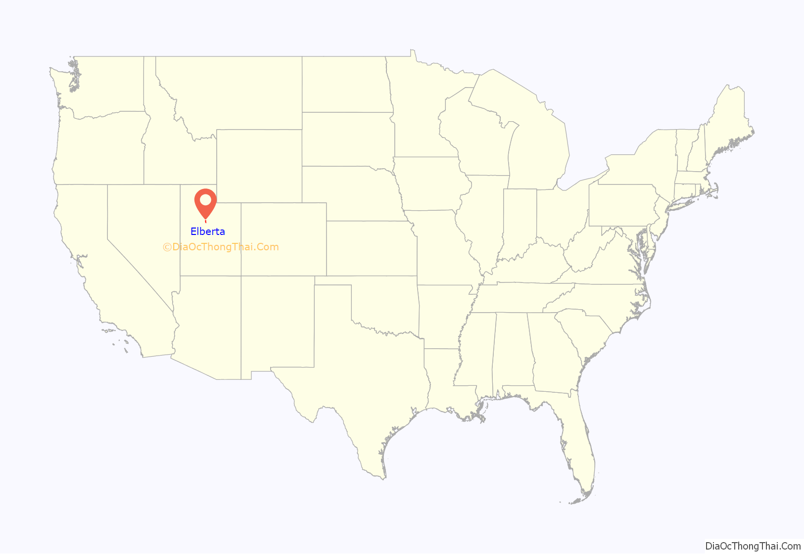
Elberta location map. Where is Elberta CDP?
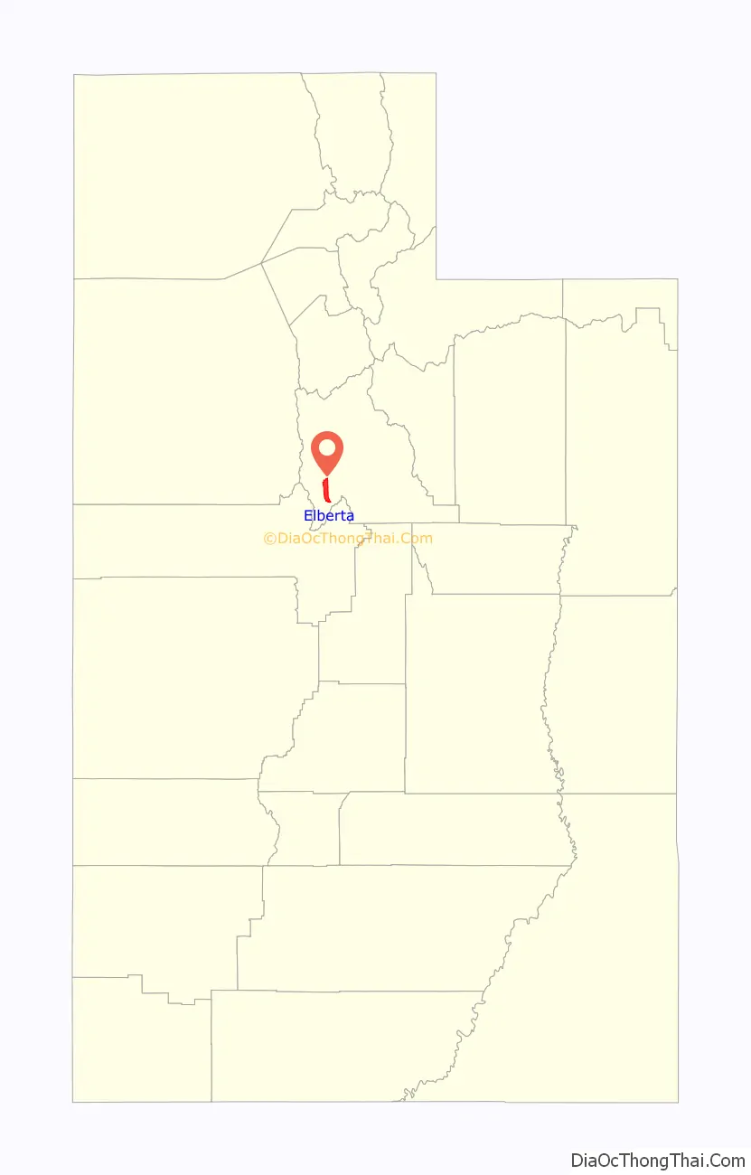
Elberta Road Map
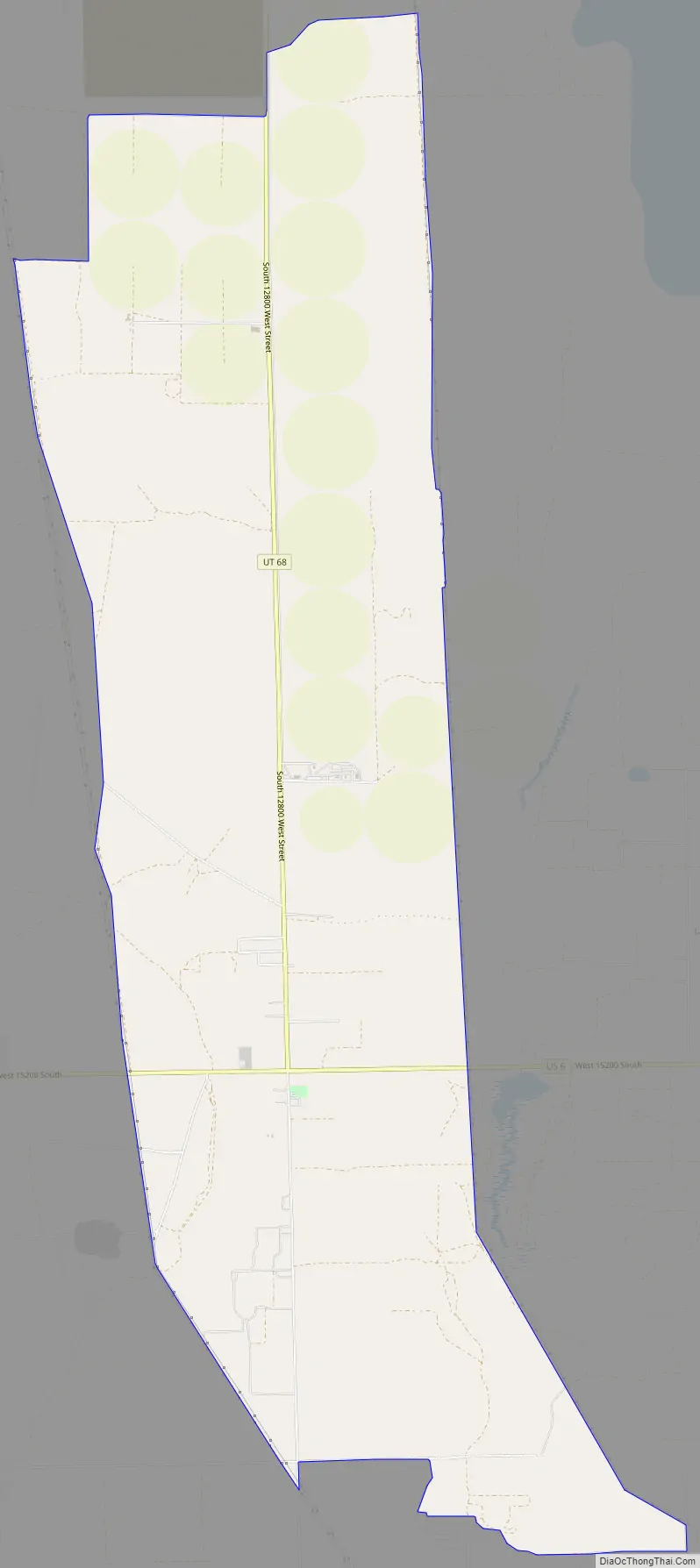
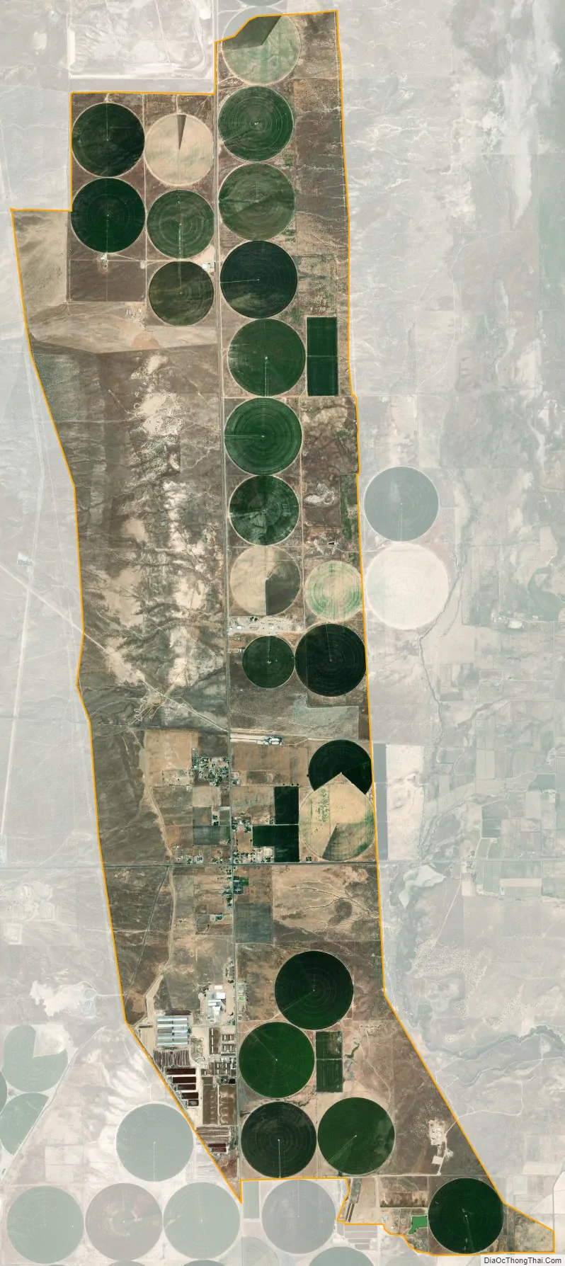
Elberta city Satellite Map
Geography
Elberta is located near the center of Goshen Valley along U.S. Route 6, three miles west of Goshen.
According to the United States Census Bureau, the CDP has a total area of 13.68 square miles (35.43 km), of which 13.65 square miles (35.36 km) is land and 0.03 square miles (0.07 km), or 0.20%, is water.
See also
Map of Utah State and its subdivision: Map of other states:- Alabama
- Alaska
- Arizona
- Arkansas
- California
- Colorado
- Connecticut
- Delaware
- District of Columbia
- Florida
- Georgia
- Hawaii
- Idaho
- Illinois
- Indiana
- Iowa
- Kansas
- Kentucky
- Louisiana
- Maine
- Maryland
- Massachusetts
- Michigan
- Minnesota
- Mississippi
- Missouri
- Montana
- Nebraska
- Nevada
- New Hampshire
- New Jersey
- New Mexico
- New York
- North Carolina
- North Dakota
- Ohio
- Oklahoma
- Oregon
- Pennsylvania
- Rhode Island
- South Carolina
- South Dakota
- Tennessee
- Texas
- Utah
- Vermont
- Virginia
- Washington
- West Virginia
- Wisconsin
- Wyoming


