Genola (/dʒəˈnoʊlə/ jə-NOH-lə) is a town in Utah County, Utah, United States. It is part of the Provo–Orem Metropolitan Statistical Area. The population was 1,370 at the 2010 census.
| Name: | Genola town |
|---|---|
| LSAD Code: | 43 |
| LSAD Description: | town (suffix) |
| State: | Utah |
| County: | Utah County |
| Incorporated: | December 29, 1935 |
| Elevation: | 4,600 ft (1,402 m) |
| Total Area: | 14.19 sq mi (36.75 km²) |
| Land Area: | 13.76 sq mi (35.63 km²) |
| Water Area: | 0.43 sq mi (1.11 km²) |
| Total Population: | 1,370 |
| Population Density: | 113.90/sq mi (43.97/km²) |
| ZIP code: | 84655 |
| Area code: | 385, 801 |
| FIPS code: | 4928810 |
| GNISfeature ID: | 1441295 |
| Website: | genola.org |
Online Interactive Map
Click on ![]() to view map in "full screen" mode.
to view map in "full screen" mode.
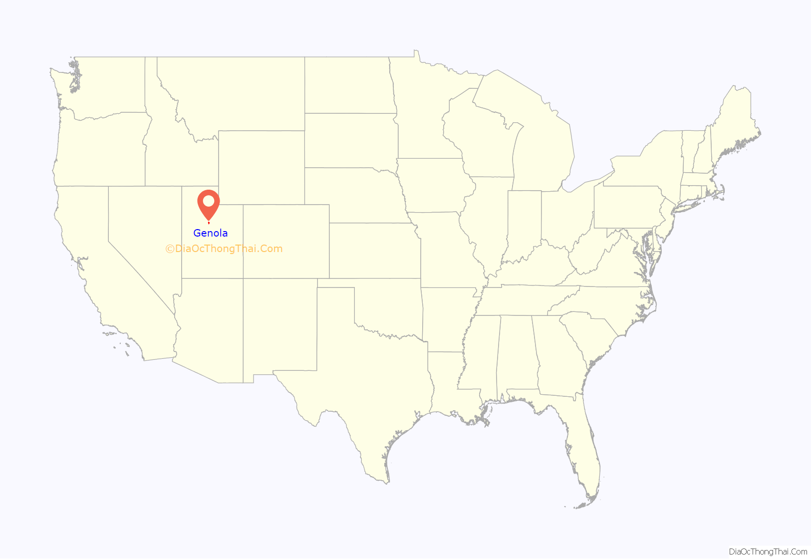
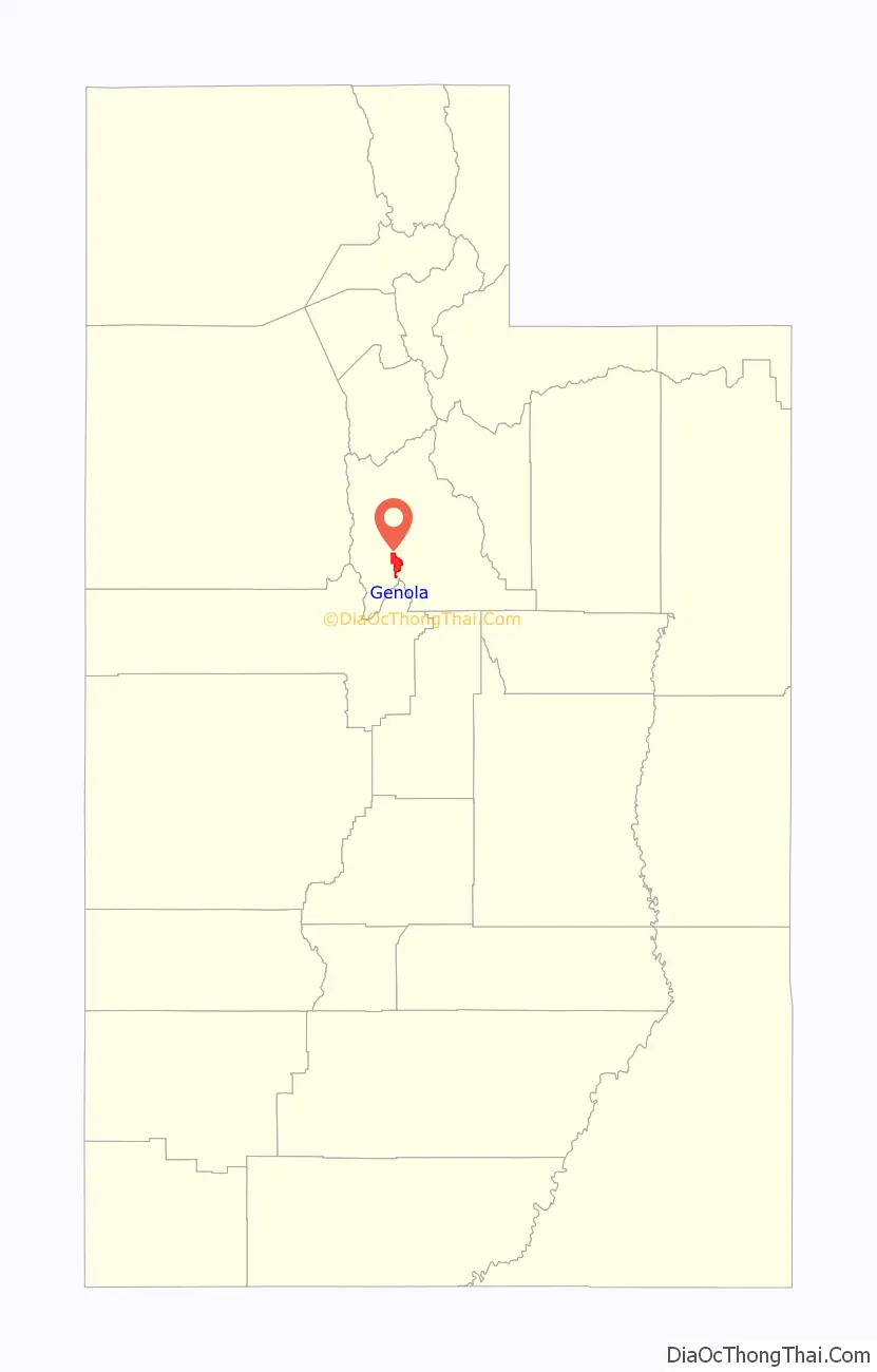
Genola location map. Where is Genola town?
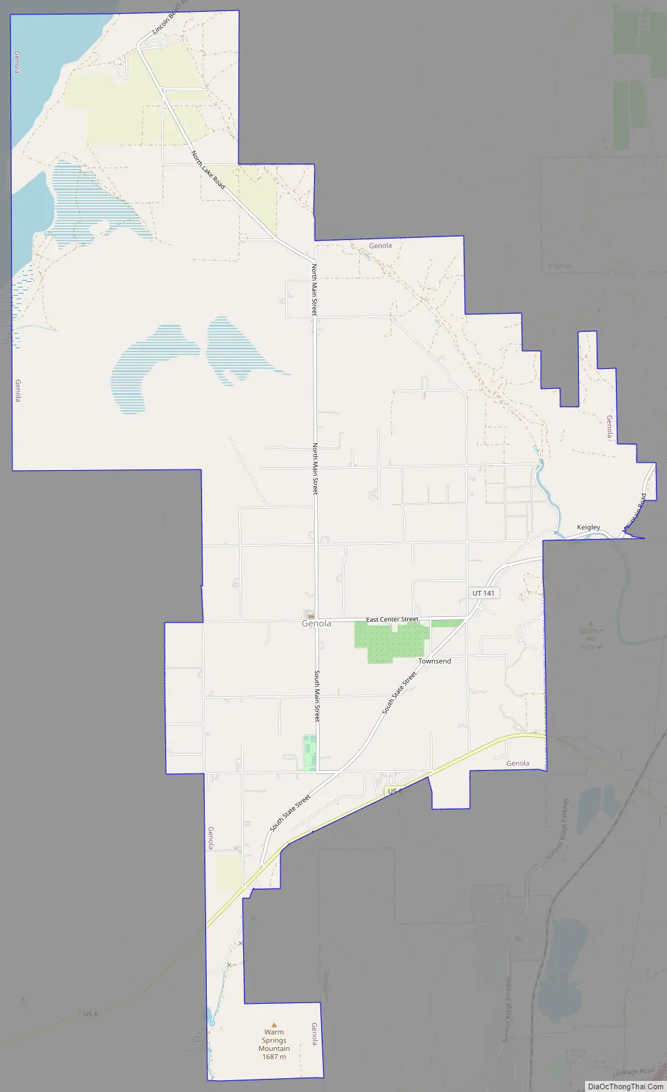
Genola Road Map
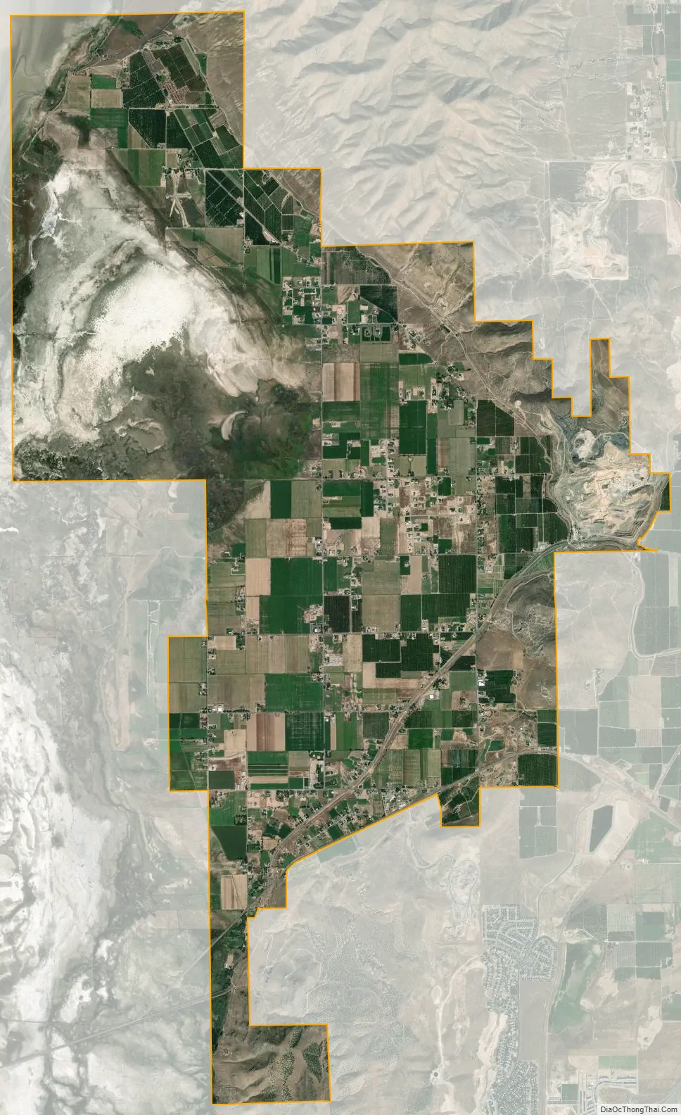
Genola city Satellite Map
Geography
According to the United States Census Bureau, the town has a total area of 13.9 square miles (35.9 km), of which 13.4 square miles (34.8 km) is land and 0.42 square miles (1.1 km), or 3.10%, is water.
The town is located in the northeast Goshen Valley; Santaquin is adjacent to the southeast. The former area of Townsend is located within the southeast area of Genola.
See also
Map of Utah State and its subdivision: Map of other states:- Alabama
- Alaska
- Arizona
- Arkansas
- California
- Colorado
- Connecticut
- Delaware
- District of Columbia
- Florida
- Georgia
- Hawaii
- Idaho
- Illinois
- Indiana
- Iowa
- Kansas
- Kentucky
- Louisiana
- Maine
- Maryland
- Massachusetts
- Michigan
- Minnesota
- Mississippi
- Missouri
- Montana
- Nebraska
- Nevada
- New Hampshire
- New Jersey
- New Mexico
- New York
- North Carolina
- North Dakota
- Ohio
- Oklahoma
- Oregon
- Pennsylvania
- Rhode Island
- South Carolina
- South Dakota
- Tennessee
- Texas
- Utah
- Vermont
- Virginia
- Washington
- West Virginia
- Wisconsin
- Wyoming


