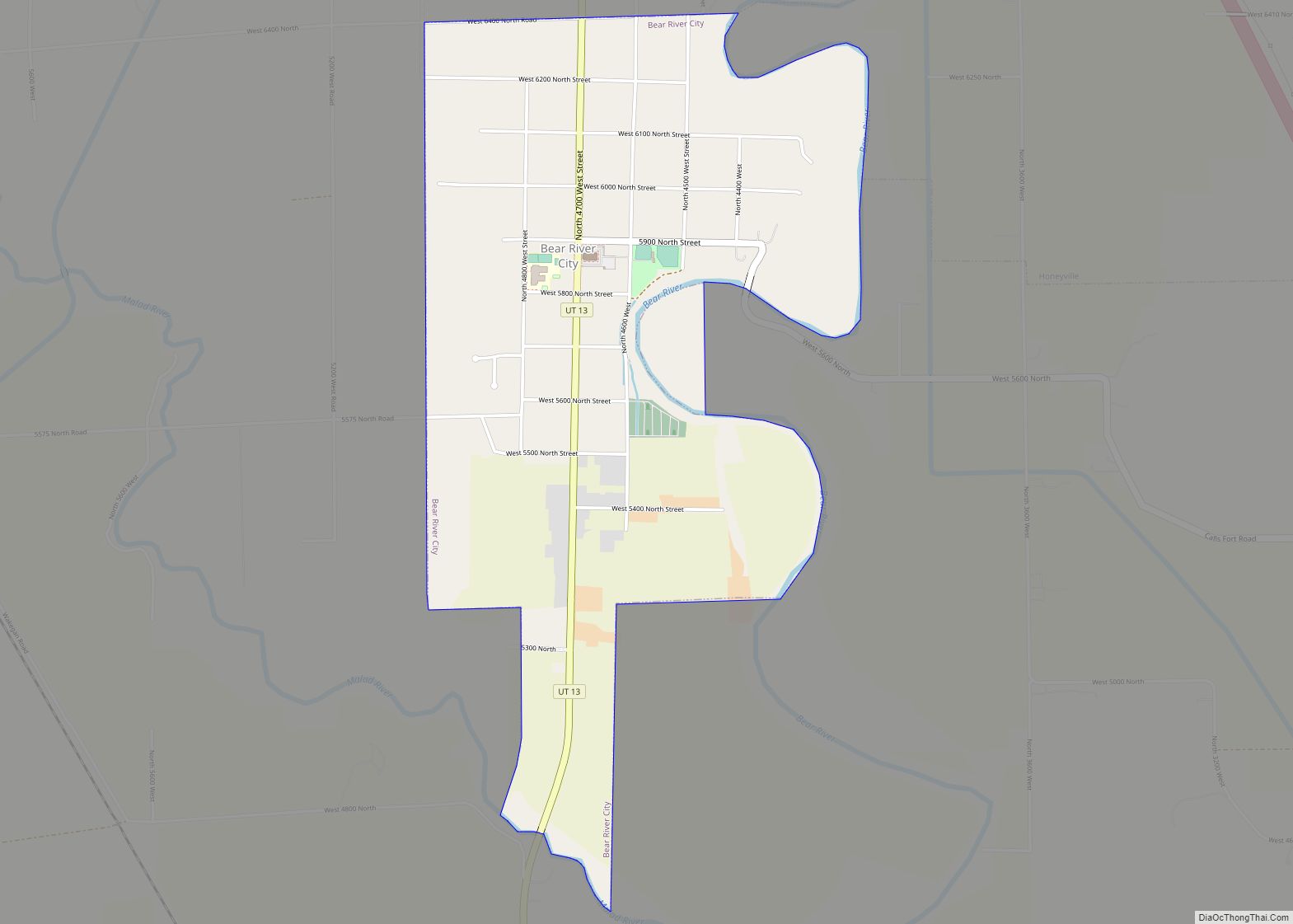
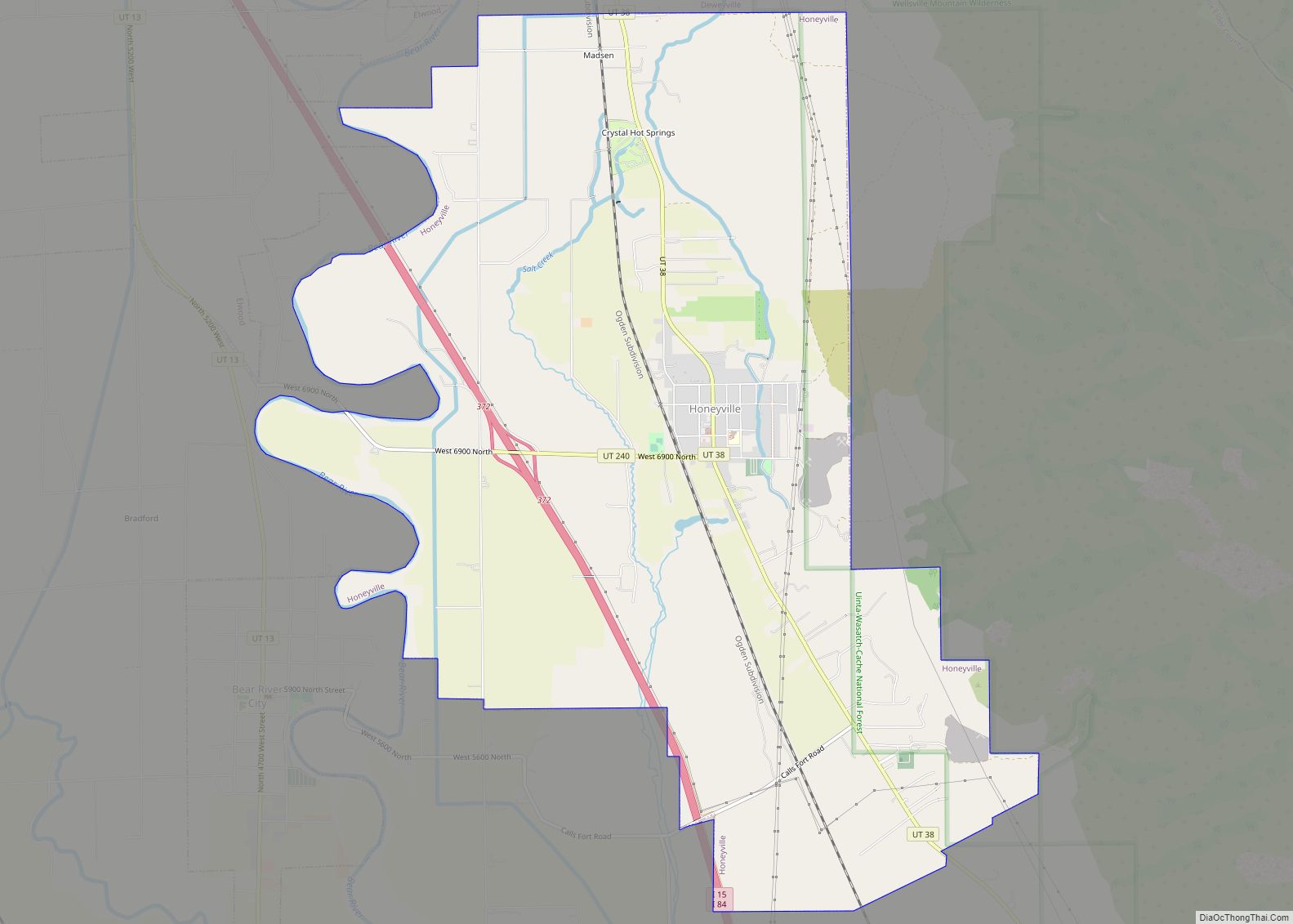
Honeyville is a city near the eastern edge of Box Elder County, Utah, United States. The population was 1,441 at the 2010 census.
| Name: | Honeyville city |
|---|---|
| LSAD Code: | 25 |
| LSAD Description: | city (suffix) |
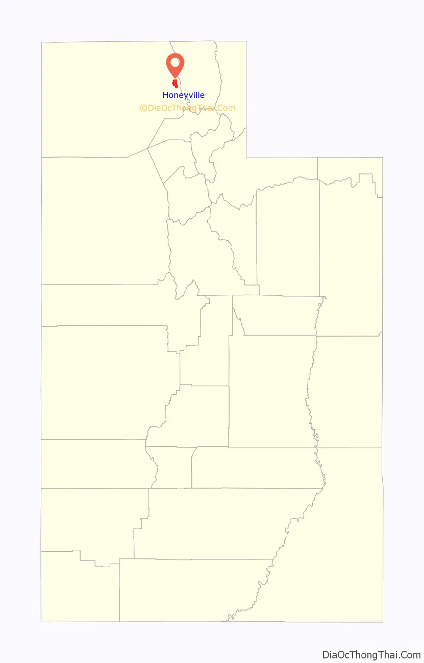
| State: | Utah |
| County: | Box Elder County |
| Incorporated: | July 8, 1911 |
| Elevation: | 4,298 ft (1,310 m) |
| Total Area: | 11.74 sq mi (30.42 km²) |
| Land Area: | 11.74 sq mi (30.42 km²) |
| Water Area: | 0.00 sq mi (0.00 km²) |
| Total Population: | 1,441 |
| Population Density: | 139.99/sq mi (54.05/km²) |
| ZIP code: | 84314 |
| Area code: | 435 |
| FIPS code: | 4936290 |
| GNISfeature ID: | 1428800 |
| Website: | www.honeyvillecity.org |
Online Interactive Map
Click on ![]() to view map in "full screen" mode.
to view map in "full screen" mode.
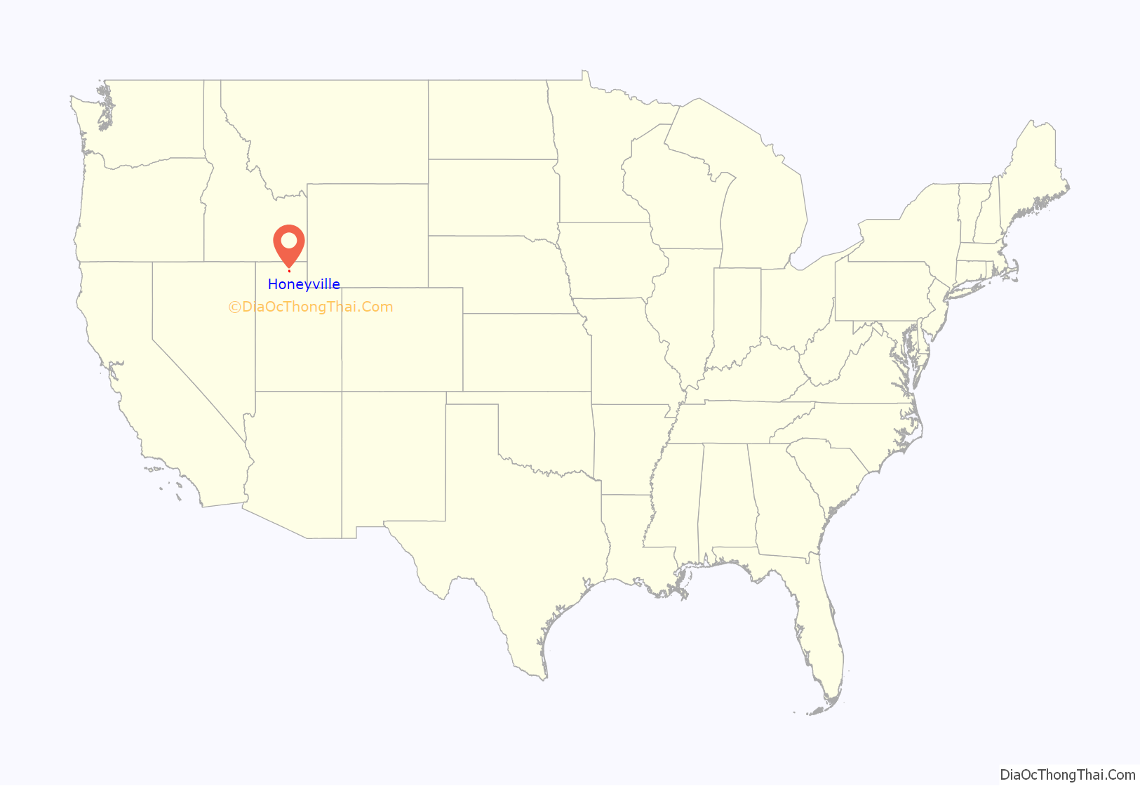
Honeyville location map. Where is Honeyville city?
History
Honeyville was first established in 1861 when a ferry was put across the Bear River at this location. In that same year Anson Call built a sawmill in Honeyville. He later sold the mill to Abraham Hunsaker. The place was known as Hunsaker’s Mill until it was organized as an LDS ward named Honeyville in 1877. Hunsaker was the branch president at Hunsaker’s Mill and then the bishop of the Honeyville Ward until 1889.
Honeyville Road Map
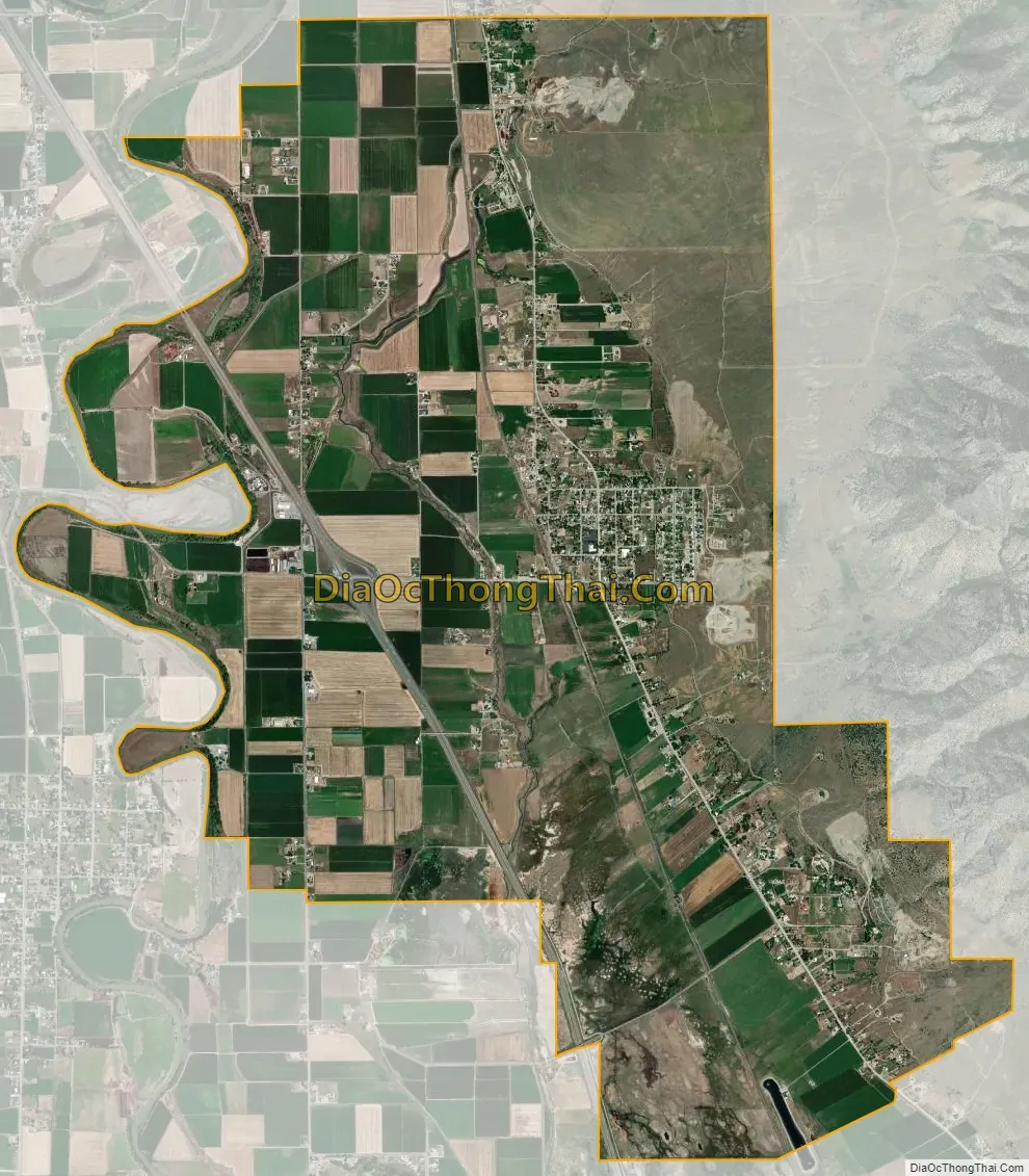
Honeyville city Satellite Map
Geography
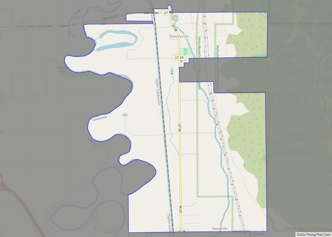
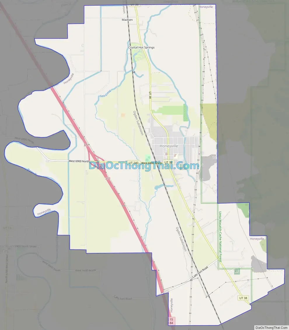
Honeyville is located in eastern Box Elder County and is bordered by Deweyville to the north, by the Bear River to the west, by Calls Fort to the south, and by the Rocky Mountains to the east.
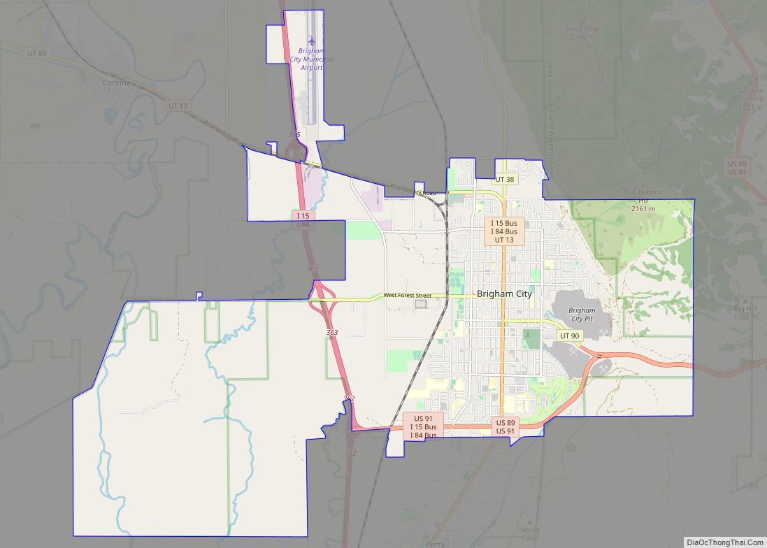
Interstate highways 15 and 84 run through the western side of the city, with access from Exit 372. Ogden is 28 miles (45 km) to the south.
According to the United States Census Bureau, Honeyville has a total area of 11.8 square miles (30.6 km), all land.
See also
Map of Utah State and its subdivision: Map of other states:- Alabama
- Alaska
- Arizona
- Arkansas
- California
- Colorado
- Connecticut
- Delaware
- District of Columbia
- Florida
- Georgia
- Hawaii
- Idaho
- Illinois
- Indiana
- Iowa
- Kansas
- Kentucky
- Louisiana
- Maine
- Maryland
- Massachusetts
- Michigan
- Minnesota
- Mississippi
- Missouri
- Montana
- Nebraska
- Nevada
- New Hampshire
- New Jersey
- New Mexico
- New York
- North Carolina
- North Dakota
- Ohio
- Oklahoma
- Oregon
- Pennsylvania
- Rhode Island
- South Carolina
- South Dakota
- Tennessee
- Texas
- Utah
- Vermont
- Virginia
- Washington
- West Virginia
- Wisconsin
- Wyoming