Neola is a census-designated place (CDP) in Duchesne County, Utah, United States. The population was 461 at the 2010 census. Neola was established in 1912.
| Name: | Neola CDP |
|---|---|
| LSAD Code: | 57 |
| LSAD Description: | CDP (suffix) |
| State: | Utah |
| County: | Duchesne County |
| Elevation: | 6,020 ft (1,835 m) |
| Total Area: | 3.78 sq mi (9.78 km²) |
| Land Area: | 3.77 sq mi (9.77 km²) |
| Water Area: | 0.004 sq mi (0.01 km²) |
| Total Population: | 461 |
| Population Density: | 122/sq mi (47.2/km²) |
| ZIP code: | 84053 |
| Area code: | 435 |
| FIPS code: | 4954110 |
| GNISfeature ID: | 1430684 |
Online Interactive Map
Click on ![]() to view map in "full screen" mode.
to view map in "full screen" mode.
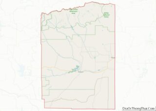
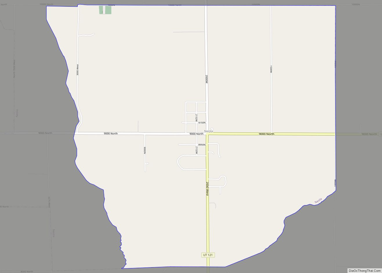
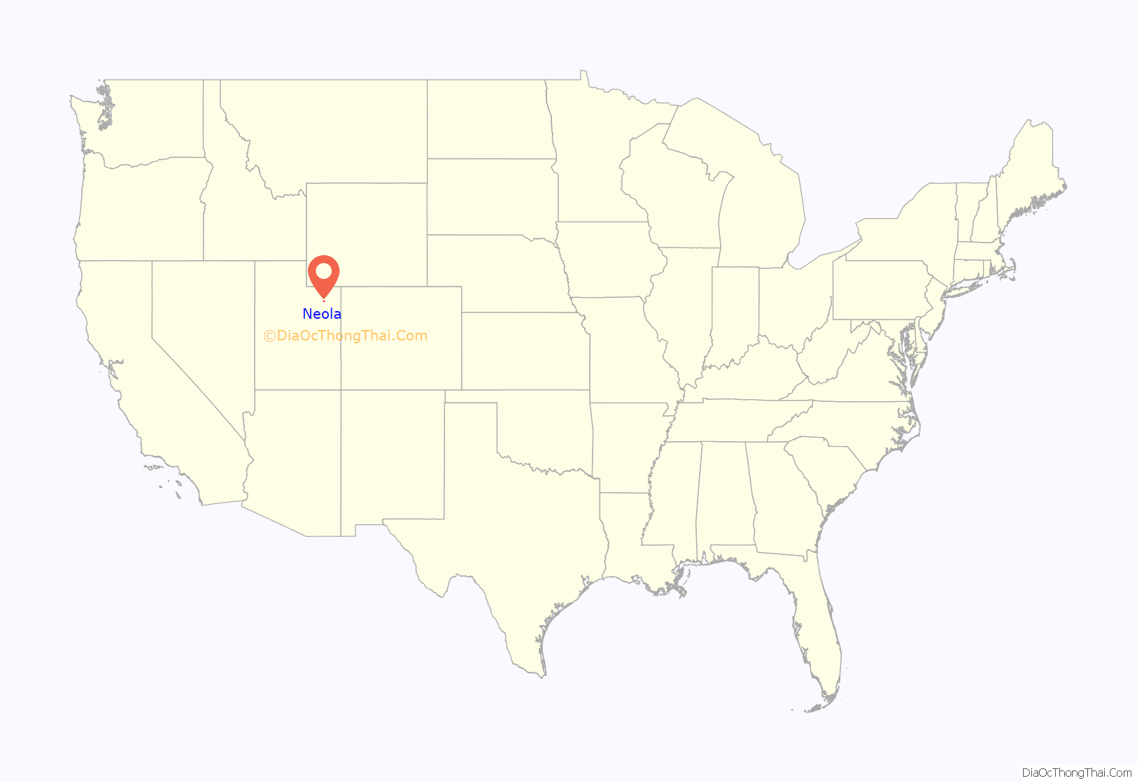
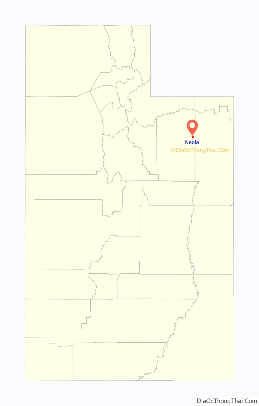
Neola location map. Where is Neola CDP?
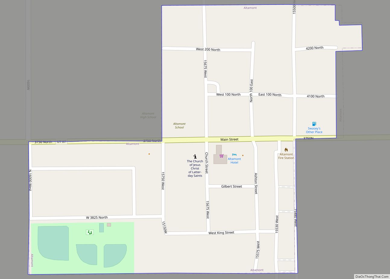
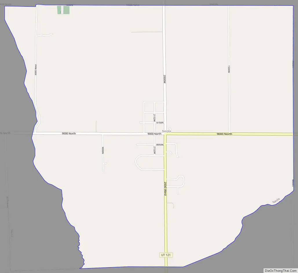
Neola Road Map
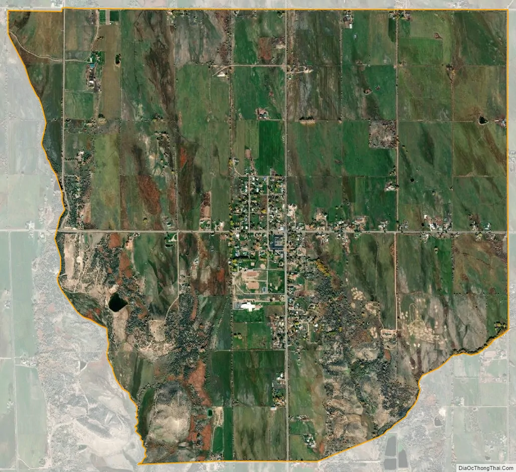
Neola city Satellite Map
Geography
Neola is located in eastern Duchesne County, 10 miles (16 km) north of Roosevelt via Utah State Route 121. According to the United States Census Bureau, the CDP has a total area of 3.8 square miles (9.8 km), of which 0.004 square miles (0.01 km), or 0.13%, is water.
Climate
According to the Köppen Climate Classification system, Neola has a semi-arid climate, abbreviated “BSk” on climate maps.
See also
Map of Utah State and its subdivision: Map of other states:- Alabama
- Alaska
- Arizona
- Arkansas
- California
- Colorado
- Connecticut
- Delaware
- District of Columbia
- Florida
- Georgia
- Hawaii
- Idaho
- Illinois
- Indiana
- Iowa
- Kansas
- Kentucky
- Louisiana
- Maine
- Maryland
- Massachusetts
- Michigan
- Minnesota
- Mississippi
- Missouri
- Montana
- Nebraska
- Nevada
- New Hampshire
- New Jersey
- New Mexico
- New York
- North Carolina
- North Dakota
- Ohio
- Oklahoma
- Oregon
- Pennsylvania
- Rhode Island
- South Carolina
- South Dakota
- Tennessee
- Texas
- Utah
- Vermont
- Virginia
- Washington
- West Virginia
- Wisconsin
- Wyoming