Orangeville is a city in northwestern Emery County, Utah, United States, at the edge of the Manti-La Sal National Forest. The city is at the junction of State Routes 29 and 57, straddling the banks of Cottonwood Creek. The population was 1,470 at the 2010 census.
| Name: | Orangeville city |
|---|---|
| LSAD Code: | 25 |
| LSAD Description: | city (suffix) |
| State: | Utah |
| County: | Emery County |
| Founded: | 1878 |
| Incorporated: | June 6, 1901 |
| Elevation: | 5,778 ft (1,761 m) |
| Total Area: | 1.43 sq mi (3.69 km²) |
| Land Area: | 1.43 sq mi (3.69 km²) |
| Water Area: | 0.00 sq mi (0.00 km²) |
| Total Population: | 1,470 |
| Population Density: | 929.87/sq mi (359.05/km²) |
| ZIP code: | 84537 |
| Area code: | 435 |
| FIPS code: | 4956860 |
| GNISfeature ID: | 1431021 |
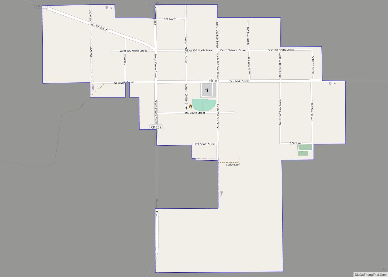
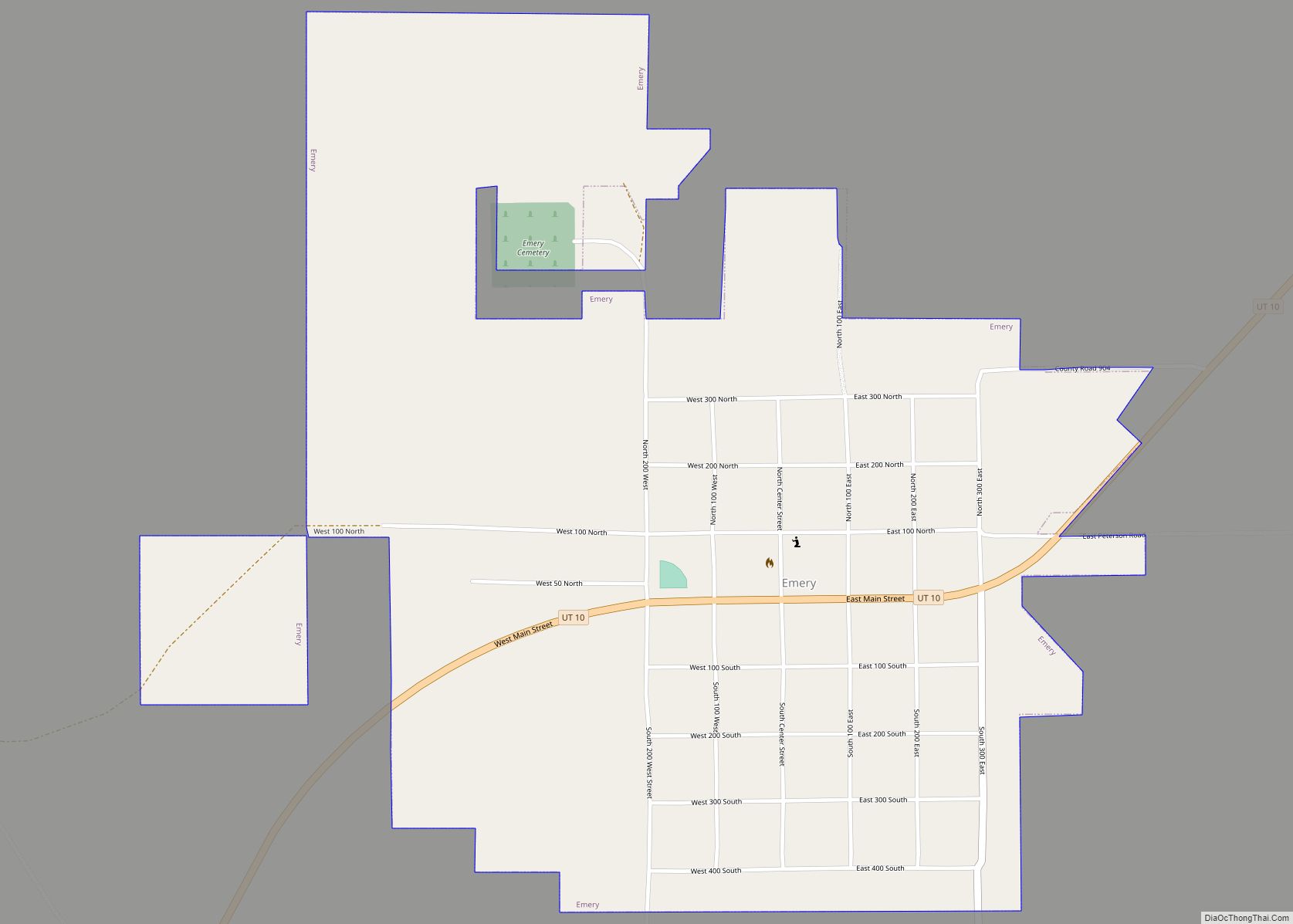
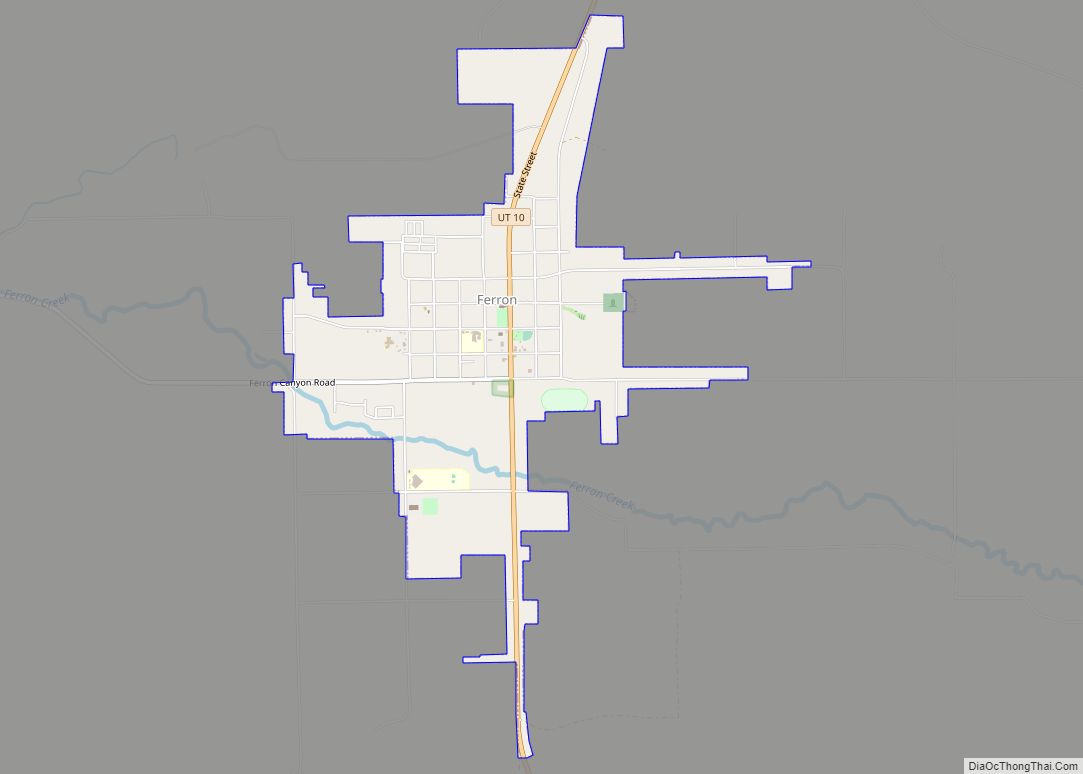
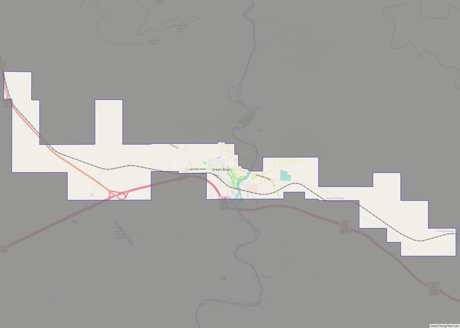
Online Interactive Map
Click on ![]() to view map in "full screen" mode.
to view map in "full screen" mode.
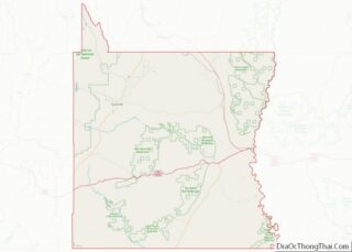
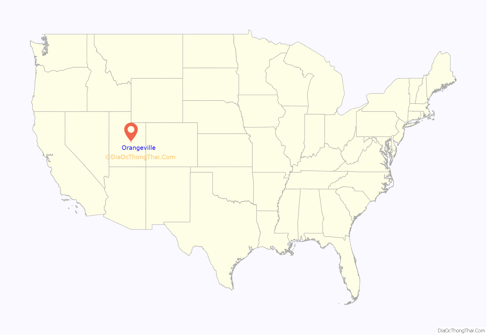
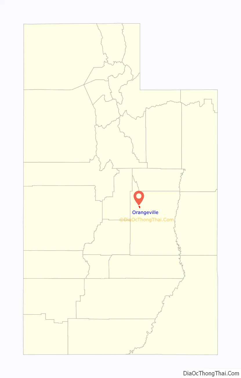
Orangeville location map. Where is Orangeville city?
History
Orangeville was founded in 1878 and was originally known as Upper Castle Dale. In 1879 when a post office was established, it was named Orangeville after Orange Seely, the first man called to settle Castle Valley.
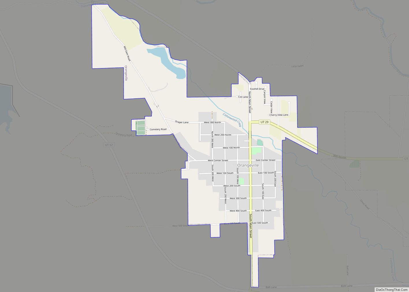
Orangeville Road Map
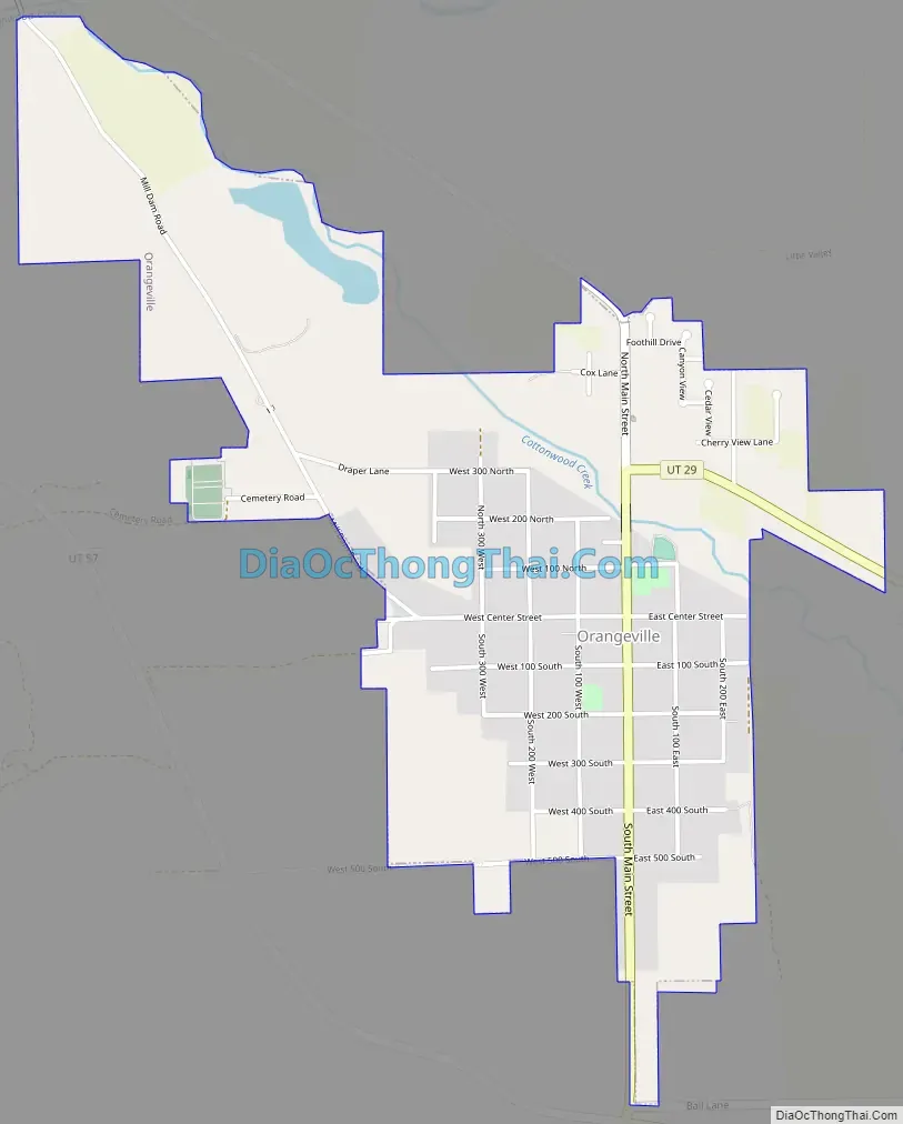
Orangeville city Satellite Map

Geography
Orangeville is 2 miles (3 km) west of Castle Dale, the Emery County seat. According to the United States Census Bureau, the city has a total area of 1.4 square miles (3.5 km), all land.
See also
Map of Utah State and its subdivision: Map of other states:- Alabama
- Alaska
- Arizona
- Arkansas
- California
- Colorado
- Connecticut
- Delaware
- District of Columbia
- Florida
- Georgia
- Hawaii
- Idaho
- Illinois
- Indiana
- Iowa
- Kansas
- Kentucky
- Louisiana
- Maine
- Maryland
- Massachusetts
- Michigan
- Minnesota
- Mississippi
- Missouri
- Montana
- Nebraska
- Nevada
- New Hampshire
- New Jersey
- New Mexico
- New York
- North Carolina
- North Dakota
- Ohio
- Oklahoma
- Oregon
- Pennsylvania
- Rhode Island
- South Carolina
- South Dakota
- Tennessee
- Texas
- Utah
- Vermont
- Virginia
- Washington
- West Virginia
- Wisconsin
- Wyoming