Huntington is a city in northwestern Emery County, Utah, United States. The population was 2,129 at the 2010 census. It is the largest town in Emery County.
| Name: | Huntington city |
|---|---|
| LSAD Code: | 25 |
| LSAD Description: | city (suffix) |
| State: | Utah |
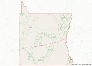
| County: | Emery County |
| Founded: | 1875 |
| Elevation: | 5,787 ft (1,764 m) |
| Total Area: | 2.26 sq mi (5.85 km²) |
| Land Area: | 2.26 sq mi (5.85 km²) |
| Water Area: | 0.00 sq mi (0.00 km²) |
| Total Population: | 2,129 |
| Population Density: | 855.75/sq mi (330.46/km²) |
| ZIP code: | 84528 |
| Area code: | 435 |
| FIPS code: | 4936950 |
| GNISfeature ID: | 1428946 |
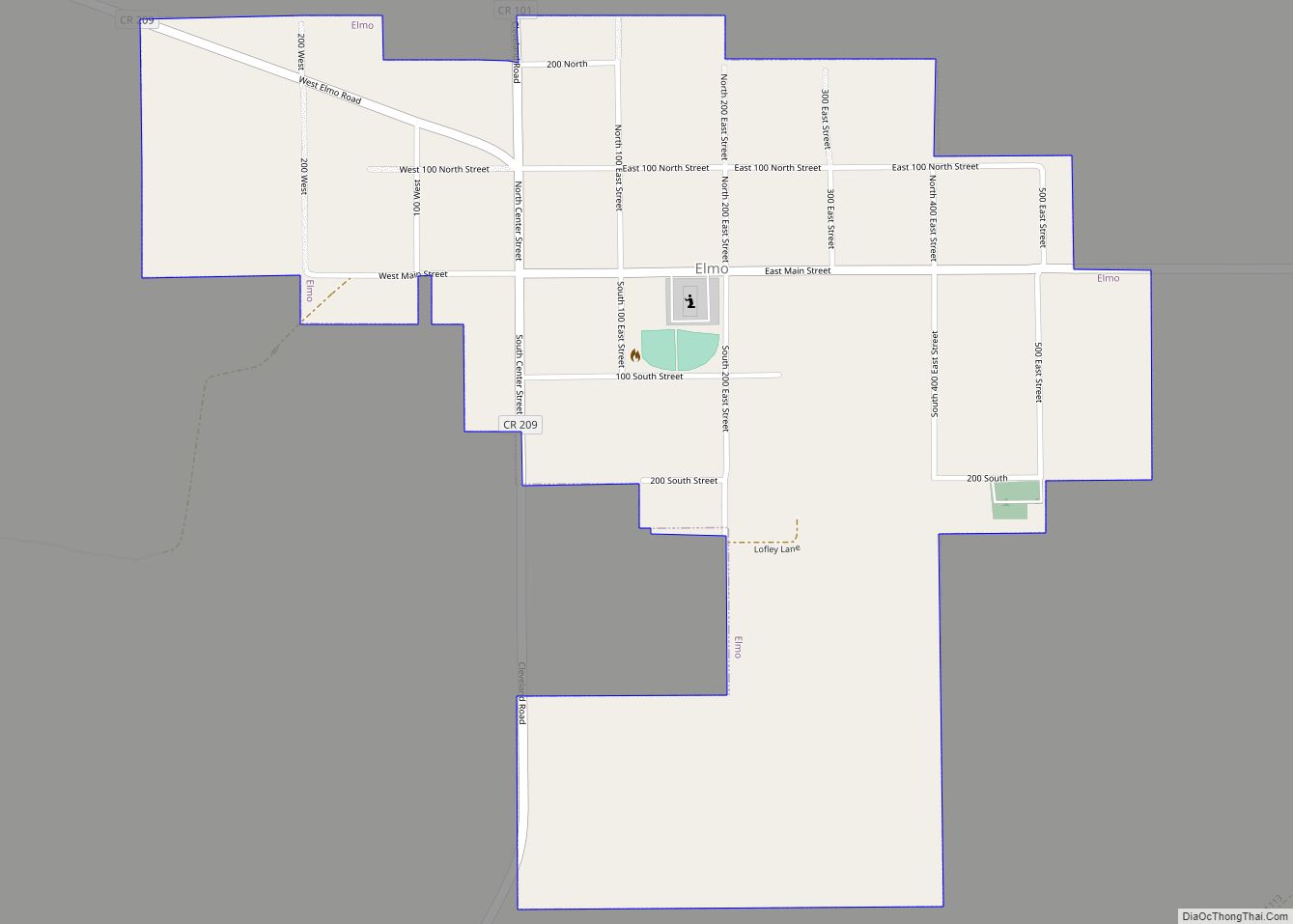
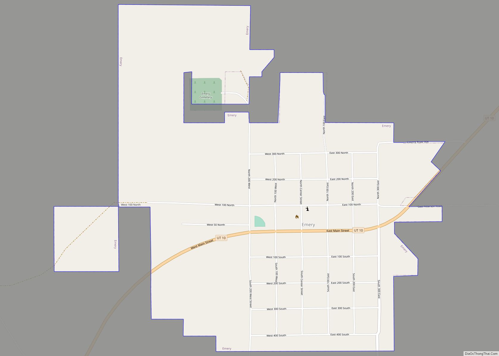
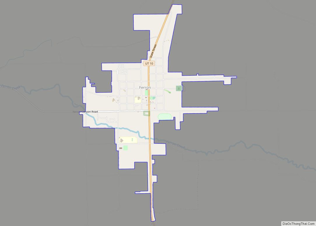
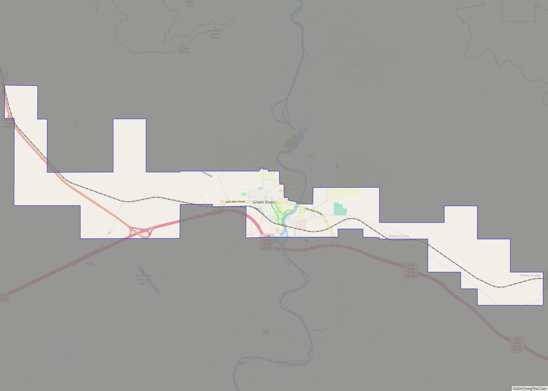
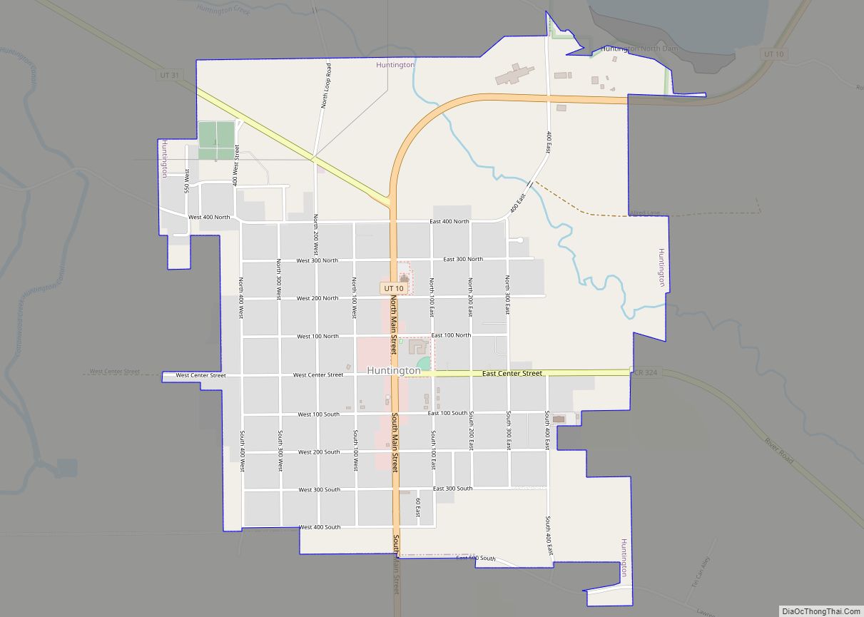
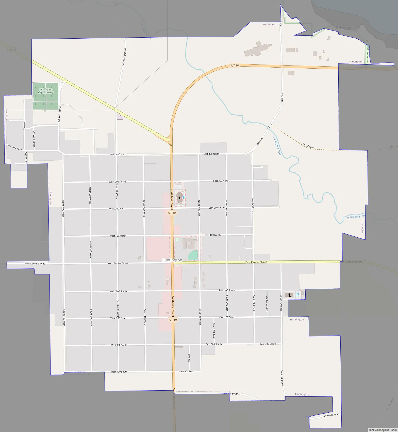
Online Interactive Map
Click on ![]() to view map in "full screen" mode.
to view map in "full screen" mode.
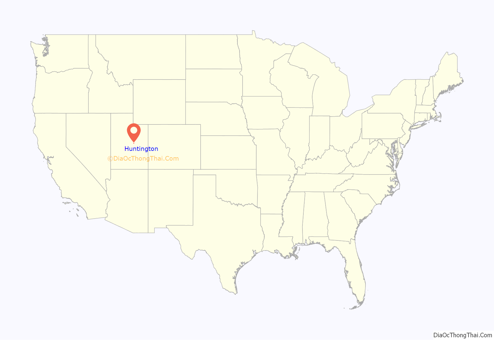
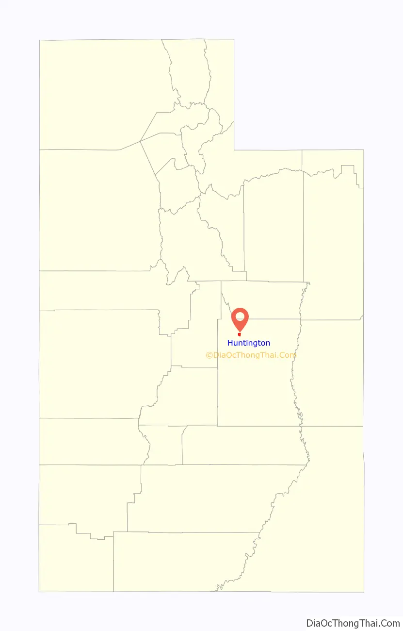
Huntington location map. Where is Huntington city?
History
Huntington is named after Huntington Creek, and the creek was probably named for Huntington brothers (William, Oliver, and Dimick, sons of William Huntington) who led exploring parties into the region during the 1850s. The first settlers of European extraction in the area were four stockmen, Leander Lemmon, James McHadden, Bill Gentry, and Alfred Starr, who brought their herds to Huntington Creek in 1875.
In the fall of 1877, in response to the same call from the Church of Jesus Christ of Latter-day Saints that brought settlers to the other creeks in Castle Valley, a small group from Fairview, Utah, under the leadership of Elias Cox, established a dugout colony on the banks of Huntington Creek and began digging irrigation canals. The colony grew from 126 in 1880 to 738 in 1890 and 1,293 in 1910. A majority of the early settlers came from the Sanpete Valley, which by the late 1870s had outgrown its irrigable land, and many belonged to three or four interrelated kinship groups, making for an abundance of cousins in the community.
In 1880 a mile-square townsite was surveyed on the Prickly Pear Flat, a bench south and west of the creek. The first structure erected on the new townsite was a 40-by-60-foot (12 by 18 m) log meetinghouse, which was completed in time for an all-night New Year’s Eve party on 31 December 1880. Most of the townsite was without water until the completion of the Huntington Canal in 1882. Settlers drew town lots and built homes in town as they proved up on their homesteads. The first homes, some of which were still occupied until recent years, were typically of sawed log or plank construction or of adobe sheathed with lumber. The erection of a new LDS meetinghouse in 1896 inaugurated a twenty-year building boom that saw the completion of many brick homes, schools, and commercial buildings.
Huntington’s early economic base was agriculture and stockraising. Alfalfa seed was an important cash crop around the start of the 20th century, and honey produced by local apiarist Christian Ottesen won first prize at the St. Louis World’s Fair in 1903. For most of its history, however, Huntington has drawn its main income from coal mining. Small “wagon mines” in Huntington Canyon provided limited employment. The coal camp of Mohrland, 8 miles (13 km) to the north, active from about 1909 to 1938, was virtually an extension of Huntington, with many residents dividing the year between the mine and the farm. With the coming of better highways in the 1940s and 1950s, many miners commuted daily from Huntington to Hiawatha and other Carbon County mines.
Its proximity to the regional commercial center of Price, and distance from a major highway, 20 miles (32 km) to the north, has prevented Huntington from developing extensive retail business. However, a flour mill erected in 1892 remained in operation into the 1980s, producing feeds for local farmers and flour and cereals marketed throughout Emery and Carbon counties. Huntington High School, established in 1915 and later renamed North Emery High, was a focal point of the community until the consolidation of Emery County schools in 1962.
From its early years, Huntington has had a strong amateur arts tradition. A martial band was organized in 1884. Community theater groups produced as many as half a dozen plays a year between 1890 and 1910. A choir directed by Thomas L. Hardee and composed of singers from Huntington and neighboring Cleveland won an Eisteddfod competition hosted by the Scofield Welsh Choir in 1895, and later performed at an LDS general conference in Salt Lake City. A men’s glee club organized in the early 1920s is still in existence, with third- and even fourth-generation members.
The 1950 census found 1,442 residents in the Huntington precinct. The population fell by one-third in the next ten years as mining jobs disappeared. This economic decline was reversed in 1972 when construction began on Utah Power and Light Company’s Huntington steam-electric generating plant in the mouth of the canyon. The construction plus development of coal-mining operations to supply the plant gave the town the character of an energy boom town for a few years. Industrial development not only enabled some former residents to return to the community but also attracted new permanent residents, bringing more diversity to the town’s former character as a Mormon farm village. While the community is still predominantly Mormon, the Mission San Rafael was established in 1977 a few miles south of Huntington to serve Catholic families in western Emery County. Baptist, Assembly of God, and nondenominational Protestant religious services have also been held in the community. The 1990 population of Huntington was 1,875.
Mine disaster
On Monday, August 6, 2007, at 2:48 a.m. (MDT), UtahAmerican Energy’s Crandall Canyon Mine, 15 miles (24 km) west northwest of Huntington, collapsed trapping six workers inside. The mine, located just off State Route 31, is about 34 miles (55 km) southeast of Fairview and 140 miles (230 km) south of Salt Lake City (100 miles (160 km) on a flight line). The workers were approximately 3.4 miles (5.5 km) from the mine entrance and 1,500 feet (460 m) underground. The collapse registered recorded seismic waves in magnitude 3.9 to 4.0, by seismograph stations of the University of Utah.
As of August 16, 2007, at about 6:30 p.m. MDT, three rescue workers were killed and six injured, as the tunnel the workers were digging collapsed on top of them, covering them with coal and rubble. The six men who were not killed outright were unable to be rescued after the rescue mission was forced to halt and died as well.
On March 22, 2013, one miner died and another was injured after they became trapped in a cave-in at a part of the Castle Valley Mining Complex, about 10 miles (16 km) west of Huntington.
Huntington Road Map
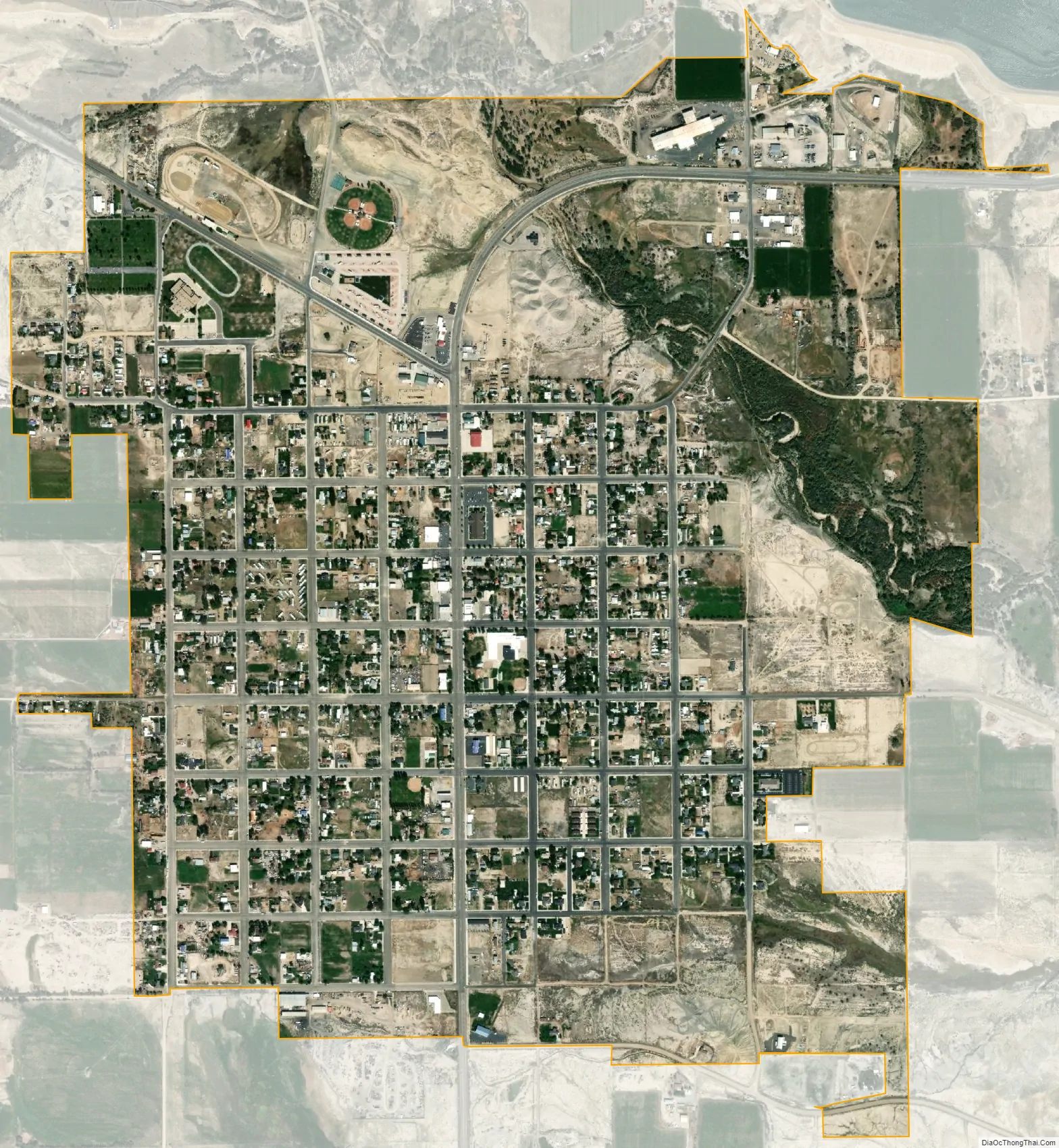
Huntington city Satellite Map
Geography
Huntington is located in northwestern Emery County near the mouth of a long canyon that cuts diagonally into the Wasatch Plateau. According to the United States Census Bureau, Huntington has a total area of 2.0 square miles (5.3 km), all land.
Climate
This climatic region is typified by large seasonal temperature differences, with warm to hot (and often humid) summers and cold (sometimes severely cold) winters. According to the Köppen Climate Classification system, Huntington has a humid continental climate, abbreviated “Dfb” on climate maps.
See also
Map of Utah State and its subdivision: Map of other states:- Alabama
- Alaska
- Arizona
- Arkansas
- California
- Colorado
- Connecticut
- Delaware
- District of Columbia
- Florida
- Georgia
- Hawaii
- Idaho
- Illinois
- Indiana
- Iowa
- Kansas
- Kentucky
- Louisiana
- Maine
- Maryland
- Massachusetts
- Michigan
- Minnesota
- Mississippi
- Missouri
- Montana
- Nebraska
- Nevada
- New Hampshire
- New Jersey
- New Mexico
- New York
- North Carolina
- North Dakota
- Ohio
- Oklahoma
- Oregon
- Pennsylvania
- Rhode Island
- South Carolina
- South Dakota
- Tennessee
- Texas
- Utah
- Vermont
- Virginia
- Washington
- West Virginia
- Wisconsin
- Wyoming