Park City is a city in Utah, United States. The vast majority is in Summit County, and it extends into Wasatch County. It is considered to be part of the Wasatch Back. The city is 32 miles (51 km) southeast of downtown Salt Lake City and 20 miles (32 km) from Salt Lake City’s east edge of Sugar House along Interstate 80. The population was 8,396 at the 2020 census. On average, the tourist population greatly exceeds the number of permanent residents.
After a population decline following the shutdown of the area’s mining industry, the city rebounded during the 1980s and 1990s through an expansion of its tourism business. As of 2021 the city brings in a yearly average of $529.8 million to the Utah Economy as a tourist hot spot, $80 million of which is attributed to the Sundance Film Festival. The city has two major ski resorts: Deer Valley Resort and Park City Mountain Resort (combined with Canyons Village at Park City) and one minor resort: Woodward Park City (an action sports training and fun center). Both Deer Valley and Park City Mountain Resorts were the major locations for ski and snowboarding events at the 2002 Winter Olympics. Although they receive less snow and have a shorter ski season than do their counterparts in Salt Lake County, such as Snowbird resort, they are much easier to access.
In 2015, Park City Ski Resort and Canyons resorts merged, creating the largest ski area in the U.S. In all, the resort boasts 17 slopes, 14 bowls, 300 trails and 22 miles of lifts.
The city is the main location of the United States’ largest independent film festival, the Sundance Film Festival; home of the United States Ski Team; training center for members of the Australian Freestyle Ski Team; the largest collection of factory outlet stores in northern Utah; the 2002 Olympic bobsled/skeleton/luge track at the Utah Olympic Park; and golf courses. Some scenes from the 1994 film Dumb and Dumber were shot in the city. Outdoor-oriented businesses such as backcountry.com, Rossignol USA, and Skullcandy have their headquarters in Park City. The city has many retailers, clubs, bars, and restaurants, and has nearby reservoirs, hot springs, forests, and hiking and biking trails.
In the summertime, many valley residents of the Wasatch Front visit the town to escape high temperatures. Park City is usually cooler than Salt Lake City as it lies mostly higher than 7,000 feet (2,100 m) above sea level, while Salt Lake City is situated at an elevation of about 4,300 feet (1,300 m).
In 2011, the town was awarded a Gold-level Ride Center designation from the International Mountain Bicycling Association for its mountain bike trails, amenities and community.
Park City is served by The Park Record (the oldest continually published non-daily paper in Utah, and one of the oldest in the U.S.), TownLift (online news), and KPCW (a local NPR news/radio affiliate).
| Name: | Park City city |
|---|---|
| LSAD Code: | 25 |
| LSAD Description: | city (suffix) |
| State: | Utah |
| County: | Summit County, Wasatch County |
| Founded: | 1869 |
| Elevation: | 7,000 ft (2,100 m) |
| Total Area: | 19.99 sq mi (51.77 km²) |
| Land Area: | 19.99 sq mi (51.76 km²) |
| Water Area: | 0.00 sq mi (0.01 km²) |
| Total Population: | 8,396 |
| Population Density: | 420.1/sq mi (162.21/km²) |
| Area code: | 435 |
| FIPS code: | 4958070 |
| GNISfeature ID: | 1444206 |
| Website: | www.parkcity.org |
Online Interactive Map
Click on ![]() to view map in "full screen" mode.
to view map in "full screen" mode.
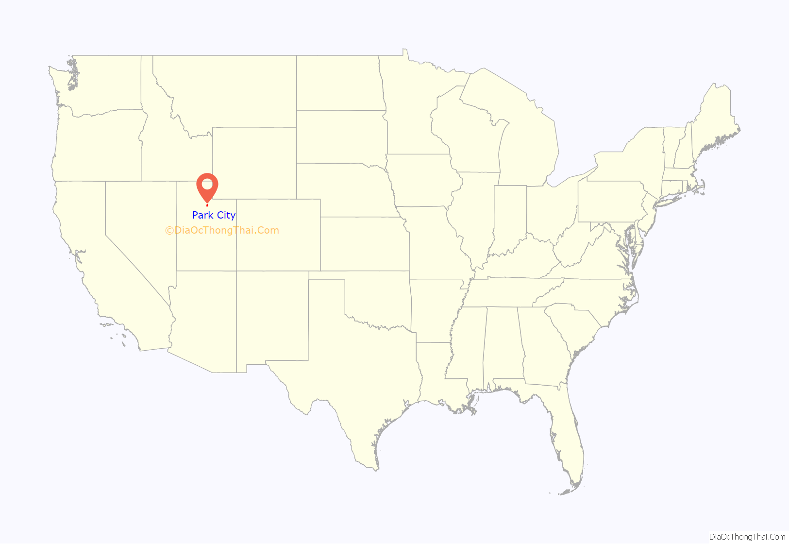
Park City location map. Where is Park City city?
History
The area was traveled by the early Mormon pioneers on their journey to where they settled and built Salt Lake City. One of their leaders, Parley P. Pratt, explored the canyon in 1848. He was given a charter the following year to build a toll road through it, which was finished in 1849. The basin at the top of the canyon was an ideal place to graze, and a few families settled. Early on, the area was deeded to Samuel Snyder, Heber C. Kimball and Jedediah Grant. The settlers named it “Parley’s Park City”, which was shortened to “Park City” upon the town’s incorporation in 1884. The first known discovery of ore in this area was by men serving under Colonel Patrick E. Connor, who invited his men to prospect in the area after having been relocated from Gold Rush-era California. The finding of silver, gold and lead sparked the first silver mines in Park City in the 1860s. Park City’s large mining boom brought large crowds of prospectors setting up camps around the mountain terrain, marking the first mining settlements. Although it was not the first find, the Ontario silver mine, discovered by Herman Buden in 1872 and quickly purchased by George Hearst through his business partner R. C. Chambers, was the first major producer.
Another prominent mining family was that of William Montague Ferry Jr. Ferry Moved to Utah from West Michigan already a very wealthy man. He had previously been a Colonel in the Union Army, mayor of Grand Haven, and was son of wealthy businessman William Montague Ferry. Ferry was followed by a group of other wealthy Michiganders (including his brother Edward Payson Ferry) who came to be the social elites of the town. The Ferry family owned numerous mines including the Marsac Silver mining Company and the Silver King Coalition Mines. Col Ferry also donated the land for Westminster College and unsuccessfully ran for governor of Utah. Edward Ferry’s son W. Mont Ferry was mayor of Salt Lake City.
In 1880, a spur line was established to the Echo station of the First transcontinental railroad. By 1892 the Silver King Mine and its owners Thomas Kearns and David Keith took the spotlight as one of the most famous silver mines in the world. While silver mines were doing well in Utah, other mines around the world were not doing as well, which drew many of these miners to Park City. The town flourished with crowds of miners and wealth, but by the 1950s, the town nearly became a ghost town. This was due in part to a drop in the price of silver.
The town was nearly destroyed by fire in 1898. Another accident occurred in 1902 when 34 miners were killed in an explosion in the Daly West Mine.
The transformation of Park City into a ski destination town is primarily attributed to declining silver and metal prices during and following World War I, the Great Depression, and World War 2. The mining community never fully recovered and so the town turned to skiing. The silver industry was suffering when ‘Parkite’ miners presented to Utahns Inc. a proposal for a ski resort called Treasure Mountain. United Park City Mines, who owned the land the resort would be built on, received a land-redevelopment grant from the John F. Kennedy Administration. Treasure Mountains (now Park City Mountain Resort) opened in 1963 on 10,000 acres (40 km) of land the miners owned with mineral rights. This is said to be when tourists first largely began to visit Park City. This marks the beginning of the ski industry largely promoted by the Utah State Legislation as a destination resort.
Since the rise of the skiing and tourist economy, Park City houses more tourists than residents. It has become a place of fame through the 2002 Winter Olympic Games and provides more attractions than ever before. In the 1950s, Utah began to use Park City as a mountain getaway, and not until D. James Canon promoted winter sports in Utah, with the promotional scheme of “Ski Utah” and “The Greatest Snow on Earth” did many drive to see the city. Utah drew in over 648,000 tourists in 1970 and now a yearly average of 4 million tourists. In a town with a population of 8,000, the average number of tourists in Park City is 600,000 per year. This significant increase in visitors could be credited to promotional material that is distributed by the Utah Publicity and Tourist Council. Growth has accelerated in the last few decades, and Park City is now one of the most affluent resort towns in the United States.
According to the Bureau of Economic and Business Research, in 2012 travel, tourism and recreation generated $7.4 billion in spending and $960.6 million in state and local tax revenue for the State of Utah. That same year Utah’s total gross domestic product was $128 billion, making tourism 5.8% of GDP for the Utah economy as a whole. Park City draws in 3,006,071 average annual visitors; in the winter 1,603,775, and in the summer 1,402,296. Park City benefits from the average nightly visitor spending $100 to $350. Currently, Park City primarily relies on its tourist industry from skiing to restaurants to hiking and biking. The makeover of Park City has stimulated a culture of expenditure, adventure, wealth, and this is included in their promotional material.
To this day, there are still more than 1,000 miles (1,600 km) of old silver-mine workings and tunnels beneath the slopes at Park City Mountain Resort and neighboring Deer Valley. On Main Street, 64 Victorian buildings are listed in the National Register of Historic Places. There are many remaining mine buildings, mine shafts (most blocked off from outsiders with large steel doors), and hoists, including the weathered remains of the California-Comstock and Silver King Mines and the water towers once used to hydrate one of the biggest mines, the Silver King, provide some history of this mining town transformed into a skiing resort.
Park City Road Map
Park City city Satellite Map
Geography
According to the United States Census Bureau, the city has a total area of 17.567 square miles (45.50 km), all land.
Park City is located at the south end of Snyderville Basin and climbs steep mountains to the southeast, south, and west. It is accessed by State Route 224 from Interstate 80 to the north and State Route 248 (Kearns Boulevard), which heads east to U.S. Route 40 and on to Kamas.
Climate
Summers in Park City are warm with cool nights, while winters are cold and snowy. The city has a humid continental climate (Köppen Dfb), though higher elevations within city limits may experience a subalpine (Dfc) or alpine (ET) climate.
See also
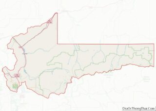
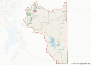
Map of Utah State and its subdivision: Map of other states:- Alabama
- Alaska
- Arizona
- Arkansas
- California
- Colorado
- Connecticut
- Delaware
- District of Columbia
- Florida
- Georgia
- Hawaii
- Idaho
- Illinois
- Indiana
- Iowa
- Kansas
- Kentucky
- Louisiana
- Maine
- Maryland
- Massachusetts
- Michigan
- Minnesota
- Mississippi
- Missouri
- Montana
- Nebraska
- Nevada
- New Hampshire
- New Jersey
- New Mexico
- New York
- North Carolina
- North Dakota
- Ohio
- Oklahoma
- Oregon
- Pennsylvania
- Rhode Island
- South Carolina
- South Dakota
- Tennessee
- Texas
- Utah
- Vermont
- Virginia
- Washington
- West Virginia
- Wisconsin
- Wyoming
