Santaquin (/ˈsæntəkwɪn/ SAN-tə-kwin) is a city in Utah and Juab counties in the U.S. state of Utah. It is part of the Provo–Orem metropolitan area. The population was 13,725 at the 2020 census.
| Name: | Santaquin city |
|---|---|
| LSAD Code: | 25 |
| LSAD Description: | city (suffix) |
| State: | Utah |
| County: | Juab County, Utah County |
| Incorporated: | 1890s (town) 1932 (city) |
| Elevation: | 4,971 ft (1,515 m) |
| Total Area: | 10.44 sq mi (27.05 km²) |
| Land Area: | 10.44 sq mi (27.05 km²) |
| Water Area: | 0.00 sq mi (0.00 km²) |
| Total Population: | 13,725 |
| Population Density: | 1,314.66/sq mi (507.39/km²) |
| ZIP code: | 84655 |
| Area code: | 385, 801 |
| FIPS code: | 4967770 |
| GNISfeature ID: | 1445329 |
| Website: | www.santaquin.org |
Online Interactive Map
Click on ![]() to view map in "full screen" mode.
to view map in "full screen" mode.
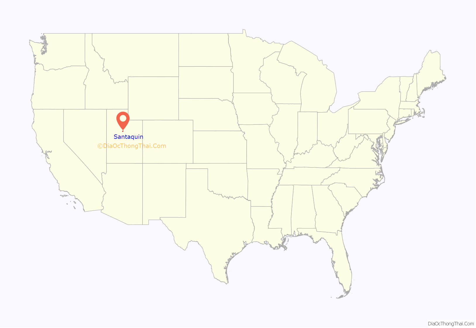
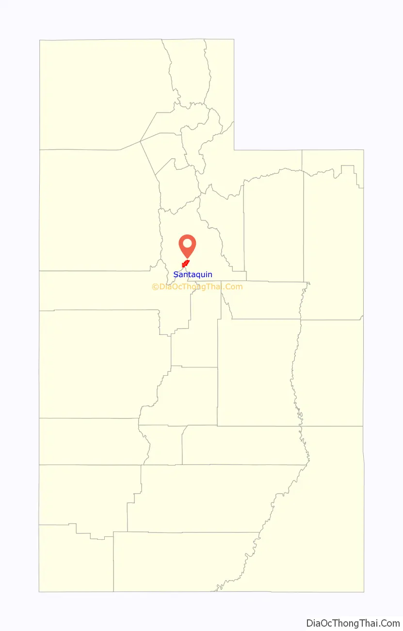
Santaquin location map. Where is Santaquin city?
History
Santaquin, one of the early settlements along the Salt Lake Road, was originally settled in late 1851. It was originally named Summit City because of its location near the summit of the divide between Utah Valley and Juab Valley. Summit City was settled by pioneers who were helping settle nearby Payson to the north. In 1856 it was renamed “Santaquin” for the son of Guffich, a local native chieftain friendly to the settlers. Santaquin incorporated as a town in the 1890s and changed to a city effective January 4, 1932.
Santaquin Road Map
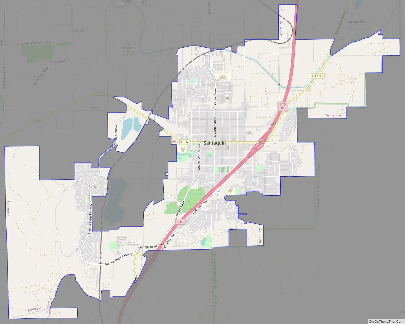
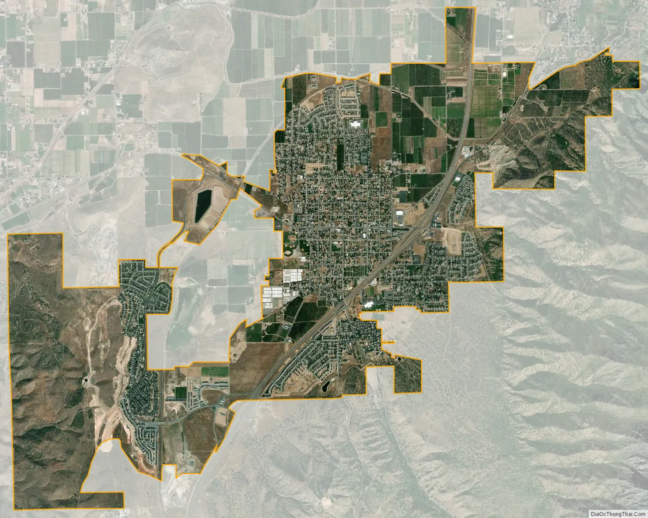
Santaquin city Satellite Map
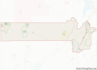
Geography
Santaquin lies southeast of Utah Lake in southern Utah County, with a small portion extending south into Juab County. It is bordered to the northwest by Genola and to the north by unincorporated Spring Lake. Interstate 15 passes through the city, with access from Exits 242 and 244. I-15 leads north 21 miles (34 km) to Provo and south 19 miles (31 km) to Nephi. U.S. Route 6 passes through Santaquin as Main Street and leads west 24 miles (39 km) to Silver City. Utah State Route 198 leads north from I-15 5 miles (8 km) to Payson.
According to the United States Census Bureau, Santaquin has a total area of 10.4 square miles (26.9 km), of which 0.3 acres (1,204 m), or 0.01%, are water.
Climate
This climatic region is typified by large seasonal temperature differences, with hot summers and cold (sometimes severely cold) winters. According to the Köppen Climate Classification system, Santaquin has a humid continental climate, abbreviated “Dfa” on climate maps.
See also
Map of Utah State and its subdivision: Map of other states:- Alabama
- Alaska
- Arizona
- Arkansas
- California
- Colorado
- Connecticut
- Delaware
- District of Columbia
- Florida
- Georgia
- Hawaii
- Idaho
- Illinois
- Indiana
- Iowa
- Kansas
- Kentucky
- Louisiana
- Maine
- Maryland
- Massachusetts
- Michigan
- Minnesota
- Mississippi
- Missouri
- Montana
- Nebraska
- Nevada
- New Hampshire
- New Jersey
- New Mexico
- New York
- North Carolina
- North Dakota
- Ohio
- Oklahoma
- Oregon
- Pennsylvania
- Rhode Island
- South Carolina
- South Dakota
- Tennessee
- Texas
- Utah
- Vermont
- Virginia
- Washington
- West Virginia
- Wisconsin
- Wyoming