Spring Lake is a census-designated place (CDP) in southern Utah County, Utah, United States. It is part of the Provo–Orem Metropolitan Statistical Area. The population was 458 at the 2010 census. It is an unincorporated part of Utah County, located just south of Payson and north of Santaquin.
| Name: | Spring Lake CDP |
|---|---|
| LSAD Code: | 57 |
| LSAD Description: | CDP (suffix) |
| State: | Utah |
| County: | Utah County |
| Elevation: | 4,731 ft (1,442 m) |
| Total Area: | 1.2 sq mi (3.1 km²) |
| Land Area: | 1.2 sq mi (3.1 km²) |
| Water Area: | 0.0 sq mi (0.0 km²) |
| Total Population: | 458 |
| Population Density: | 380/sq mi (150/km²) |
| ZIP code: | 84651 |
| Area code: | 801 |
| FIPS code: | 4972170 |
| GNISfeature ID: | 1446051 |
Online Interactive Map
Click on ![]() to view map in "full screen" mode.
to view map in "full screen" mode.
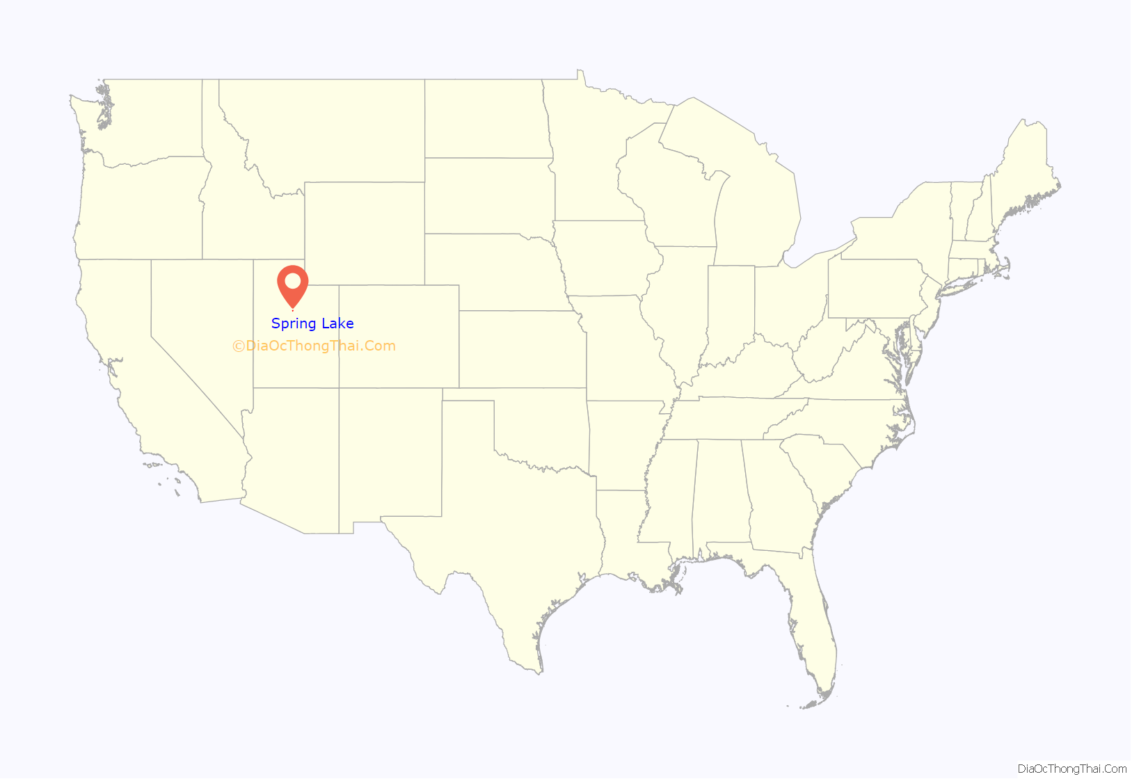
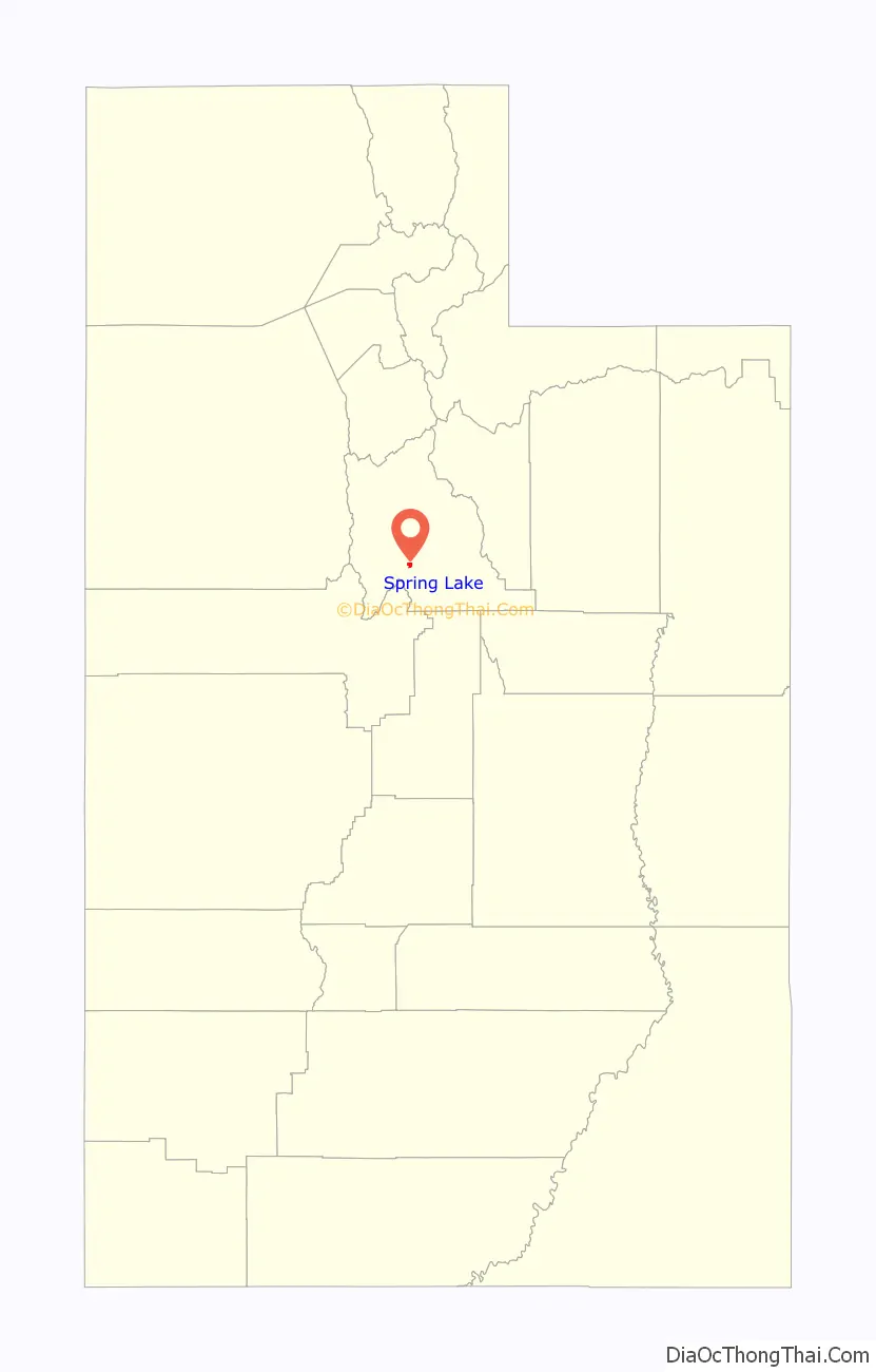
Spring Lake location map. Where is Spring Lake CDP?
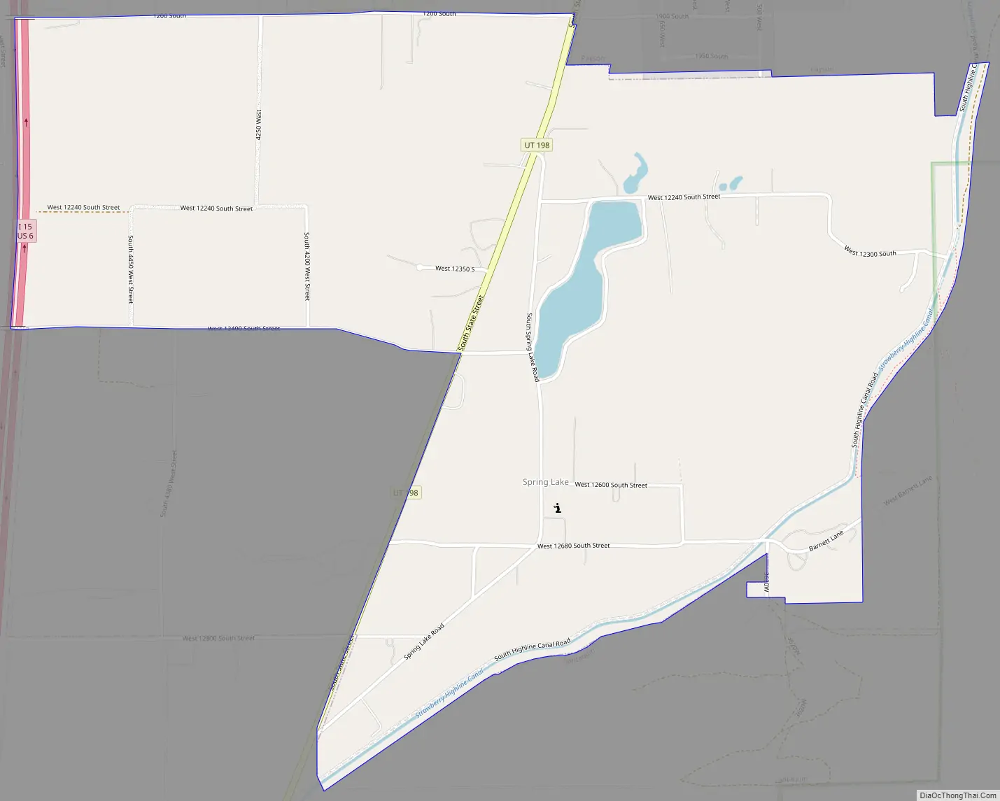
Spring Lake Road Map
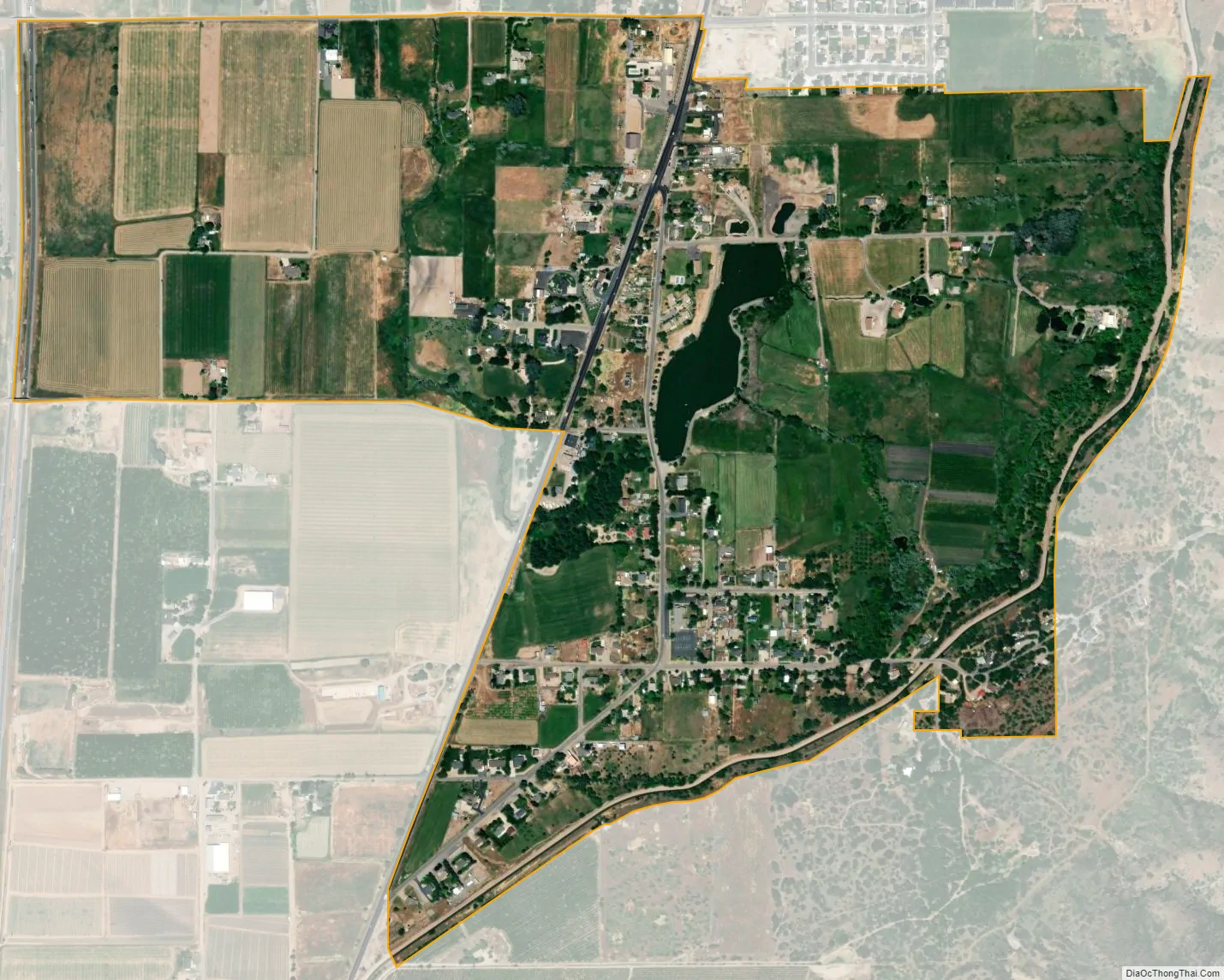
Spring Lake city Satellite Map
Geography
According to the United States Census Bureau, the CDP has a total area of 1.2 square miles (3.1 km), of which 1.2 square miles (3.1 km) is land and 0.012 square miles (0.03 km), or 0.91%, is water.
Spring Lake is at approximately 4,700 feet (1,400 m) above sea level. The small lake of the same name is only a few feet deep under normal conditions, but in the spring of 2006 the lake was drained in order to dredge it and make it deeper. It was then refilled in the fall of 2006 and now contains trout.
See also
Map of Utah State and its subdivision: Map of other states:- Alabama
- Alaska
- Arizona
- Arkansas
- California
- Colorado
- Connecticut
- Delaware
- District of Columbia
- Florida
- Georgia
- Hawaii
- Idaho
- Illinois
- Indiana
- Iowa
- Kansas
- Kentucky
- Louisiana
- Maine
- Maryland
- Massachusetts
- Michigan
- Minnesota
- Mississippi
- Missouri
- Montana
- Nebraska
- Nevada
- New Hampshire
- New Jersey
- New Mexico
- New York
- North Carolina
- North Dakota
- Ohio
- Oklahoma
- Oregon
- Pennsylvania
- Rhode Island
- South Carolina
- South Dakota
- Tennessee
- Texas
- Utah
- Vermont
- Virginia
- Washington
- West Virginia
- Wisconsin
- Wyoming


