Thatcher is a census-designated place in Box Elder County, Utah, United States. It is a small farming community, located 3 miles (5 km) southwest of Bothwell and 7 miles (11 km) west of Tremonton. The population was 789 at the 2010 census.
The community was named for Moses Thatcher, an apostle for the Church of Jesus Christ of Latter-day Saints. Thatcher was first settled in 1890.
Thatcher Mountain, 2 miles (3 km) to the west, is named after the community.
| Name: | Thatcher CDP |
|---|---|
| LSAD Code: | 57 |
| LSAD Description: | CDP (suffix) |
| State: | Utah |
| County: | Box Elder County |
| Elevation: | 5,003 ft (1,525 m) |
| Total Area: | 11.7 sq mi (30.3 km²) |
| Land Area: | 11.7 sq mi (30.3 km²) |
| Water Area: | 0.0 sq mi (0.0 km²) |
| Total Population: | 789 |
| Population Density: | 67/sq mi (26.0/km²) |
| ZIP code: | 84337 |
| Area code: | 435 |
| FIPS code: | 4975800 |
| GNISfeature ID: | 2584779 |
Online Interactive Map
Click on ![]() to view map in "full screen" mode.
to view map in "full screen" mode.
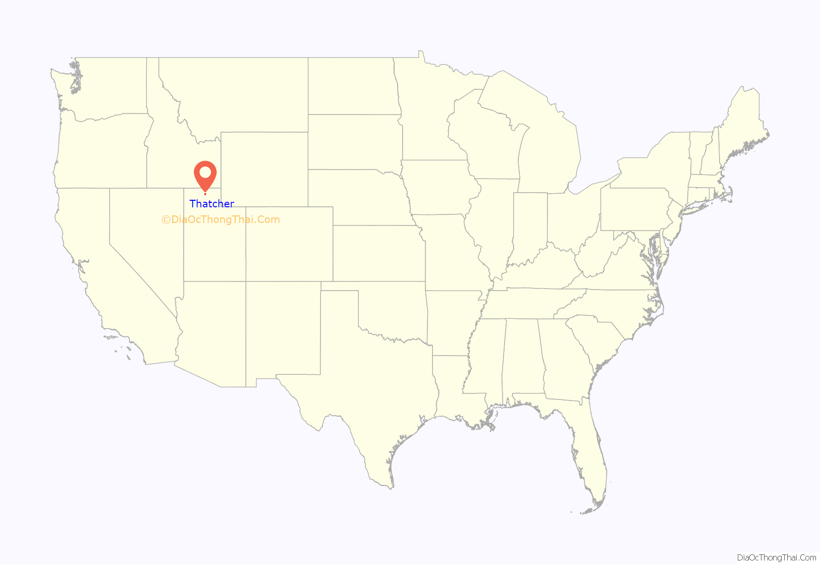
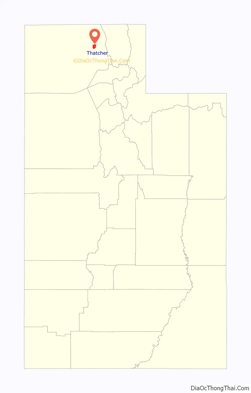
Thatcher location map. Where is Thatcher CDP?
Thatcher Road Map
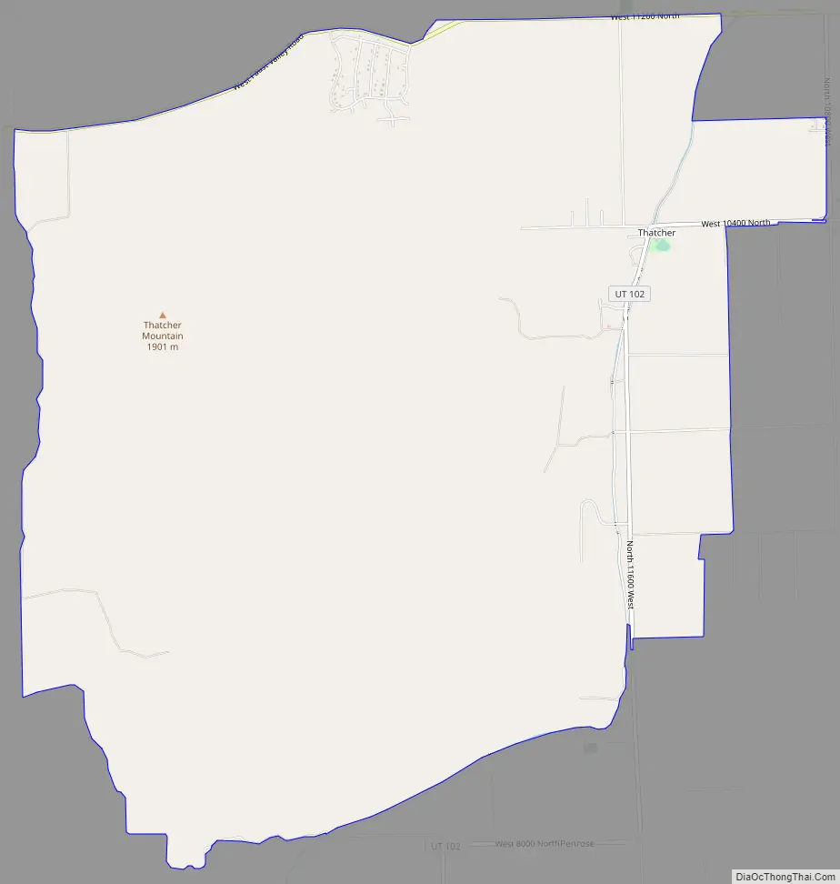
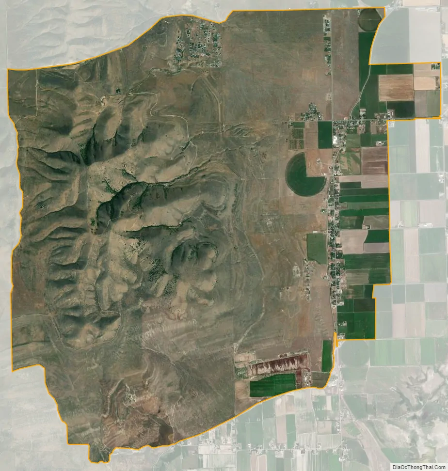
Thatcher city Satellite Map
See also
Map of Utah State and its subdivision: Map of other states:- Alabama
- Alaska
- Arizona
- Arkansas
- California
- Colorado
- Connecticut
- Delaware
- District of Columbia
- Florida
- Georgia
- Hawaii
- Idaho
- Illinois
- Indiana
- Iowa
- Kansas
- Kentucky
- Louisiana
- Maine
- Maryland
- Massachusetts
- Michigan
- Minnesota
- Mississippi
- Missouri
- Montana
- Nebraska
- Nevada
- New Hampshire
- New Jersey
- New Mexico
- New York
- North Carolina
- North Dakota
- Ohio
- Oklahoma
- Oregon
- Pennsylvania
- Rhode Island
- South Carolina
- South Dakota
- Tennessee
- Texas
- Utah
- Vermont
- Virginia
- Washington
- West Virginia
- Wisconsin
- Wyoming