Vernon is a town in southeastern Tooele County, Utah, United States.
| Name: | Vernon town |
|---|---|
| LSAD Code: | 43 |
| LSAD Description: | town (suffix) |
| State: | Utah |
| County: | Tooele County |
| Elevation: | 5,515 ft (1,681 m) |
| Total Area: | 8.06 sq mi (20.88 km²) |
| Land Area: | 8.06 sq mi (20.88 km²) |
| Water Area: | 0.00 sq mi (0.00 km²) |
| Total Population: | 243 |
| Population Density: | 44.16/sq mi (17.05/km²) |
| ZIP code: | 84080 |
| Area code: | 435 |
| FIPS code: | 4980200 |
| GNISfeature ID: | 1446932 |
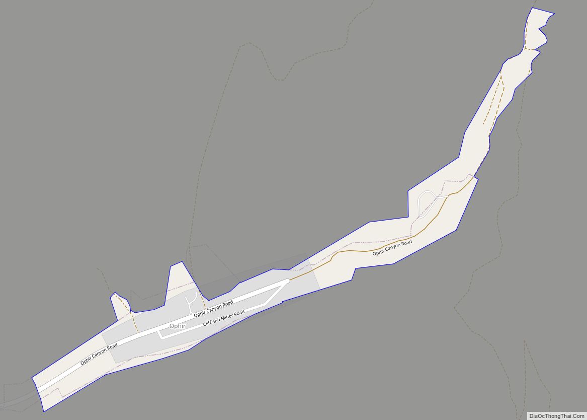
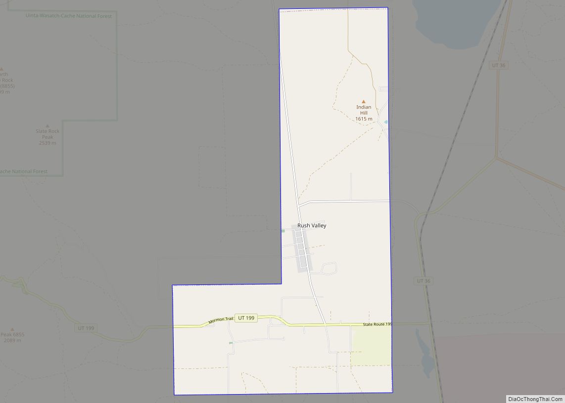
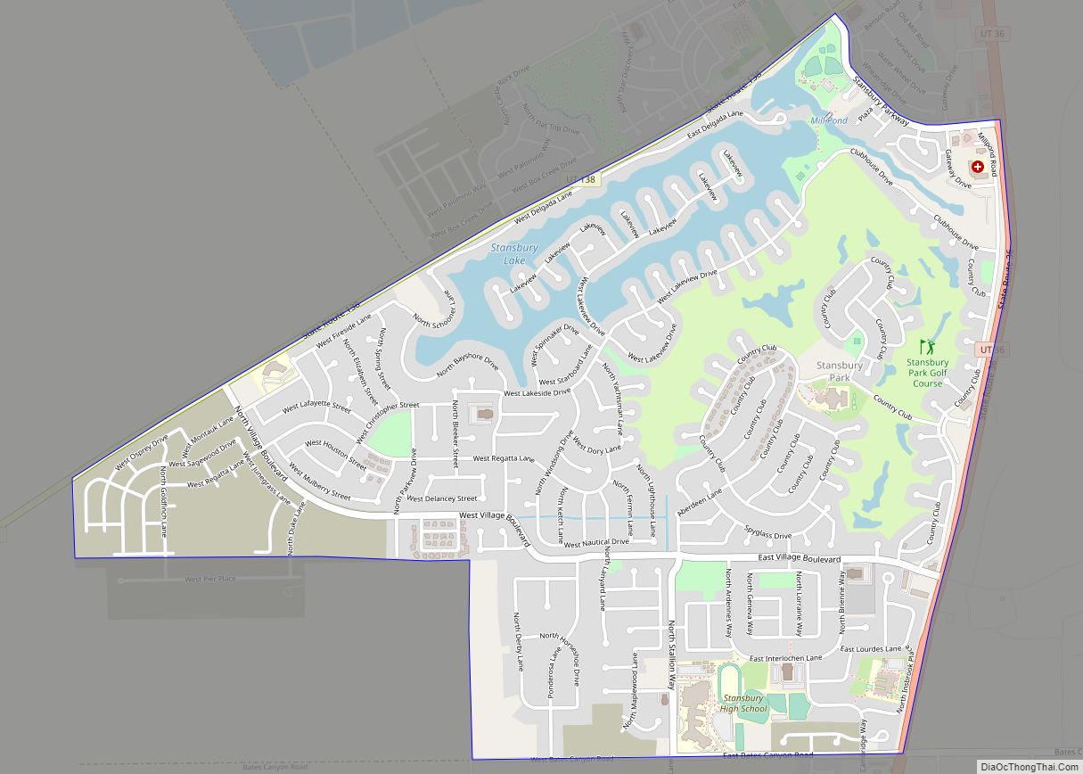
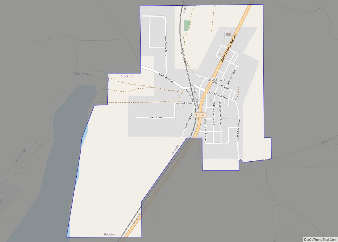
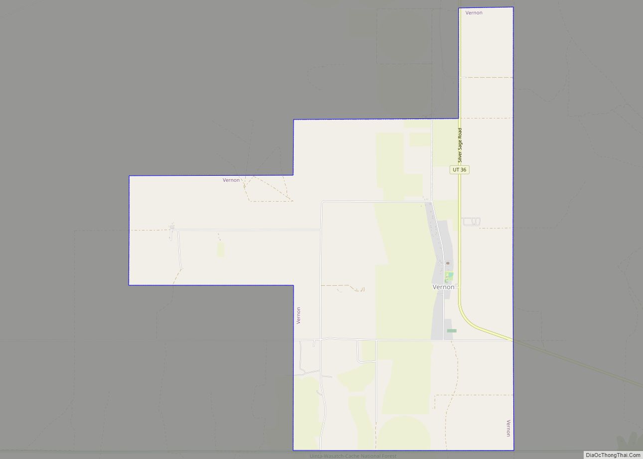
Online Interactive Map
Click on ![]() to view map in "full screen" mode.
to view map in "full screen" mode.
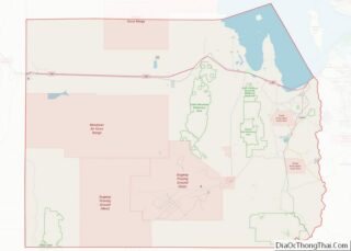
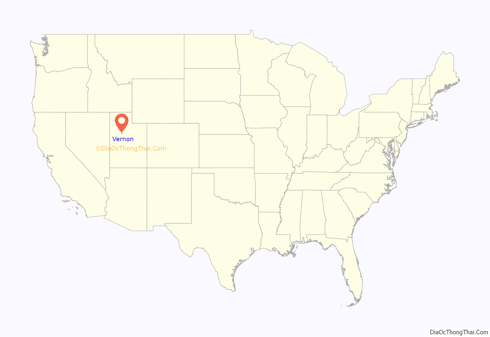
Vernon location map. Where is Vernon town?

History
The Vernon area was settled beginning in 1857. The community has the name of Joseph Vernon, a pioneer settler. In 1934, a very large incorporated town called Onaqui was created in the area, including Vernon as well as the settlements of Clover and St. John. Vernon was far from the rest of Onaqui, and locals always looked on it as somewhat independent. Vernon residents were granted a petition to incorporate separately on February 22, 1972, and the remaining part of Onaqui was renamed Rush Valley.
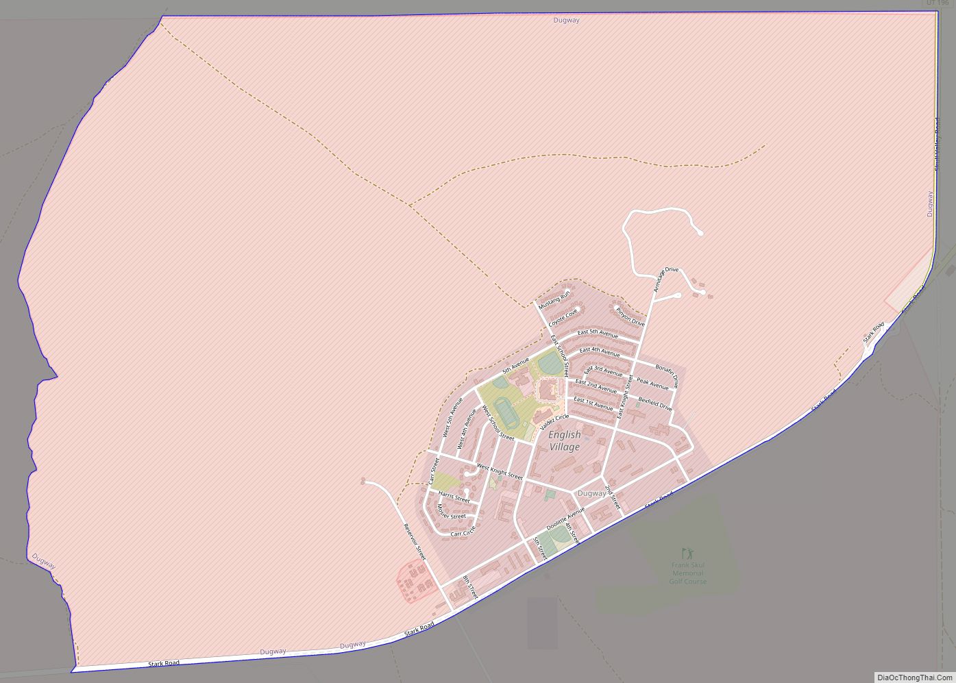
Vernon Road Map
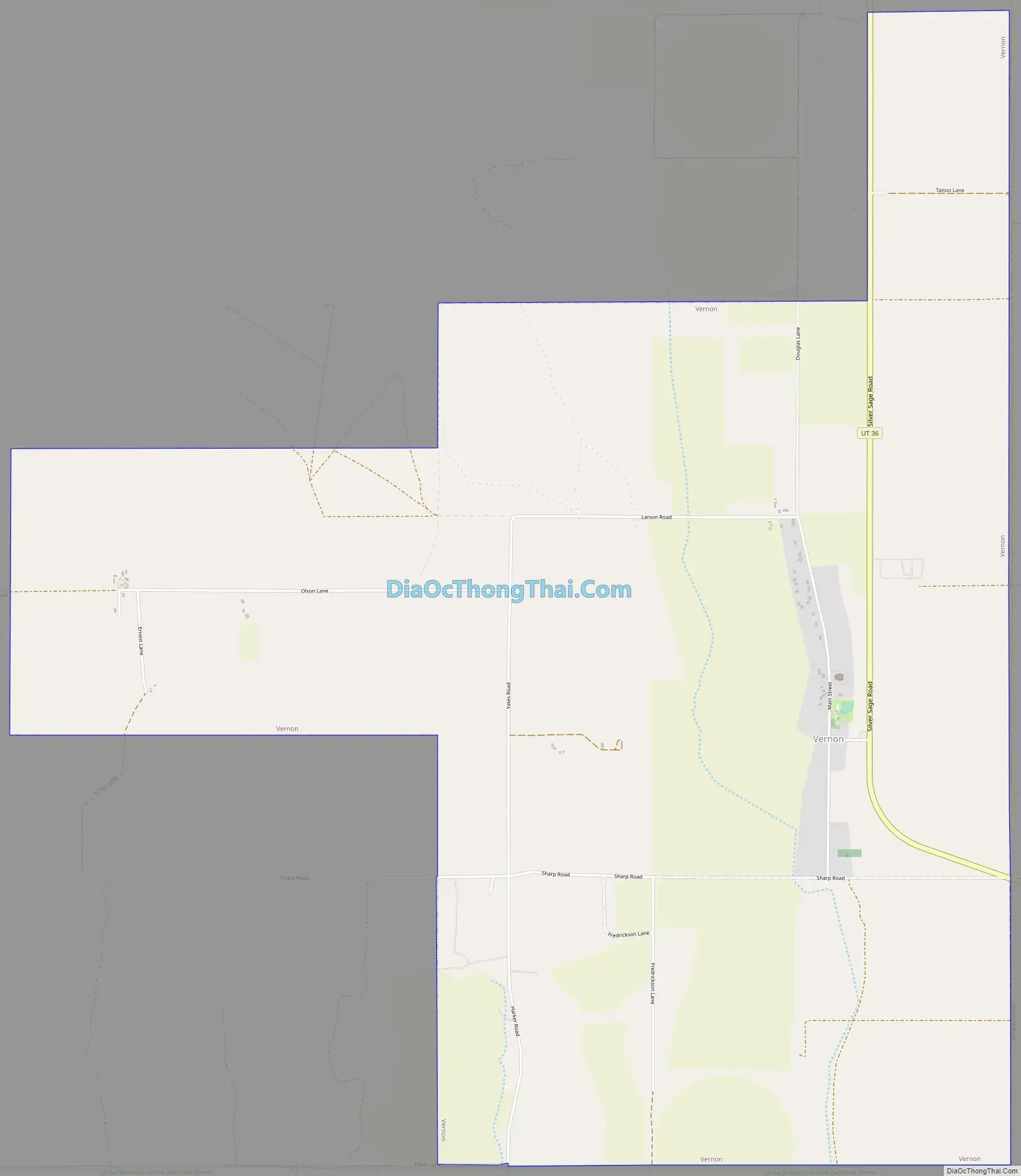
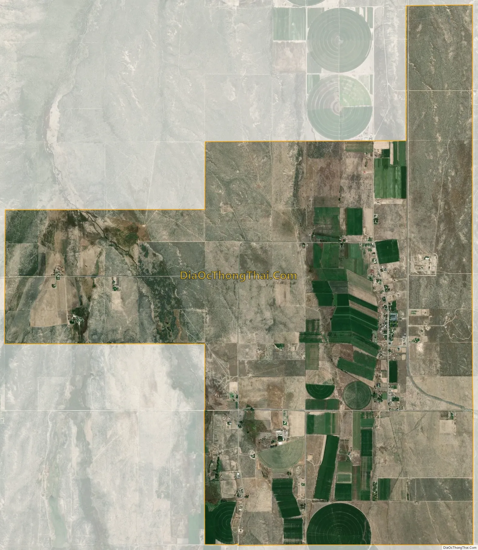
Vernon city Satellite Map
Geography
According to the United States Census Bureau, the town has a total area of 7.5 square miles (19 km), all land.
Climate
The climate in this area is characterized by hot, humid summers and generally mild to cool winters. According to the Köppen Climate Classification system, Vernon has a hot-summer mediterranean continental climate, abbreviated “Dsa” on climate maps. The hottest temperature recorded in Vernon was 106 °F (41.1 °C) on July 13, 2002, and June 24, 2007, while the coldest temperature recorded was −26 °F (−32.2 °C) on December 23, 1990.
See also
Map of Utah State and its subdivision: Map of other states:- Alabama
- Alaska
- Arizona
- Arkansas
- California
- Colorado
- Connecticut
- Delaware
- District of Columbia
- Florida
- Georgia
- Hawaii
- Idaho
- Illinois
- Indiana
- Iowa
- Kansas
- Kentucky
- Louisiana
- Maine
- Maryland
- Massachusetts
- Michigan
- Minnesota
- Mississippi
- Missouri
- Montana
- Nebraska
- Nevada
- New Hampshire
- New Jersey
- New Mexico
- New York
- North Carolina
- North Dakota
- Ohio
- Oklahoma
- Oregon
- Pennsylvania
- Rhode Island
- South Carolina
- South Dakota
- Tennessee
- Texas
- Utah
- Vermont
- Virginia
- Washington
- West Virginia
- Wisconsin
- Wyoming