Addy is an unincorporated community and census-designated place in Stevens County, Washington, United States. It is located on the Colville River (Washington) and U.S. Route 395 between Colville to the north and Chewelah to the south.
| Name: | Addy CDP |
|---|---|
| LSAD Code: | 57 |
| LSAD Description: | CDP (suffix) |
| State: | Washington |
| County: | Stevens County |
| Elevation: | 1,640 ft (500 m) |
| ZIP code: | 99101 |
| Area code: | 509 |
| FIPS code: | 5300380 |
| GNISfeature ID: | 1515727 |
Online Interactive Map
Click on ![]() to view map in "full screen" mode.
to view map in "full screen" mode.
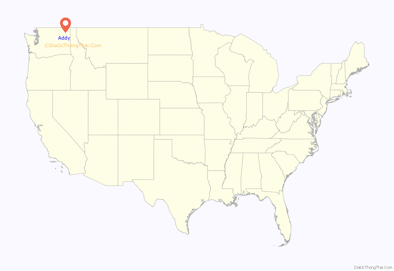
Addy location map. Where is Addy CDP?
History
Addy was first settled in 1851 by Magnus Flett, a Hudson’s Bay Company (HBC) employee, after he retired to the Addy area. Thomas Stensgar retired from the Hudson’s Bay Company in 1852 and obtained the first homestead in the area in 1867. Addy was originally a Swiss dairy community. Addy was named in 1890 by E. S. Dudrey, storekeeper and the town’s first postmaster, for his wife Adeline, nicknamed Addy. Addy became the stop between Chewelah and Colville on the Spokane Falls and Northern Railway at the end of March 1892. Addy was platted by G. Fatzer in 1893. In 1975, Alcoa built a magnesium smelter, which became the largest employer in the county. In 2001, Alcoa closed the plant due to unfavorable market conditions. The first school was built in 1884 under Stevens County District 11. In 1967, the last Addy school was closed and students were bused to Chewelah. A small town alongside State Route 395, Addy was not tracked by the 2000 U.S. Census, but in the 2010 census the population was 265. The town has one gas station, and a coffee shop. There is one restaurant in town, although several other businesses cater to the primarily agricultural local economy. Addy is assigned the ZIP code 99101.
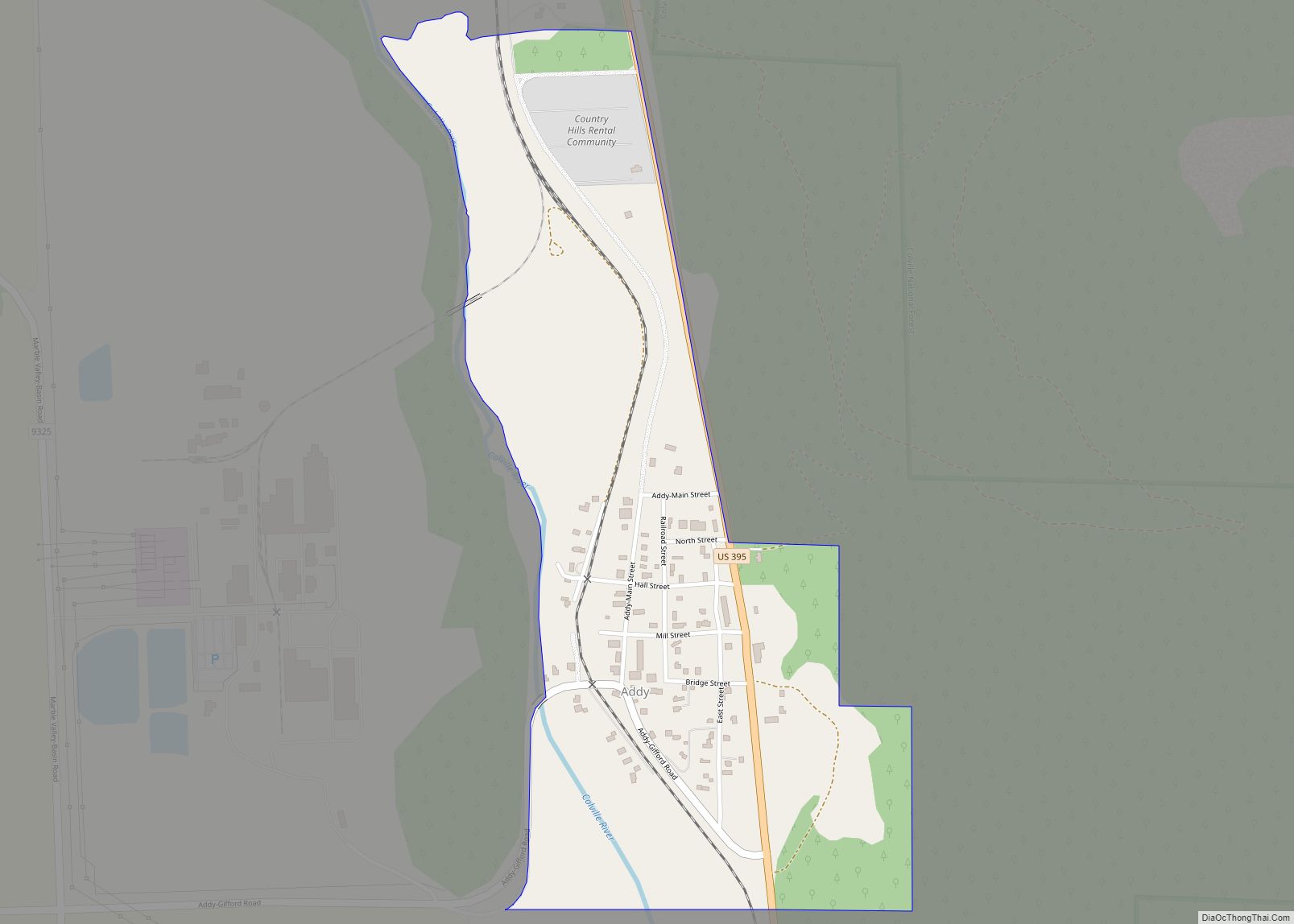
Addy Road Map
Addy city Satellite Map
See also
Map of Washington State and its subdivision:- Adams
- Asotin
- Benton
- Chelan
- Clallam
- Clark
- Columbia
- Cowlitz
- Douglas
- Ferry
- Franklin
- Garfield
- Grant
- Grays Harbor
- Island
- Jefferson
- King
- Kitsap
- Kittitas
- Klickitat
- Lewis
- Lincoln
- Mason
- Okanogan
- Pacific
- Pend Oreille
- Pierce
- San Juan
- Skagit
- Skamania
- Snohomish
- Spokane
- Stevens
- Thurston
- Wahkiakum
- Walla Walla
- Whatcom
- Whitman
- Yakima
- Alabama
- Alaska
- Arizona
- Arkansas
- California
- Colorado
- Connecticut
- Delaware
- District of Columbia
- Florida
- Georgia
- Hawaii
- Idaho
- Illinois
- Indiana
- Iowa
- Kansas
- Kentucky
- Louisiana
- Maine
- Maryland
- Massachusetts
- Michigan
- Minnesota
- Mississippi
- Missouri
- Montana
- Nebraska
- Nevada
- New Hampshire
- New Jersey
- New Mexico
- New York
- North Carolina
- North Dakota
- Ohio
- Oklahoma
- Oregon
- Pennsylvania
- Rhode Island
- South Carolina
- South Dakota
- Tennessee
- Texas
- Utah
- Vermont
- Virginia
- Washington
- West Virginia
- Wisconsin
- Wyoming
