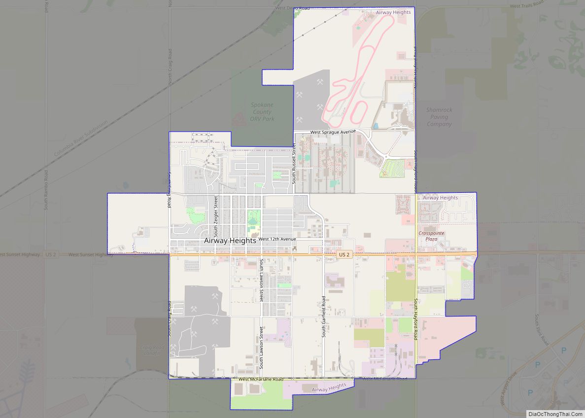
Airway Heights is a city in Spokane County, Washington, United States, just west of Spokane. The population was 10,757 at the 2020 census. The city’s name was taken from its close proximity to the runways at Fairchild Air Force Base and Spokane International Airport.
| Name: | Airway Heights city |
|---|---|
| LSAD Code: | 25 |
| LSAD Description: | city (suffix) |
| State: | Washington |
| County: | Spokane County |
| Elevation: | 2,398 ft (731 m) |
| Total Area: | 6.01 sq mi (15.57 km²) |
| Land Area: | 6.01 sq mi (15.57 km²) |
| Water Area: | 0.00 sq mi (0.00 km²) |
| Total Population: | 10,757 |
| Population Density: | 1,789.9/sq mi (691.1/km²) |
| ZIP code: | 99001 |
| Area code: | 509 |
| FIPS code: | 5300905 |
| GNISfeature ID: | 1511953 |
| Website: | cawh.org |
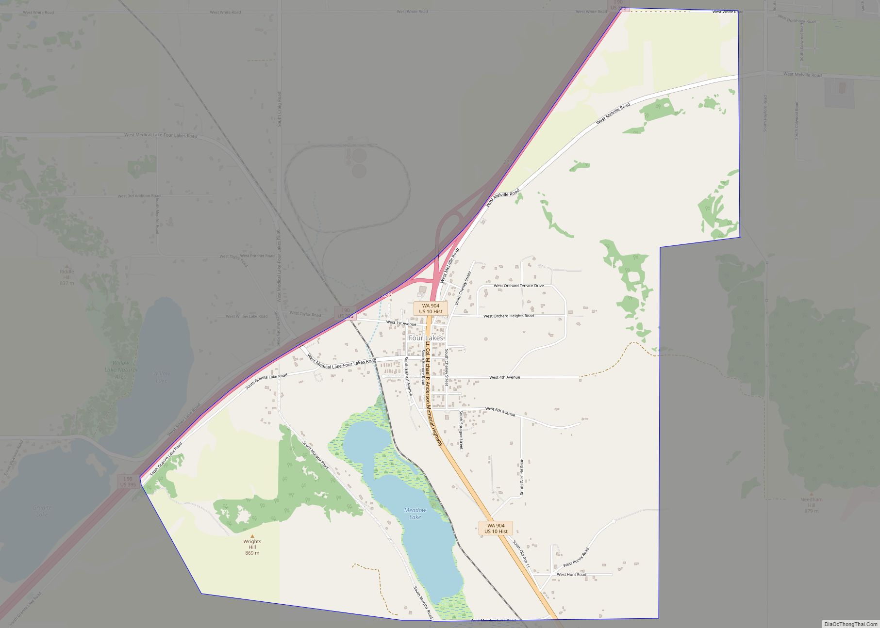
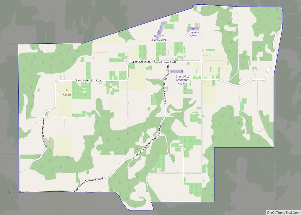
Online Interactive Map
Click on ![]() to view map in "full screen" mode.
to view map in "full screen" mode.
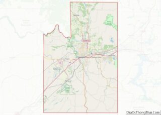
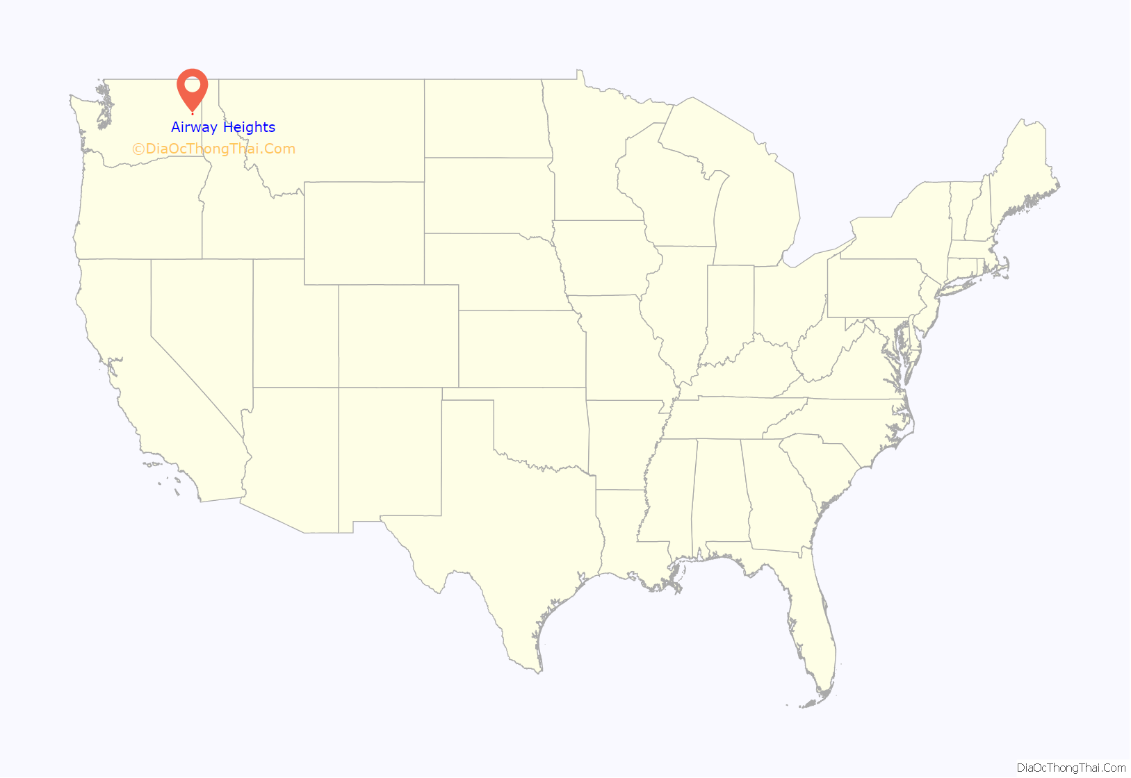
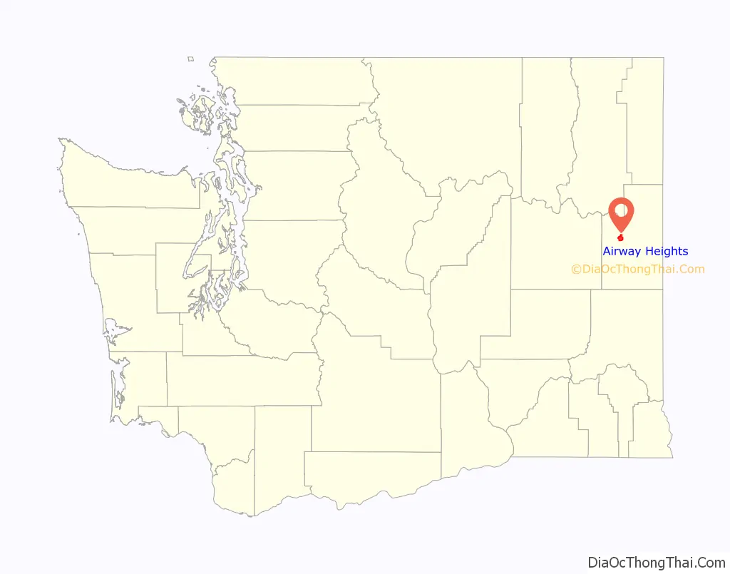
Airway Heights location map. Where is Airway Heights city?
History
Airway Heights was founded in 1942 and officially incorporated on June 28, 1955.
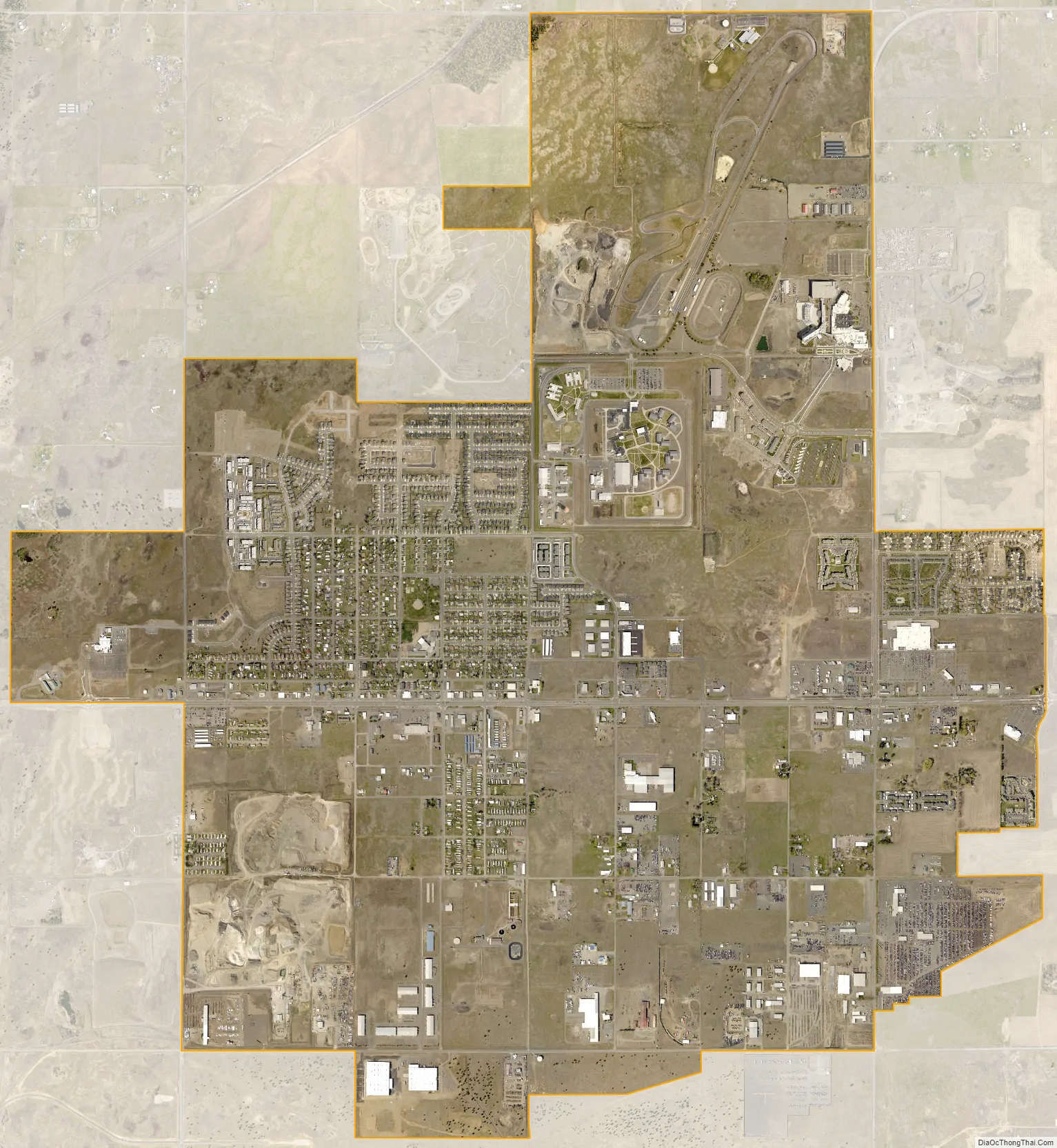
Growth in the city was spurred by the opening of the Airway Heights Corrections Center by the Washington State Department of Corrections in 1992 and the opening of the Northern Quest Resort & Casino by the Kalispel Indian Tribe in 2000. More recently, with the addition of a new Wal-Mart Supercenter, several new apartment buildings and housing developments, the expansion of the Northern Quest Casino, and the opening of the Spokane Tribe Casino, Airway Heights is continuing to grow. Also, the Spokane County Raceway Park is located in Airway Heights, and features major automobile events, including drag racing, stock car racing, and occasional monster truck shows.
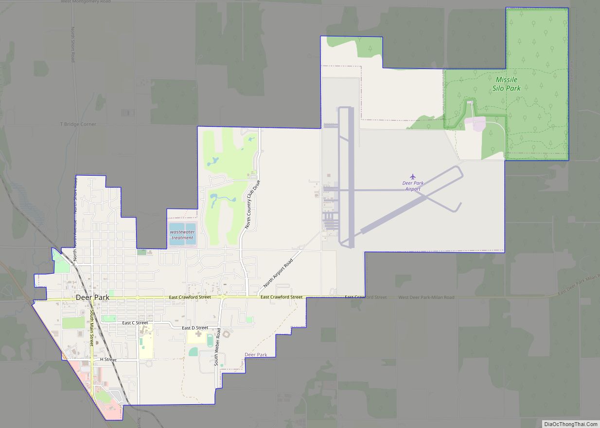
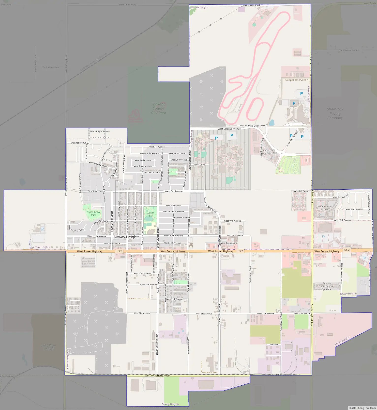
Airway Heights Road Map
Airway Heights city Satellite Map
Geography
Airway Heights is located at 47°38′37″N 117°35′11″W / 47.64361°N 117.58639°W / 47.64361; -117.58639 (47.643648, -117.586491). Downtown Spokane is located eight miles by road east of Airway Heights. In 2012, the City of Spokane incorporated the Spokane International Airport and surrounding area, since which the city Spokane has bordered the city of Airway Heights to the east and south.
According to the United States Census Bureau, the city has a total area of 5.63 square miles (14.58 km), all of it land.
The community lies in the northeastern corner of the flat Columbia Plateau. While the plateau tends to be flat, the terrain locally is quite rugged as it is part of the Channeled Scablands. The “heights” in the city’s name references its location at a higher elevation than the city center of Spokane. Traveling into Airway Heights along U.S. 2, the main road into the city, from Downtown Spokane, one will climb over 500 feet.
Highway 2 is the main east-west thoroughfare in the city. It connects Airway Heights with Fairchild to the west and Spokane to the east. Interstate 90 runs just a few miles south of the city.
See also
Map of Washington State and its subdivision:- Adams
- Asotin
- Benton
- Chelan
- Clallam
- Clark
- Columbia
- Cowlitz
- Douglas
- Ferry
- Franklin
- Garfield
- Grant
- Grays Harbor
- Island
- Jefferson
- King
- Kitsap
- Kittitas
- Klickitat
- Lewis
- Lincoln
- Mason
- Okanogan
- Pacific
- Pend Oreille
- Pierce
- San Juan
- Skagit
- Skamania
- Snohomish
- Spokane
- Stevens
- Thurston
- Wahkiakum
- Walla Walla
- Whatcom
- Whitman
- Yakima
- Alabama
- Alaska
- Arizona
- Arkansas
- California
- Colorado
- Connecticut
- Delaware
- District of Columbia
- Florida
- Georgia
- Hawaii
- Idaho
- Illinois
- Indiana
- Iowa
- Kansas
- Kentucky
- Louisiana
- Maine
- Maryland
- Massachusetts
- Michigan
- Minnesota
- Mississippi
- Missouri
- Montana
- Nebraska
- Nevada
- New Hampshire
- New Jersey
- New Mexico
- New York
- North Carolina
- North Dakota
- Ohio
- Oklahoma
- Oregon
- Pennsylvania
- Rhode Island
- South Carolina
- South Dakota
- Tennessee
- Texas
- Utah
- Vermont
- Virginia
- Washington
- West Virginia
- Wisconsin
- Wyoming