Alder is a census-designated place (CDP) in Pierce County, Washington, United States. The population was 227 at the 2010 census. The community is located along the shore of Alder Lake on State Route Highway 7 near the entrance to Mount Rainier National Park.
A post office called Alder was established in 1902, and remained in operation until 1975. The community was named for the alder trees near the original town site.
| Name: | Alder CDP |
|---|---|
| LSAD Code: | 57 |
| LSAD Description: | CDP (suffix) |
| State: | Washington |
| County: | Pierce County |
| Elevation: | 1,237 ft (377 m) |
| Total Area: | 3.24 sq mi (8.4 km²) |
| Land Area: | 3.21 sq mi (8.3 km²) |
| Water Area: | 0.03 sq mi (0.08 km²) |
| Total Population: | 227 |
| ZIP code: | 98335 |
| Area code: | 360 |
| FIPS code: | 5301045 |
Online Interactive Map
Click on ![]() to view map in "full screen" mode.
to view map in "full screen" mode.
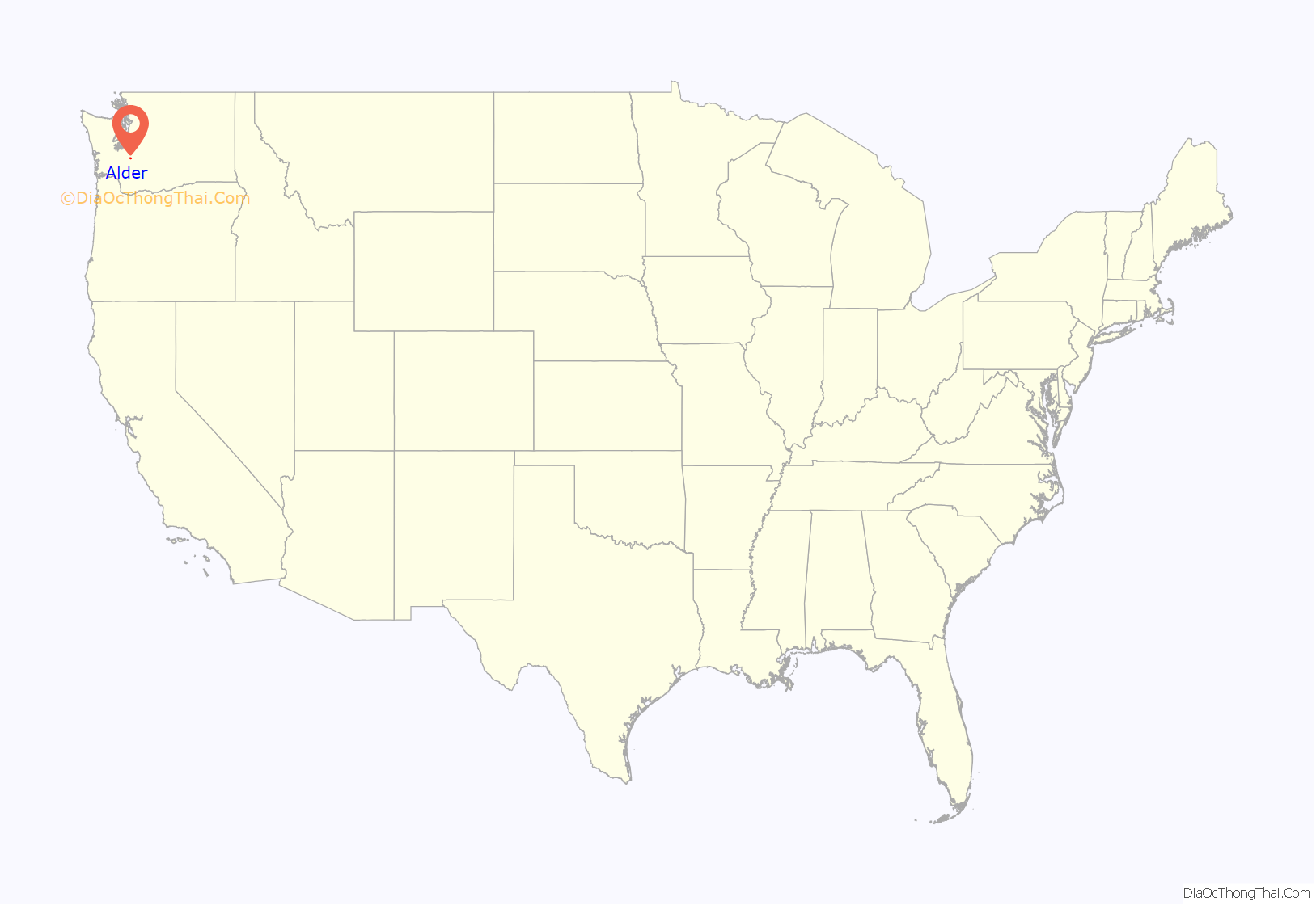
Alder location map. Where is Alder CDP?
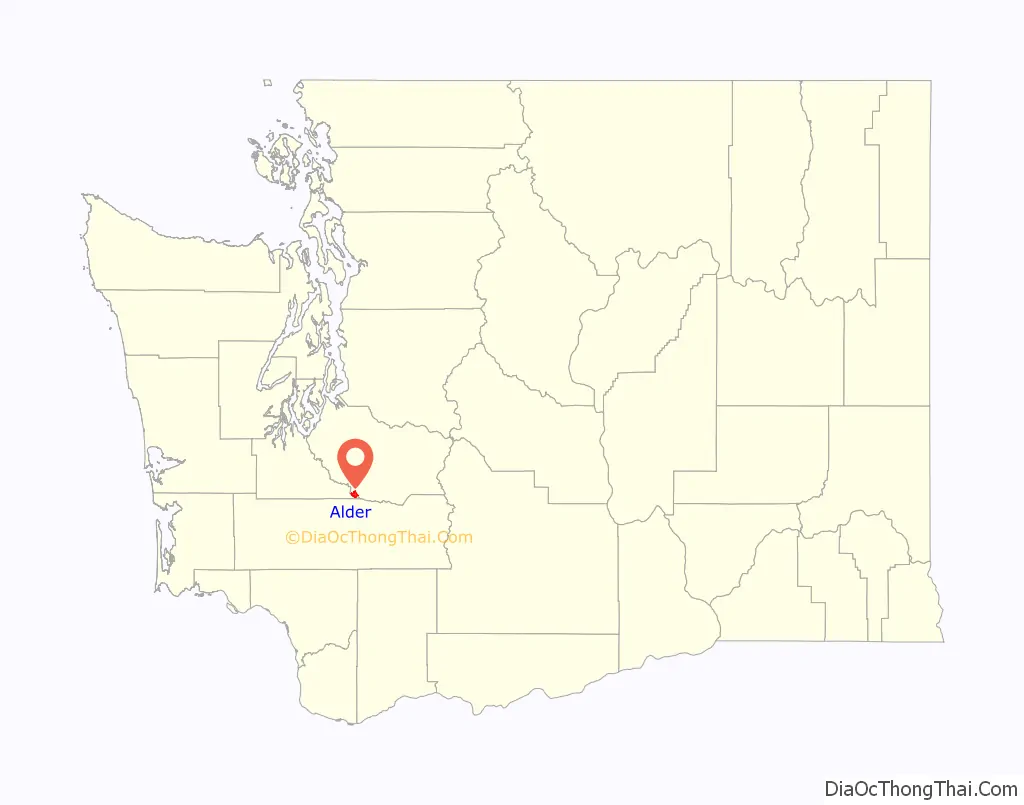
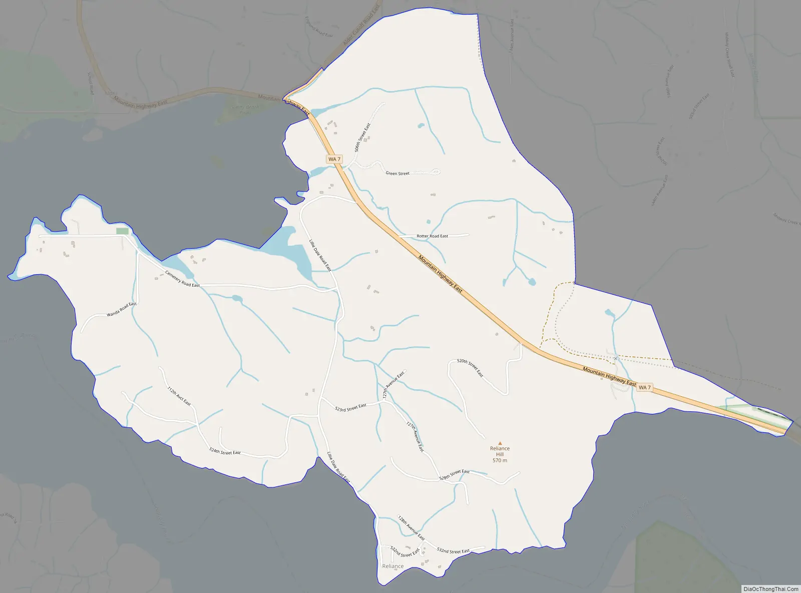
Alder Road Map
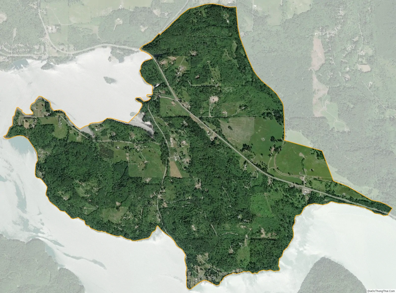
Alder city Satellite Map
Geography
Alder is located at 46°47′16″N 122°15′58″W / 46.78778°N 122.26611°W / 46.78778; -122.26611 (46.787849, -122.26619).
According to the United States Census Bureau, the CDP has a total area of 3.24 square miles (8.4 km), of which, 3.21 square miles (8.3 km) of it is land and 0.03 square miles (0.08 km) of it (0.83%) is water.
See also
Map of Washington State and its subdivision:- Adams
- Asotin
- Benton
- Chelan
- Clallam
- Clark
- Columbia
- Cowlitz
- Douglas
- Ferry
- Franklin
- Garfield
- Grant
- Grays Harbor
- Island
- Jefferson
- King
- Kitsap
- Kittitas
- Klickitat
- Lewis
- Lincoln
- Mason
- Okanogan
- Pacific
- Pend Oreille
- Pierce
- San Juan
- Skagit
- Skamania
- Snohomish
- Spokane
- Stevens
- Thurston
- Wahkiakum
- Walla Walla
- Whatcom
- Whitman
- Yakima
- Alabama
- Alaska
- Arizona
- Arkansas
- California
- Colorado
- Connecticut
- Delaware
- District of Columbia
- Florida
- Georgia
- Hawaii
- Idaho
- Illinois
- Indiana
- Iowa
- Kansas
- Kentucky
- Louisiana
- Maine
- Maryland
- Massachusetts
- Michigan
- Minnesota
- Mississippi
- Missouri
- Montana
- Nebraska
- Nevada
- New Hampshire
- New Jersey
- New Mexico
- New York
- North Carolina
- North Dakota
- Ohio
- Oklahoma
- Oregon
- Pennsylvania
- Rhode Island
- South Carolina
- South Dakota
- Tennessee
- Texas
- Utah
- Vermont
- Virginia
- Washington
- West Virginia
- Wisconsin
- Wyoming


