Alderwood Manor is a census-designated place (CDP) in Snohomish County, Washington, United States. The population was 10,198 at the 2020 census. Prior to the 2000 census, Alderwood Manor was counted as part of the Alderwood Manor-Bothell North CDP.
| Name: | Alderwood Manor CDP |
|---|---|
| LSAD Code: | 57 |
| LSAD Description: | CDP (suffix) |
| State: | Washington |
| County: | Snohomish County |
| Elevation: | 423 ft (129 m) |
| Total Area: | 4.8 sq mi (12.4 km²) |
| Land Area: | 4.8 sq mi (12.4 km²) |
| Water Area: | 0.0 sq mi (0.0 km²) |
| Total Population: | 10,198 |
| Population Density: | 3,194.6/sq mi (1,233.4/km²) |
| ZIP code: | 98036 |
| Area code: | 425 |
| FIPS code: | 5301185 |
| GNISfeature ID: | 1511955 |
Online Interactive Map
Click on ![]() to view map in "full screen" mode.
to view map in "full screen" mode.
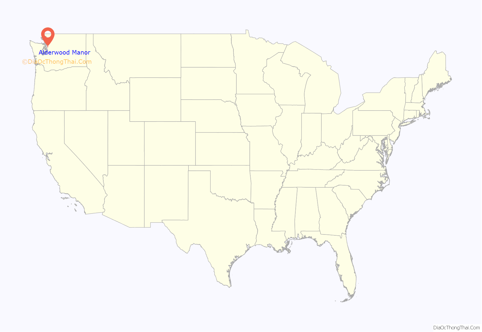
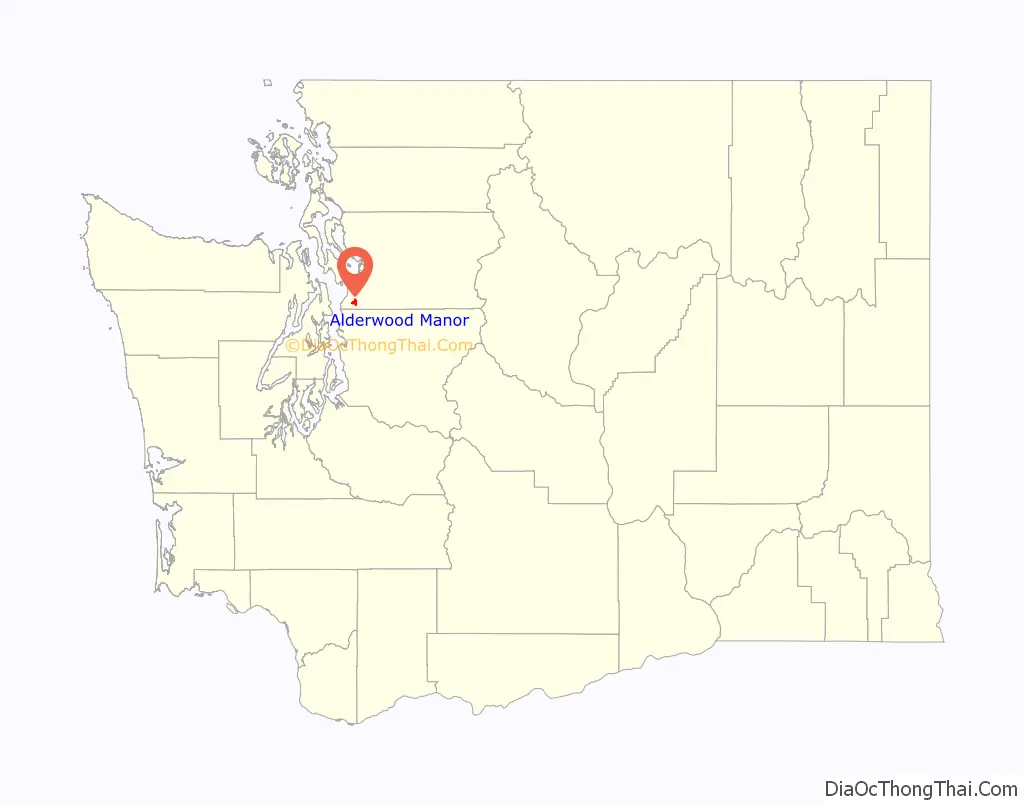
Alderwood Manor location map. Where is Alderwood Manor CDP?
History
Alderwood Manor was a community that is now the cities of Lynnwood, Brier, and Mountlake Terrace. Alderwood Manor was a farming community where most residents raised chickens. Alderwood Manor was connected to Everett and Seattle by the interurban trolley system. Most signs of Alderwood have since disappeared but in 2004 Lynnwood’s Heritage Park opened. The Heritage Park has some old buildings of the Lynnwood area, such as The Wickers Building, which served as Alderwood’s main store and post office from 1919-1960s. Other buildings included Car 55 of the interurban.
In 1979 Lynnwood’s largest tourist attraction, the Alderwood Mall was built.
The only Alderwood Manor building still in the same place as when it was built is the old Masonic Temple. The Manor Hardware building (originally used as a schoolhouse in the early 1900s, but which had been vacant for many years) was demolished in 2015. Both locations are just off of 196th St SW in Lynnwood. Some private homes still stand in the area as well.
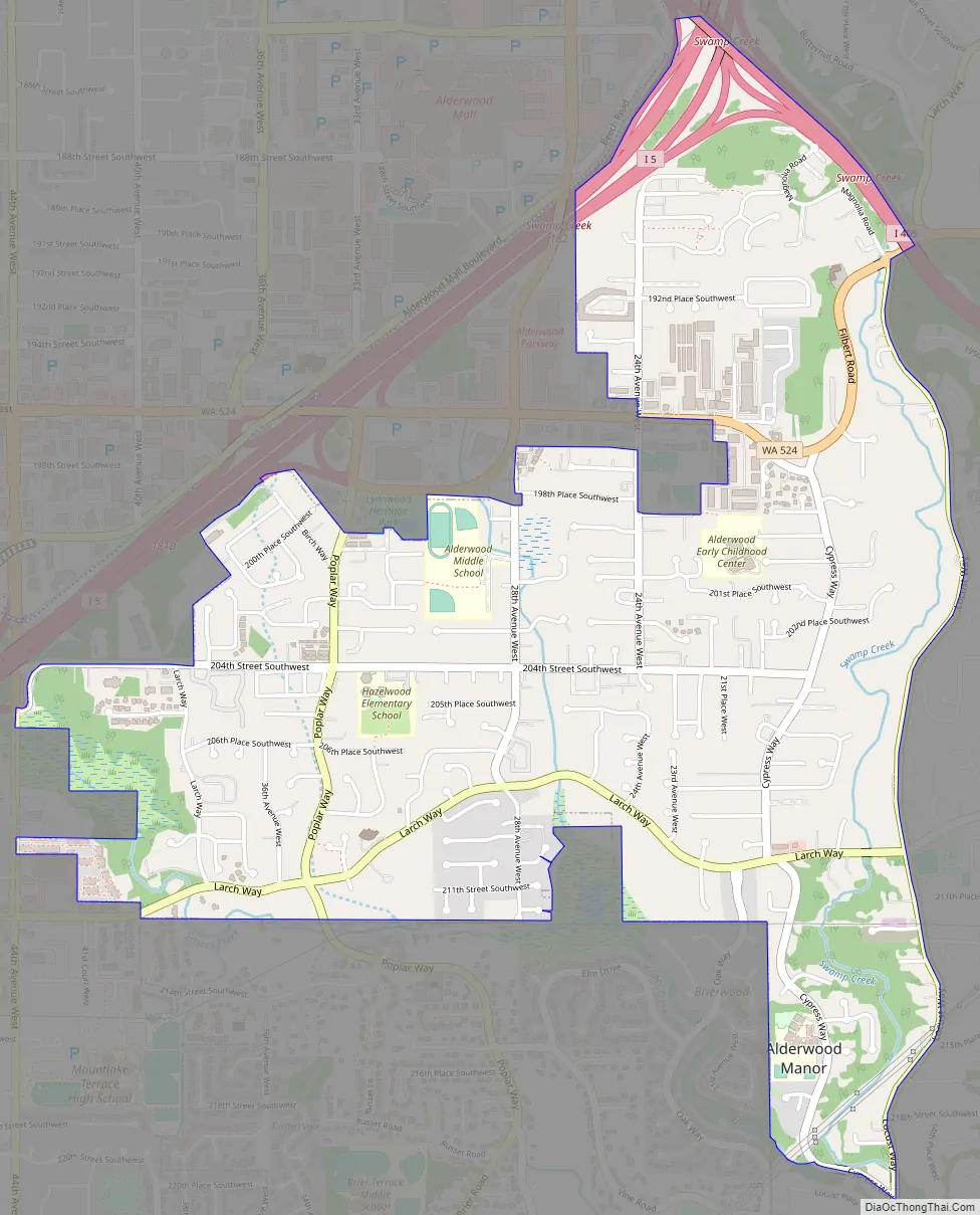
Alderwood Manor Road Map
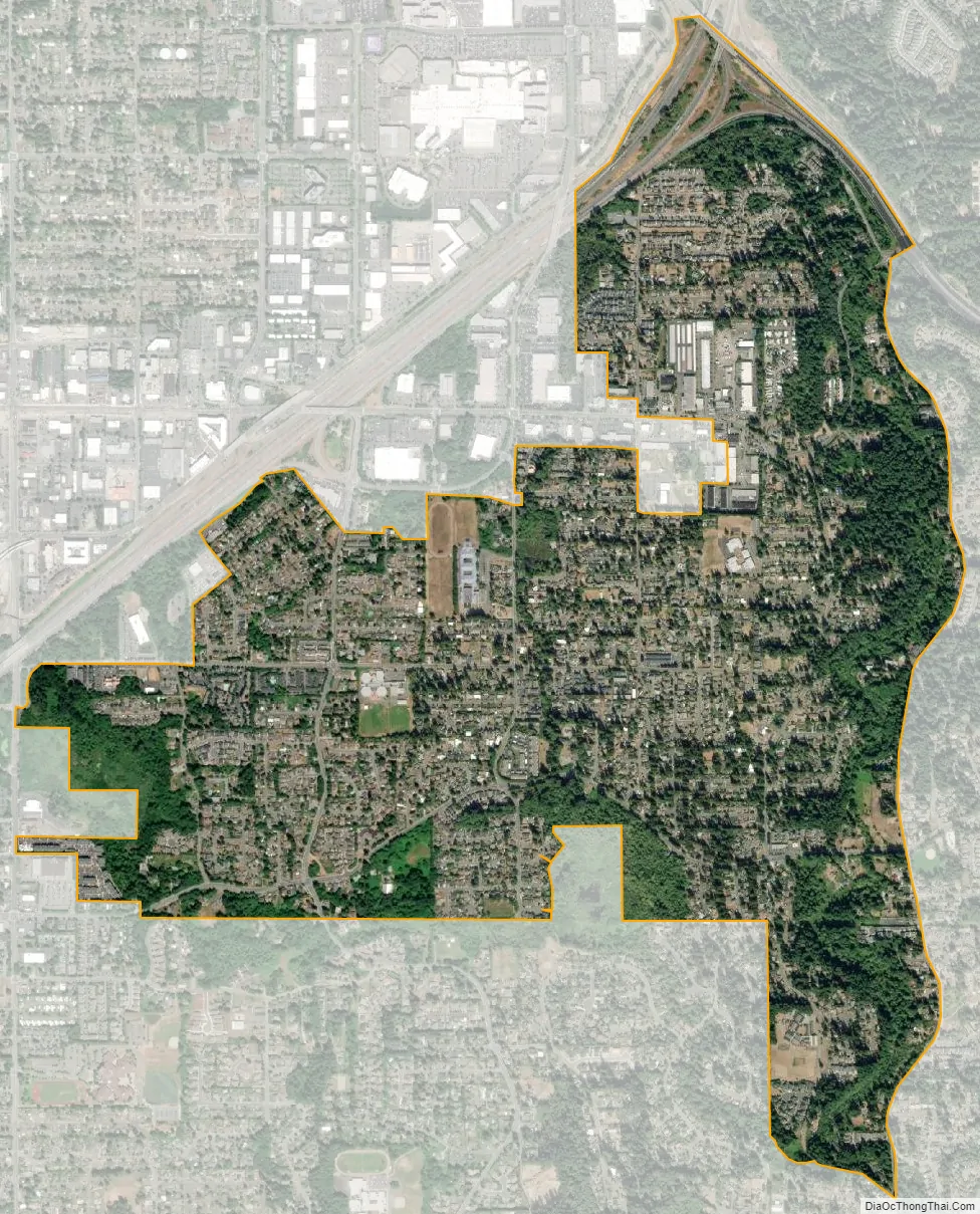
Alderwood Manor city Satellite Map
Geography
According to the United States Census Bureau, the CDP has a total area of 4.8 square miles (12.4 km).
Parts of Alderwood Manor lie in the Lynnwood MUGA (Municipal Urban Growth Area). Depending on location, buildings in Alderwood Manor may use either Lynnwood, Bothell, or Brier mailing addresses.
See also
Map of Washington State and its subdivision:- Adams
- Asotin
- Benton
- Chelan
- Clallam
- Clark
- Columbia
- Cowlitz
- Douglas
- Ferry
- Franklin
- Garfield
- Grant
- Grays Harbor
- Island
- Jefferson
- King
- Kitsap
- Kittitas
- Klickitat
- Lewis
- Lincoln
- Mason
- Okanogan
- Pacific
- Pend Oreille
- Pierce
- San Juan
- Skagit
- Skamania
- Snohomish
- Spokane
- Stevens
- Thurston
- Wahkiakum
- Walla Walla
- Whatcom
- Whitman
- Yakima
- Alabama
- Alaska
- Arizona
- Arkansas
- California
- Colorado
- Connecticut
- Delaware
- District of Columbia
- Florida
- Georgia
- Hawaii
- Idaho
- Illinois
- Indiana
- Iowa
- Kansas
- Kentucky
- Louisiana
- Maine
- Maryland
- Massachusetts
- Michigan
- Minnesota
- Mississippi
- Missouri
- Montana
- Nebraska
- Nevada
- New Hampshire
- New Jersey
- New Mexico
- New York
- North Carolina
- North Dakota
- Ohio
- Oklahoma
- Oregon
- Pennsylvania
- Rhode Island
- South Carolina
- South Dakota
- Tennessee
- Texas
- Utah
- Vermont
- Virginia
- Washington
- West Virginia
- Wisconsin
- Wyoming


