Artondale is a census-designated place (CDP) in Pierce County, Washington, United States. The population was 13,641 at the 2020 census.
Based on per capita income, Artondale ranks 82nd of 522 areas in the state of Washington to be ranked.
| Name: | Artondale CDP |
|---|---|
| LSAD Code: | 57 |
| LSAD Description: | CDP (suffix) |
| State: | Washington |
| County: | Pierce County |
| Elevation: | 23 ft (7 m) |
| Total Area: | 13.8 sq mi (35.8 km²) |
| Land Area: | 13.38 sq mi (34.7 km²) |
| Total Population: | 13,641 |
| Population Density: | 1,019.8/sq mi (393.7/km²) |
| ZIP code: | 98335 |
| Area code: | 253 |
| FIPS code: | 5302910 |
| GNISfeature ID: | 1511972 |
Online Interactive Map
Click on ![]() to view map in "full screen" mode.
to view map in "full screen" mode.
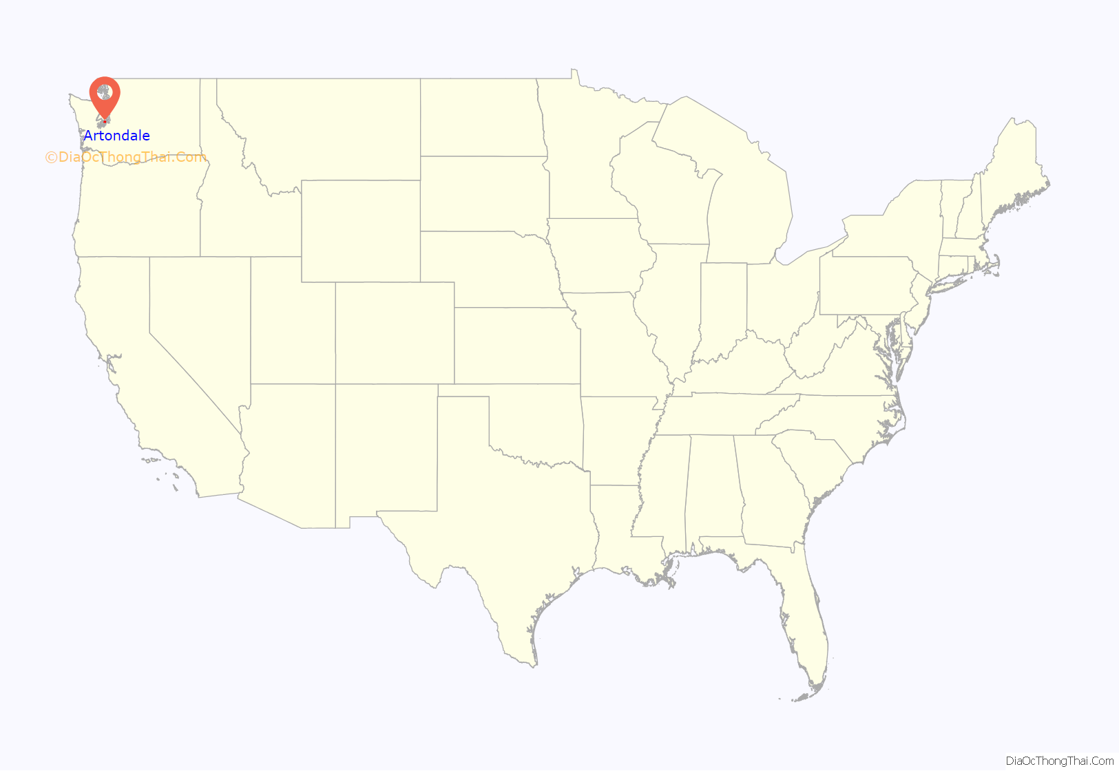
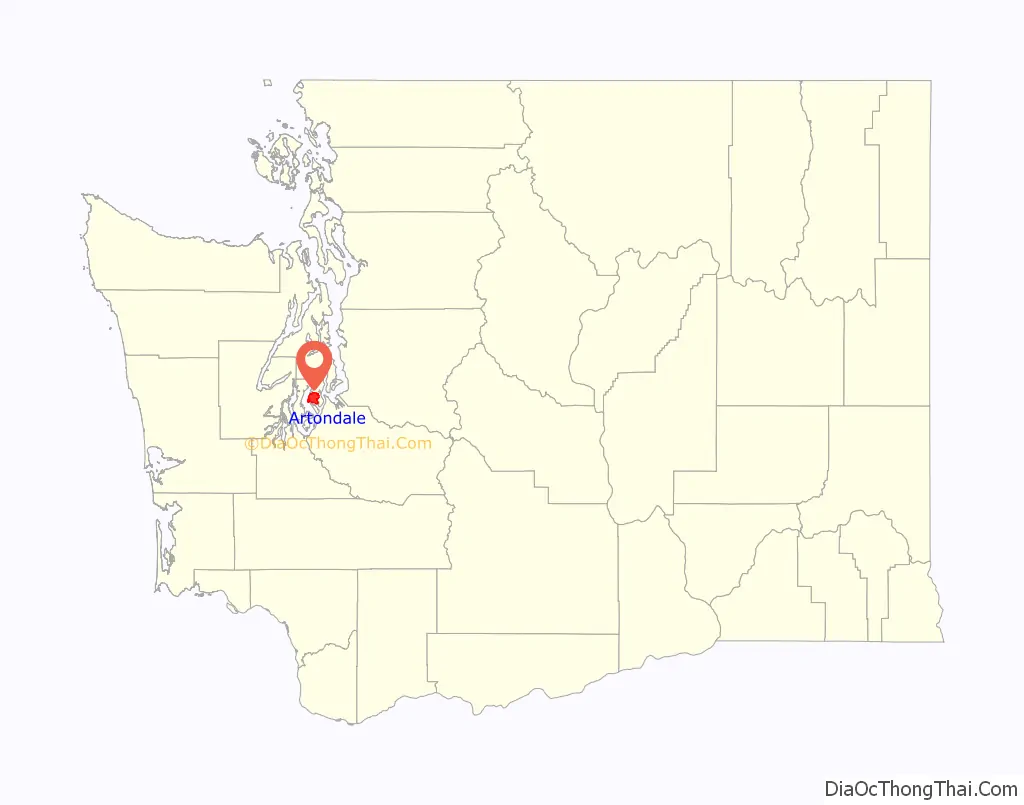
Artondale location map. Where is Artondale CDP?
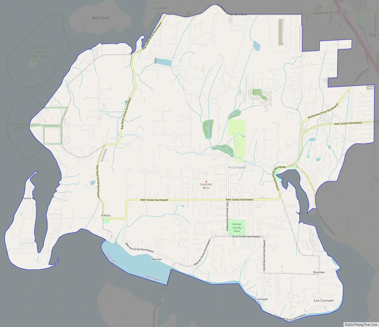
Artondale Road Map
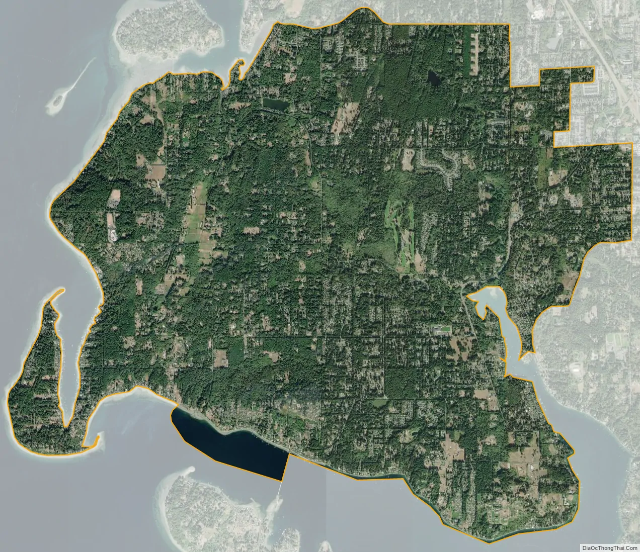
Artondale city Satellite Map
Geography
Artondale is located at 47°18′0″N 122°37′45″W / 47.30000°N 122.62917°W / 47.30000; -122.62917 (47.300052, -122.629242).
According to the United States Census Bureau, the CDP has a total area of 13.8 square miles (35.8 km), of which, 13.6 square miles (35.2 km) of it is land and 0.25 square miles (0.7 km) of it (1.82%) is water. The Artondale CDP encompasses parts of other communities not normally considered a part of Artondale by locals, such as parts of Cromwell, Warren and Arletta to the south, Sylvia Lake and Rosedale to the northwest, and Wollochet and Midway to the northeast. The more “traditional” area of Artondale is usually considered to be the portions of the CDP south of Hunt St NW, west of Wollochet Dr NW, north of 32nd St NW, and east of 92nd Ave NW.
Artondale Creek runs through Artondale, before emptying out into Wollochet Bay. Public access to the creek is very limited, though the creek and the opening into Wollochet Bay can be viewed from the pedestrian sidewalk near the intersection of Wollochet Drive NW and Artondale Drive NW, or by exploring through Wollochet Bay Estuary Park. Artondale Creek is known to be a salmon spawning site. Students from Artondale Elementary School have sometimes been invited by residents with creek access to view salmon in the creek during spawning season.
See also
Map of Washington State and its subdivision:- Adams
- Asotin
- Benton
- Chelan
- Clallam
- Clark
- Columbia
- Cowlitz
- Douglas
- Ferry
- Franklin
- Garfield
- Grant
- Grays Harbor
- Island
- Jefferson
- King
- Kitsap
- Kittitas
- Klickitat
- Lewis
- Lincoln
- Mason
- Okanogan
- Pacific
- Pend Oreille
- Pierce
- San Juan
- Skagit
- Skamania
- Snohomish
- Spokane
- Stevens
- Thurston
- Wahkiakum
- Walla Walla
- Whatcom
- Whitman
- Yakima
- Alabama
- Alaska
- Arizona
- Arkansas
- California
- Colorado
- Connecticut
- Delaware
- District of Columbia
- Florida
- Georgia
- Hawaii
- Idaho
- Illinois
- Indiana
- Iowa
- Kansas
- Kentucky
- Louisiana
- Maine
- Maryland
- Massachusetts
- Michigan
- Minnesota
- Mississippi
- Missouri
- Montana
- Nebraska
- Nevada
- New Hampshire
- New Jersey
- New Mexico
- New York
- North Carolina
- North Dakota
- Ohio
- Oklahoma
- Oregon
- Pennsylvania
- Rhode Island
- South Carolina
- South Dakota
- Tennessee
- Texas
- Utah
- Vermont
- Virginia
- Washington
- West Virginia
- Wisconsin
- Wyoming


