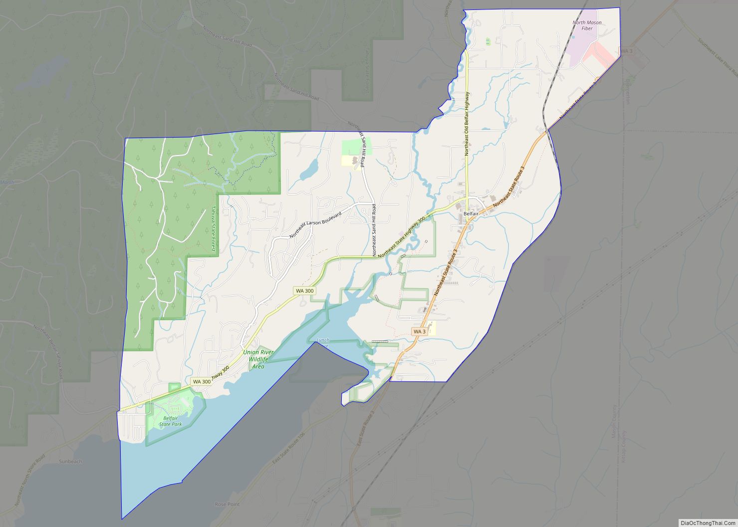
Belfair is a census-designated place in Mason County, Washington, United States. Located at the mouth of the Union River at Hood Canal, it serves as the commercial center of North Mason County. The population of the surrounding area grows in the summertime, as the Canal and the Olympic Peninsula are popular with tourists. The population was 3,931 as of the 2010 census.
| Name: | Belfair CDP |
|---|---|
| LSAD Code: | 57 |
| LSAD Description: | CDP (suffix) |
| State: | Washington |
| County: | Mason County |
| Total Area: | 44.9 sq mi (116 km²) |
| Total Population: | 3,931 |
| Population Density: | 88/sq mi (34/km²) |
| Area code: | 360 |
| FIPS code: | 5305140 |
| GNISfeature ID: | 1516383 |
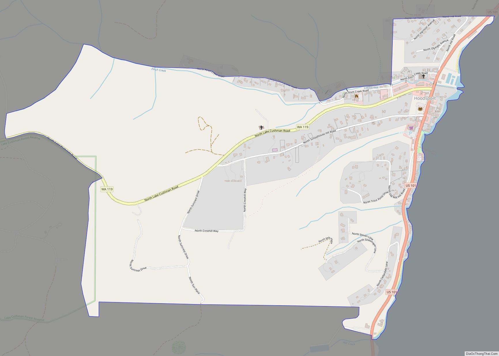
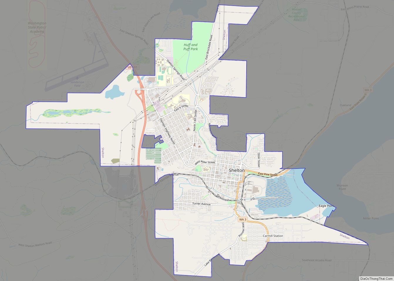
Online Interactive Map
Click on ![]() to view map in "full screen" mode.
to view map in "full screen" mode.
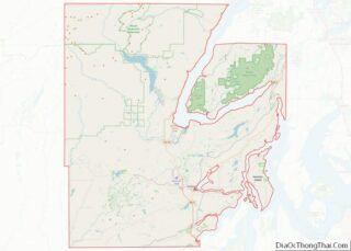
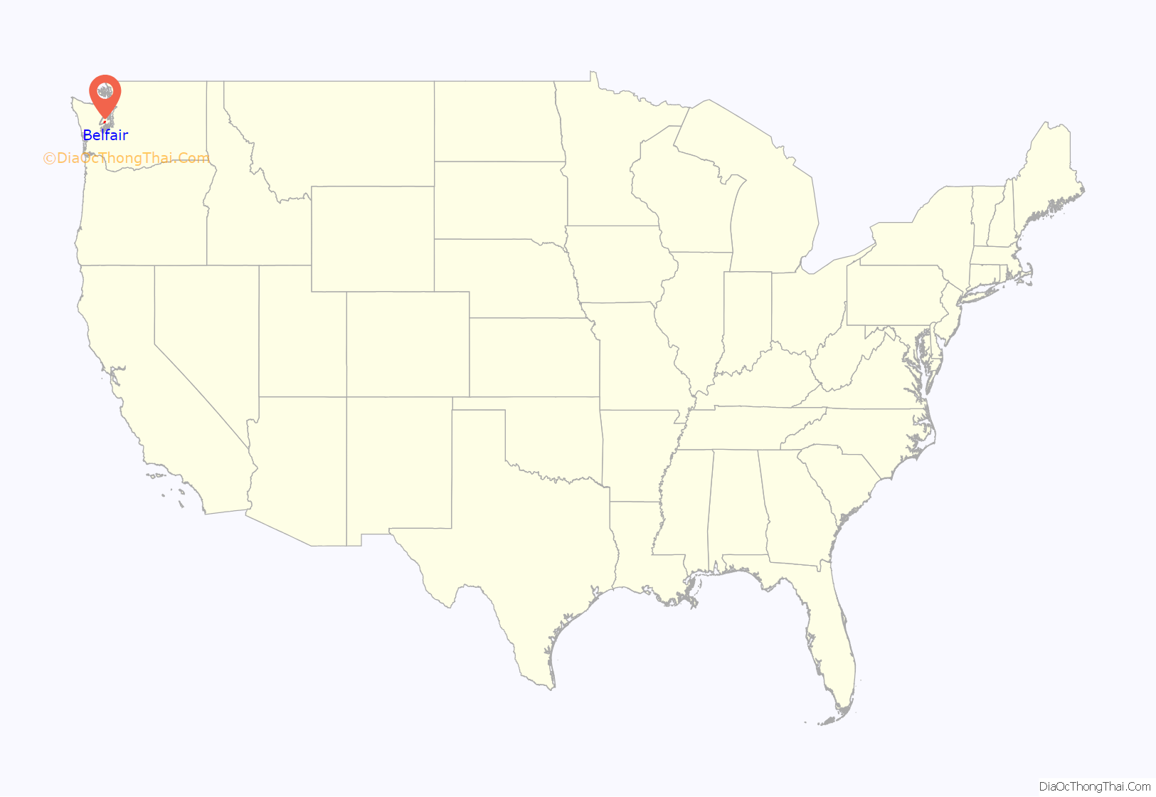
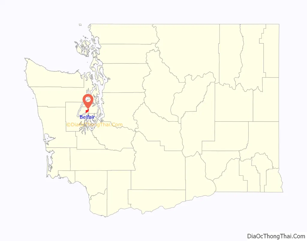
Belfair location map. Where is Belfair CDP?
History
Belfair was originally referred to as Clifton, as were several other towns in the state. To avoid confusion, it was renamed in 1925 by Mrs. Murray, then postmaster, who submitted the name Belfair from a book that she was then reading.
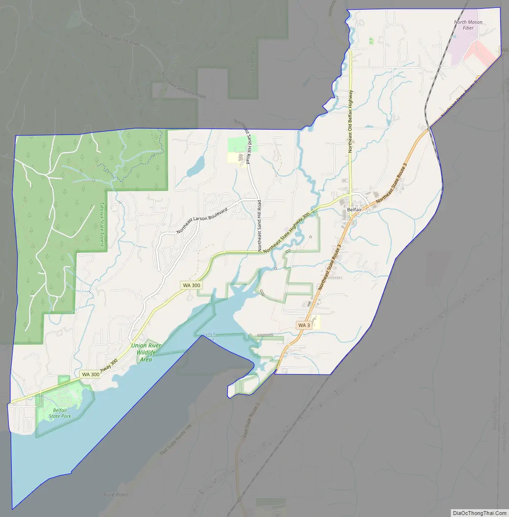
Belfair Road Map
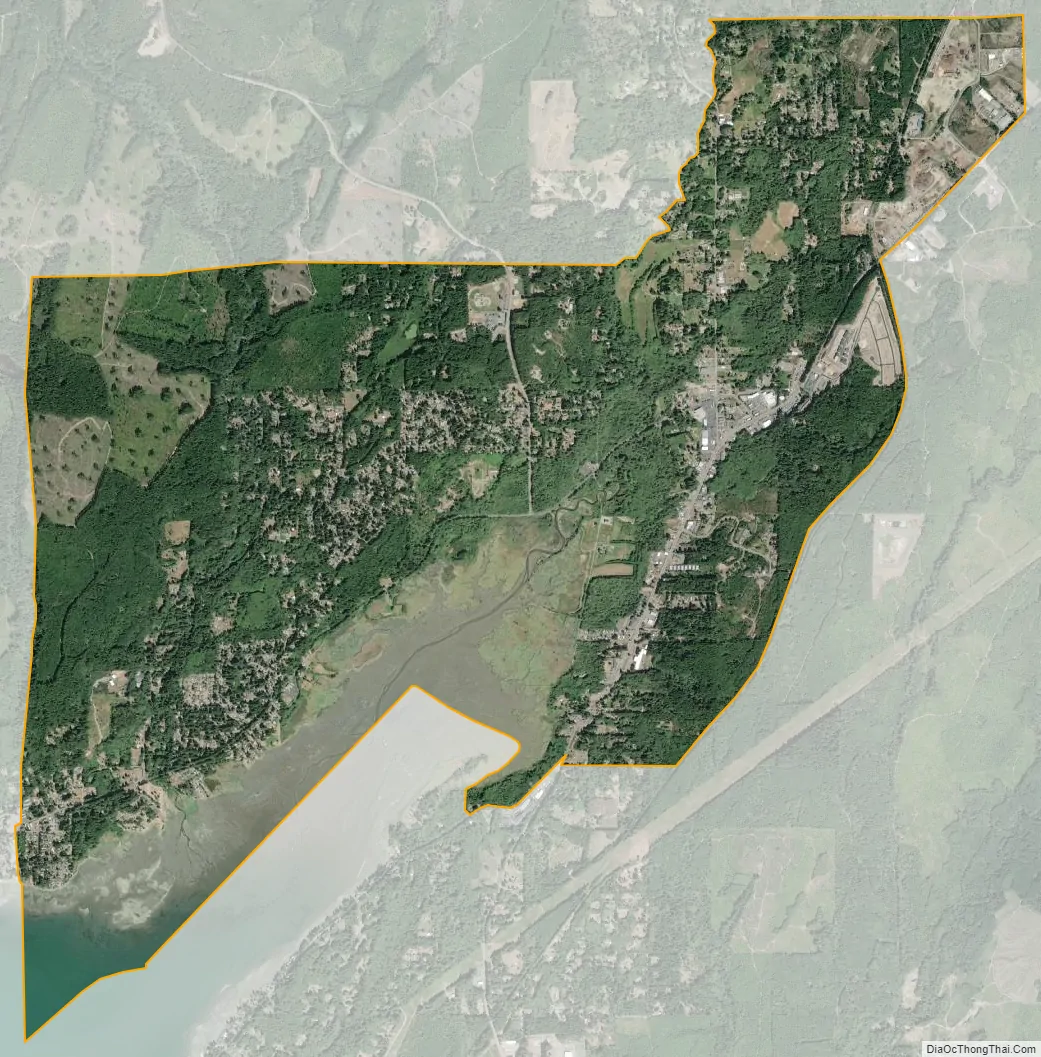
Belfair city Satellite Map
Geography
Belfair is located on an isthmus connecting the Kitsap and Olympic Peninsula. It receives an average rainfall of 60 inches (1,500 mm) yearly and has a growing season of 212 days with final spring frost around April 20 usually.
Mason Lake is 8 miles (13 km) southwest of Belfair.
See also
Map of Washington State and its subdivision:- Adams
- Asotin
- Benton
- Chelan
- Clallam
- Clark
- Columbia
- Cowlitz
- Douglas
- Ferry
- Franklin
- Garfield
- Grant
- Grays Harbor
- Island
- Jefferson
- King
- Kitsap
- Kittitas
- Klickitat
- Lewis
- Lincoln
- Mason
- Okanogan
- Pacific
- Pend Oreille
- Pierce
- San Juan
- Skagit
- Skamania
- Snohomish
- Spokane
- Stevens
- Thurston
- Wahkiakum
- Walla Walla
- Whatcom
- Whitman
- Yakima
- Alabama
- Alaska
- Arizona
- Arkansas
- California
- Colorado
- Connecticut
- Delaware
- District of Columbia
- Florida
- Georgia
- Hawaii
- Idaho
- Illinois
- Indiana
- Iowa
- Kansas
- Kentucky
- Louisiana
- Maine
- Maryland
- Massachusetts
- Michigan
- Minnesota
- Mississippi
- Missouri
- Montana
- Nebraska
- Nevada
- New Hampshire
- New Jersey
- New Mexico
- New York
- North Carolina
- North Dakota
- Ohio
- Oklahoma
- Oregon
- Pennsylvania
- Rhode Island
- South Carolina
- South Dakota
- Tennessee
- Texas
- Utah
- Vermont
- Virginia
- Washington
- West Virginia
- Wisconsin
- Wyoming