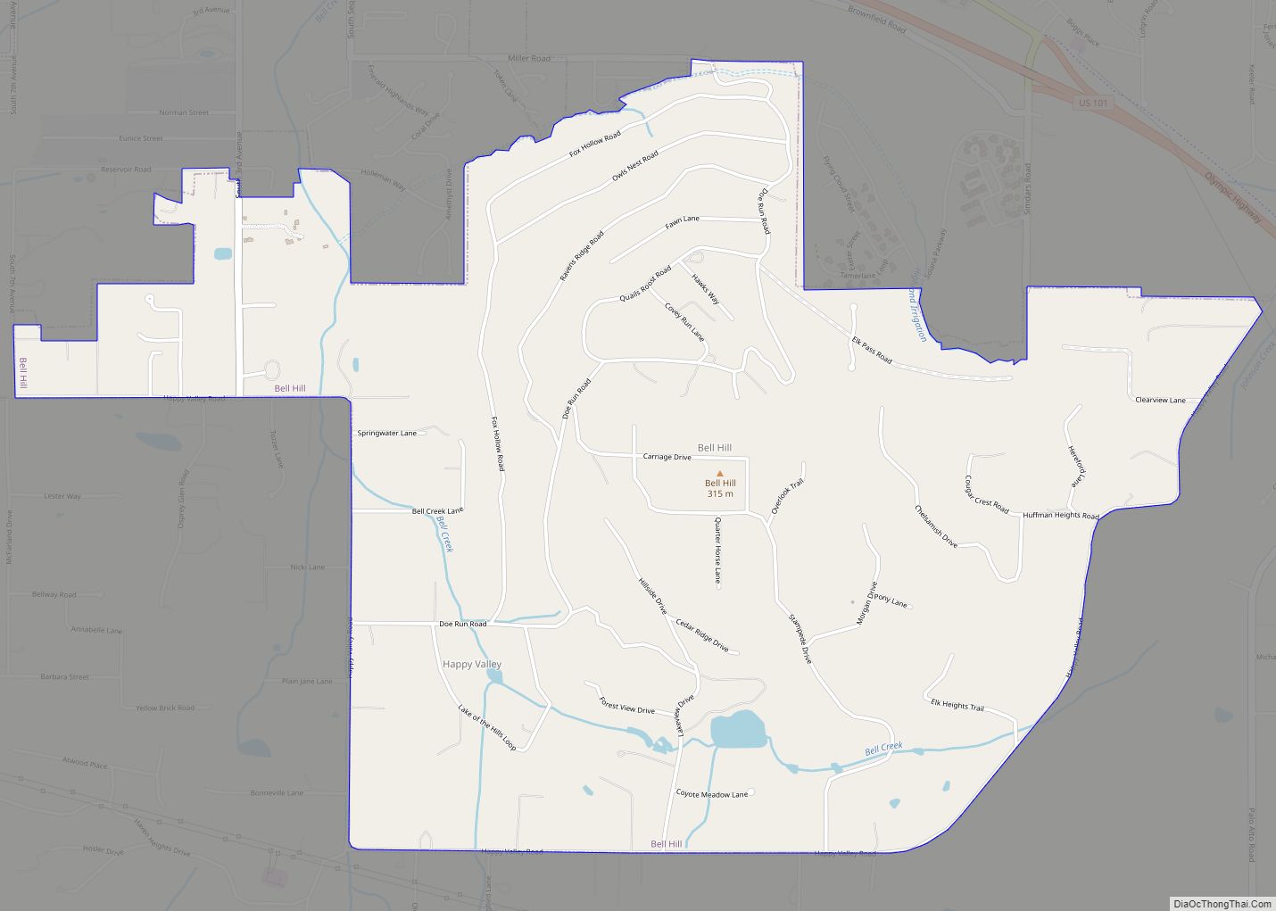
Bell Hill is an unincorporated community and census-designated place (CDP) in Clallam County, Washington, United States. The population was 837 at the 2010 census, up from 731 at the 2000 census. Located just south of the city of Sequim, Bell Hill has become a fast-growing destination for the very wealthy, with a high population of Californians who found success in high tech businesses. Although Sequim is not affluent, it is known for its low levels of rain, a quality that has made Bell Hill very attractive. Bell Hill gets somewhat more precipitation than Sequim but is drier than most western Washington areas.
Based on per capita income, one of the more reliable measures of affluence, Bell Hill ranks 21st of 522 areas in the state of Washington to be ranked. It is also the highest rank achieved in Clallam County.
| Name: | Bell Hill CDP |
|---|---|
| LSAD Code: | 57 |
| LSAD Description: | CDP (suffix) |
| State: | Washington |
| County: | Clallam County |
| Elevation: | 1,037 ft (316 m) |
| Total Area: | 2.65 sq mi (6.86 km²) |
| Land Area: | 2.65 sq mi (6.86 km²) |
| Water Area: | 0.0 sq mi (0.0 km²) |
| Total Population: | 837 |
| Population Density: | 316/sq mi (122.0/km²) |
| FIPS code: | 5305245 |
| GNISfeature ID: | 1852938 |
Online Interactive Map
Click on ![]() to view map in "full screen" mode.
to view map in "full screen" mode.
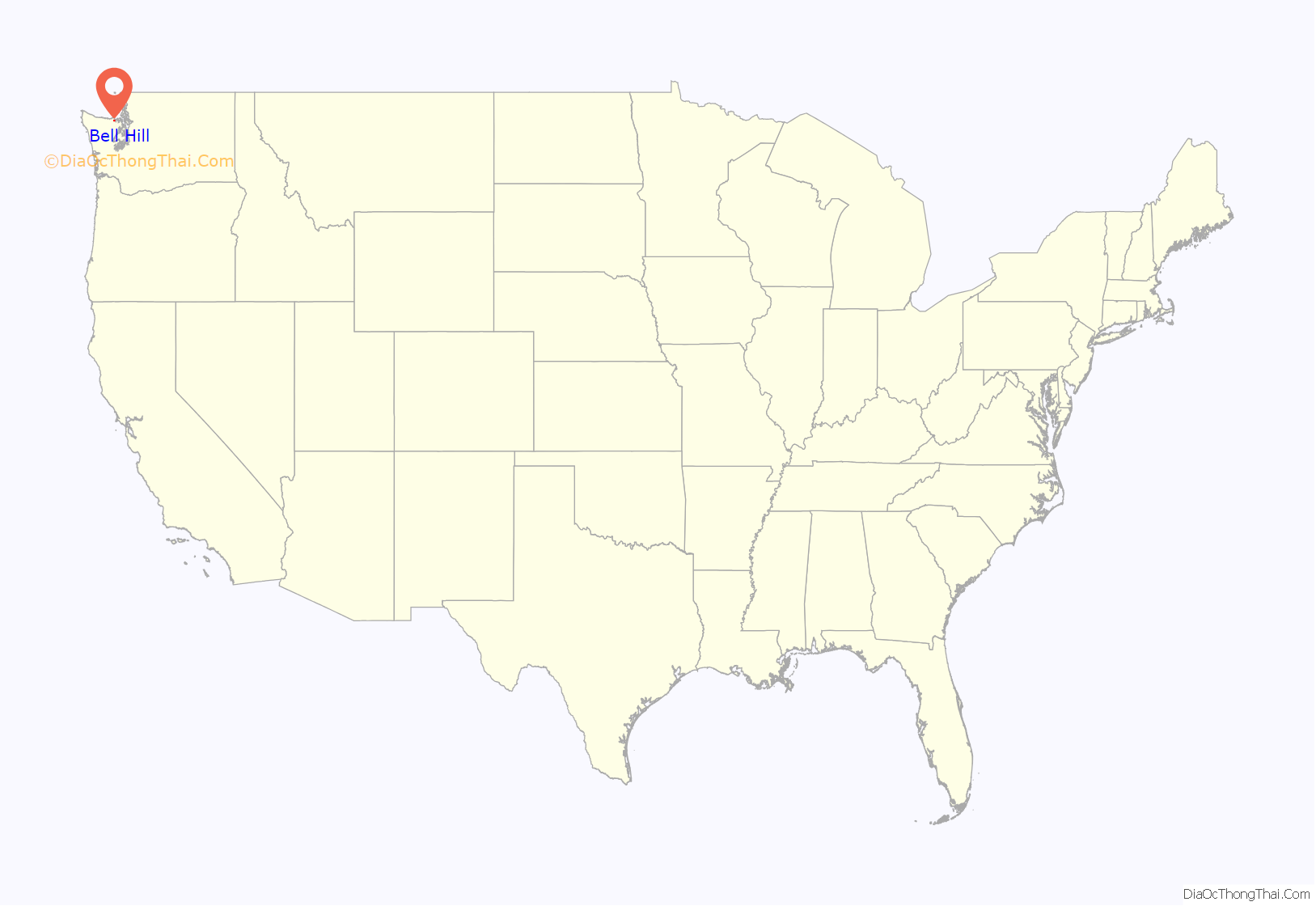
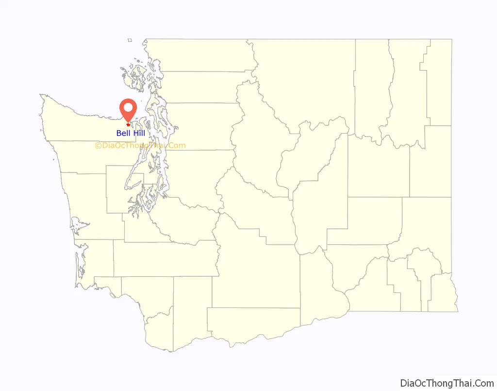
Bell Hill location map. Where is Bell Hill CDP?
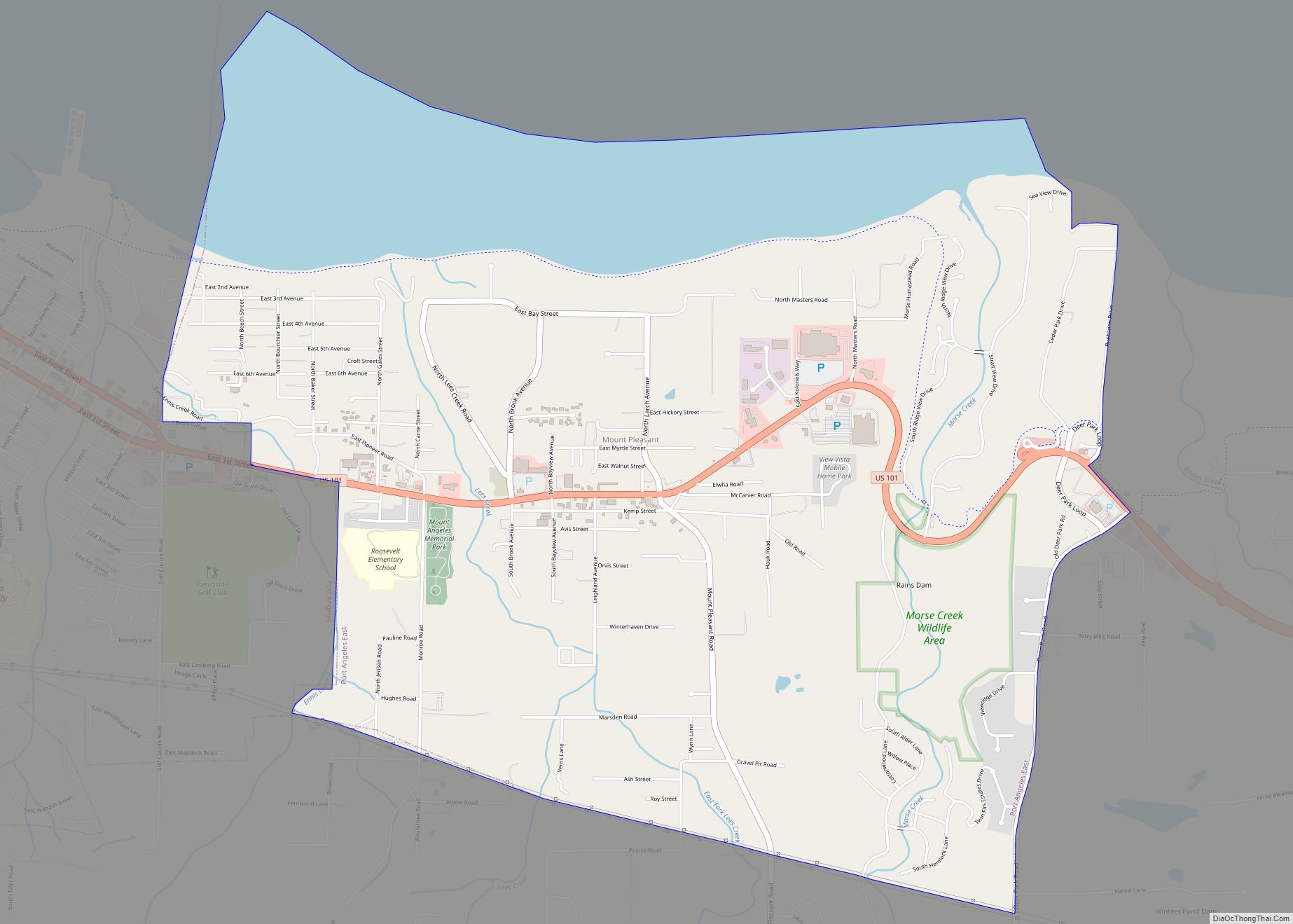
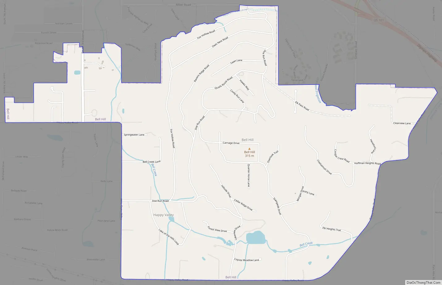
Bell Hill Road Map
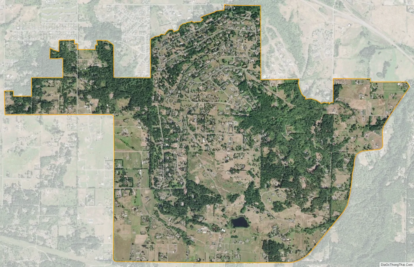
Bell Hill city Satellite Map
Geography
Bell Hill is located in eastern Clallam County at 48°3′53″N 123°5′36″W / 48.06472°N 123.09333°W / 48.06472; -123.09333 (48.064705, -123.093364), bordered to the north by the city of Sequim. The community is named for the hill that it sits on, which rises to an elevation of over 1,000 feet (300 m) above sea level, or more than 800 feet (240 m) above the center of Sequim. Bell Hill actually has two peaks, or hillocks. The Eastern hillock is approximately 950 feet (290 m) above sea level. The Western hillock is relatively exposed, while the eastern hillock is forested with Douglas fir and Pacific madrone (madrone).
According to the United States Census Bureau, the Bell Hill CDP has a total area of 2.7 square miles (6.9 km), all land.
See also
Map of Washington State and its subdivision:- Adams
- Asotin
- Benton
- Chelan
- Clallam
- Clark
- Columbia
- Cowlitz
- Douglas
- Ferry
- Franklin
- Garfield
- Grant
- Grays Harbor
- Island
- Jefferson
- King
- Kitsap
- Kittitas
- Klickitat
- Lewis
- Lincoln
- Mason
- Okanogan
- Pacific
- Pend Oreille
- Pierce
- San Juan
- Skagit
- Skamania
- Snohomish
- Spokane
- Stevens
- Thurston
- Wahkiakum
- Walla Walla
- Whatcom
- Whitman
- Yakima
- Alabama
- Alaska
- Arizona
- Arkansas
- California
- Colorado
- Connecticut
- Delaware
- District of Columbia
- Florida
- Georgia
- Hawaii
- Idaho
- Illinois
- Indiana
- Iowa
- Kansas
- Kentucky
- Louisiana
- Maine
- Maryland
- Massachusetts
- Michigan
- Minnesota
- Mississippi
- Missouri
- Montana
- Nebraska
- Nevada
- New Hampshire
- New Jersey
- New Mexico
- New York
- North Carolina
- North Dakota
- Ohio
- Oklahoma
- Oregon
- Pennsylvania
- Rhode Island
- South Carolina
- South Dakota
- Tennessee
- Texas
- Utah
- Vermont
- Virginia
- Washington
- West Virginia
- Wisconsin
- Wyoming