Bingen is a city in Klickitat County, Washington, United States. The population was 712 at the 2010 census, a 6% increase over the 2000 census.
| Name: | Bingen city |
|---|---|
| LSAD Code: | 25 |
| LSAD Description: | city (suffix) |
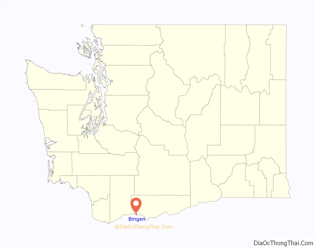
| State: | Washington |
| County: | Klickitat County |
| Elevation: | 131 ft (40 m) |
| Total Area: | 0.89 sq mi (2.30 km²) |
| Land Area: | 0.62 sq mi (1.61 km²) |
| Water Area: | 0.26 sq mi (0.68 km²) 11.43% |
| Total Population: | 712 |
| Population Density: | 1,191.01/sq mi (460.07/km²) |
| ZIP code: | 98605 |
| Area code: | 509 |
| FIPS code: | 5306085 |
| GNISfeature ID: | 1503378 |
| Website: | www.bingenwashington.org |
Online Interactive Map
Click on ![]() to view map in "full screen" mode.
to view map in "full screen" mode.
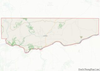
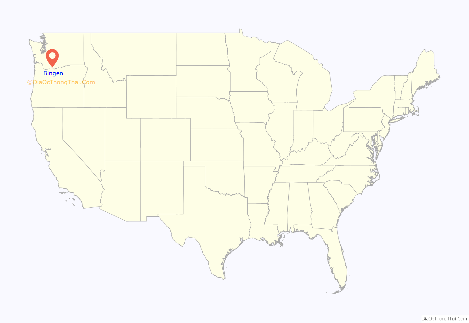
Bingen location map. Where is Bingen city?
History
Bingen was founded by P.J. Suksdorf in 1892, and named by him for Bingen am Rhein in Germany. Bingen was officially incorporated on April 18, 1924.
The name of the town is pronounced /ˈbɪndʒən/ (BIN-jen), despite the fact that its German namesake is pronounced /ˈbɪŋən/ (BING-en).
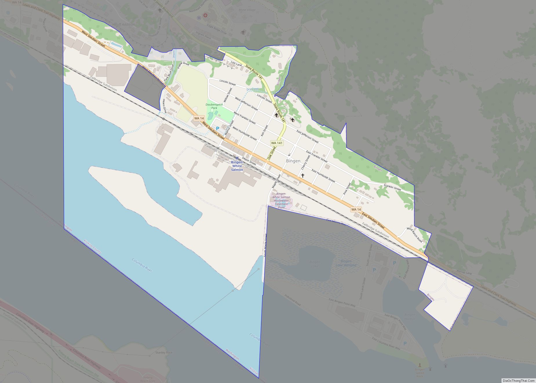
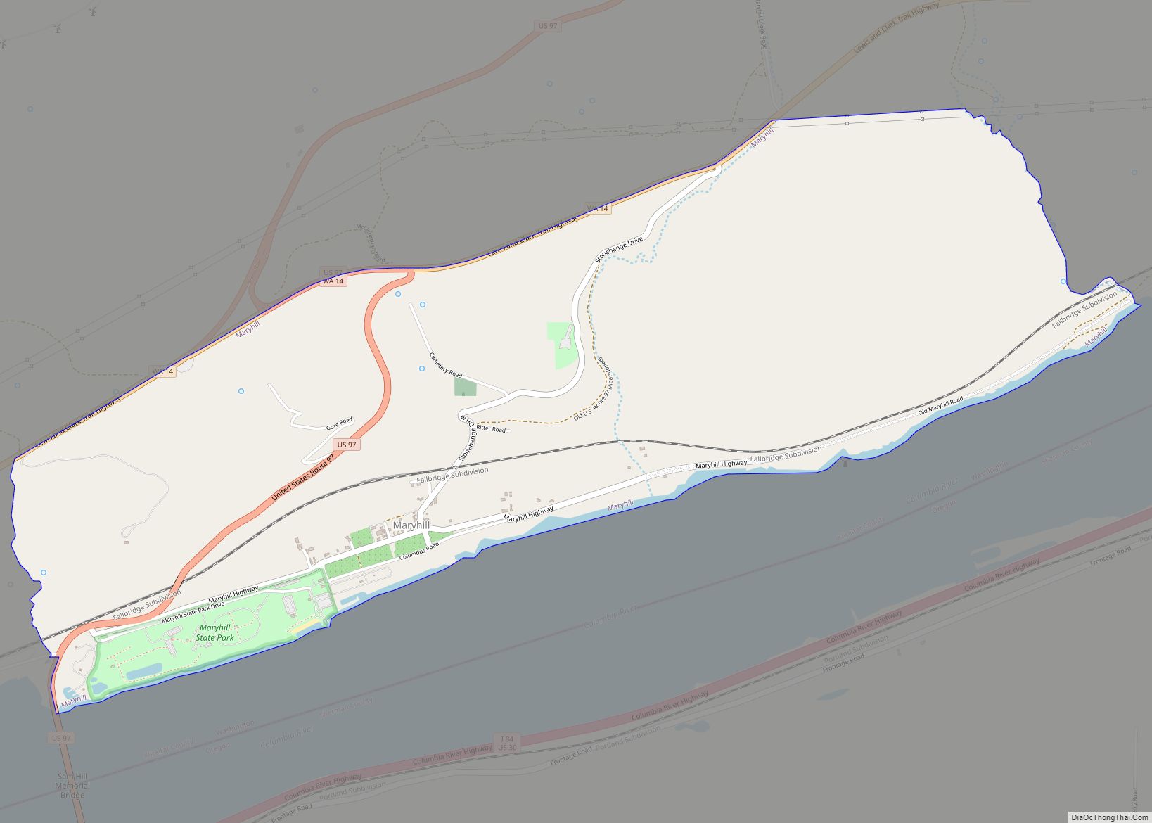
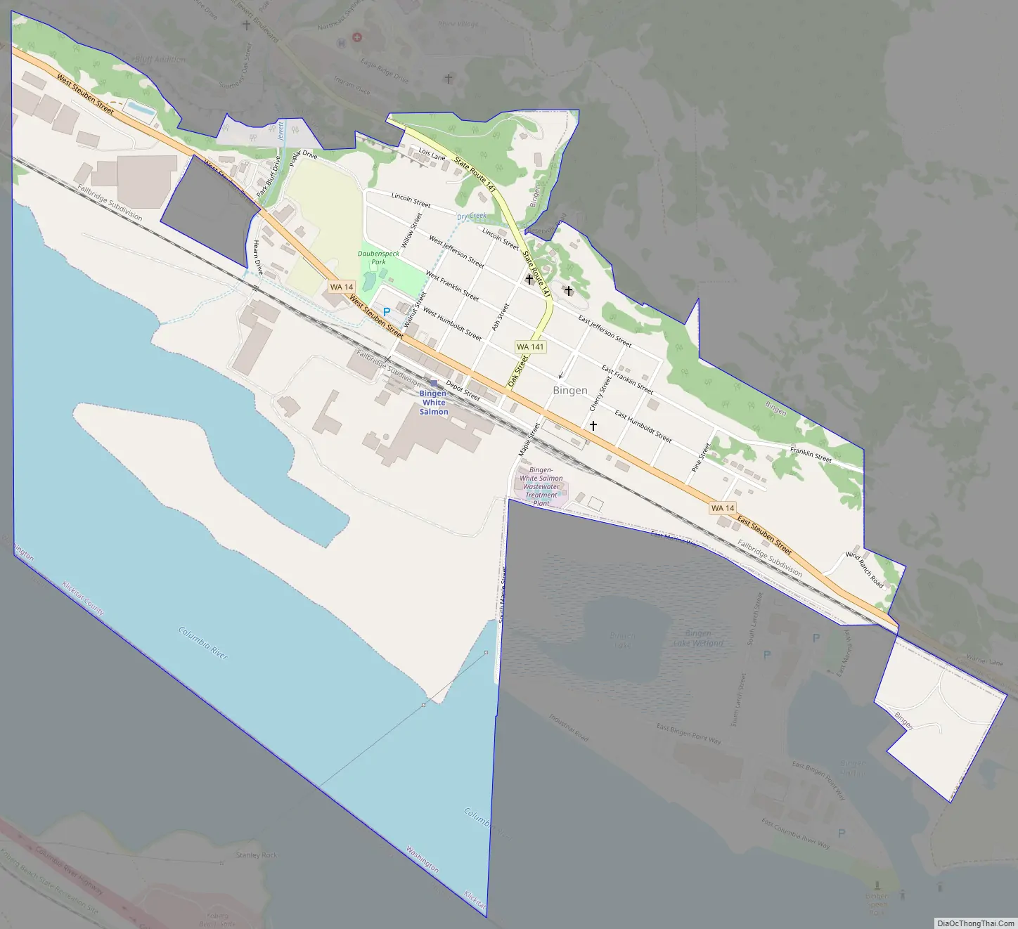
Bingen Road Map
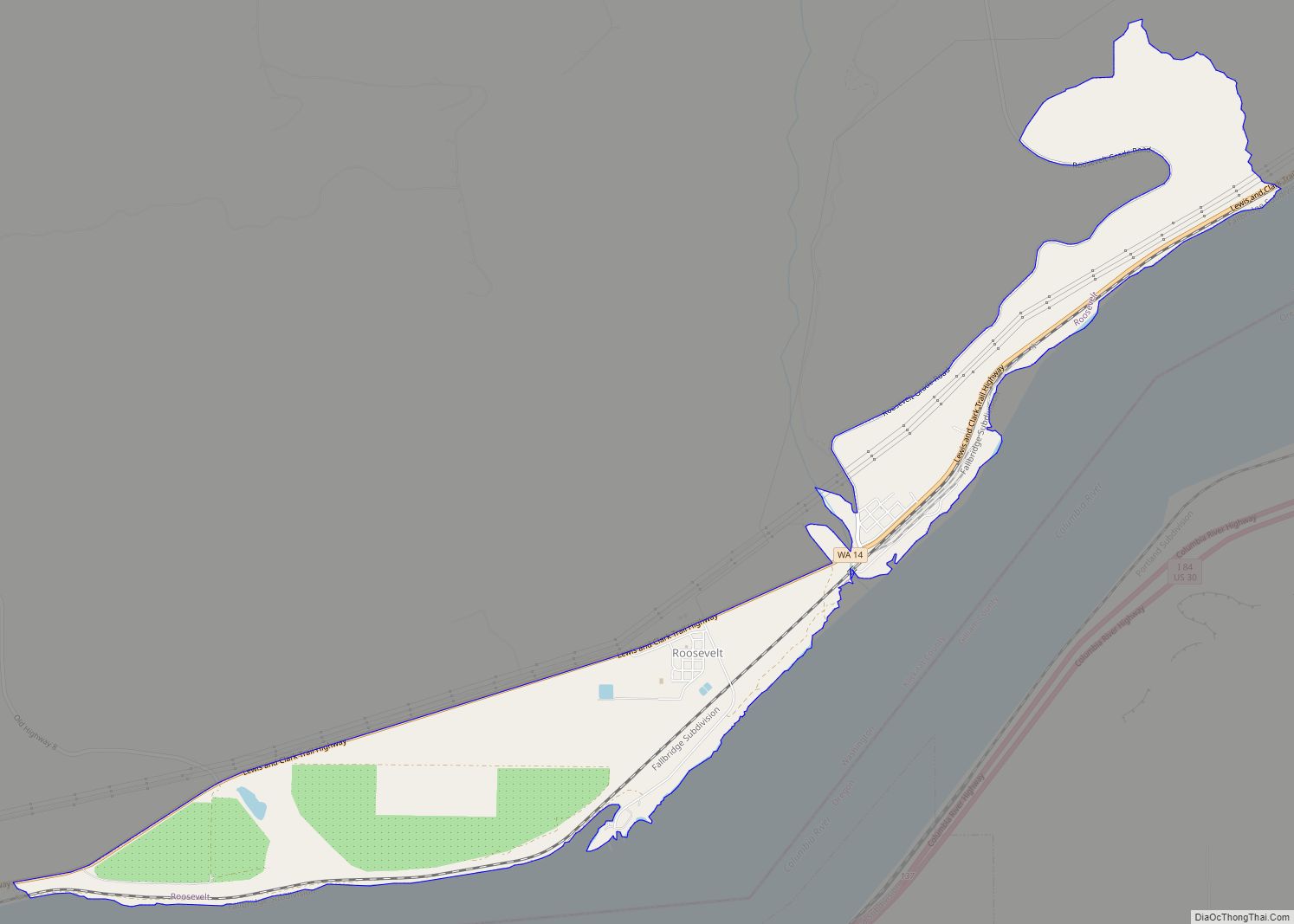
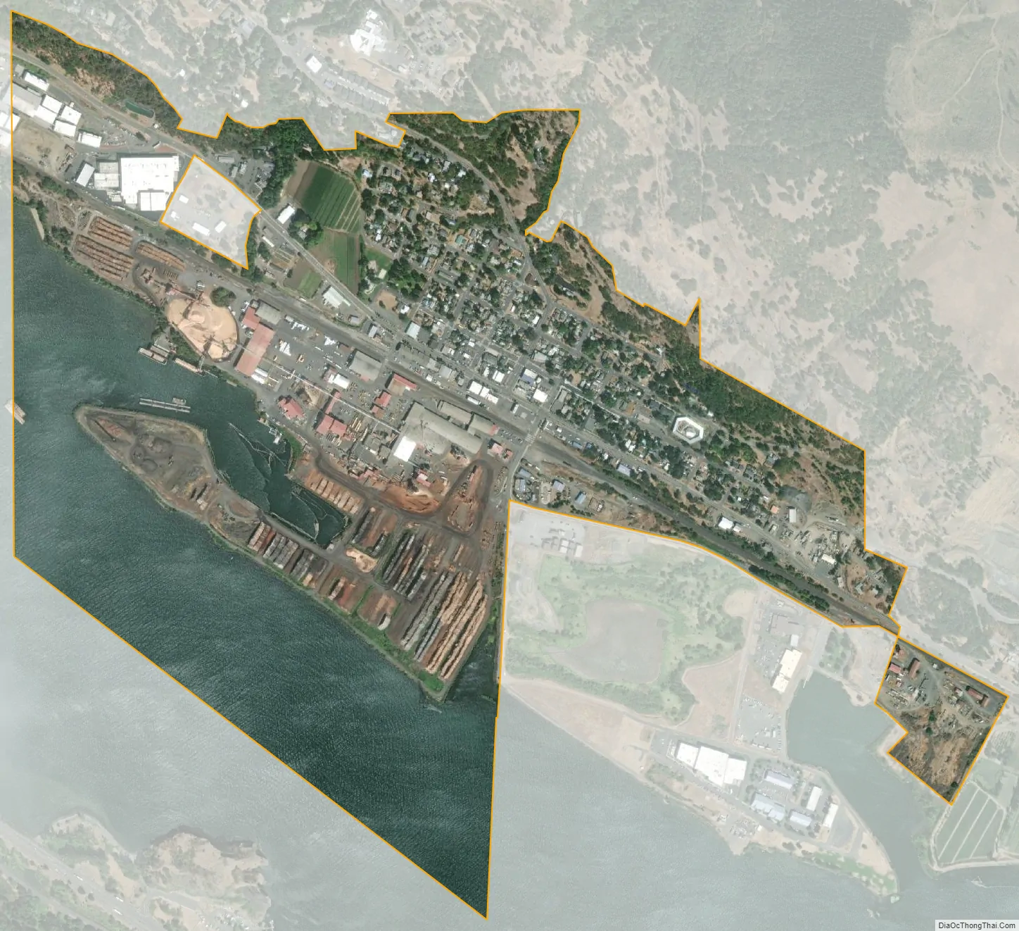
Bingen city Satellite Map
Geography
Bingen is located at 45°42′55″N 121°28′00″W / 45.715311°N 121.466790°W / 45.715311; -121.466790 (45.715311, -121.466790).
According to the United States Census Bureau, the city has a total area of 0.70 square miles (1.81 km), of which, 0.62 square miles (1.61 km) is land and 0.08 square miles (0.21 km) is water.
See also
Map of Washington State and its subdivision:- Adams
- Asotin
- Benton
- Chelan
- Clallam
- Clark
- Columbia
- Cowlitz
- Douglas
- Ferry
- Franklin
- Garfield
- Grant
- Grays Harbor
- Island
- Jefferson
- King
- Kitsap
- Kittitas
- Klickitat
- Lewis
- Lincoln
- Mason
- Okanogan
- Pacific
- Pend Oreille
- Pierce
- San Juan
- Skagit
- Skamania
- Snohomish
- Spokane
- Stevens
- Thurston
- Wahkiakum
- Walla Walla
- Whatcom
- Whitman
- Yakima
- Alabama
- Alaska
- Arizona
- Arkansas
- California
- Colorado
- Connecticut
- Delaware
- District of Columbia
- Florida
- Georgia
- Hawaii
- Idaho
- Illinois
- Indiana
- Iowa
- Kansas
- Kentucky
- Louisiana
- Maine
- Maryland
- Massachusetts
- Michigan
- Minnesota
- Mississippi
- Missouri
- Montana
- Nebraska
- Nevada
- New Hampshire
- New Jersey
- New Mexico
- New York
- North Carolina
- North Dakota
- Ohio
- Oklahoma
- Oregon
- Pennsylvania
- Rhode Island
- South Carolina
- South Dakota
- Tennessee
- Texas
- Utah
- Vermont
- Virginia
- Washington
- West Virginia
- Wisconsin
- Wyoming