Bonney Lake is a city in Pierce County, Washington. The population was 22,487 at the time of the 2020 census.
| Name: | Bonney Lake city |
|---|---|
| LSAD Code: | 25 |
| LSAD Description: | city (suffix) |
| State: | Washington |
| County: | Pierce County |
| Elevation: | 574 ft (175 m) |
| Total Area: | 8.29 sq mi (21.46 km²) |
| Land Area: | 8.22 sq mi (21.28 km²) |
| Water Area: | 0.07 sq mi (0.17 km²) |
| Total Population: | 22,487 |
| Population Density: | 2,573.38/sq mi (993.57/km²) |
| ZIP code: | 98391 |
| Area code: | 253 |
| FIPS code: | 5307170 |
| GNISfeature ID: | 1512017 |
| Website: | ci.bonney-lake.wa.us |
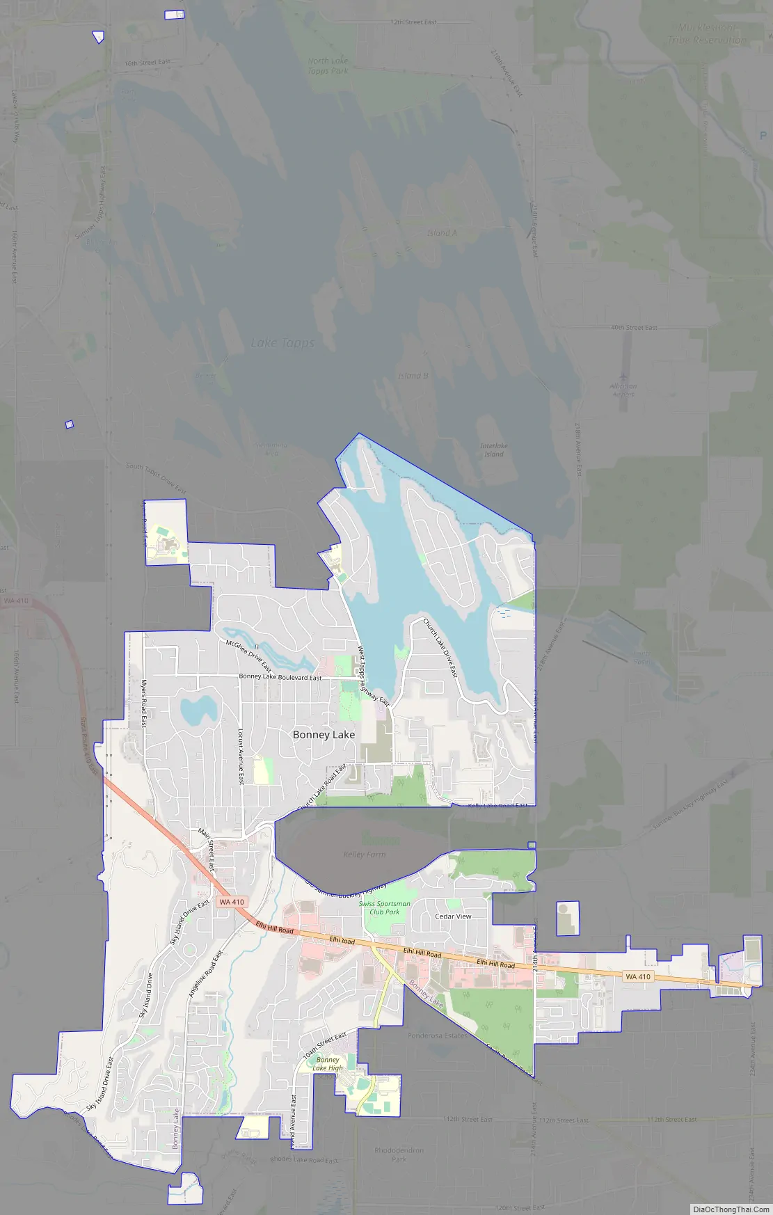
Online Interactive Map
Click on ![]() to view map in "full screen" mode.
to view map in "full screen" mode.
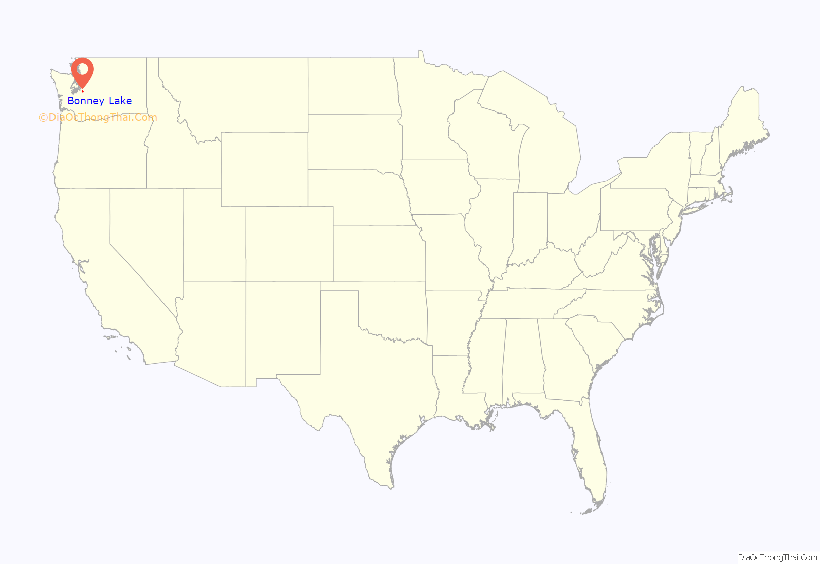
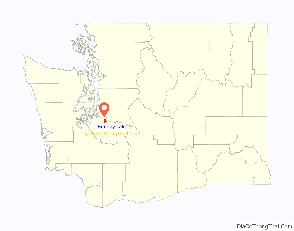
Bonney Lake location map. Where is Bonney Lake city?
History
Bonney Lake was incorporated as a town on February 28, 1949, after the establishment of a co-op venture to bring electricity and tap water service to local residents. Several unsuccessful attempts were made to disincorporate the town from 1952 to 1972.
The City of Bonney Lake and the Greater Bonney Lake Historical Society placed in 13 historical markers between 2009 and 2015, including one for the Naches Trail, which was a well-used immigrant and military trail during the later half of the 1800s.
The 2020 Washington Labor Day fires forced the evacuation of an estimated 2,500 residences. The fire spread across 500 acres, and the evacuation lasted from Tuesday, September 8 until the following Sunday, September 12.
In January 2022, Michael McCullough was inaugurated as Bonney Lake’s first new Mayor in fifteen years.
Bonney Lake Road Map
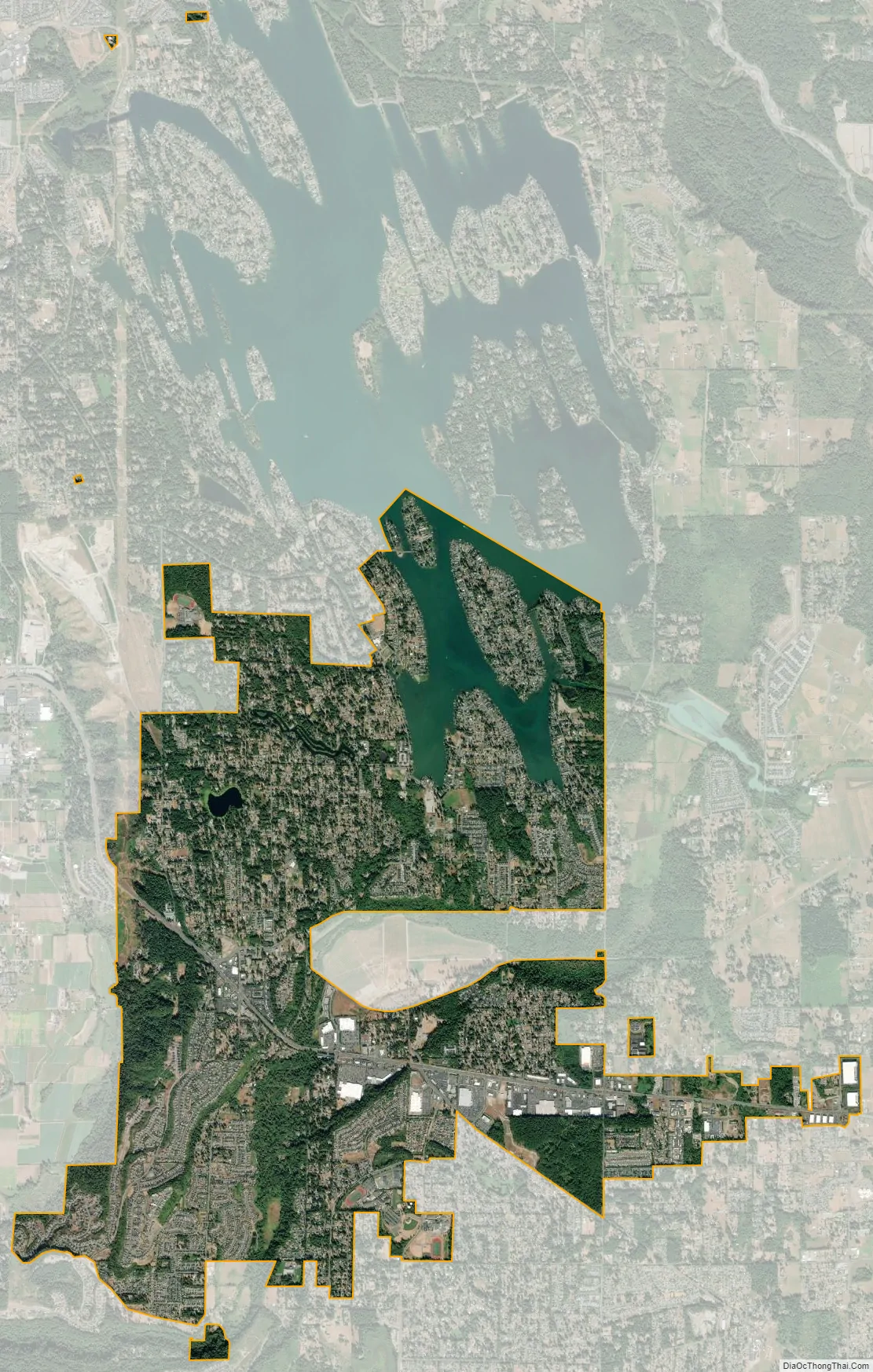
Bonney Lake city Satellite Map
Geography
Bonney Lake is located at 47°11′13″N 122°10′12″W / 47.187019°N 122.170035°W / 47.187019; -122.170035 (47.187019, −122.170035).
According to the United States Census Bureau, the city has a total area of 8.01 square miles (20.75 km), of which, 7.94 square miles (20.56 km) is land and 0.07 square miles (0.18 km) is water.
See also
Map of Washington State and its subdivision:- Adams
- Asotin
- Benton
- Chelan
- Clallam
- Clark
- Columbia
- Cowlitz
- Douglas
- Ferry
- Franklin
- Garfield
- Grant
- Grays Harbor
- Island
- Jefferson
- King
- Kitsap
- Kittitas
- Klickitat
- Lewis
- Lincoln
- Mason
- Okanogan
- Pacific
- Pend Oreille
- Pierce
- San Juan
- Skagit
- Skamania
- Snohomish
- Spokane
- Stevens
- Thurston
- Wahkiakum
- Walla Walla
- Whatcom
- Whitman
- Yakima
- Alabama
- Alaska
- Arizona
- Arkansas
- California
- Colorado
- Connecticut
- Delaware
- District of Columbia
- Florida
- Georgia
- Hawaii
- Idaho
- Illinois
- Indiana
- Iowa
- Kansas
- Kentucky
- Louisiana
- Maine
- Maryland
- Massachusetts
- Michigan
- Minnesota
- Mississippi
- Missouri
- Montana
- Nebraska
- Nevada
- New Hampshire
- New Jersey
- New Mexico
- New York
- North Carolina
- North Dakota
- Ohio
- Oklahoma
- Oregon
- Pennsylvania
- Rhode Island
- South Carolina
- South Dakota
- Tennessee
- Texas
- Utah
- Vermont
- Virginia
- Washington
- West Virginia
- Wisconsin
- Wyoming


