Bryn Mawr-Skyway (pronounced /ˌbrɪnˈmɑːr/ from Welsh for “big hill”) is a census-designated place (CDP) in King County, Washington, United States. The population was 17,397 at the 2020 census.
Bryn Mawr-Skyway was the only CDP in the Seattle metropolitan area to have reported a majority-minority population in the 2000 census. Since that time, the area has grown even more diverse. As of the 2010 census, the demographic composition of the Skyway area is almost evenly distributed between White, Black or African American, and Asian community members.
| Name: | Bryn Mawr-Skyway CDP |
|---|---|
| LSAD Code: | 57 |
| LSAD Description: | CDP (suffix) |
| State: | Washington |
| County: | King County |
| Elevation: | 420 ft (130 m) |
| Total Area: | 3.01 sq mi (7.80 km²) |
| Land Area: | 2.84 sq mi (7.35 km²) |
| Water Area: | 0.17 sq mi (0.45 km²) |
| Total Population: | 17,397 |
| Population Density: | 5,800/sq mi (2,200/km²) |
| ZIP code: | 98178 |
| FIPS code: | 5308552 |
| GNISfeature ID: | 2407916 |
Online Interactive Map
Click on ![]() to view map in "full screen" mode.
to view map in "full screen" mode.
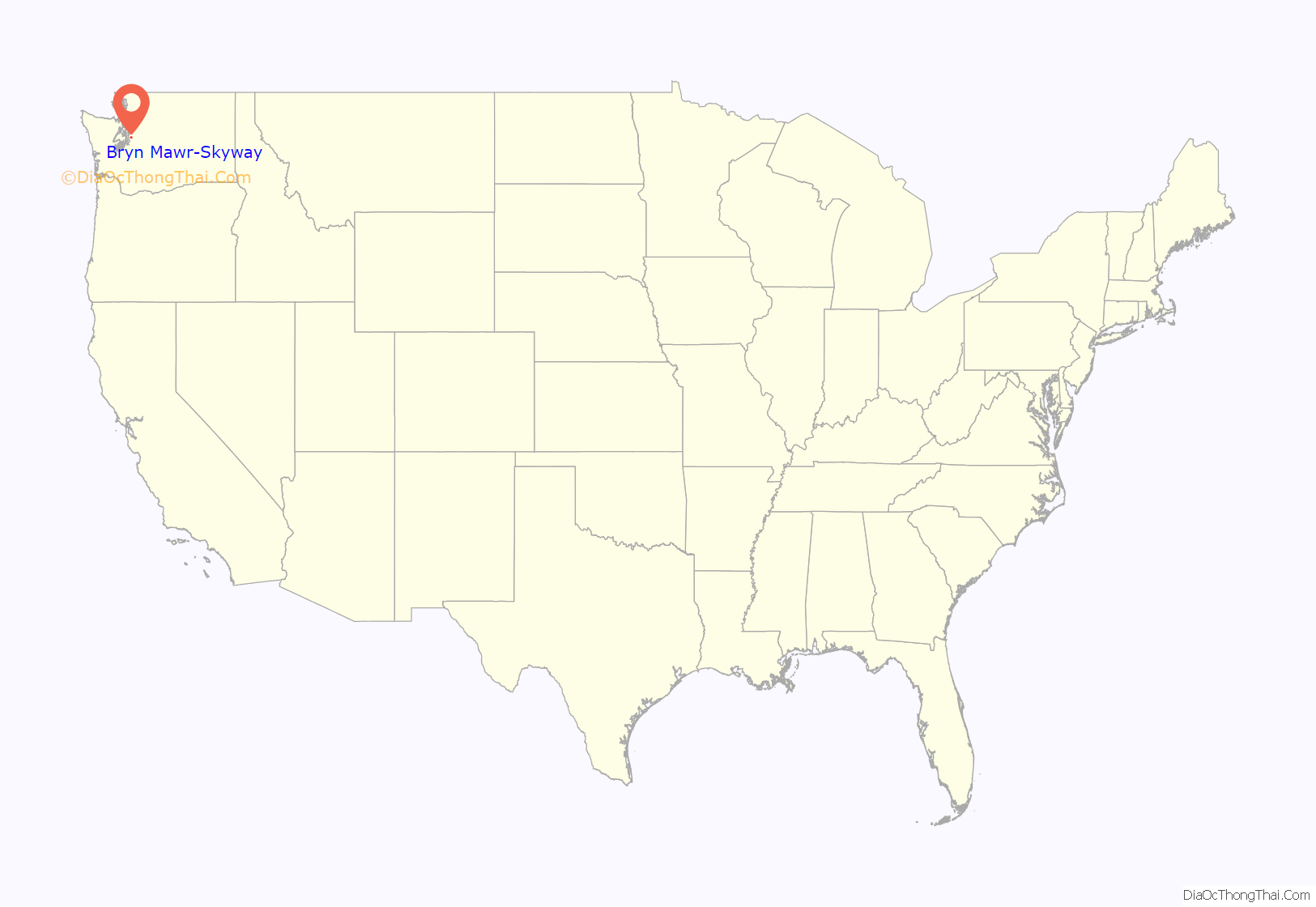
Bryn Mawr-Skyway location map. Where is Bryn Mawr-Skyway CDP?
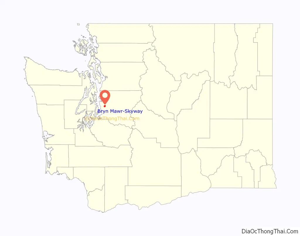
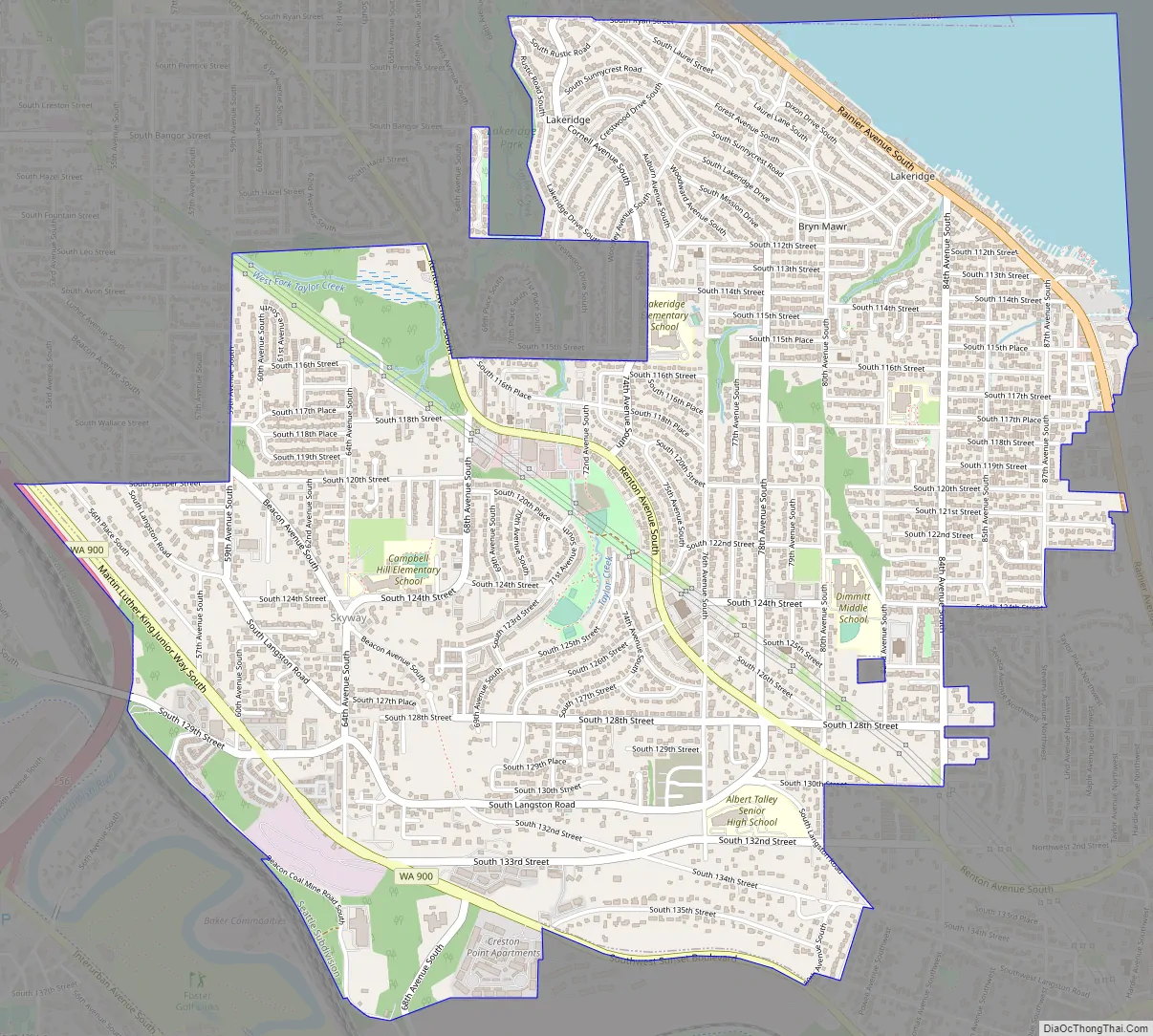
Bryn Mawr-Skyway Road Map
Bryn Mawr-Skyway city Satellite Map
Geography
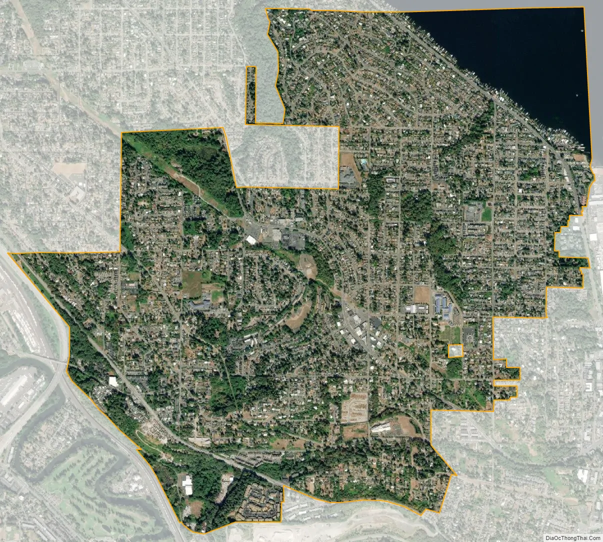
Skyway lies in an “unincorporated island” bordered to the north by the city of Seattle, to the west by Tukwila, and to the south and east by Renton. Though it is surrounded by major municipalities, its limited infrastructure and low-income demographics have made it an unattractive area to incorporate. It is frequently along the shortest route of travel for commuters using local streets to enter Seattle from the southeast. The neighborhood was mostly developed just after World War II as affordable housing for returning veterans. The area remains an affordable area close to the high employment areas of Renton and Seattle. The name “Skyway” may be derived from the area’s siting on a high ridge in western Washington’s hilly terrain, a name that echoes the Welsh “Bryn Mawr” (also the name used for a village and several other places), which means “big hill”.
Skyway’s main business districts lie along Renton Avenue South, with one center between 68th Avenue South and 74th Avenue South, including a small casino, bowling alley, and a grocery outlet, and another district between 75th Avenue South and 78th Avenue South, including a bank branch, the fire station, multiple churches, a 7-11, some auto shops, and the public library (a branch of the King County Library System). There is also a small business district centered at Martin Luther King Way South (State Route 900) around South 129th Street. Skyway Park, with baseball fields, a creek and wetlands, and picnic areas, is located near the center of Skyway.
The Bryn Mawr-Skyway CDP is made up of many neighborhoods, including Lakeridge, Campbell Hill and Earlington, in addition to the neighborhoods of Skyway and Bryn Mawr. The community is sometimes called “West Hill”.
Bryn Mawr-Skyway is located at 47°29′40″N 122°14′12″W / 47.494571°N 122.236557°W / 47.494571; -122.236557 (47.494571, -122.236557). According to the United States Census Bureau, the CDP has a total area of 3.0 square miles (7.8 km), of which 2.9 square miles (7.4 km) are land and 0.2 square miles (0.4 km), or 5.73%, are water.
See also
Map of Washington State and its subdivision:- Adams
- Asotin
- Benton
- Chelan
- Clallam
- Clark
- Columbia
- Cowlitz
- Douglas
- Ferry
- Franklin
- Garfield
- Grant
- Grays Harbor
- Island
- Jefferson
- King
- Kitsap
- Kittitas
- Klickitat
- Lewis
- Lincoln
- Mason
- Okanogan
- Pacific
- Pend Oreille
- Pierce
- San Juan
- Skagit
- Skamania
- Snohomish
- Spokane
- Stevens
- Thurston
- Wahkiakum
- Walla Walla
- Whatcom
- Whitman
- Yakima
- Alabama
- Alaska
- Arizona
- Arkansas
- California
- Colorado
- Connecticut
- Delaware
- District of Columbia
- Florida
- Georgia
- Hawaii
- Idaho
- Illinois
- Indiana
- Iowa
- Kansas
- Kentucky
- Louisiana
- Maine
- Maryland
- Massachusetts
- Michigan
- Minnesota
- Mississippi
- Missouri
- Montana
- Nebraska
- Nevada
- New Hampshire
- New Jersey
- New Mexico
- New York
- North Carolina
- North Dakota
- Ohio
- Oklahoma
- Oregon
- Pennsylvania
- Rhode Island
- South Carolina
- South Dakota
- Tennessee
- Texas
- Utah
- Vermont
- Virginia
- Washington
- West Virginia
- Wisconsin
- Wyoming


