Carnation is a city in King County, Washington, United States. The population was 2,158 at the 2020 census. It was historically known as Tolt (Lushootseed: tultxʷ) and lies at the confluence of the Snoqualmie and Tolt rivers. The city is located east of Redmond and south of Duvall on State Route 203.
| Name: | Carnation city |
|---|---|
| LSAD Code: | 25 |
| LSAD Description: | city (suffix) |
| State: | Washington |
| County: | King County |
| Elevation: | 82 ft (25 m) |
| Total Area: | 1.18 sq mi (3.07 km²) |
| Land Area: | 1.16 sq mi (3.00 km²) |
| Water Area: | 0.03 sq mi (0.07 km²) |
| Total Population: | 2,158 |
| Population Density: | 1,970.64/sq mi (761.00/km²) |
| ZIP code: | 98014 |
| Area code: | 425 |
| FIPS code: | 5310215 |
| GNISfeature ID: | 1530825 |
| Website: | carnationwa.gov |
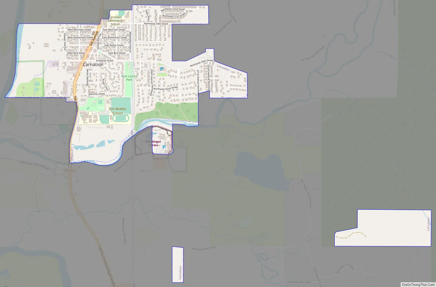
Online Interactive Map
Click on ![]() to view map in "full screen" mode.
to view map in "full screen" mode.
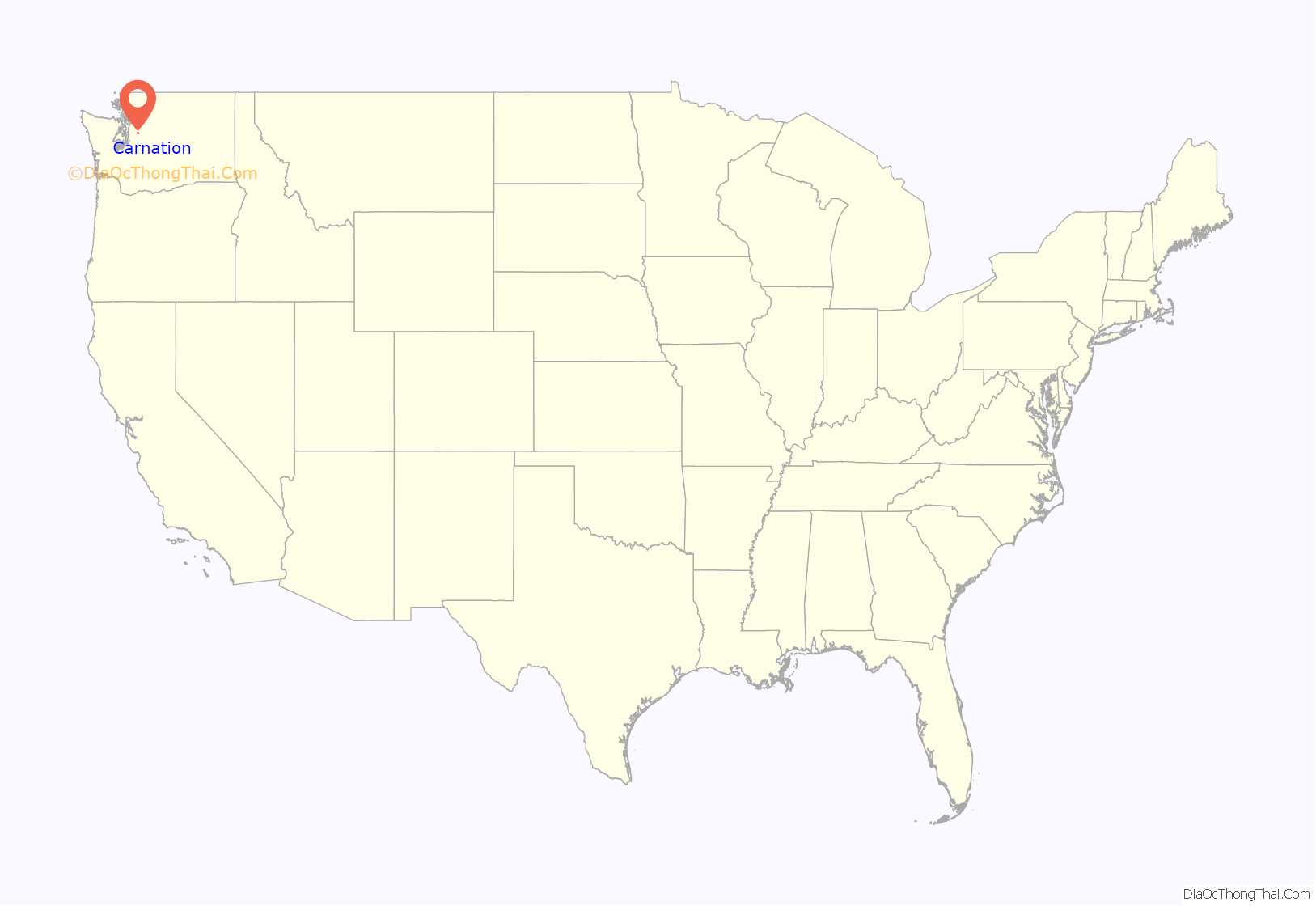
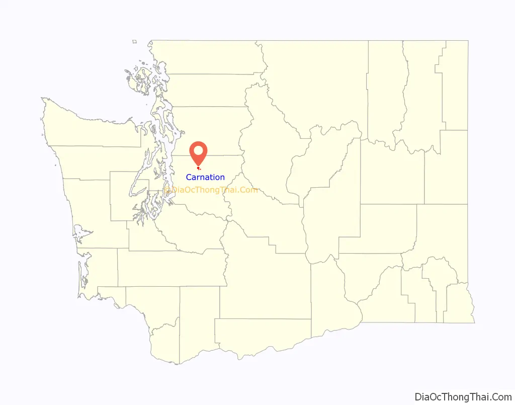
Carnation location map. Where is Carnation city?
History
The Snoqualmie Valley was settled by Americans in the 1850s and 1860s following the relocation of the Snoqualmie tribe to reservations. The community of Tolt, an Anglicized name for the Tolthue River (túlq or tultxʷ), was founded in 1865 and platted in 1902. Tolt was incorporated as a town on December 30, 1912, shortly after the arrival of the Milwaukee Road, which provided train connections to Monroe in the north.
The valley was home to several dairy farms established in the 1900s, including a research farm for the Carnation Evaporated Milk Company. Following lobbying from the company and the approval of the state legislature, Tolt was renamed to “Carnation” in 1917. The renaming of the town was opposed by local residents and members of the Snoqualmie tribe, and later changed back to Tolt on May 3, 1928. The “Carnation” name remained on the post office and train depot, and continued to be used by outsiders. Tolt was then renamed back to “Carnation” on October 29, 1951. During the late 20th century, Carnation moved away from dairy farming and became a community for job centers in the Eastside, growing to a population of 2,158 by 2020.
Carnation Road Map
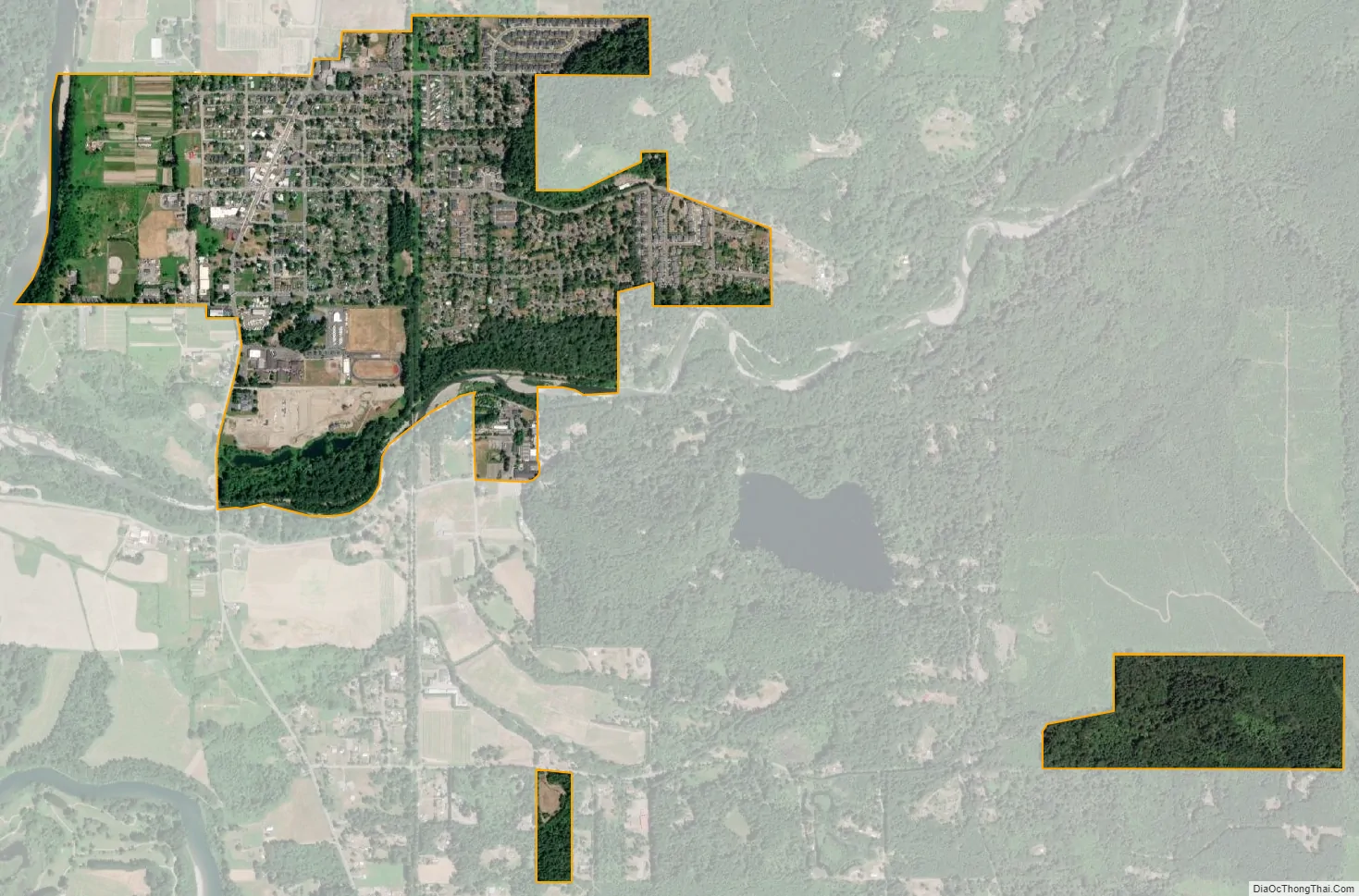
Carnation city Satellite Map
Geography
Carnation lies in the Snoqualmie Valley between Duvall and Fall City. It is on the east bank of the Snoqualmie River just north of its junction with the Tolt River.
According to the United States Census Bureau, the city has a total area of 1.18 square miles (3.06 km), of which, 1.16 square miles (3.00 km) is land and 0.02 square miles (0.05 km) is water.
Climate
Carnation has a oceanic climate (Köppen Cfb).
See also
Map of Washington State and its subdivision:- Adams
- Asotin
- Benton
- Chelan
- Clallam
- Clark
- Columbia
- Cowlitz
- Douglas
- Ferry
- Franklin
- Garfield
- Grant
- Grays Harbor
- Island
- Jefferson
- King
- Kitsap
- Kittitas
- Klickitat
- Lewis
- Lincoln
- Mason
- Okanogan
- Pacific
- Pend Oreille
- Pierce
- San Juan
- Skagit
- Skamania
- Snohomish
- Spokane
- Stevens
- Thurston
- Wahkiakum
- Walla Walla
- Whatcom
- Whitman
- Yakima
- Alabama
- Alaska
- Arizona
- Arkansas
- California
- Colorado
- Connecticut
- Delaware
- District of Columbia
- Florida
- Georgia
- Hawaii
- Idaho
- Illinois
- Indiana
- Iowa
- Kansas
- Kentucky
- Louisiana
- Maine
- Maryland
- Massachusetts
- Michigan
- Minnesota
- Mississippi
- Missouri
- Montana
- Nebraska
- Nevada
- New Hampshire
- New Jersey
- New Mexico
- New York
- North Carolina
- North Dakota
- Ohio
- Oklahoma
- Oregon
- Pennsylvania
- Rhode Island
- South Carolina
- South Dakota
- Tennessee
- Texas
- Utah
- Vermont
- Virginia
- Washington
- West Virginia
- Wisconsin
- Wyoming


