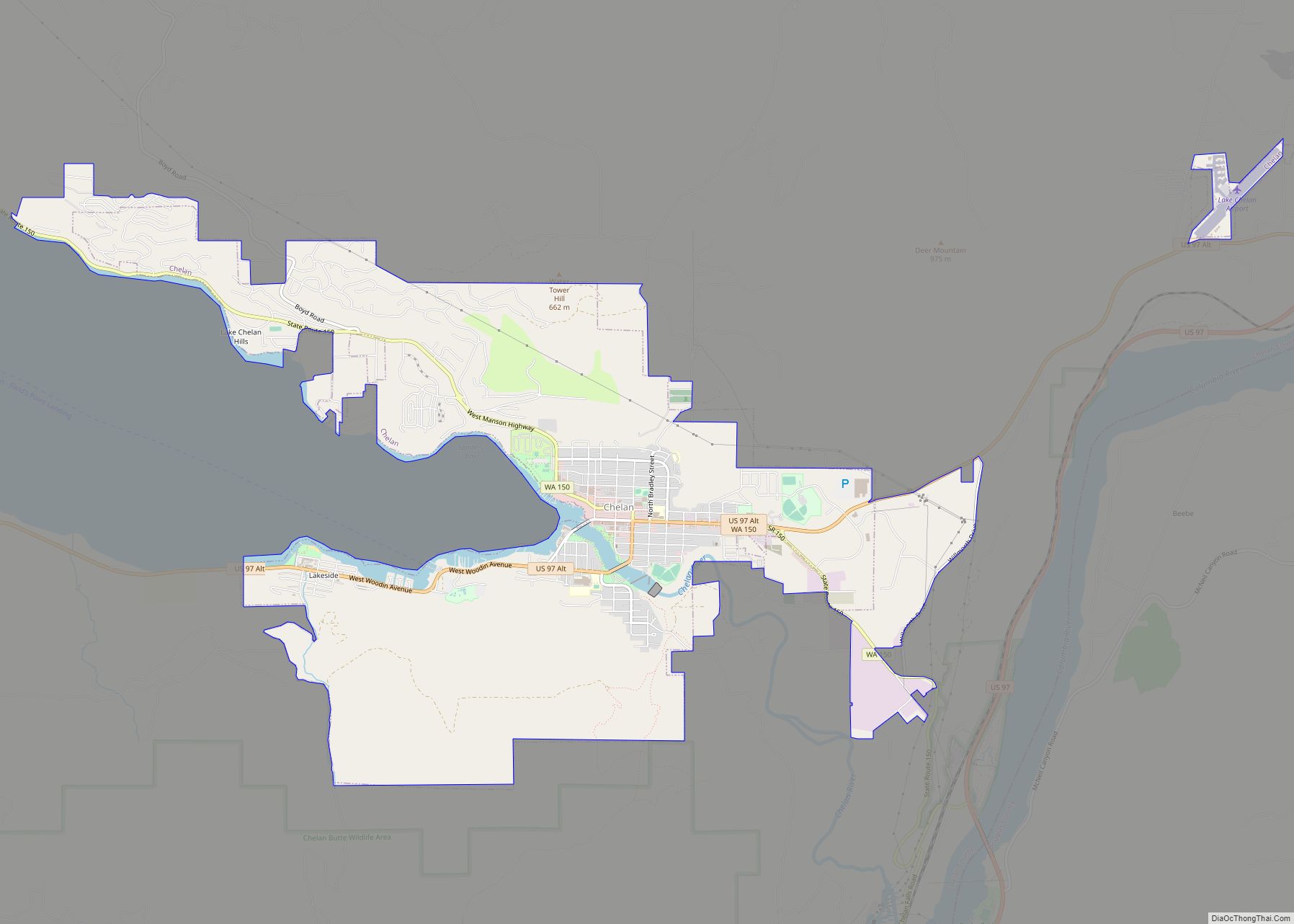
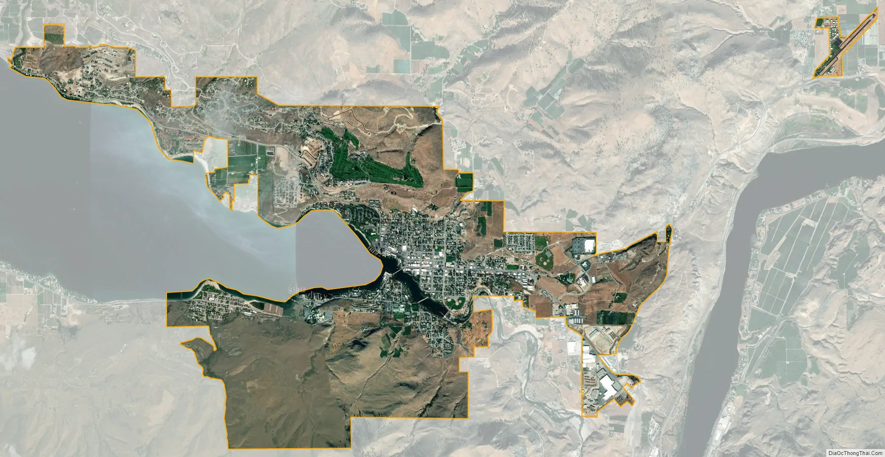
Chelan (/ʃəˈlæn/ shə-LAN) is a city in Chelan County, Washington, United States. The estimated population was 4,222 at the 2020 census. It lies on the southeast tip of Lake Chelan, where the lake flows into the Chelan River.
Chelan is part of the Wenatchee−East Wenatchee Metropolitan Statistical Area.
| Name: | Chelan city |
|---|---|
| LSAD Code: | 25 |
| LSAD Description: | city (suffix) |
| State: | Washington |
| County: | Chelan County |
| Elevation: | 1,129 ft (344 m) |
| Land Area: | 6.69 sq mi (17.32 km²) |
| Water Area: | 0.17 sq mi (0.45 km²) |
| Population Density: | 633.43/sq mi (244.57/km²) |
| ZIP code: | 98816 |
| Area code: | 509 |
| FIPS code: | 5311615 |
| GNISfeature ID: | 1530831 |
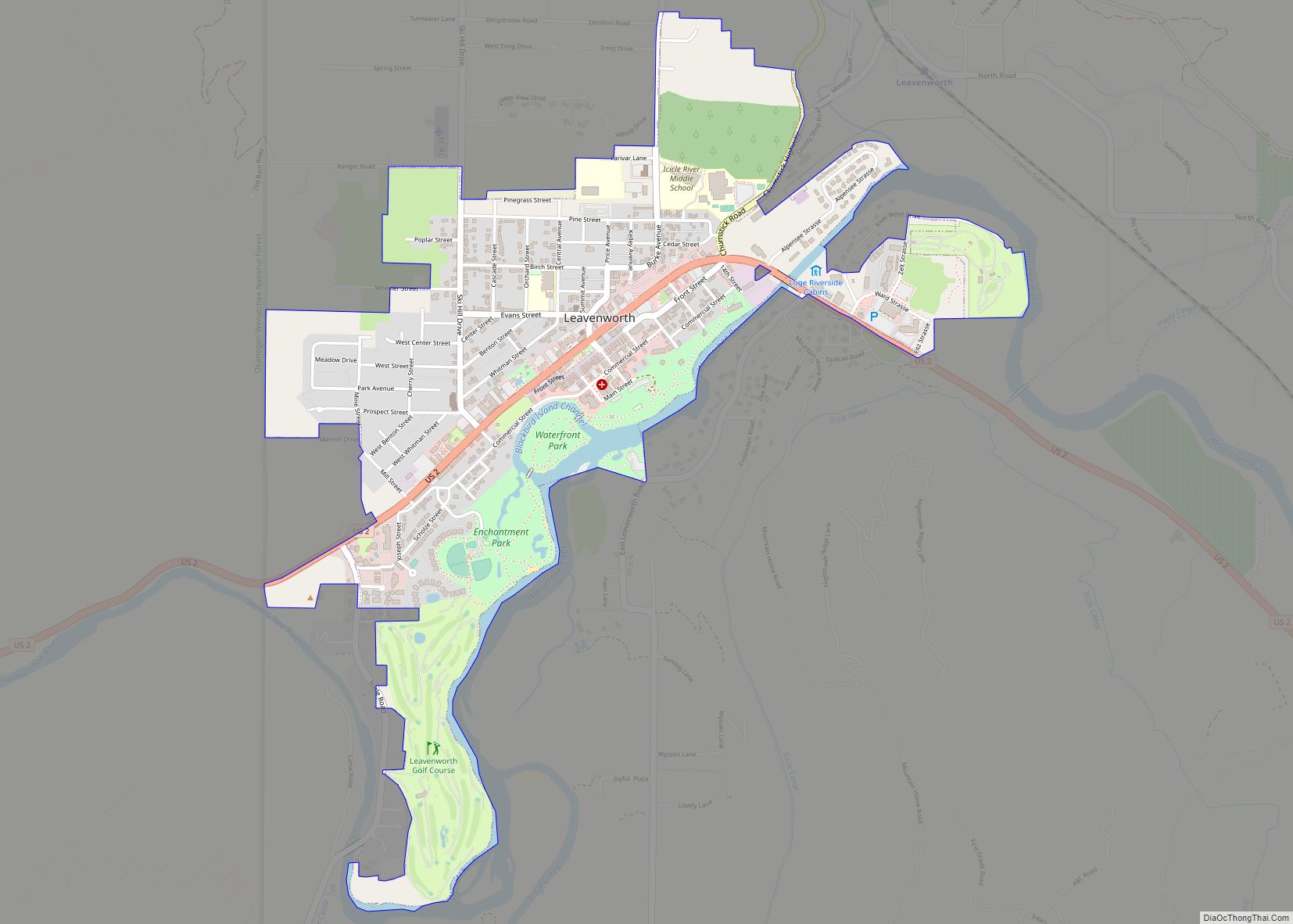
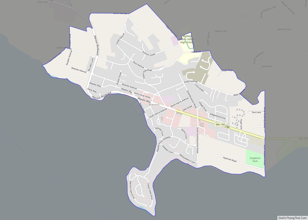
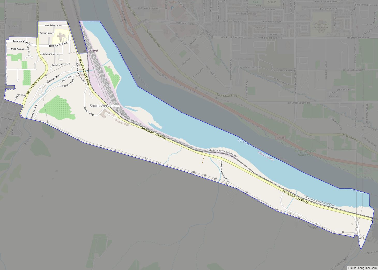
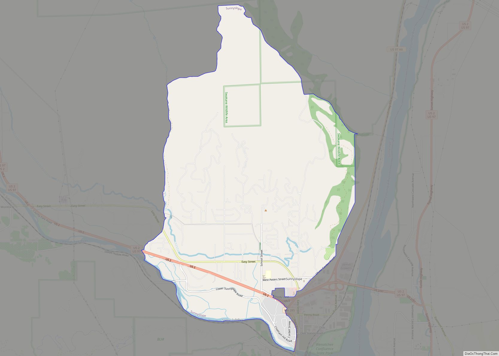
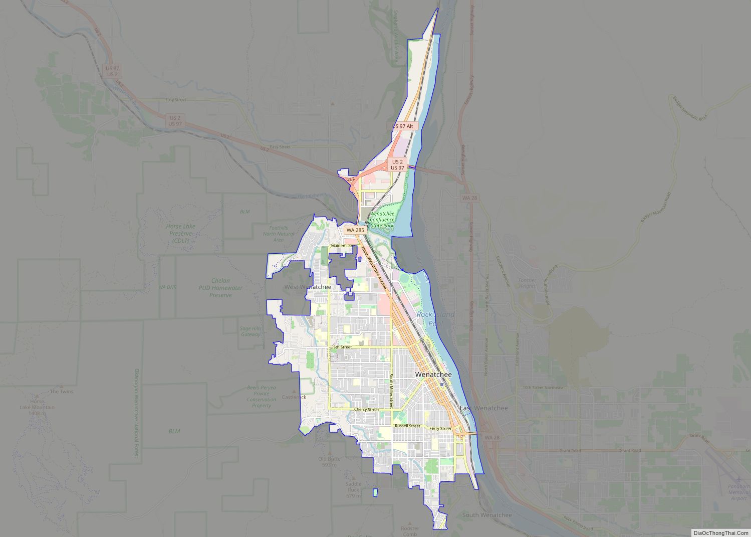
Online Interactive Map
Click on ![]() to view map in "full screen" mode.
to view map in "full screen" mode.
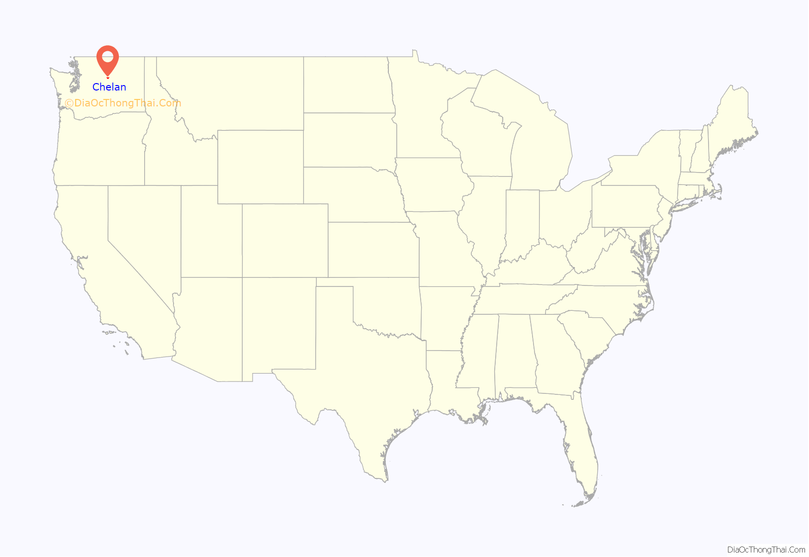
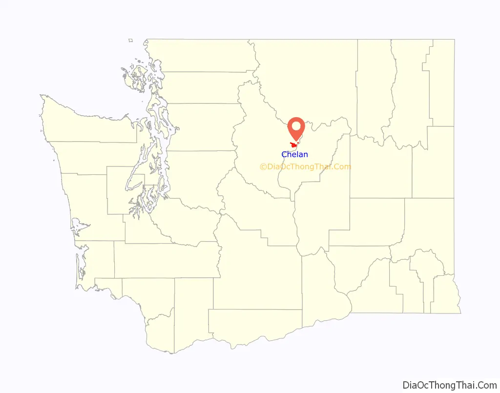
Chelan location map. Where is Chelan city?
History
The original inhabitants of the Chelan area were the Chelan, a tribe of Salish-speaking Native Americans. Relatively little is known about the culture and lifestyle of the early Chelan, as the tribe had adopted the dress, beadwork, and equestrian culture of the Plains Indians by the time of European contact. Infectious diseases including smallpox and measles arrived sometime prior to white settlement of the area, and had killed an estimated 90% of the Indians by the time explorer David Thompson arrived on the Columbia in 1811.
Until this point tribal decision-making had been carried out by small family groups as opposed to a single chief. But as whites began to settle in the area, the Indians recognized that consolidation of power in a single representative would help them maintain control of their ancestral lands. Though not a Chelan Indian himself, Chief Moses (a Shahaptin, not Salish speaker from the Columbia Basin and Okanagan) agreed to represent the tribe and was nearly successful in securing them a large Indian reservation. However, the tribe’s relatively low population meant that they were largely unable to defend their territory from the ever-increasing number of miners looking for riches in the mountains. As the unrest continued into the 1870s, Lt. Colonel Henry Clay Merriam of the United States Army established Camp Chelan at the foot of Lake Chelan to control and safeguard the Indian population on the Moses Columbia Reservation. The lake was largely inaccessible because of its sheer cliffs on most sides, so a makeshift road was built from the fort to the Columbia River where a courier and mail service from Walla Walla were established. The fort operated for about a year and was abandoned in October 1880 when the troops relocated to Fort Spokane.
The first European settlers in the area were William Sanders (after whom one of main streets in Chelan is named) and Henry Dumpke, who arrived in 1886. After traversing several cliffs and streams and losing their horse, they safely arrived at the foot of the lake and were welcomed by the natives who encouraged them to stake claims. The presence of these settlers paved the way for more settlers to move to the valley. In 1888, Minneapolis realtor and lumber broker L.H. Woodin, after whom another street is now named, arrived in the valley and paddled up the lake in a skiff. Impressed by the area, Woodin constructed a sawmill at the foot of the lake. At the same time, local ranchers were beginning to discover that orchards could be planted without the need of irrigation.
The town was platted and lots sold quickly. A post office was established in 1890. A school was built in 1892, followed by a resort hotel which took advantage of the area’s natural beauty. Following the Panic of 1893, Chelan fell on hard times but fared better than some other towns. The town’s first bank was established in 1893. Chelan was officially incorporated on May 7, 1902. In 1903, the city gained electric lights and water service via nearby Donaldson Springs. Chelan’s first town hall was constructed in 1904 and destroyed by fire in 1927. The town continues to grow as an agricultural center and resort community which helps it thrive to this day.
Chelan Road Map
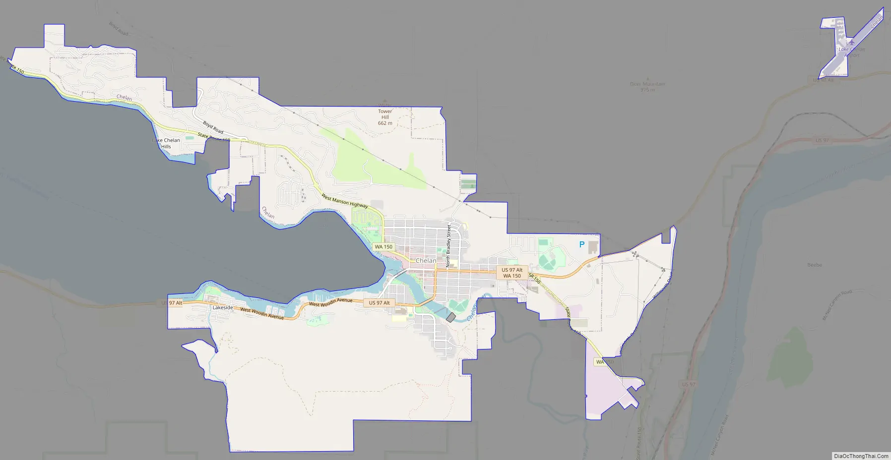
Chelan city Satellite Map
Geography
Chelan is located at 47°50′34″N 120°1′17″W / 47.84278°N 120.02139°W / 47.84278; -120.02139 (47.842858, -120.021312).
According to the United States Census Bureau, the city has a total area of 6.35 square miles (16.45 km), of which, 6.29 square miles (16.29 km) is land and 0.06 square miles (0.16 km) is water.
See also
Map of Washington State and its subdivision:- Adams
- Asotin
- Benton
- Chelan
- Clallam
- Clark
- Columbia
- Cowlitz
- Douglas
- Ferry
- Franklin
- Garfield
- Grant
- Grays Harbor
- Island
- Jefferson
- King
- Kitsap
- Kittitas
- Klickitat
- Lewis
- Lincoln
- Mason
- Okanogan
- Pacific
- Pend Oreille
- Pierce
- San Juan
- Skagit
- Skamania
- Snohomish
- Spokane
- Stevens
- Thurston
- Wahkiakum
- Walla Walla
- Whatcom
- Whitman
- Yakima
- Alabama
- Alaska
- Arizona
- Arkansas
- California
- Colorado
- Connecticut
- Delaware
- District of Columbia
- Florida
- Georgia
- Hawaii
- Idaho
- Illinois
- Indiana
- Iowa
- Kansas
- Kentucky
- Louisiana
- Maine
- Maryland
- Massachusetts
- Michigan
- Minnesota
- Mississippi
- Missouri
- Montana
- Nebraska
- Nevada
- New Hampshire
- New Jersey
- New Mexico
- New York
- North Carolina
- North Dakota
- Ohio
- Oklahoma
- Oregon
- Pennsylvania
- Rhode Island
- South Carolina
- South Dakota
- Tennessee
- Texas
- Utah
- Vermont
- Virginia
- Washington
- West Virginia
- Wisconsin
- Wyoming