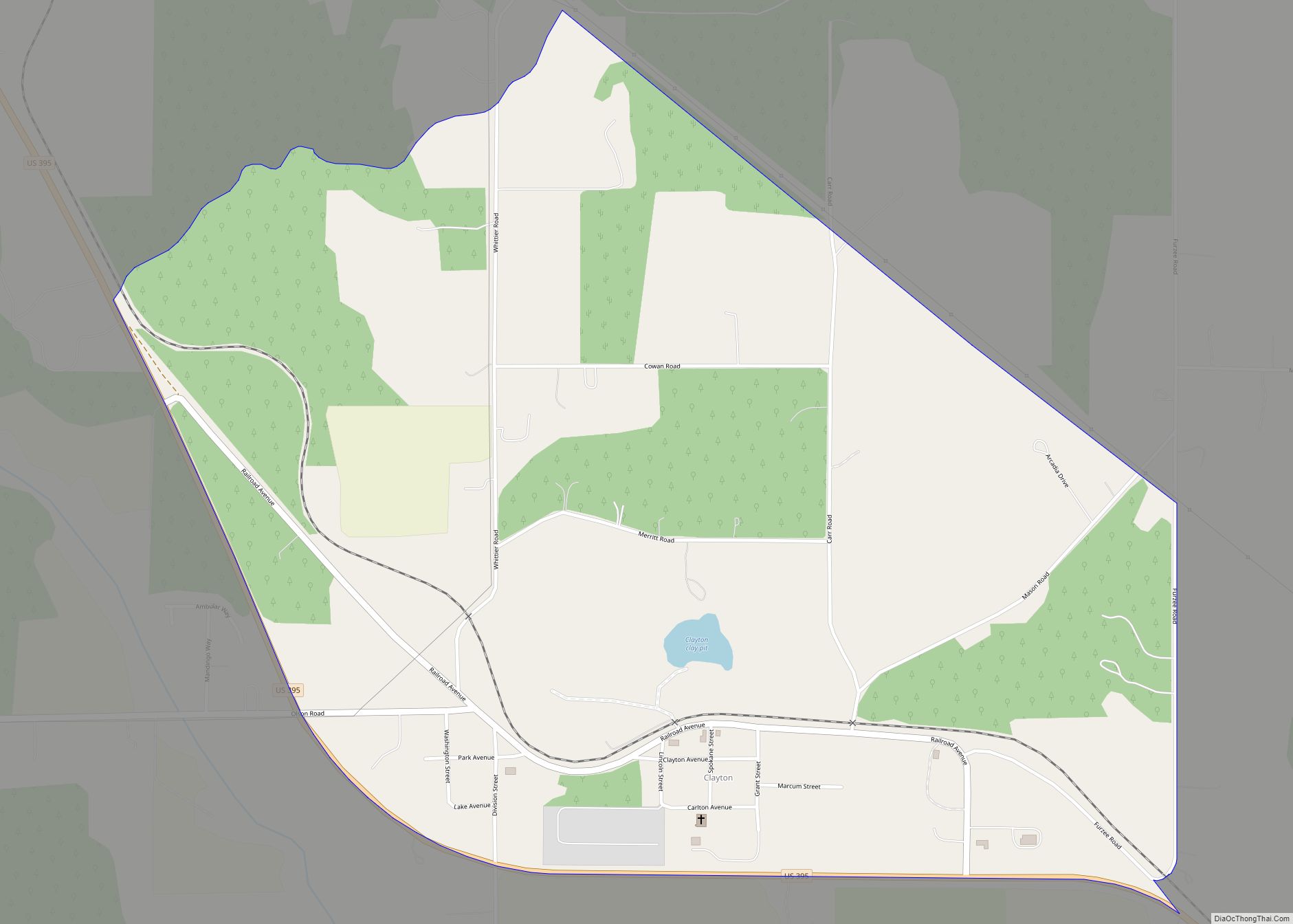
Clayton is an unincorporated community and census-designated place in Stevens County, Washington, United States. It is located along U.S. Route 395 4.5 miles (7.2 km) northwest of Deer Park, and has a post office with ZIP code 99110.
Clayton was founded in 1889 and was named for nearby clay deposits. The Washington Brick Company was established in 1893. It, along with most of the town, was lost to a catastrophic fire in 1908, but the town rebuilt, and the new Washington Brick, Lime, and Sewer Pipe company became noted for its high-quality products, including beautiful decorative terra cotta panels, which were crafted largely by skilled artisans who had immigrated to Washington from northern Italy.
Clayton was listed as a census-designated place for the 2010 census and has a population of 443. The median household income is about $32,000. The average annual temperature is about 47 °F, which is approximately 7 °F lower than the average temperature throughout the United States. The average age of residents is 28 years old, 9 years younger than the U.S. average.
| Name: | Clayton CDP |
|---|---|
| LSAD Code: | 57 |
| LSAD Description: | CDP (suffix) |
| State: | Washington |
| County: | Stevens County |
| Elevation: | 2,254 ft (687 m) |
| ZIP code: | 99110 |
| Area code: | 509 |
| FIPS code: | 5312735 |
| GNISfeature ID: | 1504000 |
Online Interactive Map
Click on ![]() to view map in "full screen" mode.
to view map in "full screen" mode.
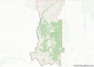
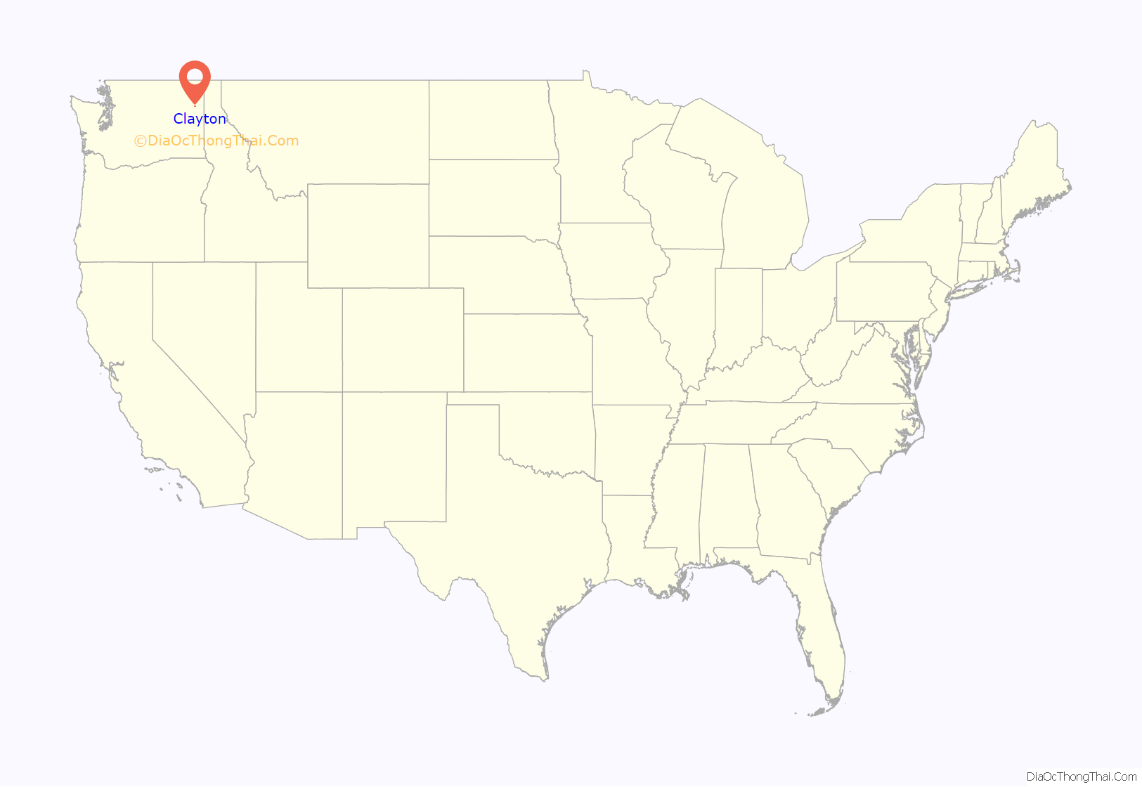
Clayton location map. Where is Clayton CDP?
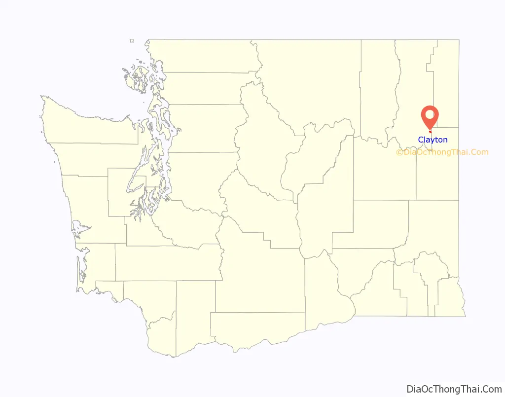
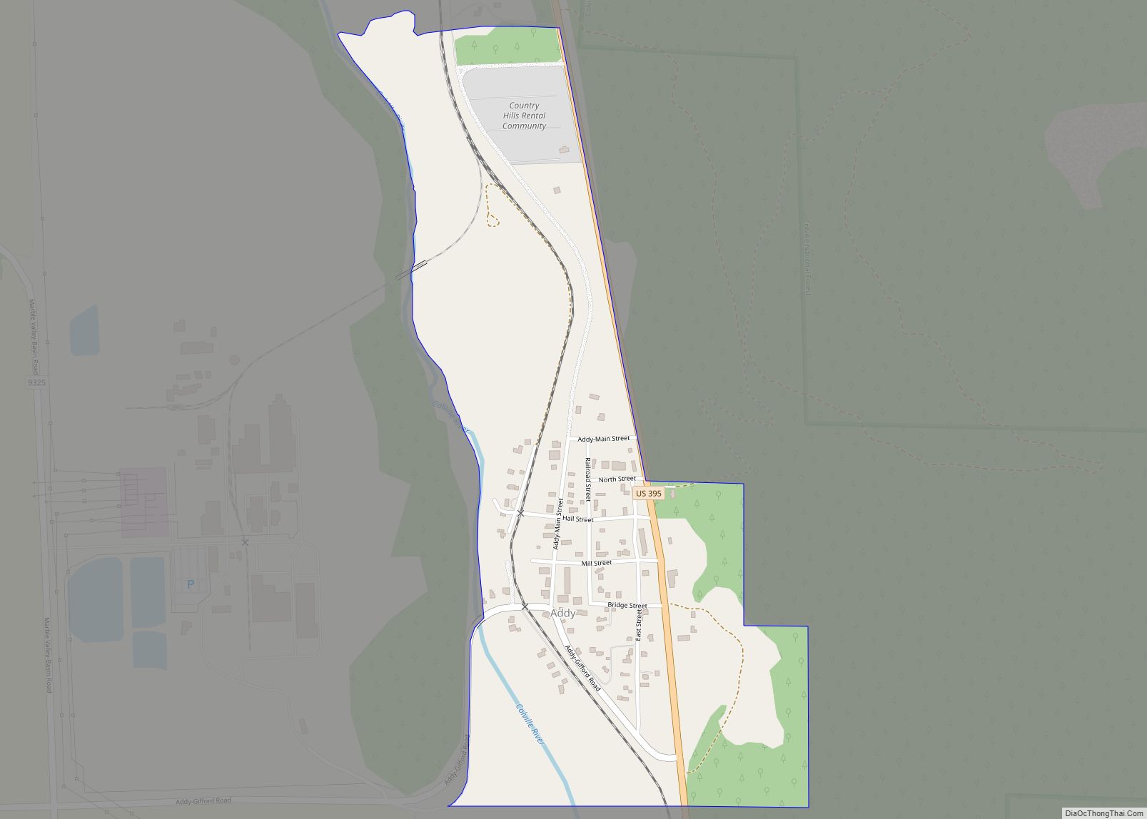
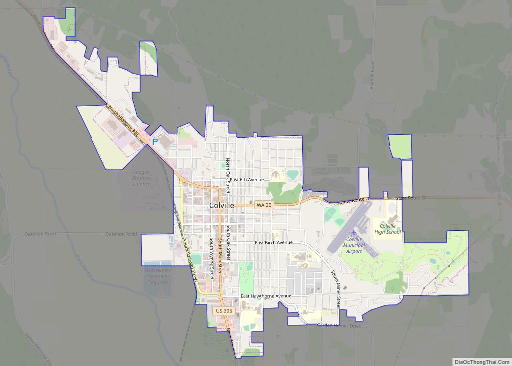
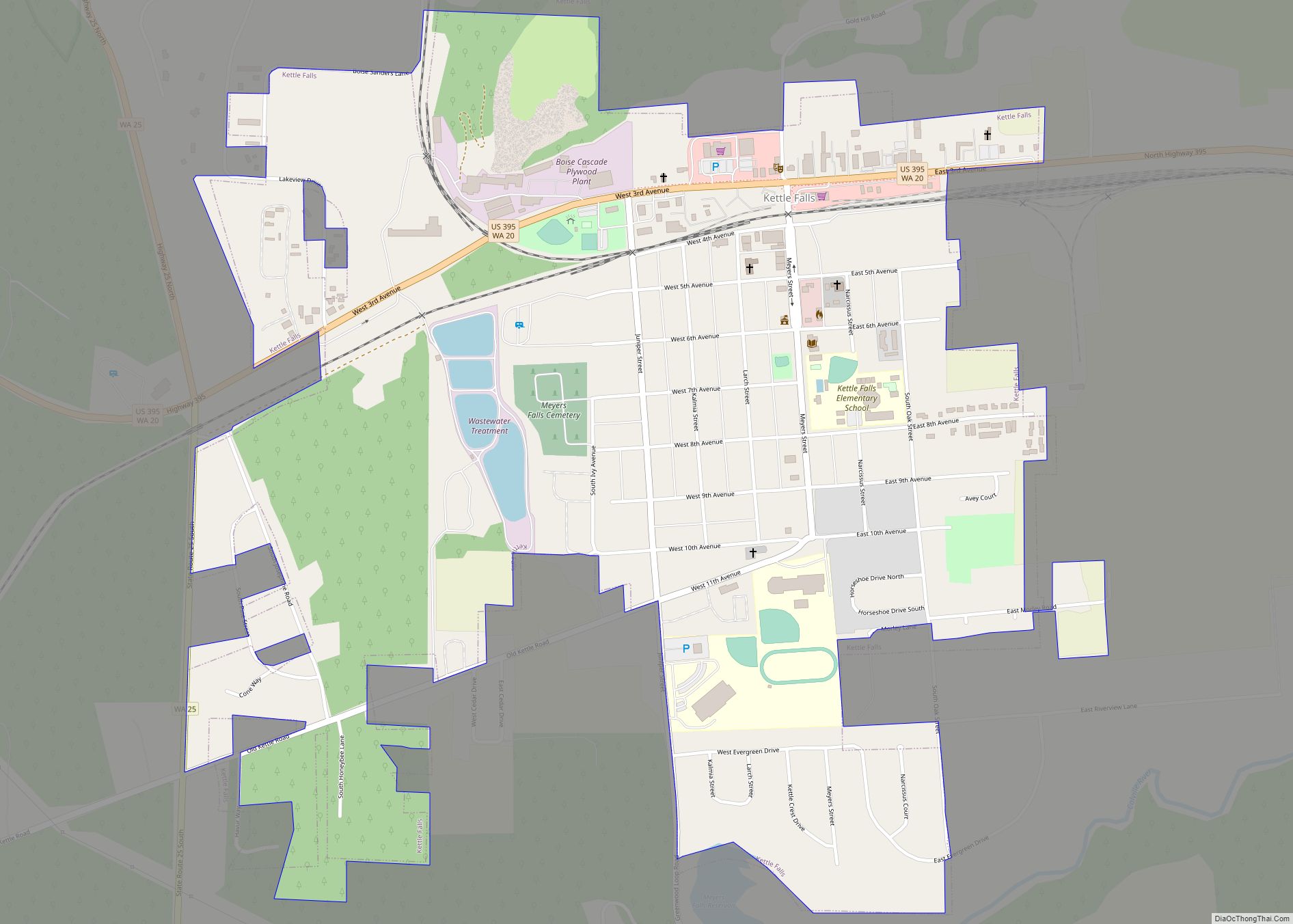
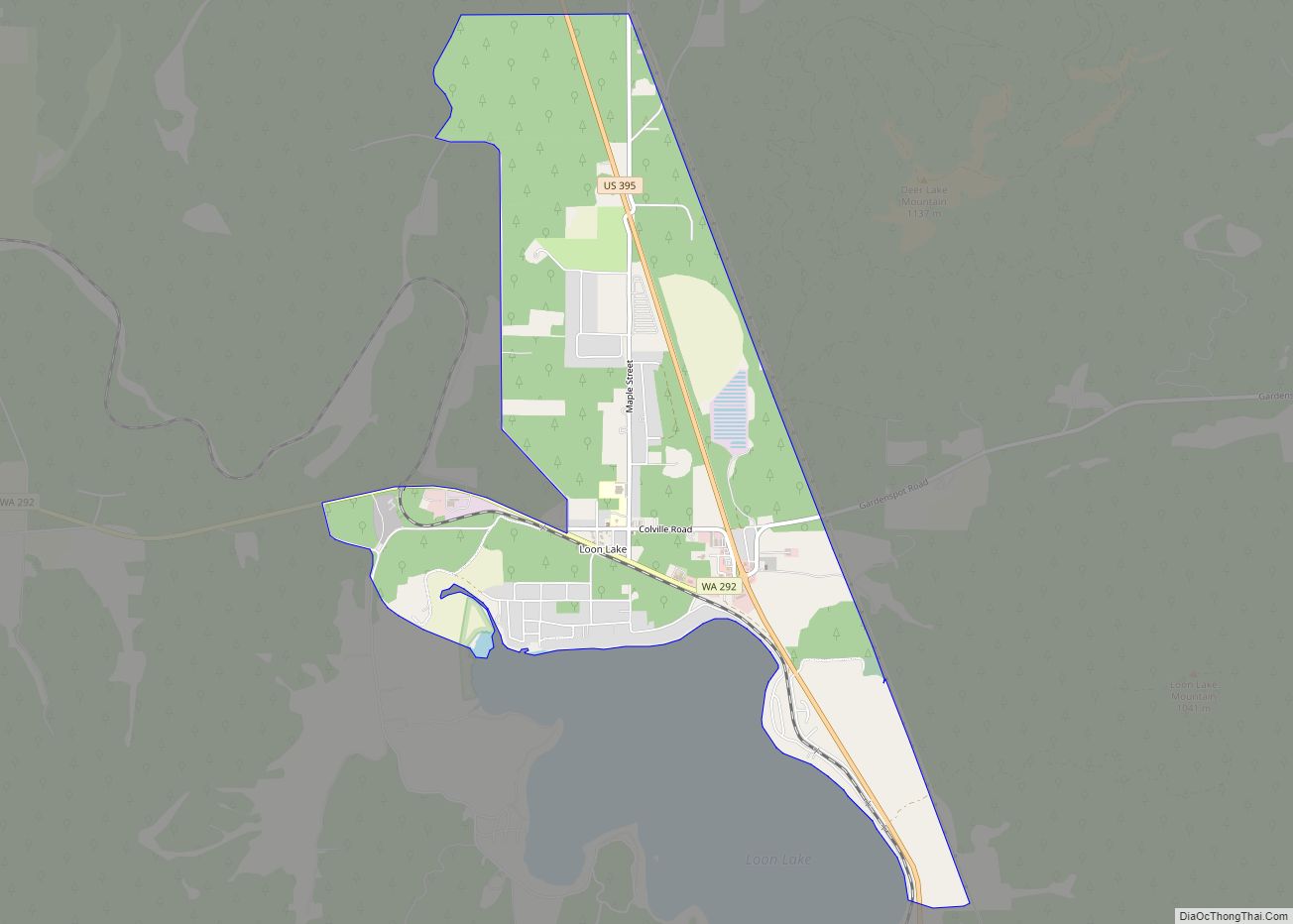
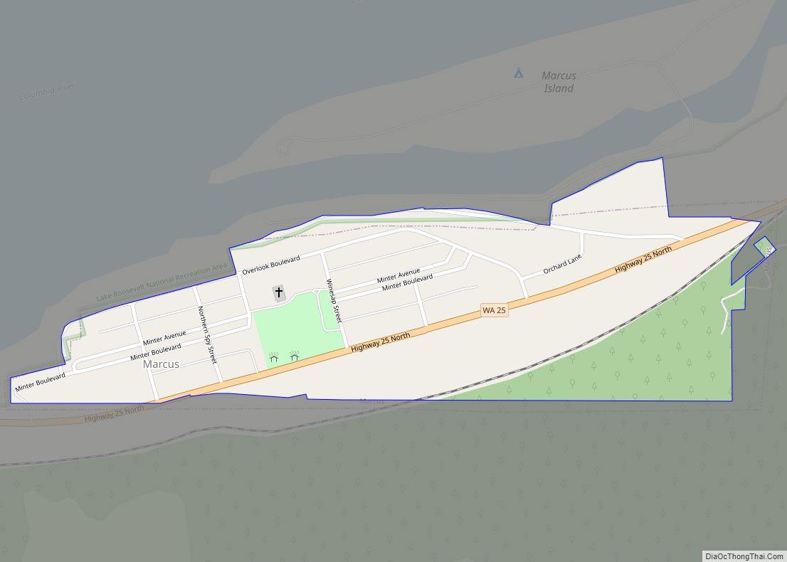
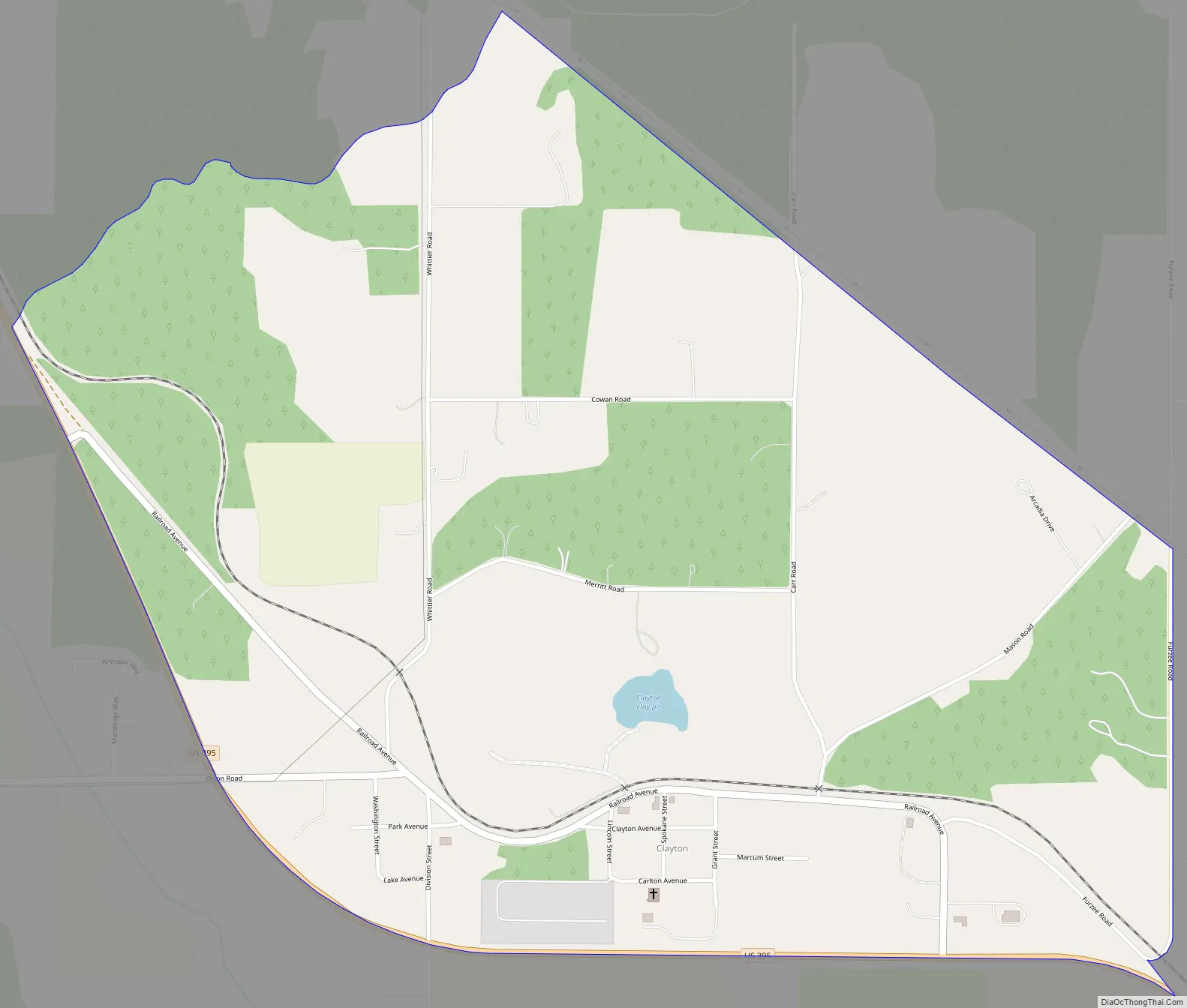
Clayton Road Map
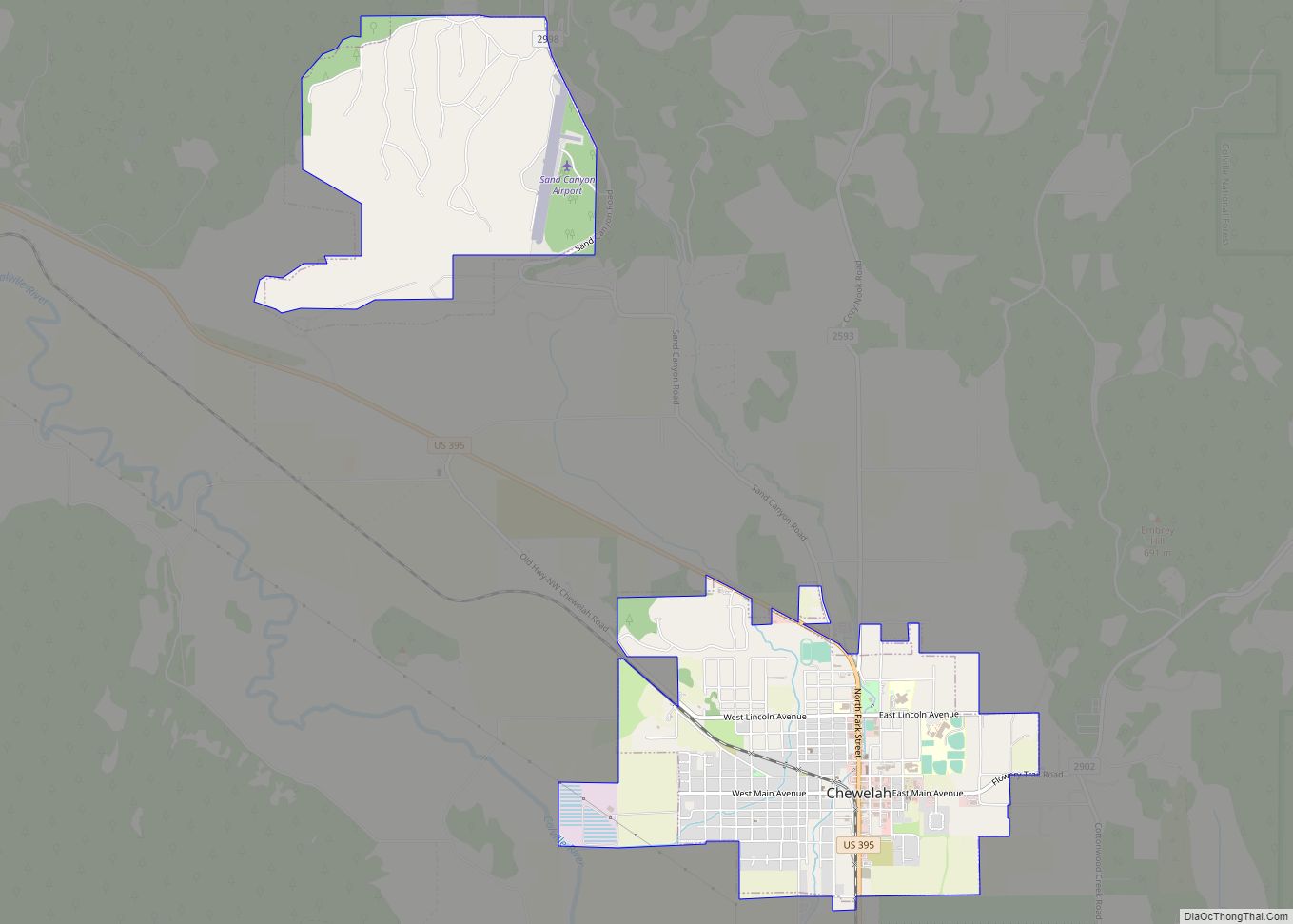
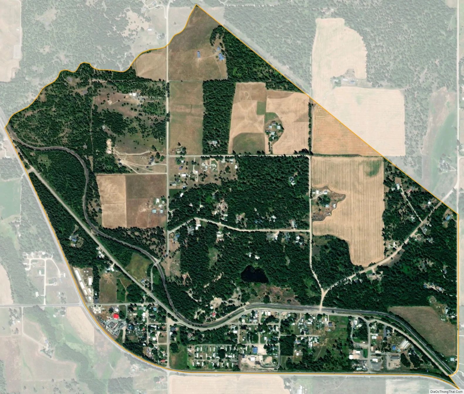
Clayton city Satellite Map
See also
Map of Washington State and its subdivision:- Adams
- Asotin
- Benton
- Chelan
- Clallam
- Clark
- Columbia
- Cowlitz
- Douglas
- Ferry
- Franklin
- Garfield
- Grant
- Grays Harbor
- Island
- Jefferson
- King
- Kitsap
- Kittitas
- Klickitat
- Lewis
- Lincoln
- Mason
- Okanogan
- Pacific
- Pend Oreille
- Pierce
- San Juan
- Skagit
- Skamania
- Snohomish
- Spokane
- Stevens
- Thurston
- Wahkiakum
- Walla Walla
- Whatcom
- Whitman
- Yakima
- Alabama
- Alaska
- Arizona
- Arkansas
- California
- Colorado
- Connecticut
- Delaware
- District of Columbia
- Florida
- Georgia
- Hawaii
- Idaho
- Illinois
- Indiana
- Iowa
- Kansas
- Kentucky
- Louisiana
- Maine
- Maryland
- Massachusetts
- Michigan
- Minnesota
- Mississippi
- Missouri
- Montana
- Nebraska
- Nevada
- New Hampshire
- New Jersey
- New Mexico
- New York
- North Carolina
- North Dakota
- Ohio
- Oklahoma
- Oregon
- Pennsylvania
- Rhode Island
- South Carolina
- South Dakota
- Tennessee
- Texas
- Utah
- Vermont
- Virginia
- Washington
- West Virginia
- Wisconsin
- Wyoming