College Place is a town in Walla Walla County, Washington, United States. It neighbors the larger city of Walla Walla, and had a population of 9,902 at the 2020 census.
College Place is the home of Walla Walla University (formerly Walla Walla College, thus the city’s name), a Seventh-day Adventist operated liberal arts university. Due to the primarily Adventist population, most downtown College Place businesses close on Saturday, reopening in most cases on Sunday. College Avenue is the main street running north to south from Highway 12 to the Milton-Freewater Highway.
| Name: | College Place city |
|---|---|
| LSAD Code: | 25 |
| LSAD Description: | city (suffix) |
| State: | Washington |
| County: | Walla Walla County |
| Elevation: | 794 ft (242 m) |
| Total Area: | 3.00 sq mi (7.76 km²) |
| Land Area: | 3.00 sq mi (7.76 km²) |
| Water Area: | 0.00 sq mi (0.00 km²) |
| Total Population: | 9,902 |
| Population Density: | 3,108.78/sq mi (1,200.42/km²) |
| ZIP code: | 99324 |
| Area code: | 509 |
| FIPS code: | 5313855 |
| GNISfeature ID: | 1512107 |
| Website: | cpwa.us |
Online Interactive Map
Click on ![]() to view map in "full screen" mode.
to view map in "full screen" mode.
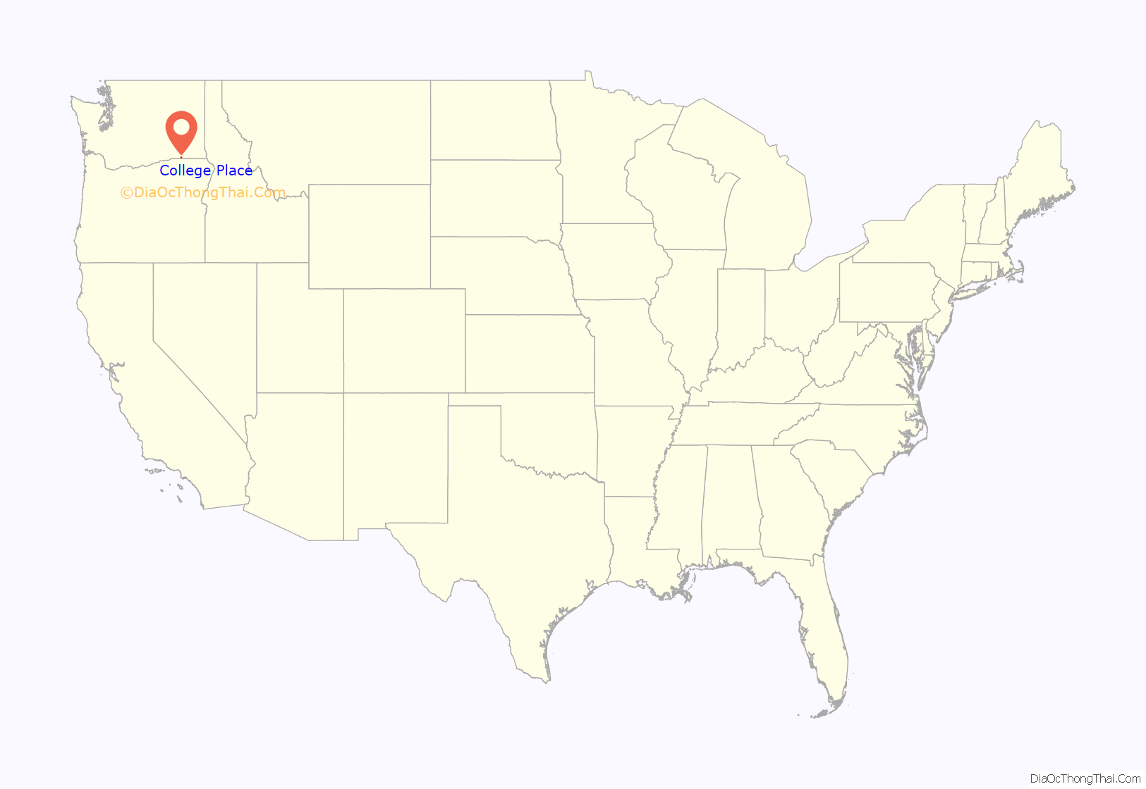
College Place location map. Where is College Place city?
History
Martin Field, to the west of town, was an air training base during World War II. It is now a private airfield.
College Place was officially incorporated on January 19, 1946.
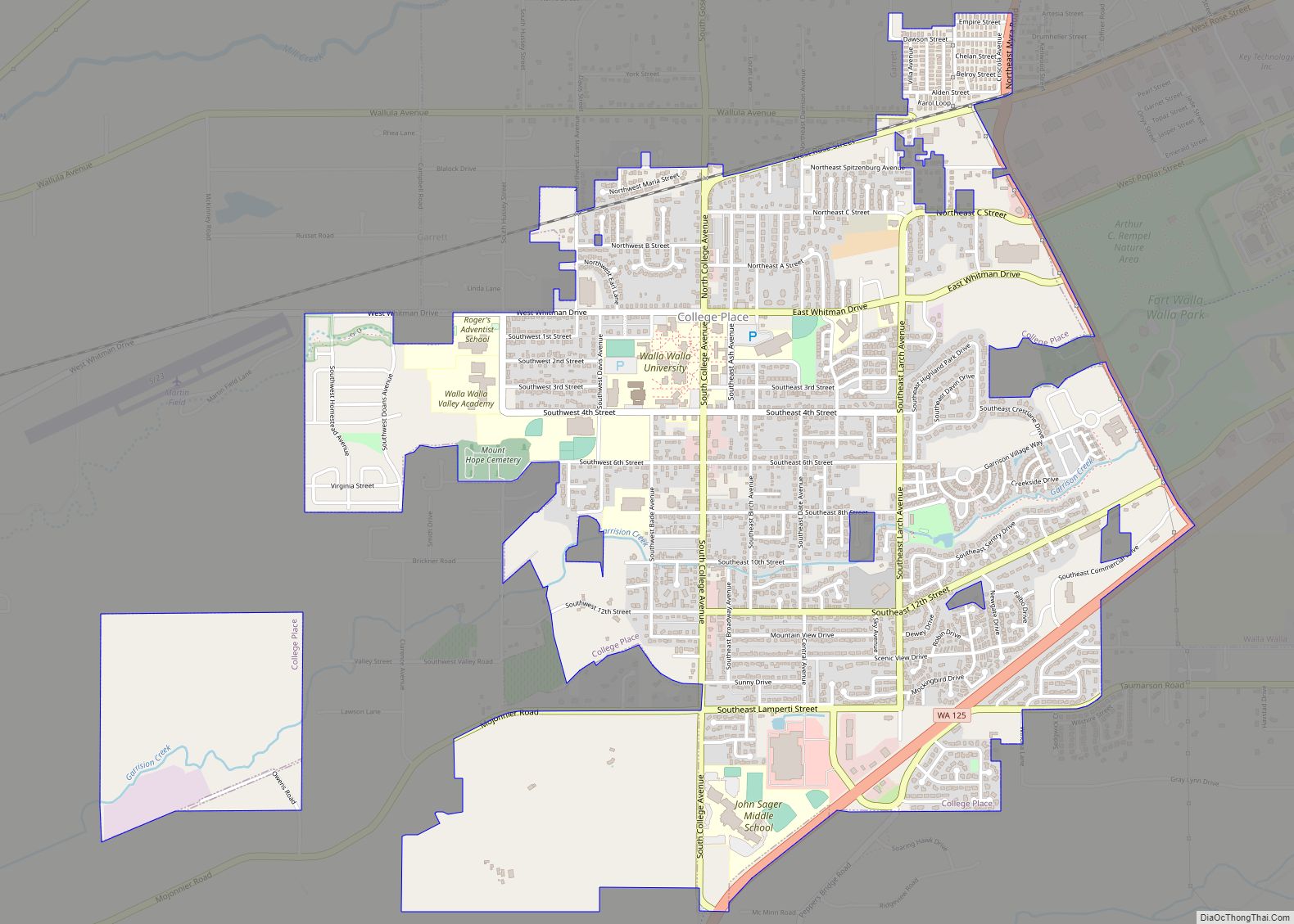
College Place Road Map
College Place city Satellite Map
Geography
College Place is located at 46°2′42″N 118°22′57″W / 46.04500°N 118.38250°W / 46.04500; -118.38250 (46.045127, -118.382425).
According to the United States Census Bureau, the city has a total area of 2.66 square miles (6.89 km), all of it land.
Climate
According to the Köppen Climate Classification system, College Place has a warm-summer Mediterranean climate, abbreviated “Csa” on climate maps.
See also
Map of Washington State and its subdivision:- Adams
- Asotin
- Benton
- Chelan
- Clallam
- Clark
- Columbia
- Cowlitz
- Douglas
- Ferry
- Franklin
- Garfield
- Grant
- Grays Harbor
- Island
- Jefferson
- King
- Kitsap
- Kittitas
- Klickitat
- Lewis
- Lincoln
- Mason
- Okanogan
- Pacific
- Pend Oreille
- Pierce
- San Juan
- Skagit
- Skamania
- Snohomish
- Spokane
- Stevens
- Thurston
- Wahkiakum
- Walla Walla
- Whatcom
- Whitman
- Yakima
- Alabama
- Alaska
- Arizona
- Arkansas
- California
- Colorado
- Connecticut
- Delaware
- District of Columbia
- Florida
- Georgia
- Hawaii
- Idaho
- Illinois
- Indiana
- Iowa
- Kansas
- Kentucky
- Louisiana
- Maine
- Maryland
- Massachusetts
- Michigan
- Minnesota
- Mississippi
- Missouri
- Montana
- Nebraska
- Nevada
- New Hampshire
- New Jersey
- New Mexico
- New York
- North Carolina
- North Dakota
- Ohio
- Oklahoma
- Oregon
- Pennsylvania
- Rhode Island
- South Carolina
- South Dakota
- Tennessee
- Texas
- Utah
- Vermont
- Virginia
- Washington
- West Virginia
- Wisconsin
- Wyoming
