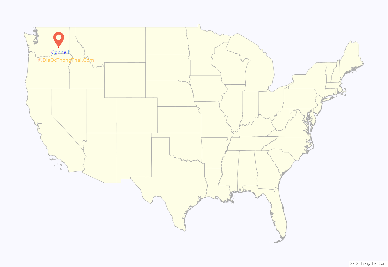
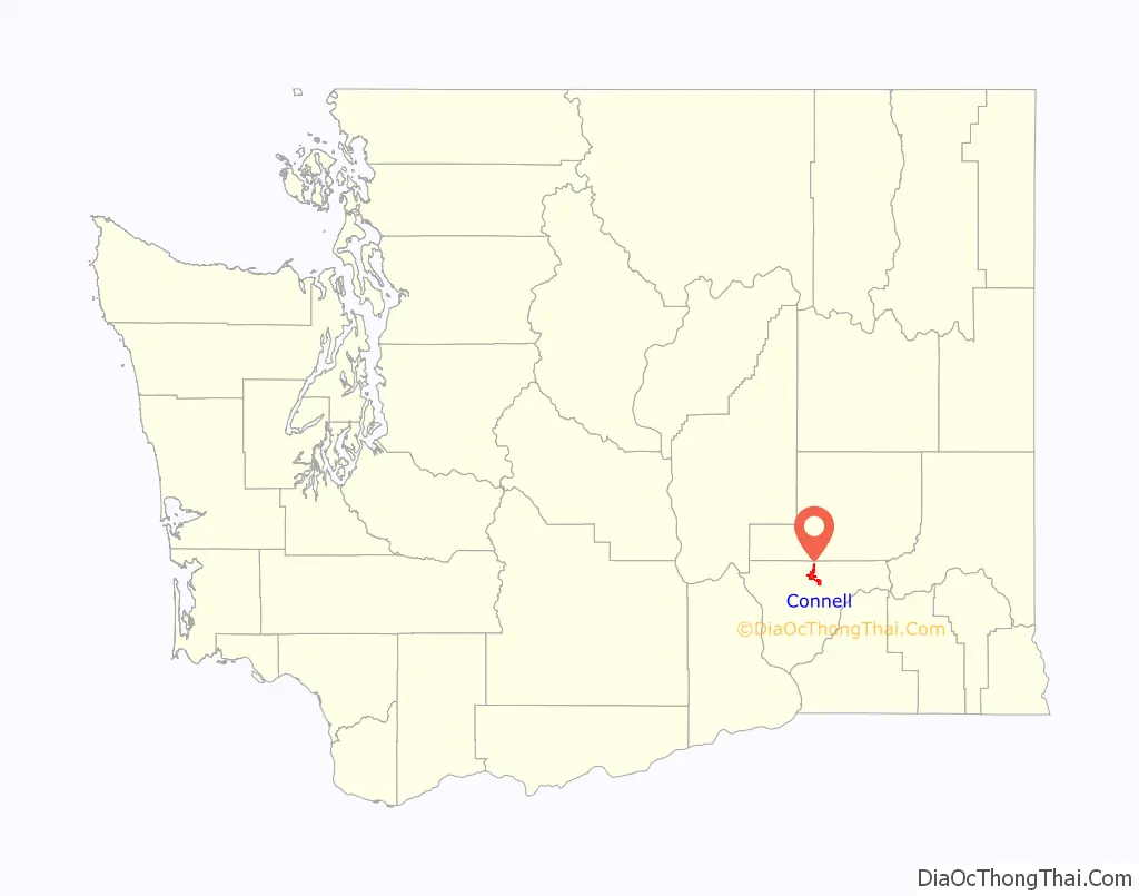
Connell (/kɑːˈnɛl/) is a city in Franklin County, Washington, United States. The population was 5,441 at the 2020 census.
| Name: | Connell city |
|---|---|
| LSAD Code: | 25 |
| LSAD Description: | city (suffix) |
| State: | Washington |
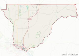
| County: | Franklin County |
| Elevation: | 846 ft (258 m) |
| Total Area: | 7.69 sq mi (19.91 km²) |
| Land Area: | 7.69 sq mi (19.91 km²) |
| Water Area: | 0.00 sq mi (0.00 km²) |
| Total Population: | 5,441 |
| ZIP code: | 99326 |
| Area code: | 509 |
| FIPS code: | 5314485 |
| GNISfeature ID: | 1504104 |
| Website: | cityofconnell.com |
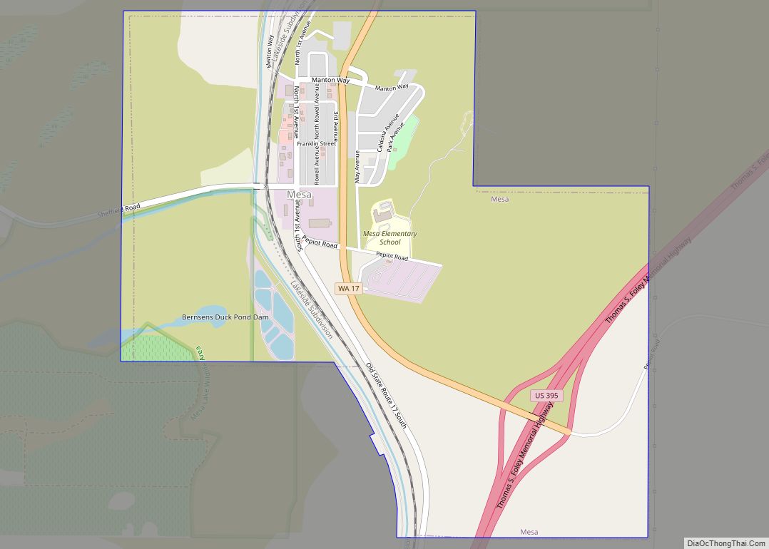
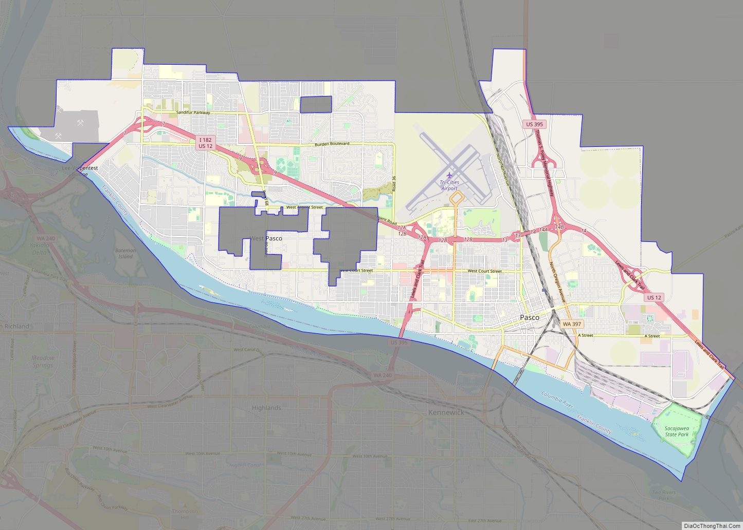
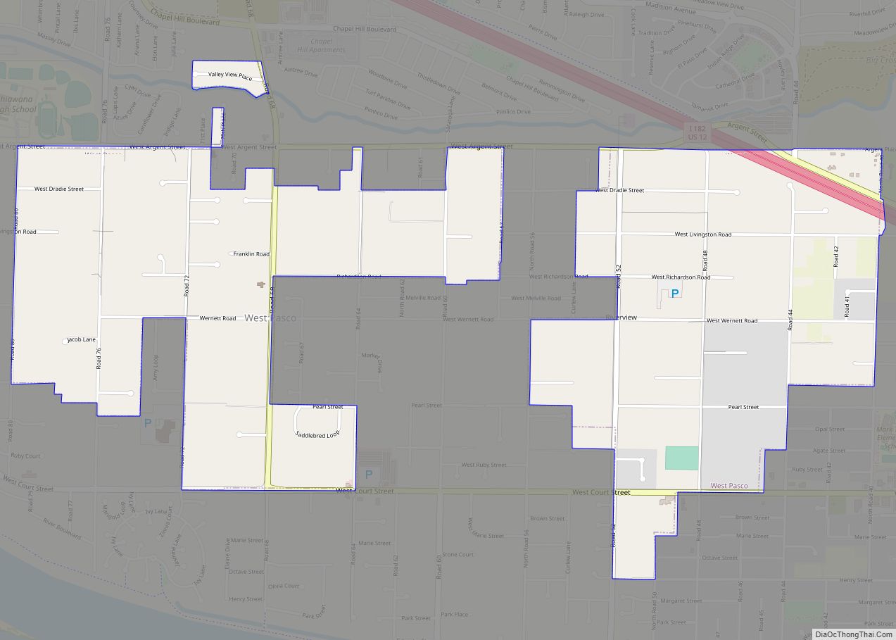
Online Interactive Map
Click on ![]() to view map in "full screen" mode.
to view map in "full screen" mode.
Connell location map. Where is Connell city?
History
Prior to 1883 the area now known as Connell was used by ranchers as open range for cattle and horses. The community was established in 1883 as a junction between the Northern Pacific Railroad and the Oregon Railroad and Navigation Company. The new town was called Palouse Junction by Jacob Cornelius Connell, a railroad official and resident. Palouse Junction was unique on the Ainsworth—Spokane line, in that it was not on a river. It was also the gateway to the Palouse via the OR&N’s line to Washtucna. Water for trains and for the town was from public wells dug by the railroad. At some time between 1886 and 1900, the town was renamed to Connell.
The Northern Pacific Railroad ceased service to the station in 1890, but the Union Pacific Railroad took over the station in 1901, and the town began to grow again. A school district was formed sometime between 1900 and 1904. In 1902 the Franklin County Bank was Incorporated in Connell, and the Connell Land and Improvement Company was established. Also in that year, the county allowed a franchisee to begin piping in water for the town (Although this was never very successful, and the following year a good well hit water at 268 feet). In 1903, lots on the west side of the tracks were sold, and a new commercial district began to grow, and a number of existing buildings were even moved to these new lots.
By this time the town rivaled Pasco in importance in Franklin County. Unfortunately, much of the business district was destroyed by fire in July 1905. The destroyed sections were quickly rebuilt using brick. Connell was officially incorporated on November 28, 1910. Dryland wheat farming was the lifeblood of Connell through most of the twentieth century.
Today
The primary industrial base is food processing, agricultural chemicals, and the Coyote Ridge Corrections Center, a minimum and medium-security correctional facility that is capable of holding 2600 offenders. The community is also home to the North Franklin School District where there is a high school, junior high, grade school and administration offices.
In 1998 the city approved a “water system plan” that would include the purchase of additional water rights to secure water for future growth in residential, commercial and industrial activities. By 2007 the water system plan was completed. New waterlines had been installed to replace aging pipes, reservoirs were upgraded and additional wells were brought into the system.
During the last ten years, the city has rebuilt Columbia Avenue, the main thoroughfare, and reconstructed its industrial streets, and received a grant award to reconstruct a portion of Clark Street. This roadway connects the downtown to Highway 260 on the west side of town, and serves the junior and senior high schools and administration buildings for the school district. Several businesses have left the city (Akins Food, B&H clothing, Tru-Value Hardware and Les Schwab Tire) and very few new businesses have been established.
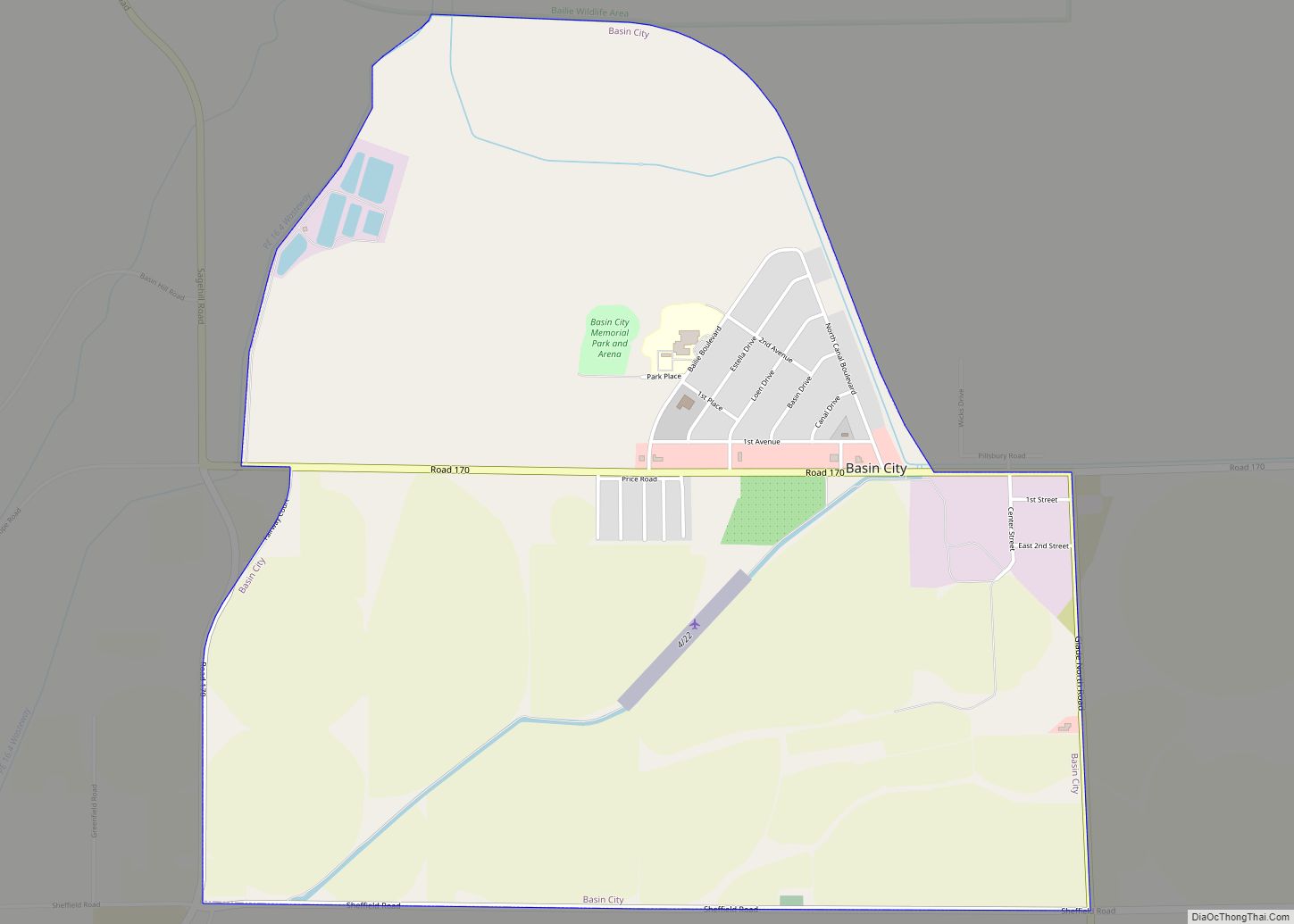
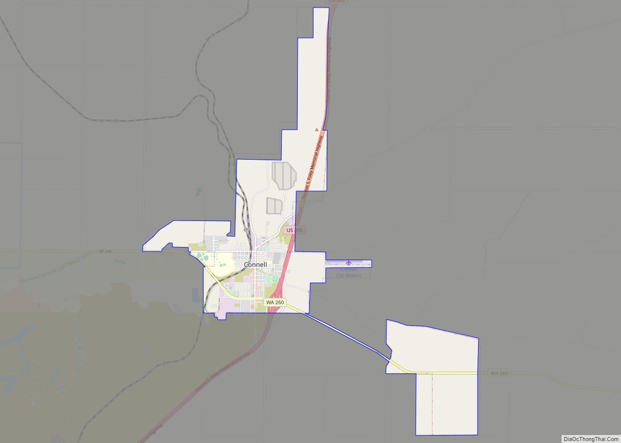
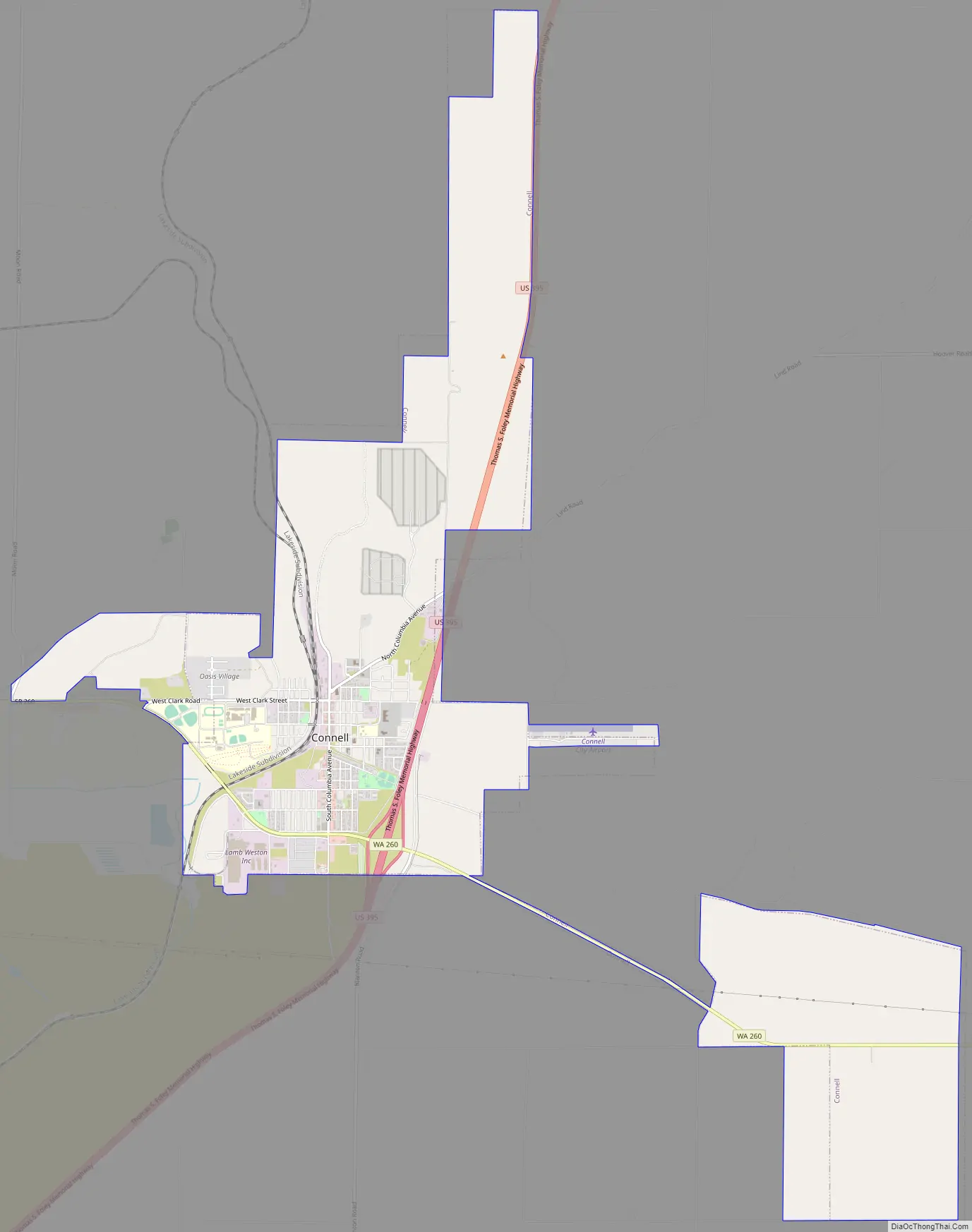
Connell Road Map
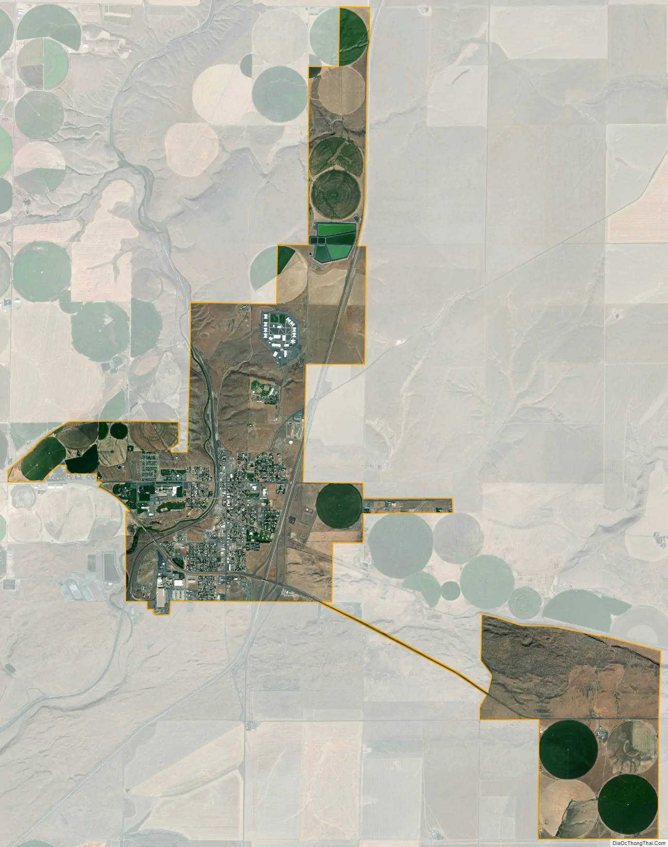
Connell city Satellite Map
Geography
Connell is located at 46°39′30″N 118°51′39″W / 46.65833°N 118.86083°W / 46.65833; -118.86083 (46.658300, -118.860842). According to the United States Census Bureau, the city has a total area of 7.87 square miles (20.38 km), all of it land.
The site of the town is located in a depression formed by the convergence of Providence Coulee, coming from the north, Washtucna Coulee from the east, and Esquatzel Coulee to the southeast. Terrain rises a few hundred feet from the floor of the coulees to the higher land surrounding Connell. Ephemeral streams flow through these coulees. U.S. Route 395 passes through Connell, connecting the town with Interstate 90 at Ritzville to the northeast and Interstate 82 at the Tri-Cities to the southwest. State Route 260 begins a few miles west of Connell and passes through the town as it heads east along Washtucna Coulee to Washtucna.
Climate
According to the Köppen Climate Classification system, Connell has a semi-arid climate, abbreviated “BSk” on climate maps.
It is the least snowy city in Eastern Washington, on average.
See also
Map of Washington State and its subdivision:- Adams
- Asotin
- Benton
- Chelan
- Clallam
- Clark
- Columbia
- Cowlitz
- Douglas
- Ferry
- Franklin
- Garfield
- Grant
- Grays Harbor
- Island
- Jefferson
- King
- Kitsap
- Kittitas
- Klickitat
- Lewis
- Lincoln
- Mason
- Okanogan
- Pacific
- Pend Oreille
- Pierce
- San Juan
- Skagit
- Skamania
- Snohomish
- Spokane
- Stevens
- Thurston
- Wahkiakum
- Walla Walla
- Whatcom
- Whitman
- Yakima
- Alabama
- Alaska
- Arizona
- Arkansas
- California
- Colorado
- Connecticut
- Delaware
- District of Columbia
- Florida
- Georgia
- Hawaii
- Idaho
- Illinois
- Indiana
- Iowa
- Kansas
- Kentucky
- Louisiana
- Maine
- Maryland
- Massachusetts
- Michigan
- Minnesota
- Mississippi
- Missouri
- Montana
- Nebraska
- Nevada
- New Hampshire
- New Jersey
- New Mexico
- New York
- North Carolina
- North Dakota
- Ohio
- Oklahoma
- Oregon
- Pennsylvania
- Rhode Island
- South Carolina
- South Dakota
- Tennessee
- Texas
- Utah
- Vermont
- Virginia
- Washington
- West Virginia
- Wisconsin
- Wyoming