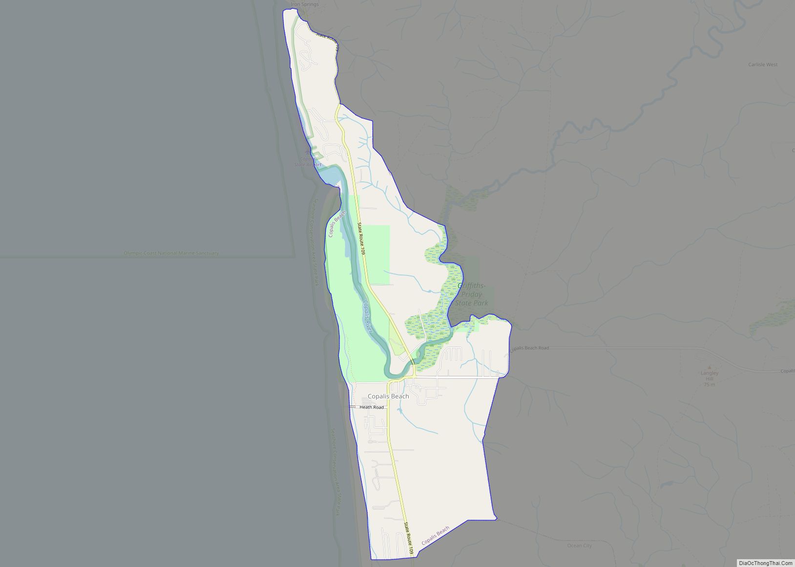
Copalis Beach is a census-designated place (CDP) in Grays Harbor County, Washington, United States. The population was 415 at the 2010 census.
The name “Copalis” comes from the Quinault language term /k’ʷpíls/. The Copalis are a Native American group. Both the Chehalis people and Quinault Indian Nation claim the Copalis are a subdivision of their tribe.
| Name: | Copalis Beach CDP |
|---|---|
| LSAD Code: | 57 |
| LSAD Description: | CDP (suffix) |
| State: | Washington |
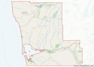
| County: | Grays Harbor County |
| Elevation: | 23 ft (7 m) |
| Total Area: | 3.8 sq mi (9.8 km²) |
| Land Area: | 3.7 sq mi (9.6 km²) |
| Water Area: | 0.1 sq mi (0.3 km²) |
| Total Population: | 415 |
| Population Density: | 132.0/sq mi (51.0/km²) |
| ZIP code: | 98535 |
| Area code: | 360 |
| FIPS code: | 5314660 |
| GNISfeature ID: | 1530849 |
Online Interactive Map
Click on ![]() to view map in "full screen" mode.
to view map in "full screen" mode.
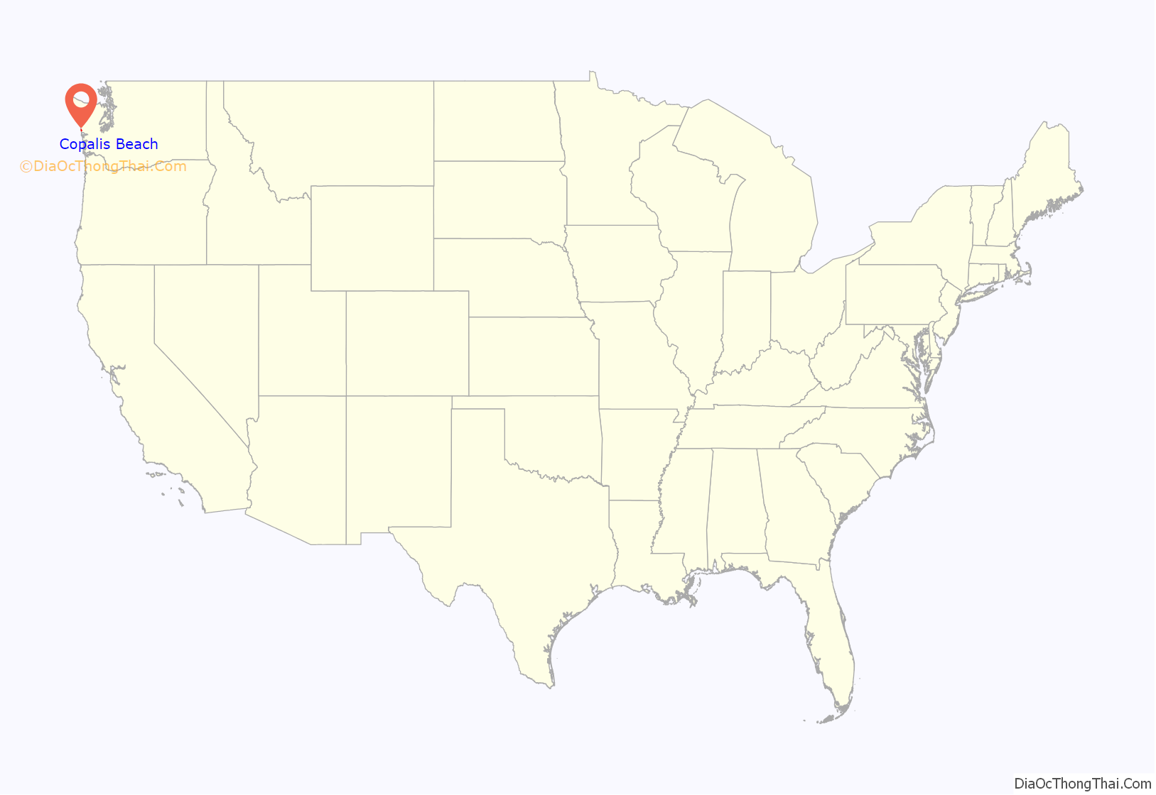
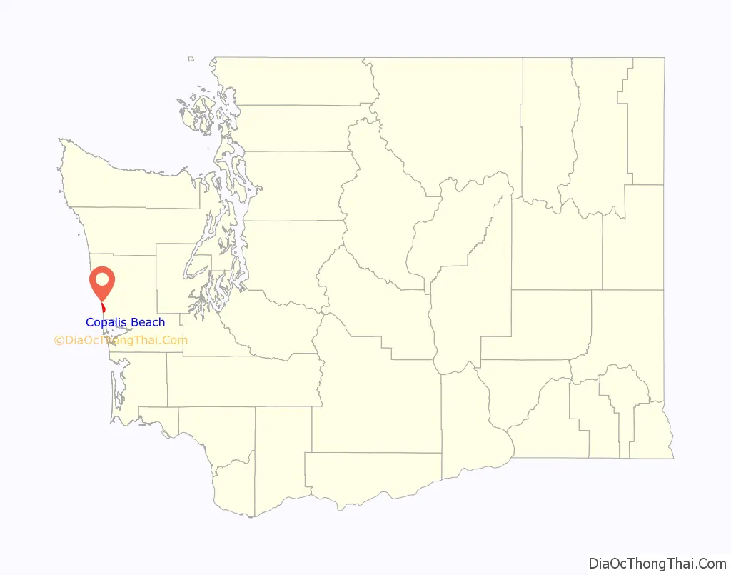
Copalis Beach location map. Where is Copalis Beach CDP?
History
The Copalis Native Americans belong to the coastal division of the Salishan language family and historically occupied the area of Copalis River and the Pacific Coast between the mouth of Joe Creek and Grays Harbor. In 1805, Lewis and Clark estimated a population of 200 Copalis in 10 houses. The 5 individuals assigned to a “Chepalis” tribe in an enumeration given by Olson of the year 1888 probably refers to them.
The first non-Native American people settled in Copalis Beach in the 1890s. Copalis, along with the beach of the same name, has become famed as the “Home of the razor clam.” The community sits near the northern end of probably the greatest razor clam bed in the world for the flavor renowned variety abounds, apparently only in the Pacific Northwest, and particularly on Copalis Beach. During the commercial season, Copalis’ normal population of about 350 persons, leaped fourfold.
During 1947 and 1948, commercial diggers took more than a million pounds of bivalves from Copalis Beach, earned themselves approximately $200,000.00 and brought huge additional sums to cannery men and workers. Tourists dug thousands of pounds more.
Copalis Beach Road Map
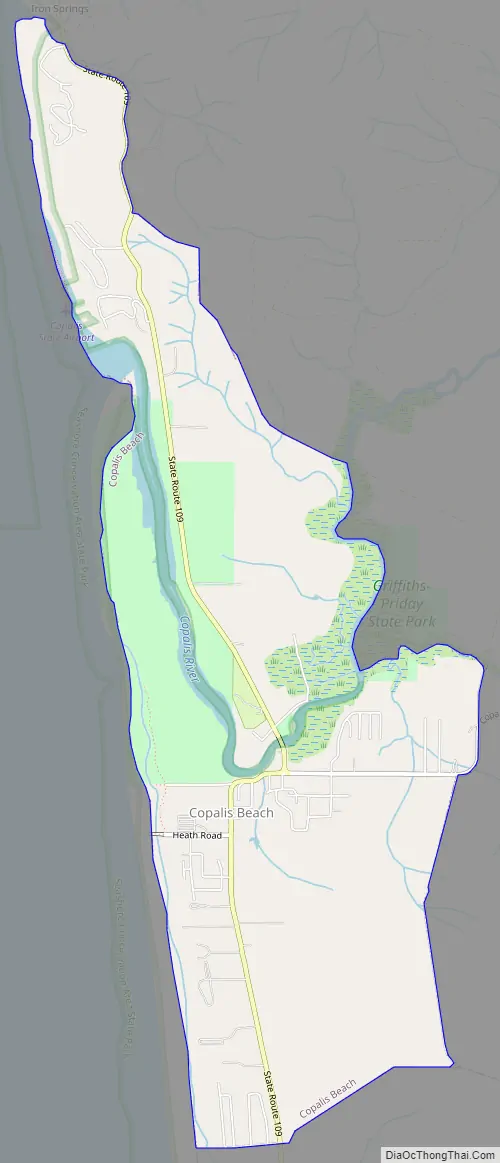
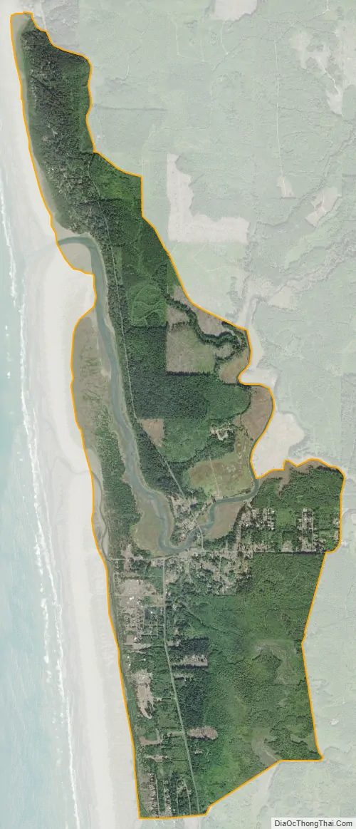
Copalis Beach city Satellite Map
Geography
Copalis Beach is located at 47°7′4″N 124°10′42″W / 47.11778°N 124.17833°W / 47.11778; -124.17833 (47.117784, -124.178435).
According to the United States Census Bureau, the CDP has a total area of 3.8 square miles (9.8 km), of which, 3.7 square miles (9.6 km) of it is land and 0.1 square miles (0.3 km) of it (2.63%) is water.
See also
Map of Washington State and its subdivision:- Adams
- Asotin
- Benton
- Chelan
- Clallam
- Clark
- Columbia
- Cowlitz
- Douglas
- Ferry
- Franklin
- Garfield
- Grant
- Grays Harbor
- Island
- Jefferson
- King
- Kitsap
- Kittitas
- Klickitat
- Lewis
- Lincoln
- Mason
- Okanogan
- Pacific
- Pend Oreille
- Pierce
- San Juan
- Skagit
- Skamania
- Snohomish
- Spokane
- Stevens
- Thurston
- Wahkiakum
- Walla Walla
- Whatcom
- Whitman
- Yakima
- Alabama
- Alaska
- Arizona
- Arkansas
- California
- Colorado
- Connecticut
- Delaware
- District of Columbia
- Florida
- Georgia
- Hawaii
- Idaho
- Illinois
- Indiana
- Iowa
- Kansas
- Kentucky
- Louisiana
- Maine
- Maryland
- Massachusetts
- Michigan
- Minnesota
- Mississippi
- Missouri
- Montana
- Nebraska
- Nevada
- New Hampshire
- New Jersey
- New Mexico
- New York
- North Carolina
- North Dakota
- Ohio
- Oklahoma
- Oregon
- Pennsylvania
- Rhode Island
- South Carolina
- South Dakota
- Tennessee
- Texas
- Utah
- Vermont
- Virginia
- Washington
- West Virginia
- Wisconsin
- Wyoming