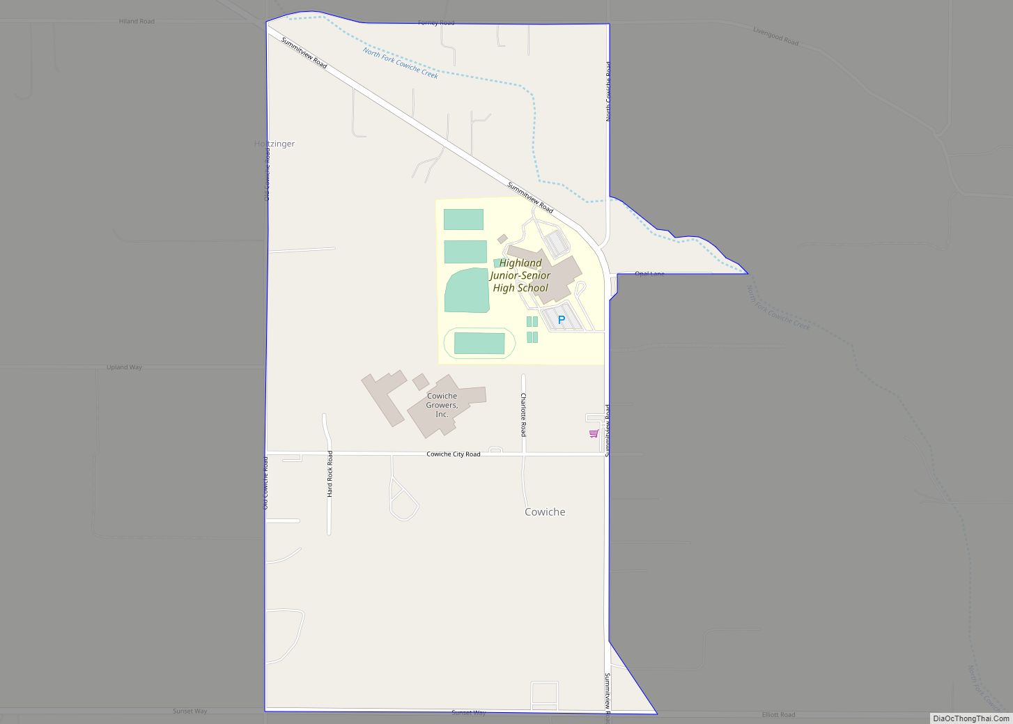
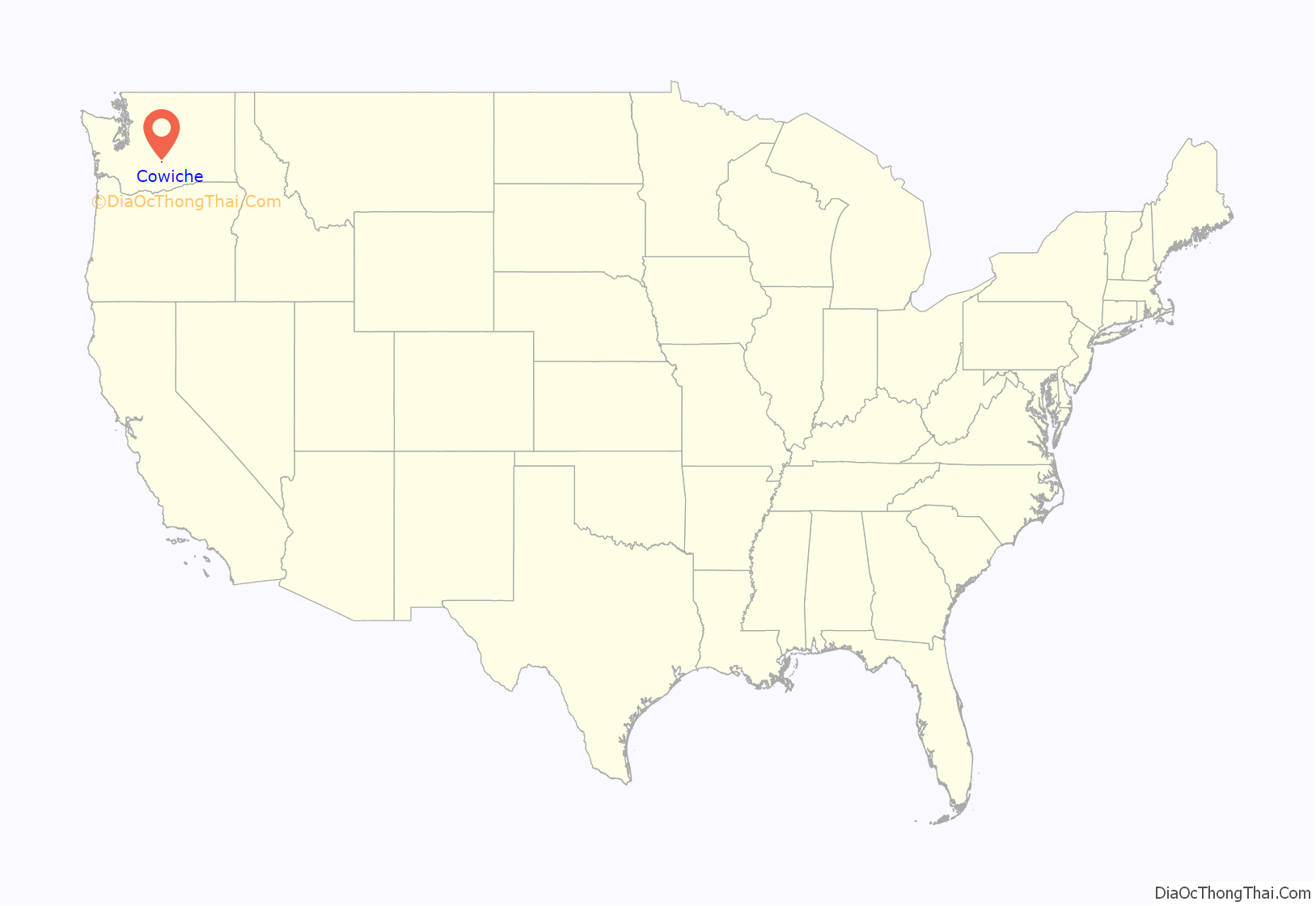
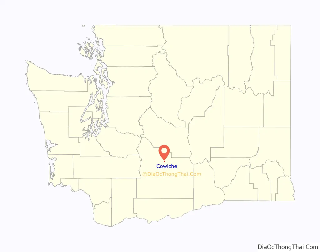
Cowiche (pronounced Cow-witch-ee) is a census-designated place and unincorporated community northwest of Yakima, Washington, near the eastern foothills of the Cascade Mountain range, in central Washington State (US). Cowiche, sometimes spelled Cowychee, is said to mean “footbridge between the valley and the mountains.” The town had 428 people at the 2010 census.
| Name: | Cowiche CDP |
|---|---|
| LSAD Code: | 57 |
| LSAD Description: | CDP (suffix) |
| State: | Washington |
| County: | Yakima County |
| Elevation: | 1,749 ft (533 m) |
| Total Area: | 428 |
| ZIP code: | 98923 |
| Area code: | 509 |
| FIPS code: | 5315325 |
| GNISfeature ID: | 1512121 |
Online Interactive Map
Click on ![]() to view map in "full screen" mode.
to view map in "full screen" mode.
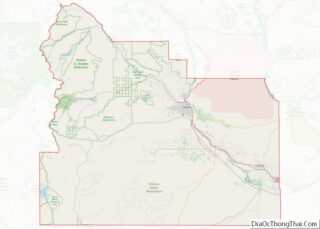
Cowiche location map. Where is Cowiche CDP?
History
The first inhabitants of the area were the Tkai’waichash-hlama, a band or tribe of Native American people who lived along Cowiche Creek. The area was settled in the late nineteenth century by farmers who relied upon crops that did not require irrigation, such as wheat, barley, rye, and grazing cattle. Homesteading in Cowiche was difficult since fields had to be cleared of volcanic rock before they could be tilled and there was little rainfall in summer. In 1906, construction began on the Tieton Irrigation Project, a division of the broader Yakima Project. Irrigation water became available in 1907, and shortly thereafter, orchards began to replace wheatfields.
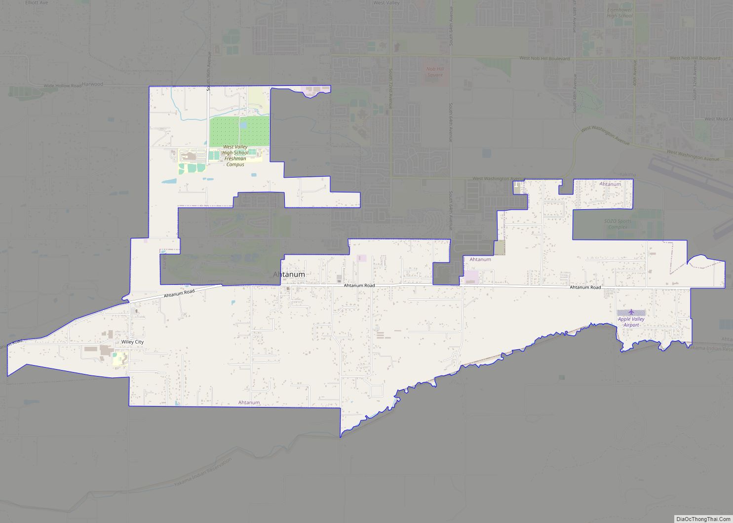
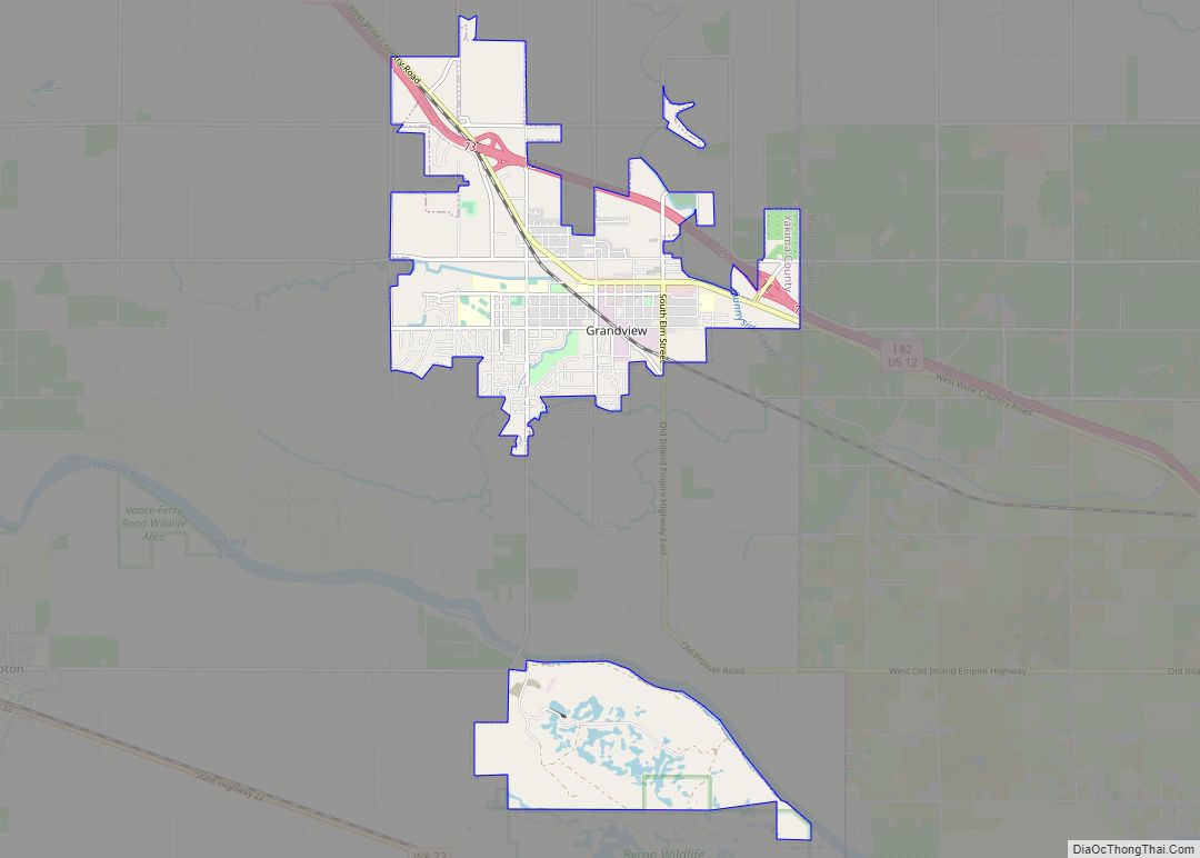
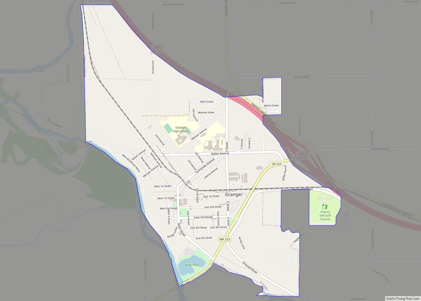
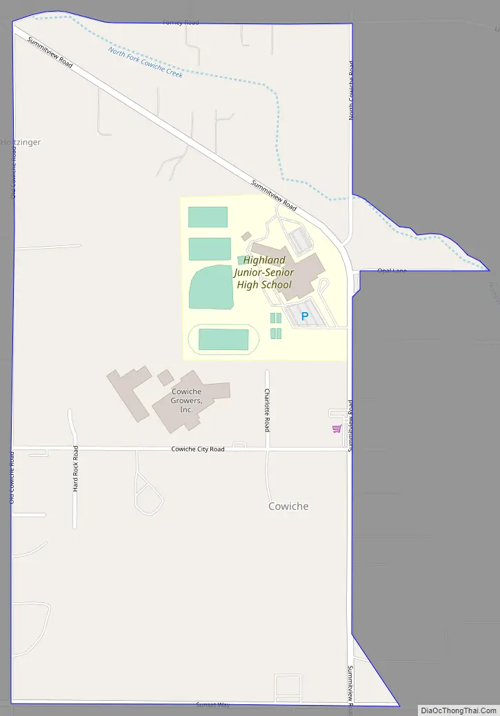
Cowiche Road Map
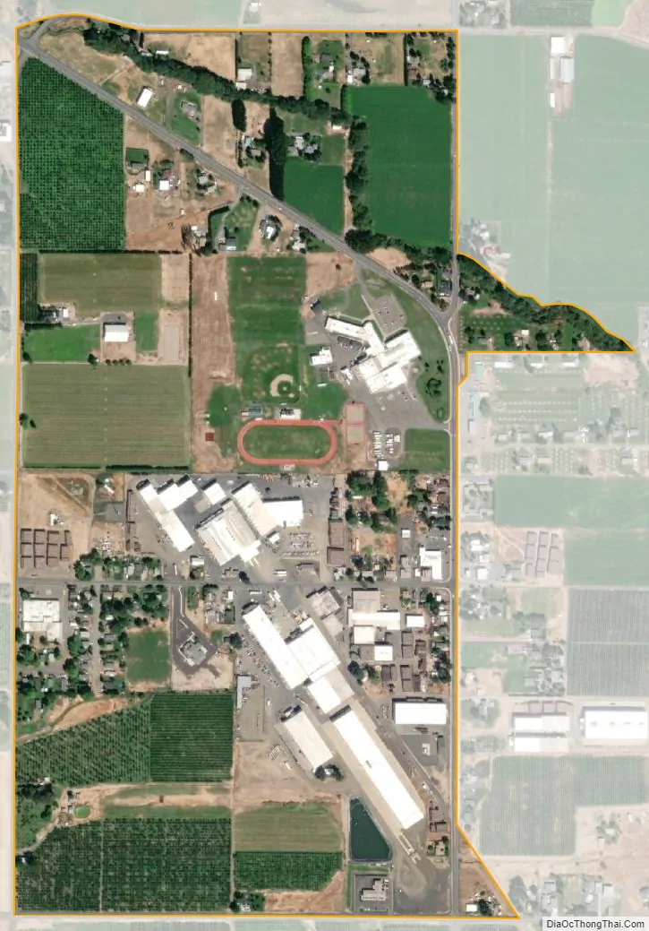
Cowiche city Satellite Map
See also
Map of Washington State and its subdivision:- Adams
- Asotin
- Benton
- Chelan
- Clallam
- Clark
- Columbia
- Cowlitz
- Douglas
- Ferry
- Franklin
- Garfield
- Grant
- Grays Harbor
- Island
- Jefferson
- King
- Kitsap
- Kittitas
- Klickitat
- Lewis
- Lincoln
- Mason
- Okanogan
- Pacific
- Pend Oreille
- Pierce
- San Juan
- Skagit
- Skamania
- Snohomish
- Spokane
- Stevens
- Thurston
- Wahkiakum
- Walla Walla
- Whatcom
- Whitman
- Yakima
- Alabama
- Alaska
- Arizona
- Arkansas
- California
- Colorado
- Connecticut
- Delaware
- District of Columbia
- Florida
- Georgia
- Hawaii
- Idaho
- Illinois
- Indiana
- Iowa
- Kansas
- Kentucky
- Louisiana
- Maine
- Maryland
- Massachusetts
- Michigan
- Minnesota
- Mississippi
- Missouri
- Montana
- Nebraska
- Nevada
- New Hampshire
- New Jersey
- New Mexico
- New York
- North Carolina
- North Dakota
- Ohio
- Oklahoma
- Oregon
- Pennsylvania
- Rhode Island
- South Carolina
- South Dakota
- Tennessee
- Texas
- Utah
- Vermont
- Virginia
- Washington
- West Virginia
- Wisconsin
- Wyoming