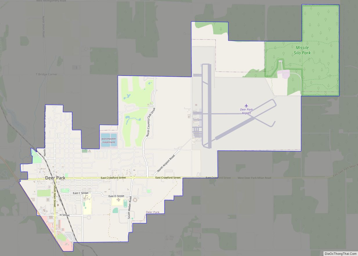
Deer Park is a city in Spokane County, Washington. The population was 3,652 at the time of the 2010 census, up from 3,017 in 2000.
| Name: | Deer Park city |
|---|---|
| LSAD Code: | 25 |
| LSAD Description: | city (suffix) |
| State: | Washington |
| County: | Spokane County |
| Elevation: | 2,123 ft (647 m) |
| Total Area: | 6.89 sq mi (17.84 km²) |
| Land Area: | 6.89 sq mi (17.84 km²) |
| Water Area: | 0.00 sq mi (0.00 km²) |
| Total Population: | 3,652 |
| Population Density: | 633.47/sq mi (244.59/km²) |
| ZIP code: | 99006 |
| Area code: | 509 |
| FIPS code: | 5317320 |
| GNISfeature ID: | 1512143 |
| Website: | www.cityofdeerparkwa.com |
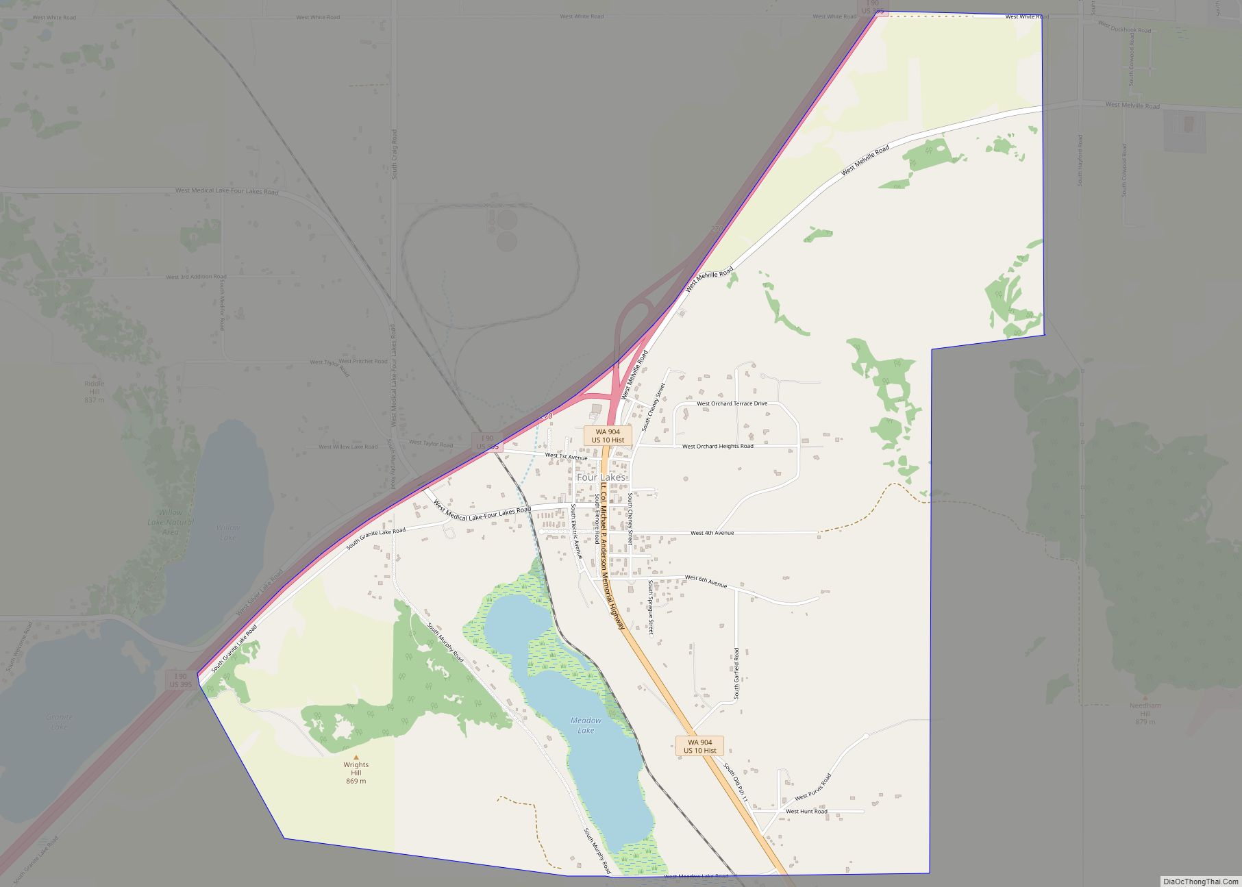
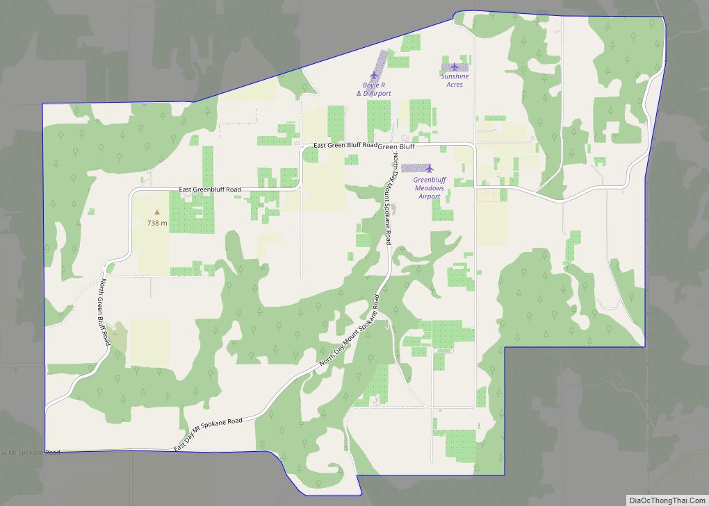
Online Interactive Map
Click on ![]() to view map in "full screen" mode.
to view map in "full screen" mode.
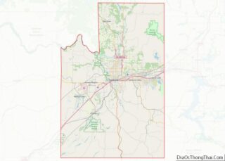
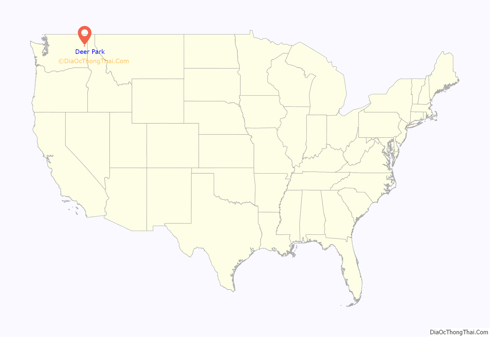
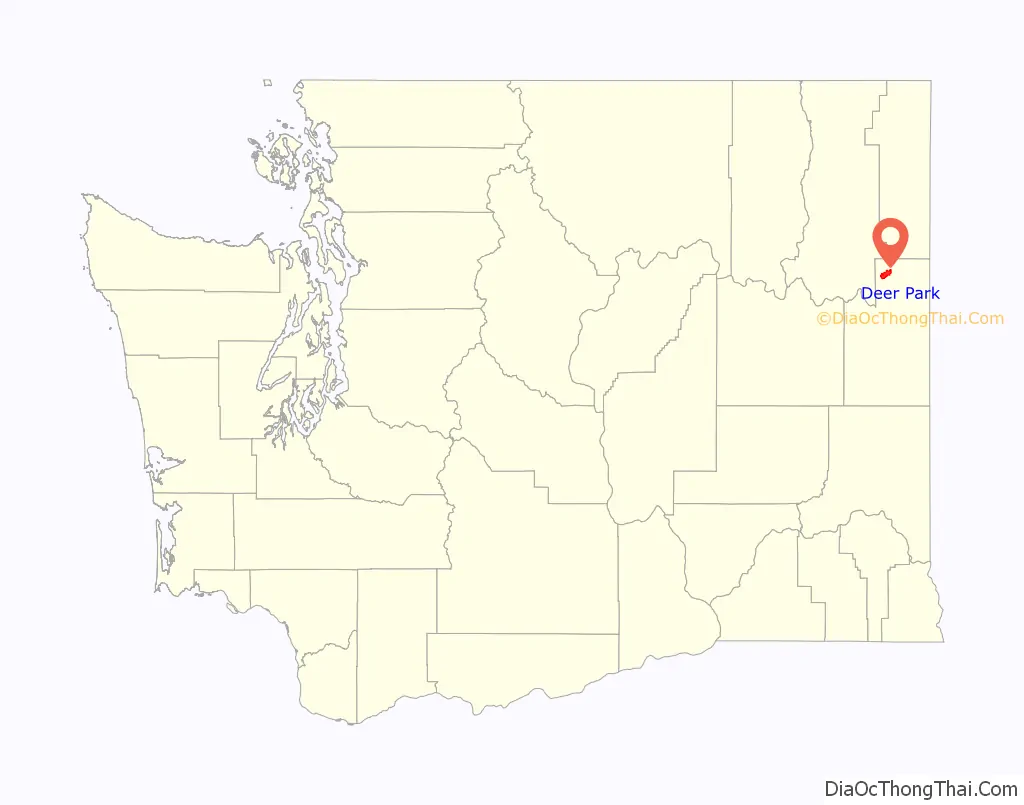
Deer Park location map. Where is Deer Park city?
History
North of Spokane, the city of Deer Park was officially incorporated 115 years ago on June 24, 1908. Deer Park got its name when railroad surveyors saw deer grazing in the area. It was settled in 1889 when a railroad siding was built for the Spokane Falls & Northern Railway. Soon the Standard Lumber Company sawmill was established by William Short and George Crawford to provide the lumber needed to rebuild the nearby city of Spokane Falls (later renamed Spokane) following the great fire of 1889. By 1900 the population of Deer Park was approximately 300 residents. In addition to the sawmill, the community consisted of three general stores (owned separately by P. Kelly, Dan Weis, and A. Baldwin), a blacksmith and harness shop, a livery and feed stable, Jeff Moore’s hotel, Dr. Prince’s drug store, a public school with approximately 75 students, and a Congregational church led by Rev. F. McConaughy. By this time there were as many as eight sawmills within ten miles of Deer Park, all of which got their supplies in, and employed residents of, the town.
Arcadia Apple Orchards Company was established around 1906, and orchards of apple trees were planted on the land surrounding Deer Park which had been cleared by the logging activity.
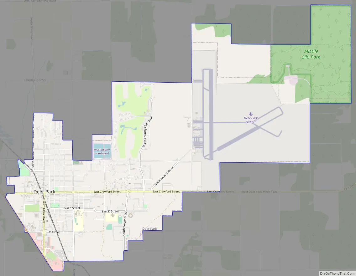
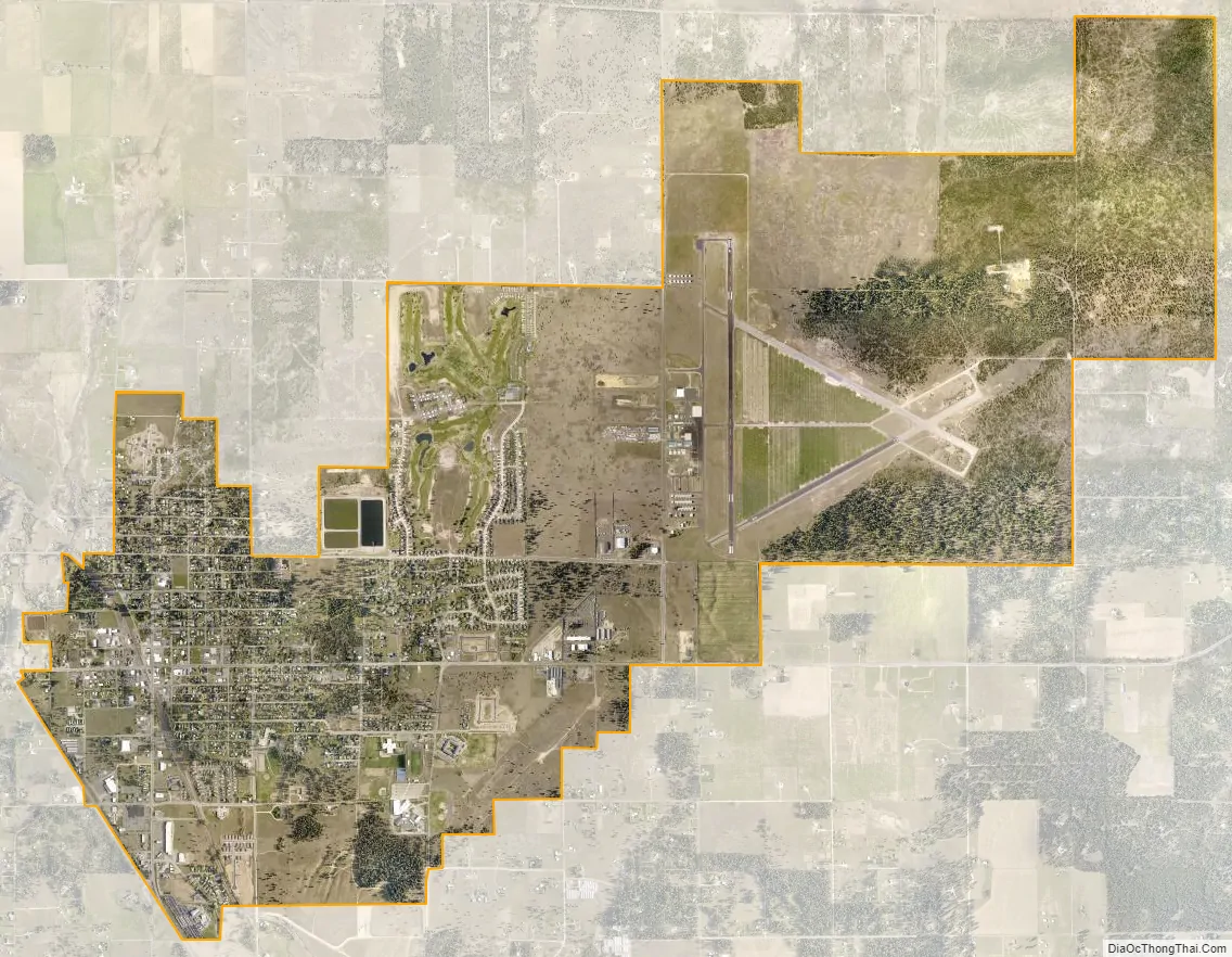
The municipal airport east of the city was built during World War II and dedicated 79 years ago in August 1944 with three paved runways, all at 6,100 feet (1,860 m) in length. During the early 1960s, an Atlas missile site (567-1) near the airport was operated by the 567th Strategic Missile Squadron of Fairchild AFB. Soon obsolete, the site was decommissioned in 1965 and sold for salvage in 1967.
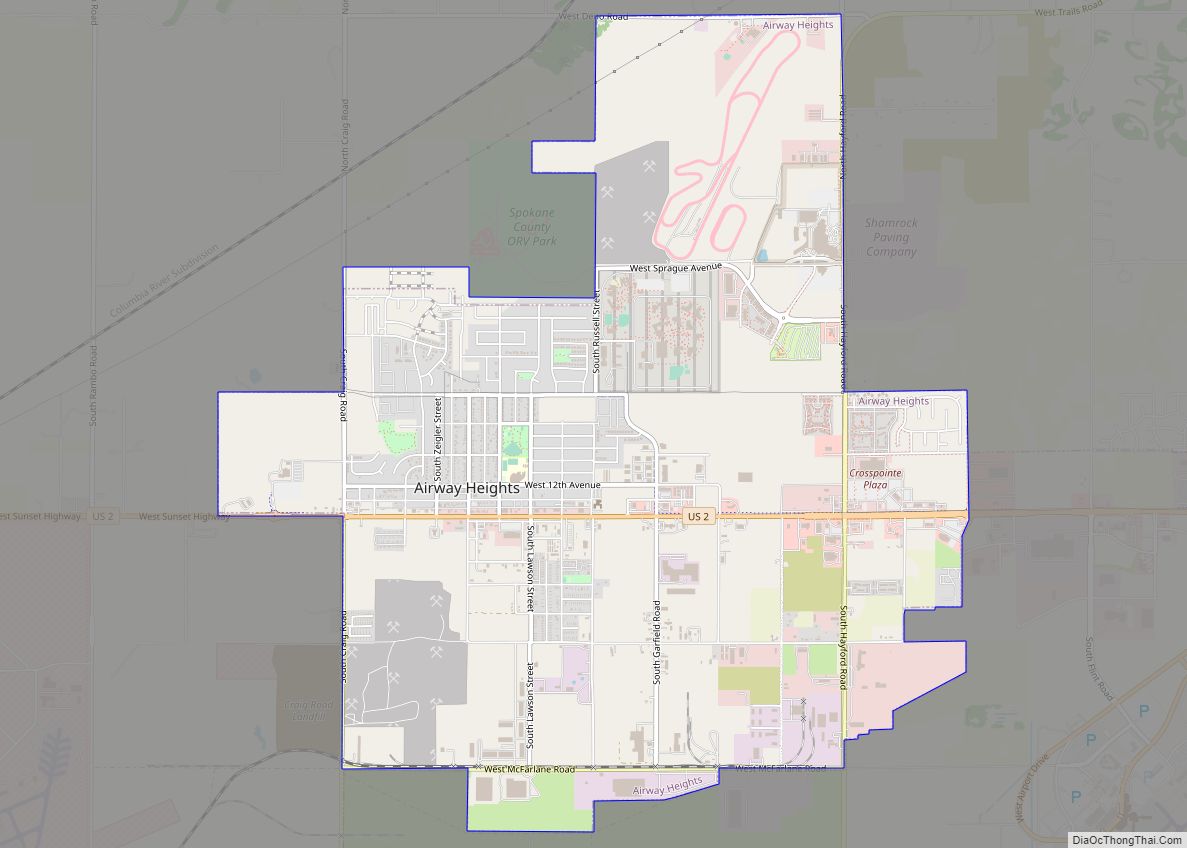
Deer Park Road Map
Deer Park city Satellite Map
Geography
Deer Park is located at 47°57′25″N 117°28′13″W / 47.95694°N 117.47028°W / 47.95694; -117.47028 (47.956922, -117.470230), at an elevation of 2,123 feet (647 m) above sea level.
According to the United States Census Bureau, the city has a total area of 6.89 square miles (17.85 km), all of it land.
Climate
According to the Köppen Climate Classification system, Deer Park has a Dry-summer continental climate, abbreviated “Dsb” on climate maps.
See also
Map of Washington State and its subdivision:- Adams
- Asotin
- Benton
- Chelan
- Clallam
- Clark
- Columbia
- Cowlitz
- Douglas
- Ferry
- Franklin
- Garfield
- Grant
- Grays Harbor
- Island
- Jefferson
- King
- Kitsap
- Kittitas
- Klickitat
- Lewis
- Lincoln
- Mason
- Okanogan
- Pacific
- Pend Oreille
- Pierce
- San Juan
- Skagit
- Skamania
- Snohomish
- Spokane
- Stevens
- Thurston
- Wahkiakum
- Walla Walla
- Whatcom
- Whitman
- Yakima
- Alabama
- Alaska
- Arizona
- Arkansas
- California
- Colorado
- Connecticut
- Delaware
- District of Columbia
- Florida
- Georgia
- Hawaii
- Idaho
- Illinois
- Indiana
- Iowa
- Kansas
- Kentucky
- Louisiana
- Maine
- Maryland
- Massachusetts
- Michigan
- Minnesota
- Mississippi
- Missouri
- Montana
- Nebraska
- Nevada
- New Hampshire
- New Jersey
- New Mexico
- New York
- North Carolina
- North Dakota
- Ohio
- Oklahoma
- Oregon
- Pennsylvania
- Rhode Island
- South Carolina
- South Dakota
- Tennessee
- Texas
- Utah
- Vermont
- Virginia
- Washington
- West Virginia
- Wisconsin
- Wyoming