Duvall is a city in King County, Washington, United States, located on SR 203 halfway between Monroe and Carnation. The population was 8,034 at the 2020 census.
| Name: | Duvall city |
|---|---|
| LSAD Code: | 25 |
| LSAD Description: | city (suffix) |
| State: | Washington |
| County: | King County |
| Elevation: | 89 ft (27 m) |
| Total Area: | 2.47 sq mi (6.40 km²) |
| Land Area: | 2.45 sq mi (6.35 km²) |
| Water Area: | 0.02 sq mi (0.05 km²) |
| Total Population: | 8,034 |
| Population Density: | 3,307.63/sq mi (1,277.25/km²) |
| ZIP code: | 98019 |
| Area code: | 425 844 |
| FIPS code: | 5319035 |
| GNISfeature ID: | 1512165 |
| Website: | duvallwa.gov |
Online Interactive Map
Click on ![]() to view map in "full screen" mode.
to view map in "full screen" mode.
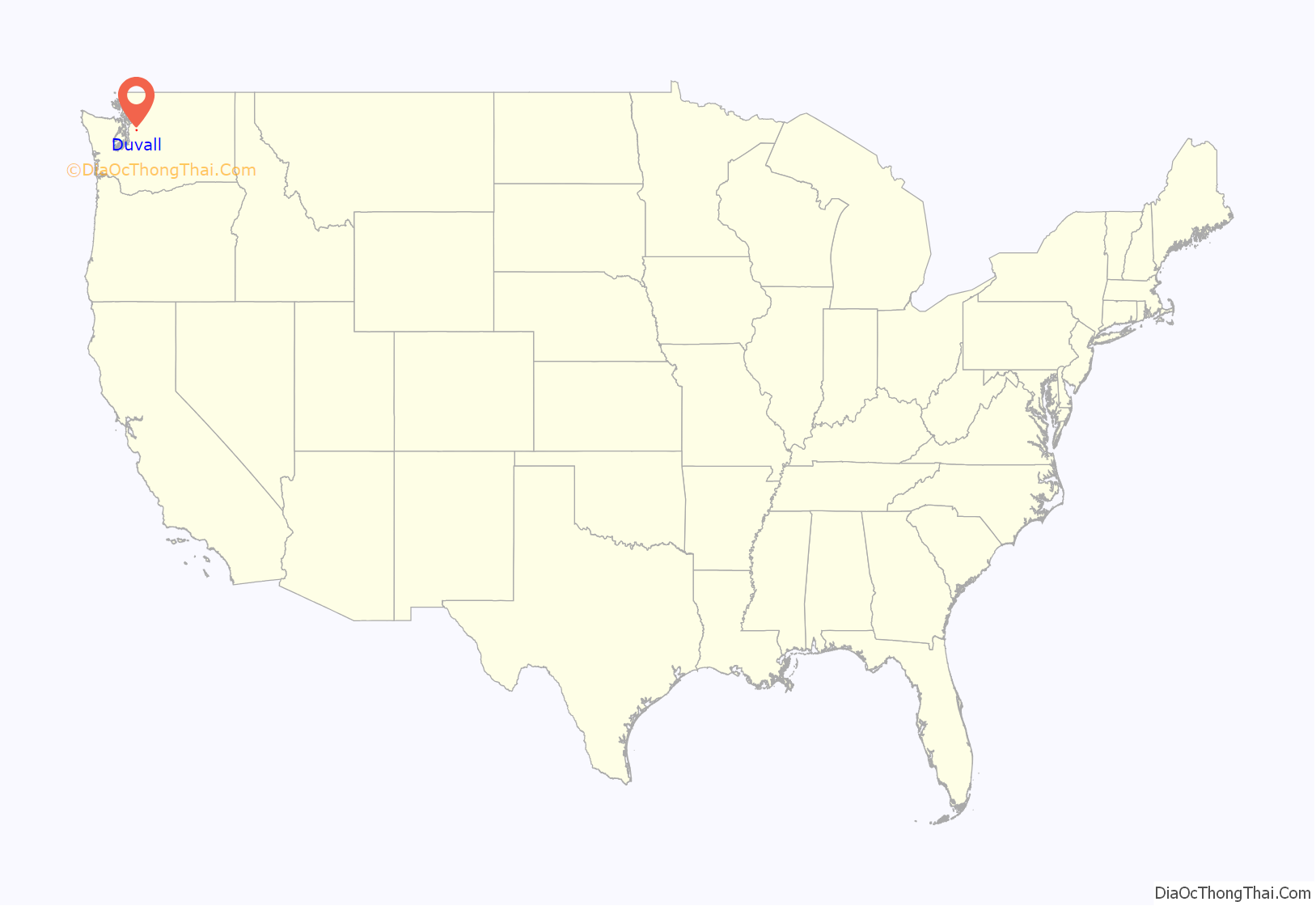
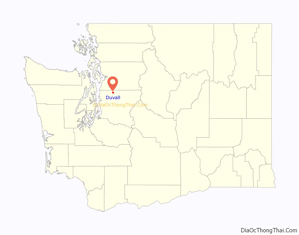
Duvall location map. Where is Duvall city?
History
The area that became known as Duvall was historically the home of the Snoqualmie and other ancestral Tulalip Native American tribes. Following their relocation under the Treaty of Point Elliott, the area was homesteaded by veterans of the Civil War. The center of present-day town was located on a hillside homesteaded by Francis and James Duvall, loggers who arrived in 1871.
An early milestone in the settlement of Duvall proper was the relocation of the town of Cherry Valley. Around 1909, the Chicago, Milwaukee and St. Paul Railroad agreed to move Cherry Valley homes and businesses to Duvall in order to continue the construction of a railroad line along the Snoqualmie River. The newly relocated town, briefly named Cosgrove after Samuel G. Cosgrove, underwent a real estate boom; streets and sidewalks were laid and a train depot was constructed. This was followed by construction of a movie house, a drug store, a new schoolhouse, and several hotels. By 1911, the Duvall Citizen began publishing regular editions of news events.
On April 28, 1968, nearly 3,000 fans attended a rock concert at a farm in Duvall where an upright piano was dropped from a helicopter. Performances included Country Joe and the Fish. This concert is well known to locals as the Piano Drop. This event inspired the Sky River Rock Festival which occurred later that year.
The town of Duvall experienced a great amount of construction during the period of 2008–2009 with the aim of making the one-road town center more accessible and presentable to tourists.
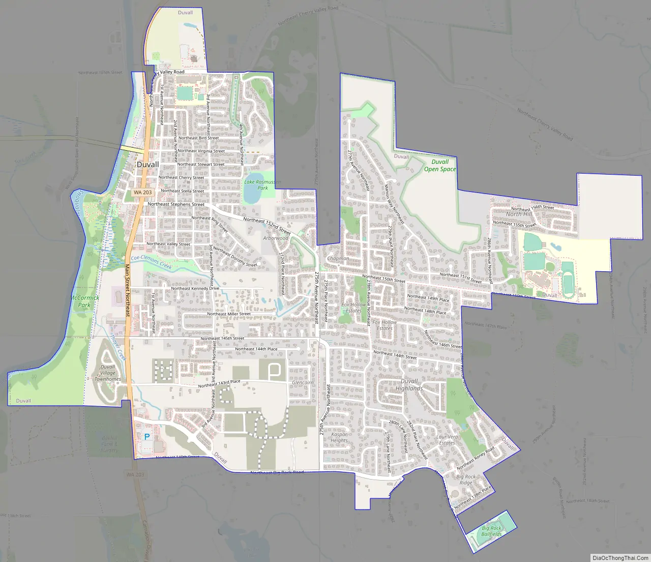
Duvall Road Map
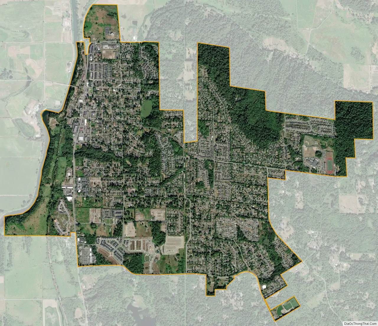
Duvall city Satellite Map
Geography
Duvall is located at 47°44′3″N 121°58′32″W / 47.73417°N 121.97556°W / 47.73417; -121.97556 (47.734149, -121.975493).
According to the United States Census Bureau, the city has a total area of 2.49 square miles (6.45 km), of which, 2.47 square miles (6.40 km) is land and 0.02 square miles (0.05 km) is water.
Climate
The climate in this area has mild differences between highs and lows, with adequate rainfall year-round. Due to its location relative to the Northern Cascades, the surrounding Snoqualmie Valley is subject to flooding from late fall to early spring. According to the Köppen Climate Classification system, Duvall has a marine west coast climate, abbreviated “Cfb” on climate maps.
See also
Map of Washington State and its subdivision:- Adams
- Asotin
- Benton
- Chelan
- Clallam
- Clark
- Columbia
- Cowlitz
- Douglas
- Ferry
- Franklin
- Garfield
- Grant
- Grays Harbor
- Island
- Jefferson
- King
- Kitsap
- Kittitas
- Klickitat
- Lewis
- Lincoln
- Mason
- Okanogan
- Pacific
- Pend Oreille
- Pierce
- San Juan
- Skagit
- Skamania
- Snohomish
- Spokane
- Stevens
- Thurston
- Wahkiakum
- Walla Walla
- Whatcom
- Whitman
- Yakima
- Alabama
- Alaska
- Arizona
- Arkansas
- California
- Colorado
- Connecticut
- Delaware
- District of Columbia
- Florida
- Georgia
- Hawaii
- Idaho
- Illinois
- Indiana
- Iowa
- Kansas
- Kentucky
- Louisiana
- Maine
- Maryland
- Massachusetts
- Michigan
- Minnesota
- Mississippi
- Missouri
- Montana
- Nebraska
- Nevada
- New Hampshire
- New Jersey
- New Mexico
- New York
- North Carolina
- North Dakota
- Ohio
- Oklahoma
- Oregon
- Pennsylvania
- Rhode Island
- South Carolina
- South Dakota
- Tennessee
- Texas
- Utah
- Vermont
- Virginia
- Washington
- West Virginia
- Wisconsin
- Wyoming


