East Renton Highlands is a census-designated place (CDP) in King County, Washington, United States, located between Issaquah and Renton. The population was 11,937 at the 2020 census.
| Name: | East Renton Highlands CDP |
|---|---|
| LSAD Code: | 57 |
| LSAD Description: | CDP (suffix) |
| State: | Washington |
| County: | King County |
| Elevation: | 525 ft (160 m) |
| Total Area: | 11.4 sq mi (29.5 km²) |
| Land Area: | 11.3 sq mi (29.3 km²) |
| Water Area: | 0.08 sq mi (0.2 km²) |
| Total Population: | 11,937 |
| Population Density: | 984/sq mi (380.0/km²) |
| FIPS code: | 5319857 |
| GNISfeature ID: | 1867606 |
Online Interactive Map
Click on ![]() to view map in "full screen" mode.
to view map in "full screen" mode.
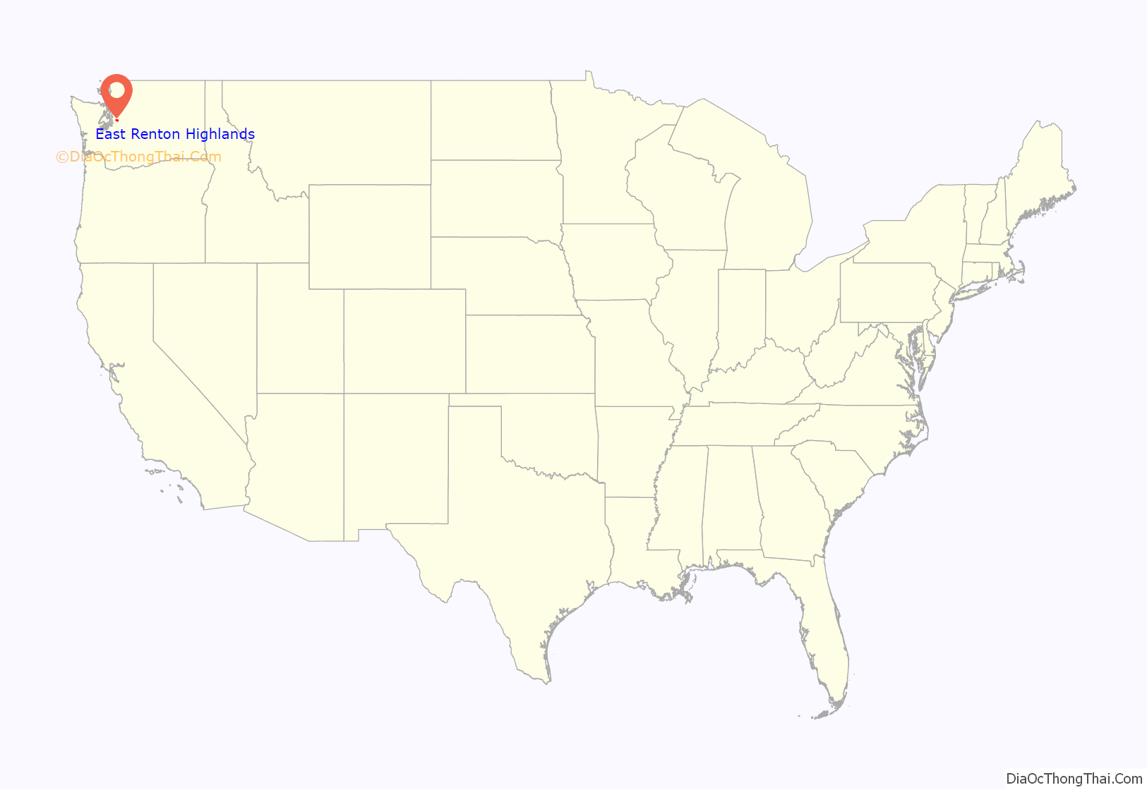
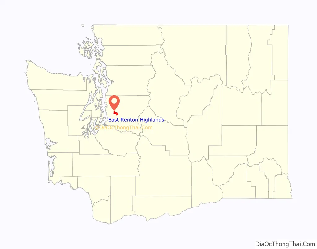
East Renton Highlands location map. Where is East Renton Highlands CDP?
History
In 1996, the city of Renton proposed an annexation of the Maplewood Heights area, part of the plateau’s western edge, but it was rejected by voters. A competing proposal to create a new city named Briarwood was also rejected by voters in a March 1998 election.
East Renton Highlands is part of the potential annexation area (PAA) of Renton, but in February 2007 voters defeated a 1,475-acre (5.97 km) annexation proposal 3 to 1. In January 2008, the Renton City Council accepted a petition, using the 60% Direct Method, for the proposed Liberty Annexation: 193 acres (0.78 km) located in the vicinity of 156th Avenue SE, SE 144th Street, and SE 134th Street.
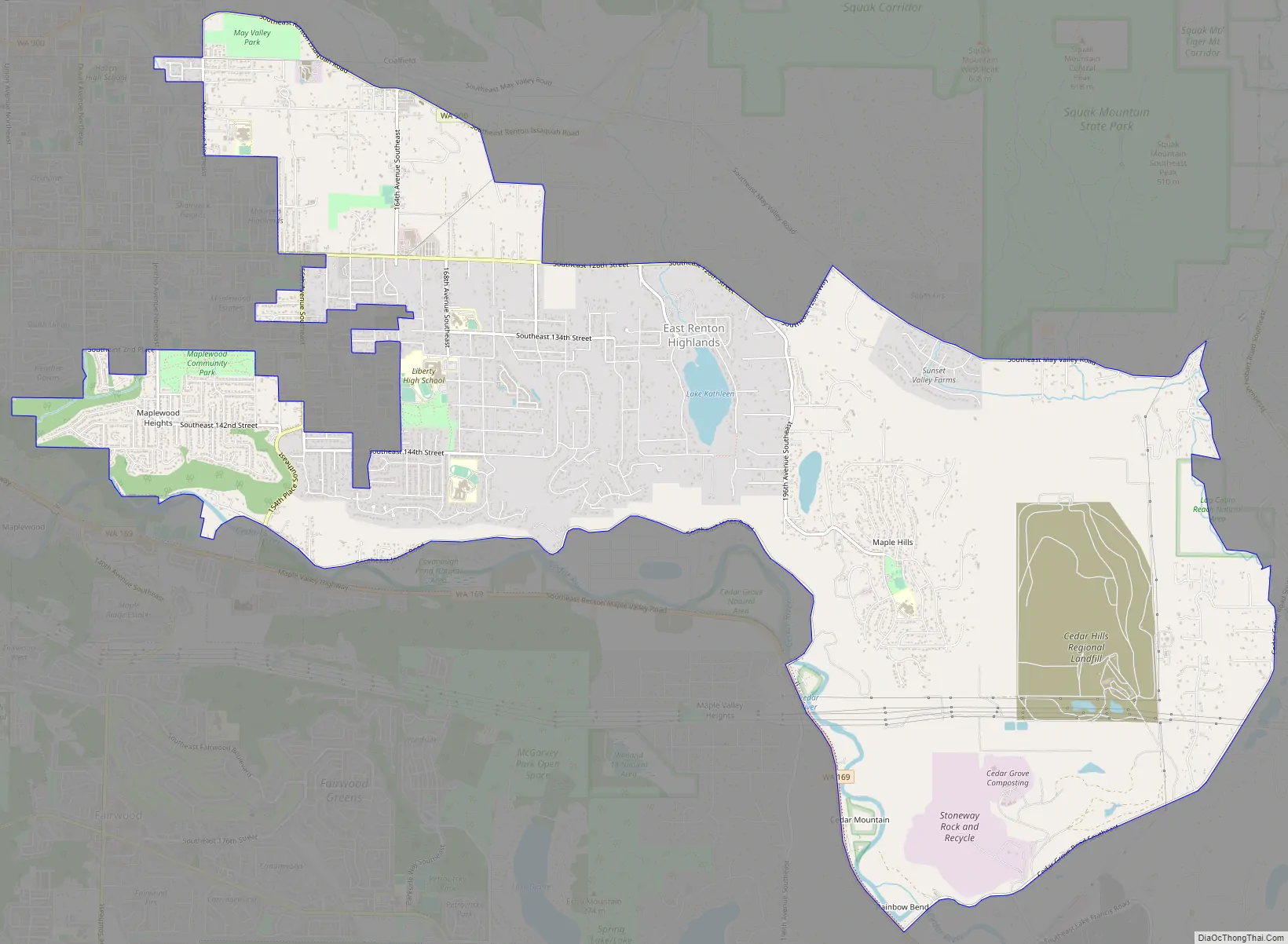
East Renton Highlands Road Map
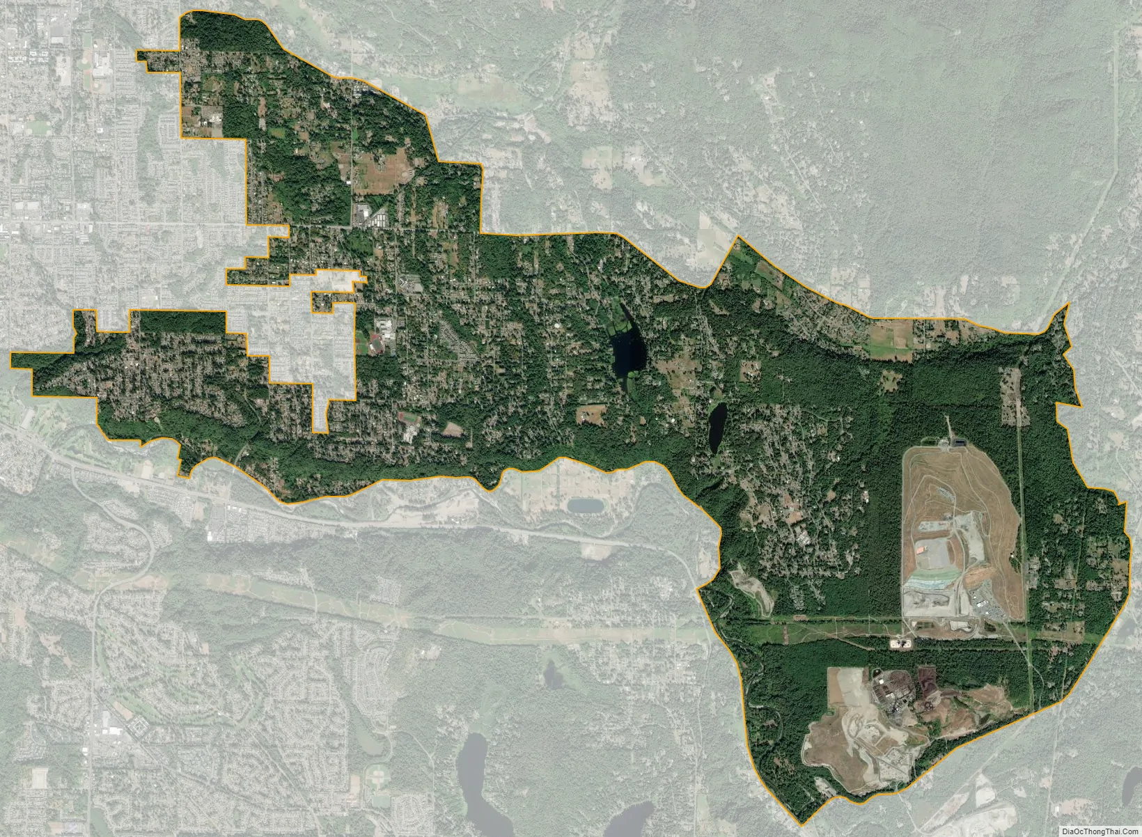
East Renton Highlands city Satellite Map
Geography
East Renton Highlands is located at 47°28′52″N 122°7′7″W / 47.48111°N 122.11861°W / 47.48111; -122.11861 (47.481022, -122.118605). It is bordered to the west by the city of Renton, to the east by the Mirrormont CDP, and to the southeast by the Hobart CDP. To the south is the Cedar River. East Renton Highlands is 17 miles (27 km) southeast of downtown Seattle.
According to the United States Census Bureau, the CDP has a total area of 11.4 square miles (29.5 km), of which 11.3 square miles (29.3 km) are land and 0.1 square miles (0.2 km), or 0.57%, are water.
See also
Map of Washington State and its subdivision:- Adams
- Asotin
- Benton
- Chelan
- Clallam
- Clark
- Columbia
- Cowlitz
- Douglas
- Ferry
- Franklin
- Garfield
- Grant
- Grays Harbor
- Island
- Jefferson
- King
- Kitsap
- Kittitas
- Klickitat
- Lewis
- Lincoln
- Mason
- Okanogan
- Pacific
- Pend Oreille
- Pierce
- San Juan
- Skagit
- Skamania
- Snohomish
- Spokane
- Stevens
- Thurston
- Wahkiakum
- Walla Walla
- Whatcom
- Whitman
- Yakima
- Alabama
- Alaska
- Arizona
- Arkansas
- California
- Colorado
- Connecticut
- Delaware
- District of Columbia
- Florida
- Georgia
- Hawaii
- Idaho
- Illinois
- Indiana
- Iowa
- Kansas
- Kentucky
- Louisiana
- Maine
- Maryland
- Massachusetts
- Michigan
- Minnesota
- Mississippi
- Missouri
- Montana
- Nebraska
- Nevada
- New Hampshire
- New Jersey
- New Mexico
- New York
- North Carolina
- North Dakota
- Ohio
- Oklahoma
- Oregon
- Pennsylvania
- Rhode Island
- South Carolina
- South Dakota
- Tennessee
- Texas
- Utah
- Vermont
- Virginia
- Washington
- West Virginia
- Wisconsin
- Wyoming


