Enetai is a census-designated place (CDP) located in Kitsap County, Washington. The population was 2,497 at the 2020 census.
| Name: | Enetai CDP |
|---|---|
| LSAD Code: | 57 |
| LSAD Description: | CDP (suffix) |
| State: | Washington |
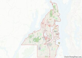
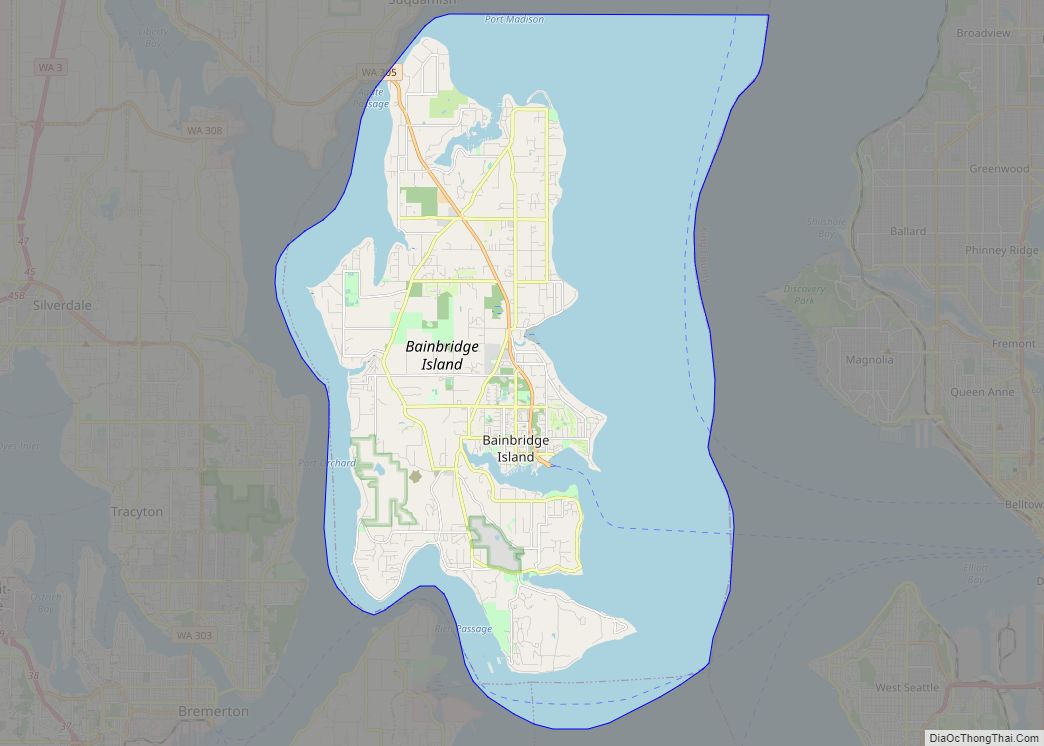
| County: | Kitsap County |
| Elevation: | 243 ft (74 m) |
| Total Area: | 1.03 sq mi (2.7 km²) |
| Total Population: | 2,497 |
| Population Density: | 2,400/sq mi (940/km²) |
| Area code: | 360 |
| FIPS code: | 5321800 |
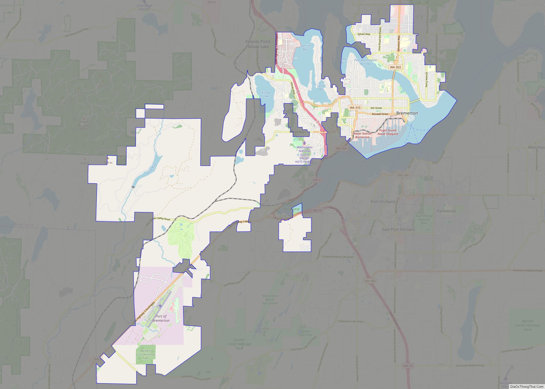
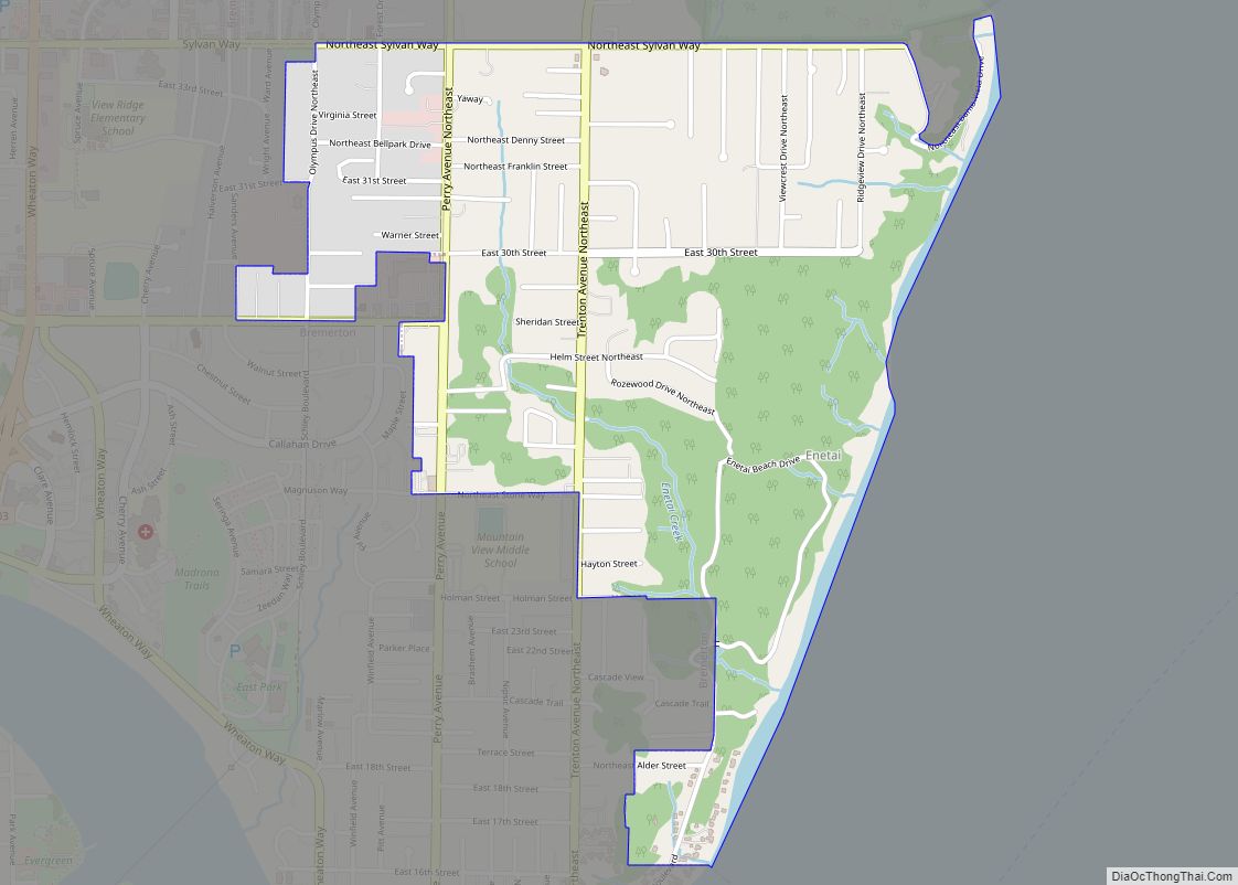
Online Interactive Map
Click on ![]() to view map in "full screen" mode.
to view map in "full screen" mode.
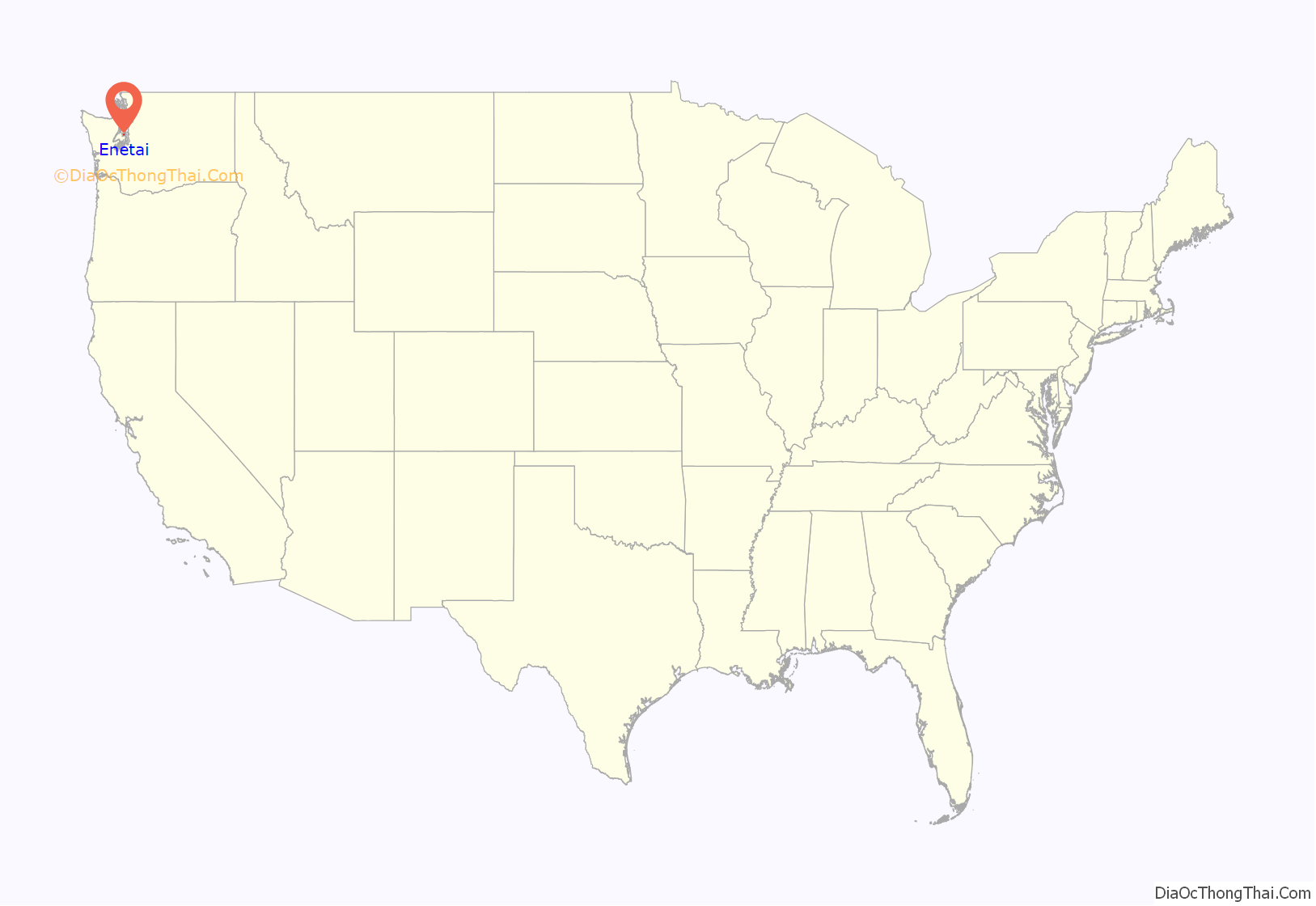
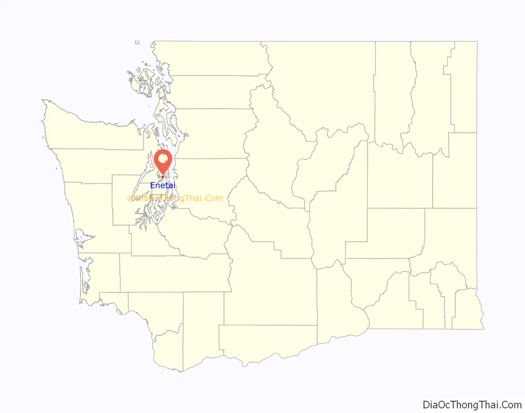
Enetai location map. Where is Enetai CDP?
History
Enetai was the site of the Southern Lushootseed speaking native Salish peoples, similar to Seattle across the sound. Its name is derived from northwestern native language’s term meaning “Across the water”
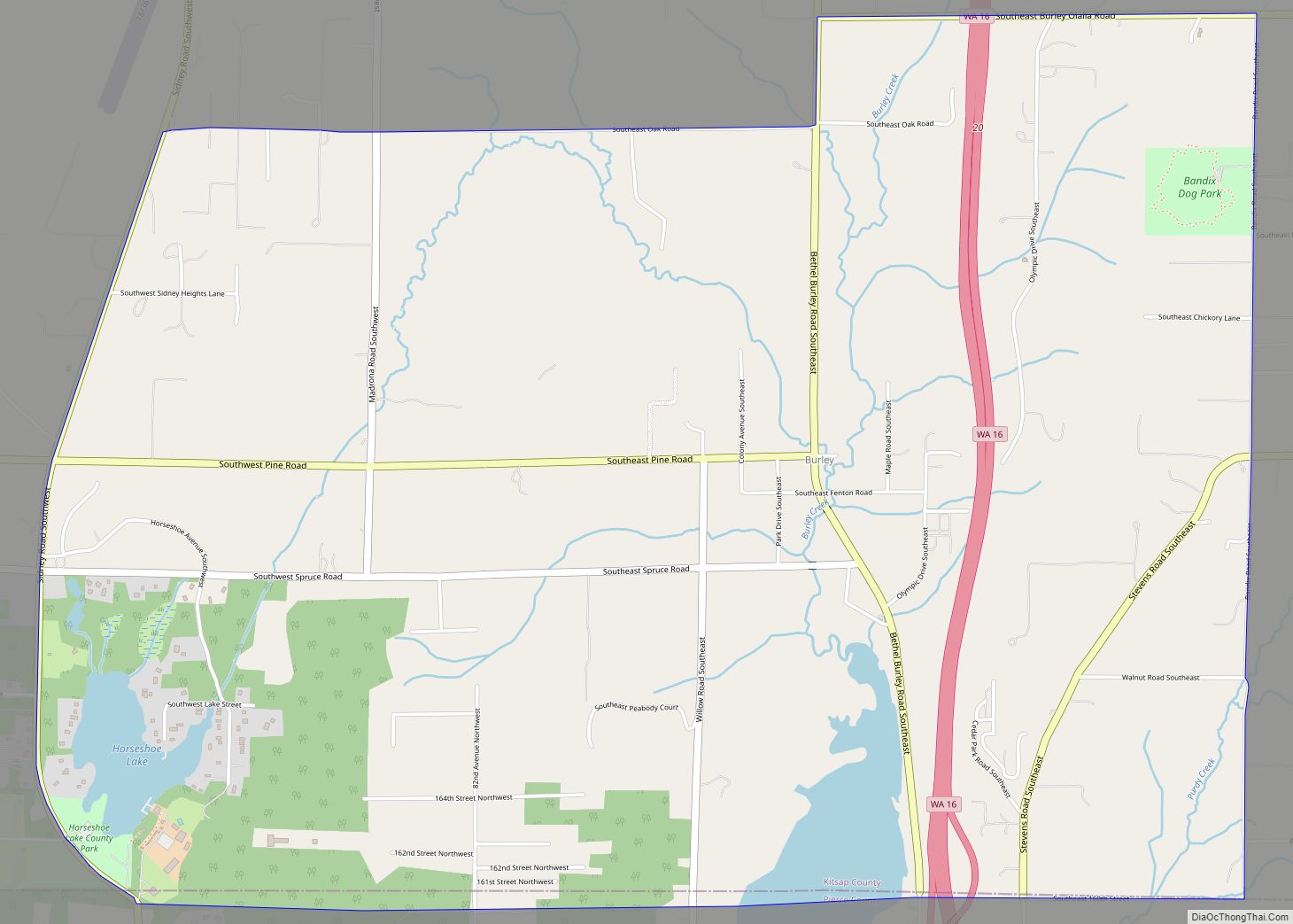
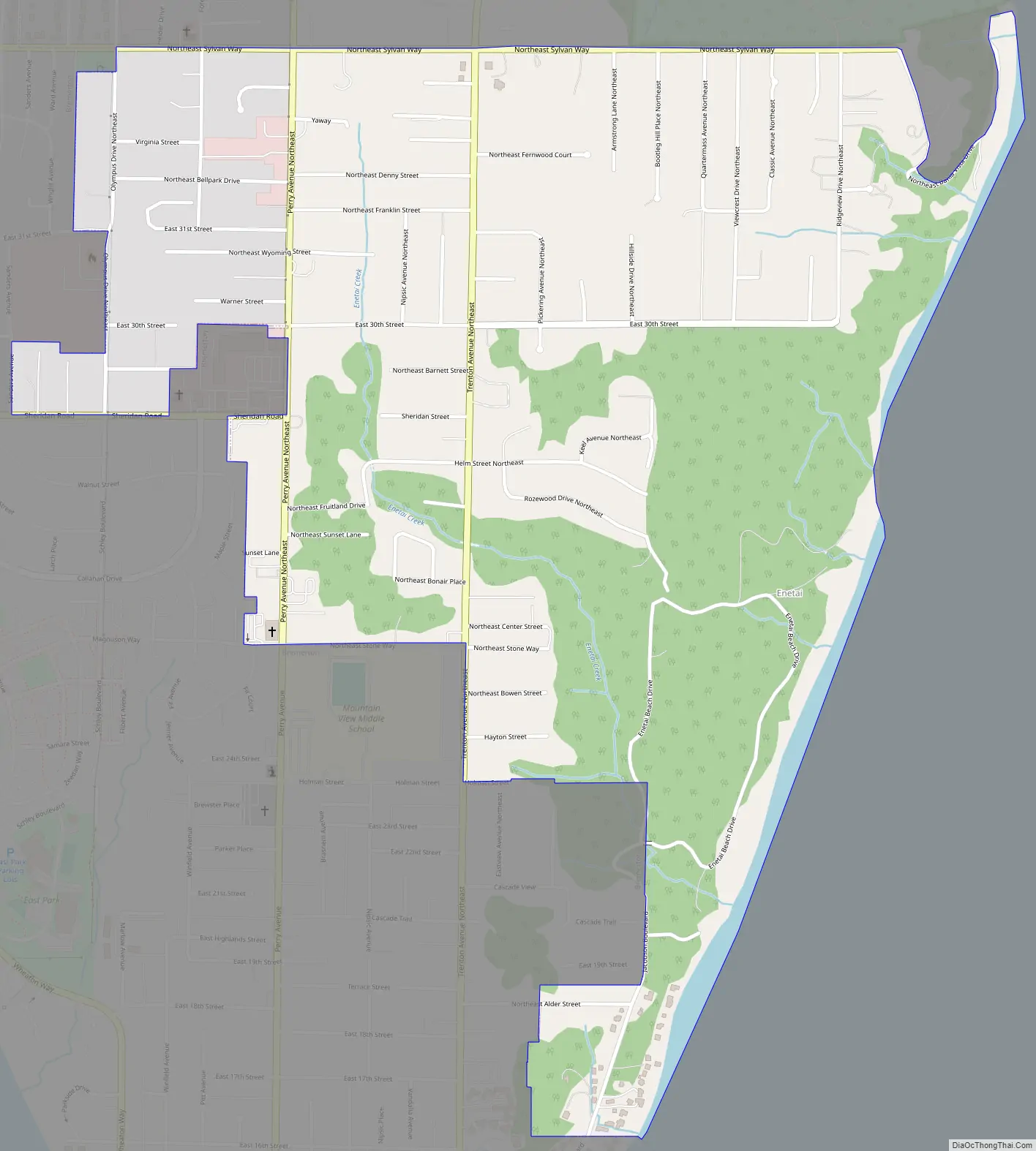
Enetai Road Map
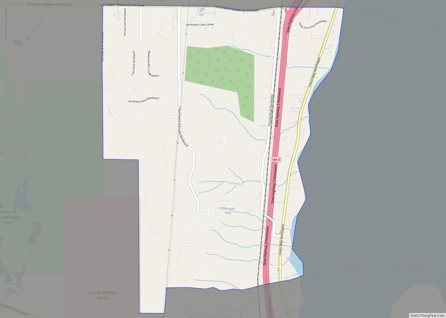
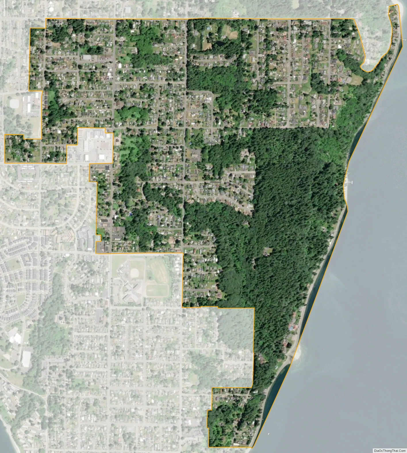
Enetai city Satellite Map
Geography
Enetai is located at coordinates 47°35′18″N 122°36′21″W.
See also
Map of Washington State and its subdivision:- Adams
- Asotin
- Benton
- Chelan
- Clallam
- Clark
- Columbia
- Cowlitz
- Douglas
- Ferry
- Franklin
- Garfield
- Grant
- Grays Harbor
- Island
- Jefferson
- King
- Kitsap
- Kittitas
- Klickitat
- Lewis
- Lincoln
- Mason
- Okanogan
- Pacific
- Pend Oreille
- Pierce
- San Juan
- Skagit
- Skamania
- Snohomish
- Spokane
- Stevens
- Thurston
- Wahkiakum
- Walla Walla
- Whatcom
- Whitman
- Yakima
- Alabama
- Alaska
- Arizona
- Arkansas
- California
- Colorado
- Connecticut
- Delaware
- District of Columbia
- Florida
- Georgia
- Hawaii
- Idaho
- Illinois
- Indiana
- Iowa
- Kansas
- Kentucky
- Louisiana
- Maine
- Maryland
- Massachusetts
- Michigan
- Minnesota
- Mississippi
- Missouri
- Montana
- Nebraska
- Nevada
- New Hampshire
- New Jersey
- New Mexico
- New York
- North Carolina
- North Dakota
- Ohio
- Oklahoma
- Oregon
- Pennsylvania
- Rhode Island
- South Carolina
- South Dakota
- Tennessee
- Texas
- Utah
- Vermont
- Virginia
- Washington
- West Virginia
- Wisconsin
- Wyoming