Entiat /ˈɛn(t)iˌæt/ is a city in Chelan County, Washington, United States. It is part of the Wenatchee−East Wenatchee Metropolitan Statistical Area. The population was 1,326 at the 2020 census.
The name “Entiat” refers to the indigenous Entiat people, whose name comes from the Moses-Columbian Salishan word /nt’yátkʷ/, [nt’iátkʷ], “place of grassy water”, from /na-/, “place”, /st’íyaʔ/, “tall grass, hay”, and /-atkʷ/, “water”.
| Name: | Entiat city |
|---|---|
| LSAD Code: | 25 |
| LSAD Description: | city (suffix) |
| State: | Washington |
| County: | Chelan County |
| Incorporated: | April 25, 1944 |
| Elevation: | 800 ft (244 m) |
| Total Area: | 2.82 sq mi (7.29 km²) |
| Land Area: | 2.18 sq mi (5.64 km²) |
| Water Area: | 0.64 sq mi (1.65 km²) |
| Total Population: | 1,326 |
| Population Density: | 587.43/sq mi (226.81/km²) |
| ZIP code: | 98822 |
| Area code: | 509 |
| FIPS code: | 5322010 |
| GNISfeature ID: | 1519355 |
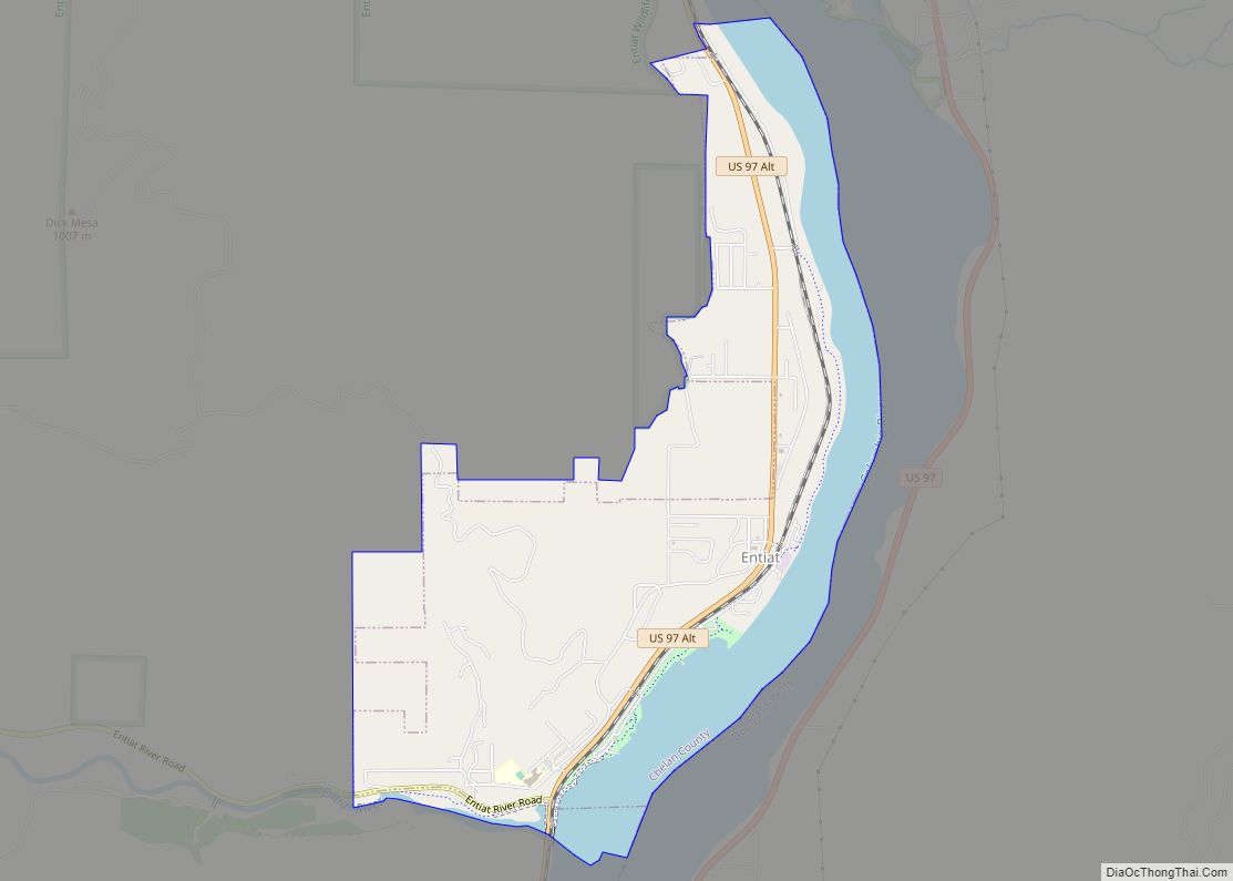
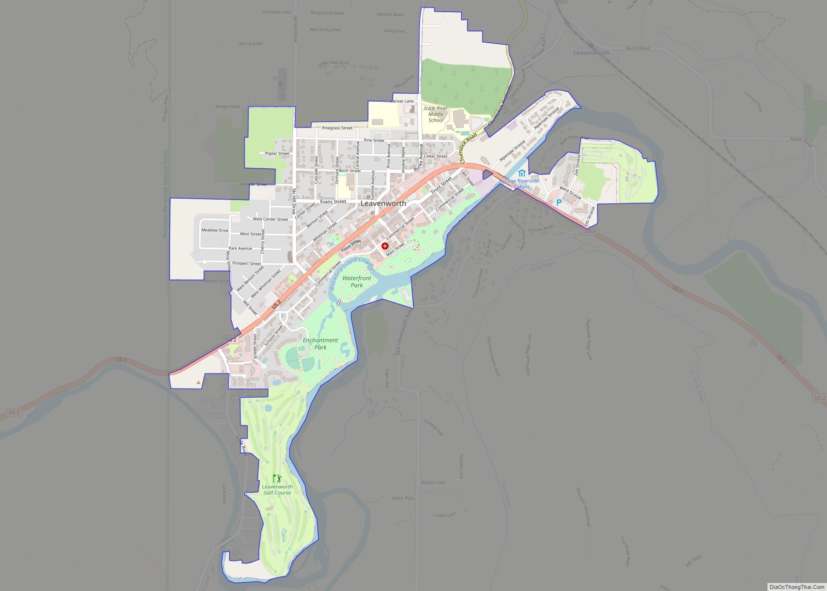
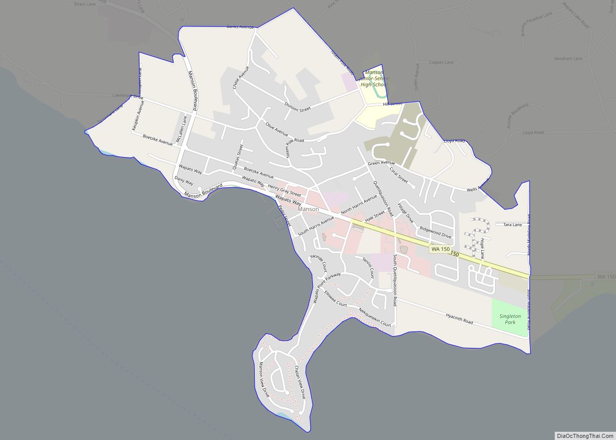
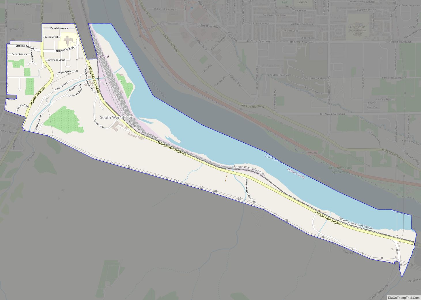
Online Interactive Map
Click on ![]() to view map in "full screen" mode.
to view map in "full screen" mode.
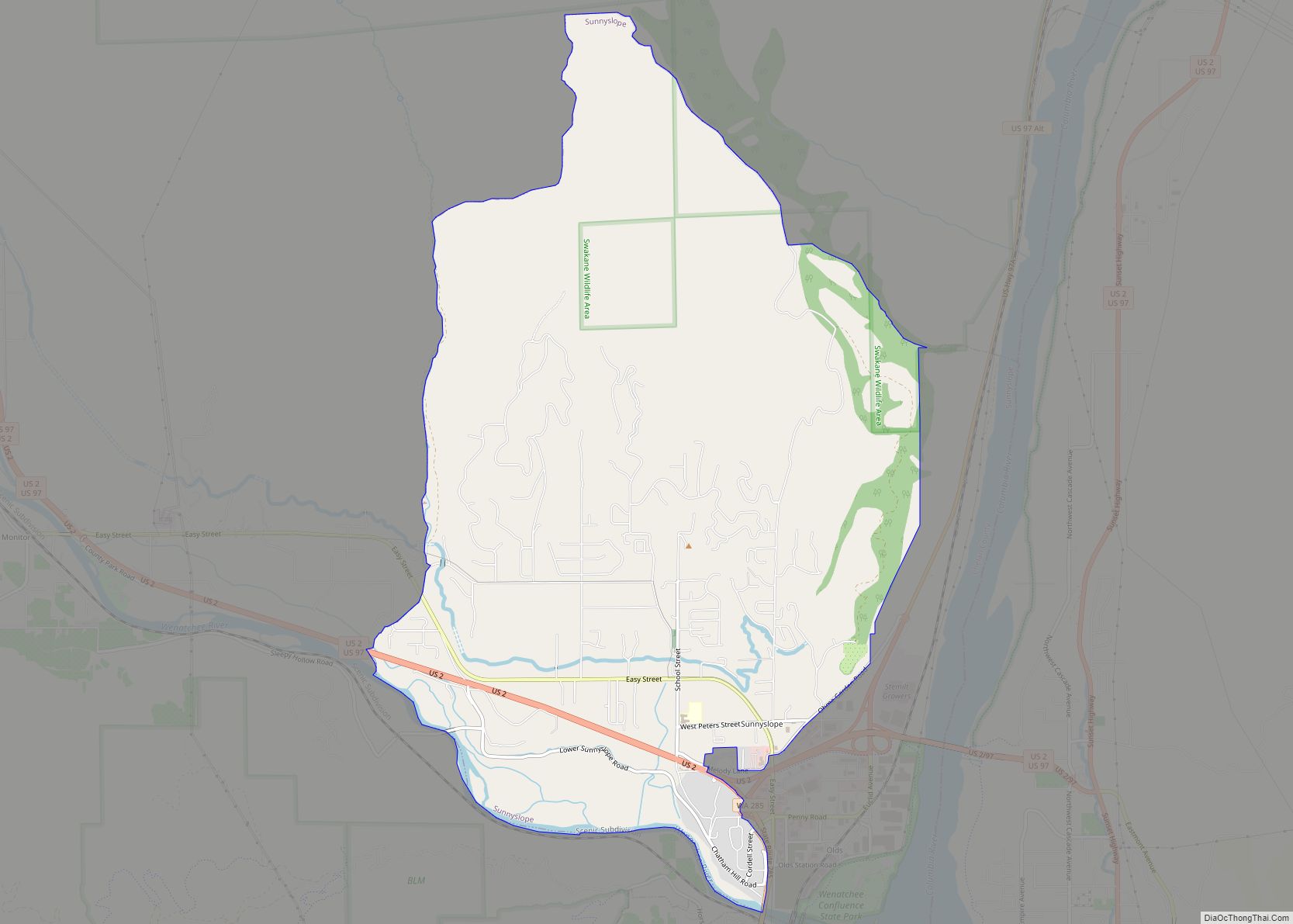
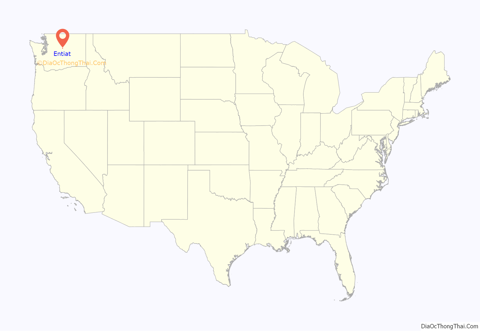
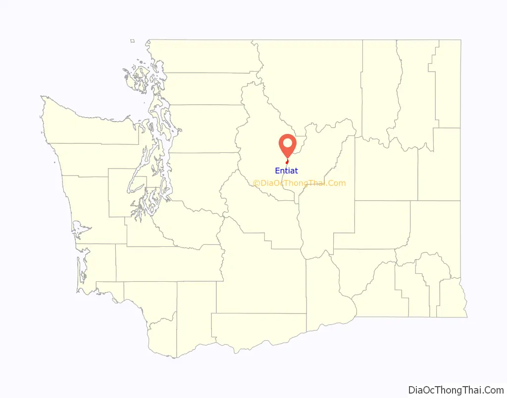
Entiat location map. Where is Entiat city?
History
In 1877, the first white settler arrived in the Entiat Valley, Lewis Detwiler. The first public school was established in Entiat in 1891. In 1895 the first Entiat Post Office was established. In 1903 the Chief of the Entiat Indian tribe, Shil-how-Saskt (Silico Saska) died. The Entiat Power Plant opened for business in 1908. The Keystone Fruit Company opened for business in the valley in 1910. E.P. Murphy began publishing the Entiat Times in 1913, and railroad service began in Entiat in 1914. In 1915 a second fire threatened the “first” town of Entiat and only six businesses survived. The Entiat school opened in 1916 in its current location. In 1921 the “second” town of Entiat was secured, as the remaining buildings of town “one” burned down. In 1920, the tradition of Numeral Mountain began as High School seniors painted their graduation class number on the Mountainside across the Entiat River from the school. Entiat was officially incorporated on April 25, 1944. In 1960, Rocky Reach Dam was constructed downriver from Entiat, much of the town had to be relocated to higher ground due to the rising waters behind the dam. Most of the original buildings were razed or moved to a location north of the original town. The “third” town of Entiat was “officially” open for business in 1961. The new Entiat Park re-opened for camping on Friday, May 22, 2015 after being closed for over a year.
Entiat Road Map
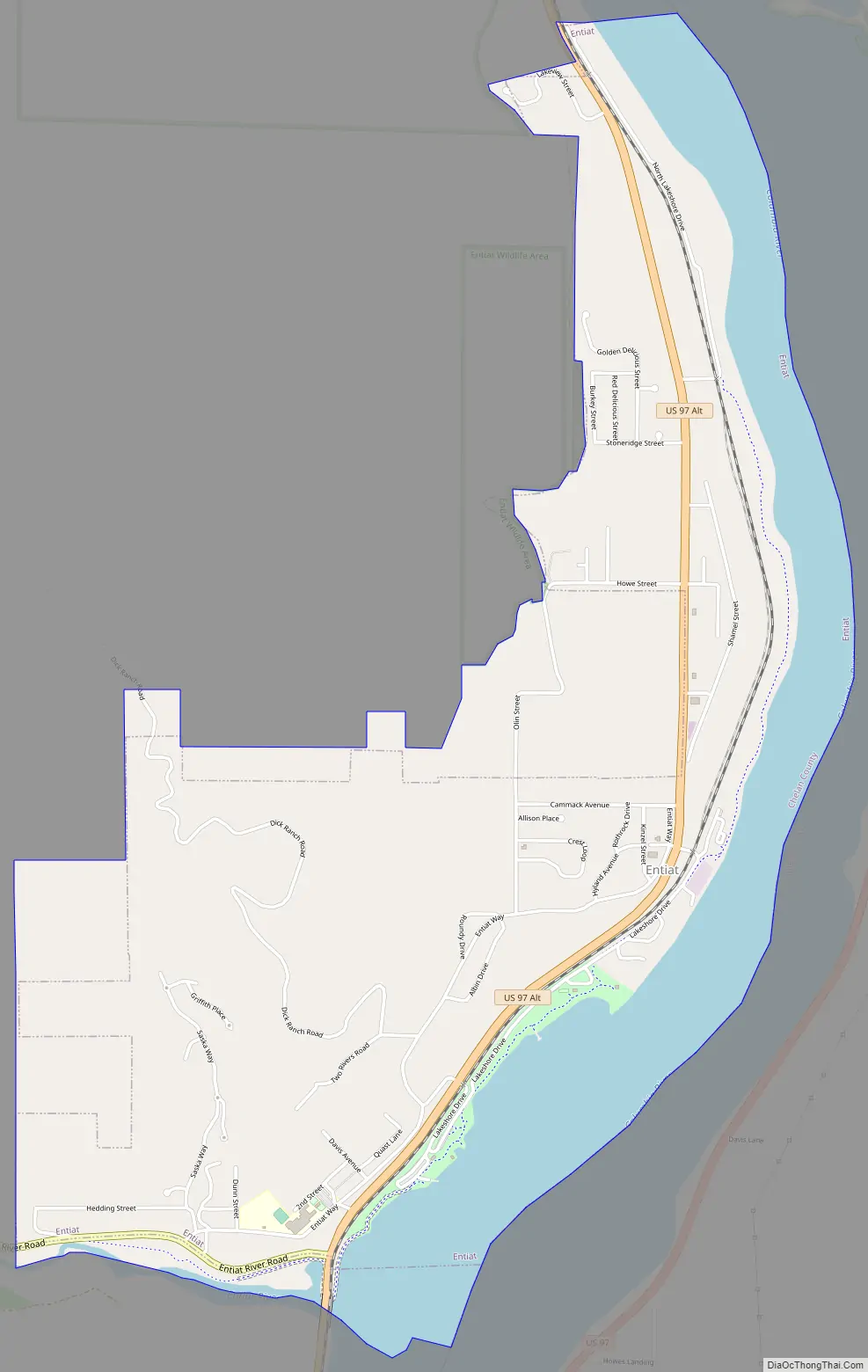
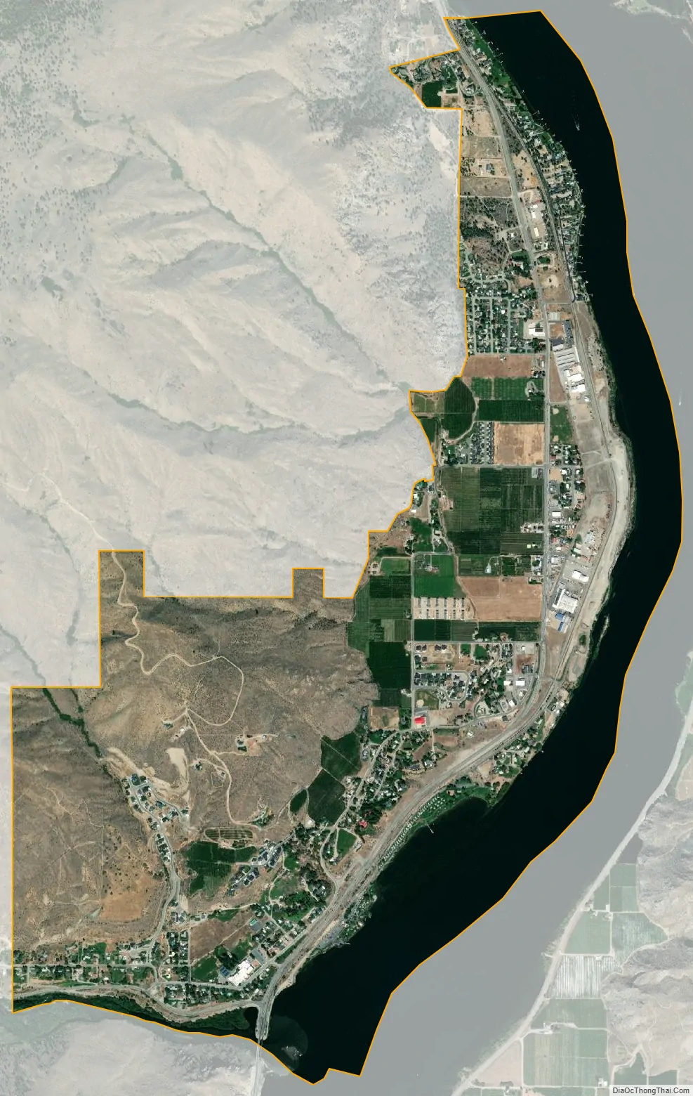
Entiat city Satellite Map
Geography
Entiat is located at the confluence of the Entiat and Columbia rivers. This section of the Columbia is known as Lake Entiat. This is the reservoir formed behind Rocky Reach Dam. The town is situated between the eastern foothills of the Cascade Mountain range, Lake Entiat and the Entiat River. Entiat is located at 47°40′40″N 120°12′47″W / 47.67778°N 120.21306°W / 47.67778; -120.21306 (47.677640, -120.213149).
According to the United States Census Bureau, the city has a total area of 2.74 square miles (7.10 km), of which, 2.11 square miles (5.46 km) is land and 0.63 square miles (1.63 km) is water.
See also
Map of Washington State and its subdivision:- Adams
- Asotin
- Benton
- Chelan
- Clallam
- Clark
- Columbia
- Cowlitz
- Douglas
- Ferry
- Franklin
- Garfield
- Grant
- Grays Harbor
- Island
- Jefferson
- King
- Kitsap
- Kittitas
- Klickitat
- Lewis
- Lincoln
- Mason
- Okanogan
- Pacific
- Pend Oreille
- Pierce
- San Juan
- Skagit
- Skamania
- Snohomish
- Spokane
- Stevens
- Thurston
- Wahkiakum
- Walla Walla
- Whatcom
- Whitman
- Yakima
- Alabama
- Alaska
- Arizona
- Arkansas
- California
- Colorado
- Connecticut
- Delaware
- District of Columbia
- Florida
- Georgia
- Hawaii
- Idaho
- Illinois
- Indiana
- Iowa
- Kansas
- Kentucky
- Louisiana
- Maine
- Maryland
- Massachusetts
- Michigan
- Minnesota
- Mississippi
- Missouri
- Montana
- Nebraska
- Nevada
- New Hampshire
- New Jersey
- New Mexico
- New York
- North Carolina
- North Dakota
- Ohio
- Oklahoma
- Oregon
- Pennsylvania
- Rhode Island
- South Carolina
- South Dakota
- Tennessee
- Texas
- Utah
- Vermont
- Virginia
- Washington
- West Virginia
- Wisconsin
- Wyoming