Esperance is a census-designated place (CDP) in Snohomish County, Washington, United States. Esperance is an enclave of the city of Edmonds, Washington. The population was 3,601 at the 2010 census.
| Name: | Esperance CDP |
|---|---|
| LSAD Code: | 57 |
| LSAD Description: | CDP (suffix) |
| State: | Washington |
| County: | Snohomish County |
| Elevation: | 364 ft (111 m) |
| Total Area: | 0.7 sq mi (1.9 km²) |
| Land Area: | 0.7 sq mi (1.9 km²) |
| Water Area: | 0.0 sq mi (0.0 km²) |
| Total Population: | 3,601 |
| Population Density: | 4,852.4/sq mi (1,873.5/km²) |
| FIPS code: | 5322255 |
| GNISfeature ID: | 1867608 |
Online Interactive Map
Click on ![]() to view map in "full screen" mode.
to view map in "full screen" mode.
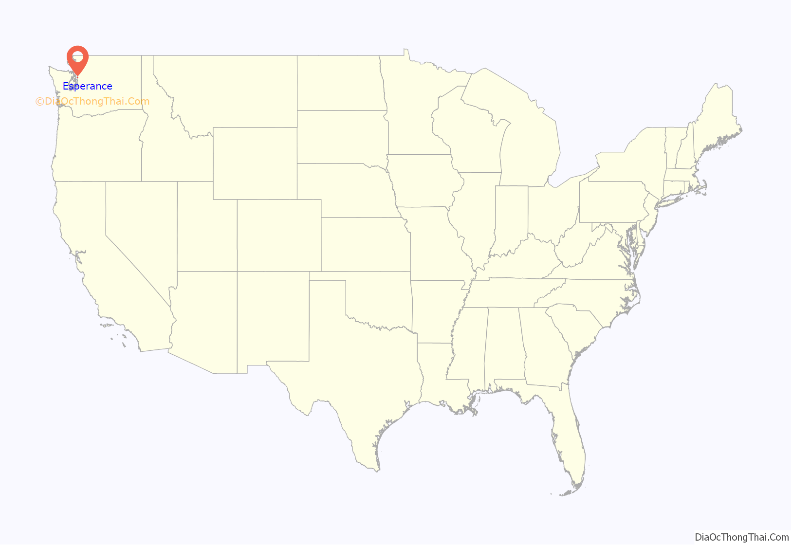
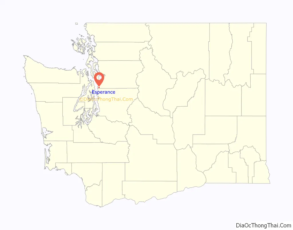
Esperance location map. Where is Esperance CDP?
History
Annexation
Five times in the last 50 years, the City of Edmonds has looked at annexing Esperance into the city. In each case, voters in the enclave have rejected the annexation.
Issues for annexation include a desire for a contiguous City of Edmonds, continuity of services and a belief that services will be easier to provide. Arguments against annexation include desire to remain part of unincorporated area of Snohomish county, an expectation that taxes may rise with annexation, and the desire to take part in activities that are possible in the county that would not be permitted under city regulations. The latter includes less regulation for building certain structures and the ability to keep animals.
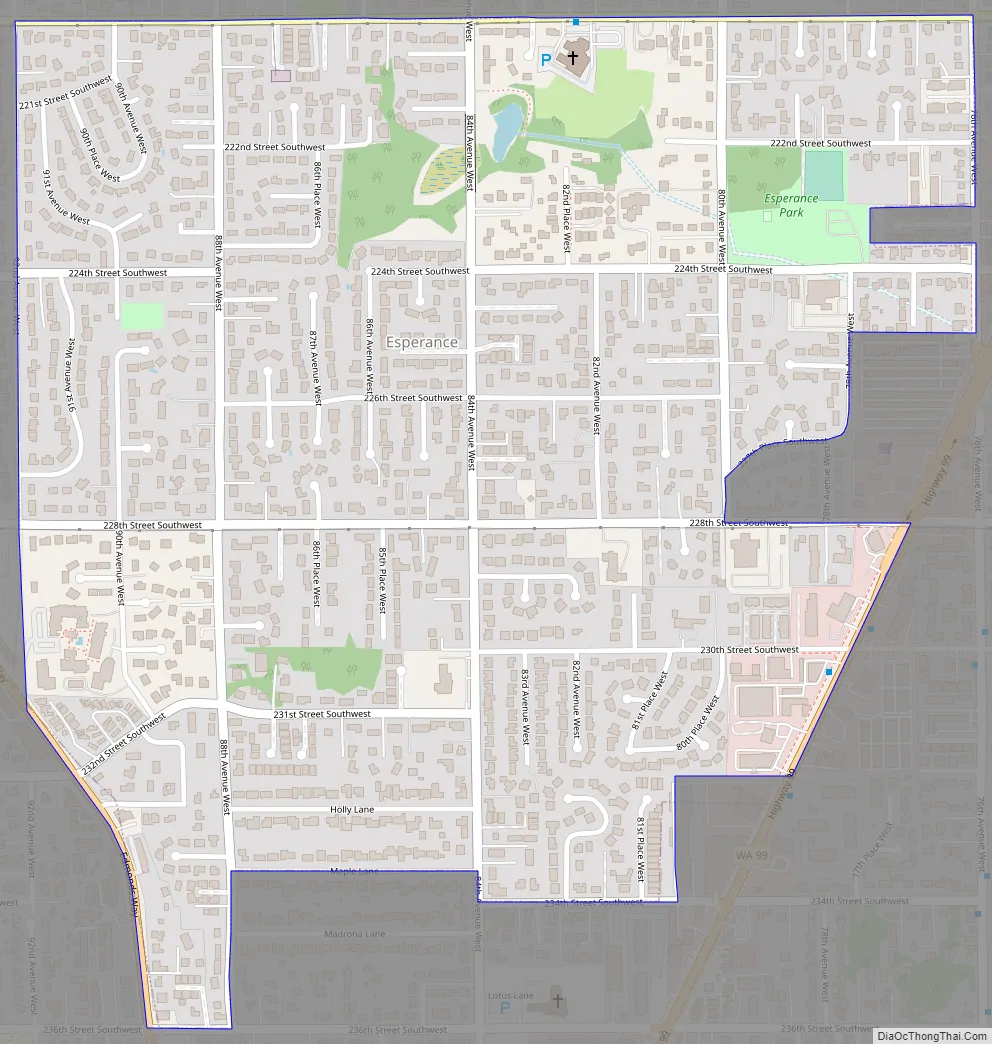
Esperance Road Map
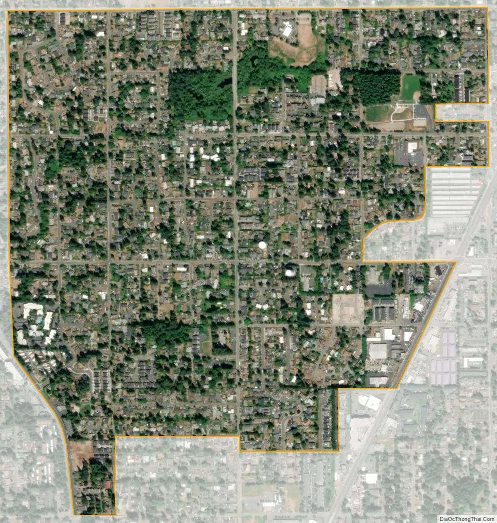
Esperance city Satellite Map
Geography
Esperance is located at 47°47′42″N 122°20′51″W / 47.79500°N 122.34750°W / 47.79500; -122.34750 (47.795006, -122.347487).
According to the United States Census Bureau, the CDP has a total area of 0.7 square miles (1.9 km), all of it land.
See also
Map of Washington State and its subdivision:- Adams
- Asotin
- Benton
- Chelan
- Clallam
- Clark
- Columbia
- Cowlitz
- Douglas
- Ferry
- Franklin
- Garfield
- Grant
- Grays Harbor
- Island
- Jefferson
- King
- Kitsap
- Kittitas
- Klickitat
- Lewis
- Lincoln
- Mason
- Okanogan
- Pacific
- Pend Oreille
- Pierce
- San Juan
- Skagit
- Skamania
- Snohomish
- Spokane
- Stevens
- Thurston
- Wahkiakum
- Walla Walla
- Whatcom
- Whitman
- Yakima
- Alabama
- Alaska
- Arizona
- Arkansas
- California
- Colorado
- Connecticut
- Delaware
- District of Columbia
- Florida
- Georgia
- Hawaii
- Idaho
- Illinois
- Indiana
- Iowa
- Kansas
- Kentucky
- Louisiana
- Maine
- Maryland
- Massachusetts
- Michigan
- Minnesota
- Mississippi
- Missouri
- Montana
- Nebraska
- Nevada
- New Hampshire
- New Jersey
- New Mexico
- New York
- North Carolina
- North Dakota
- Ohio
- Oklahoma
- Oregon
- Pennsylvania
- Rhode Island
- South Carolina
- South Dakota
- Tennessee
- Texas
- Utah
- Vermont
- Virginia
- Washington
- West Virginia
- Wisconsin
- Wyoming


