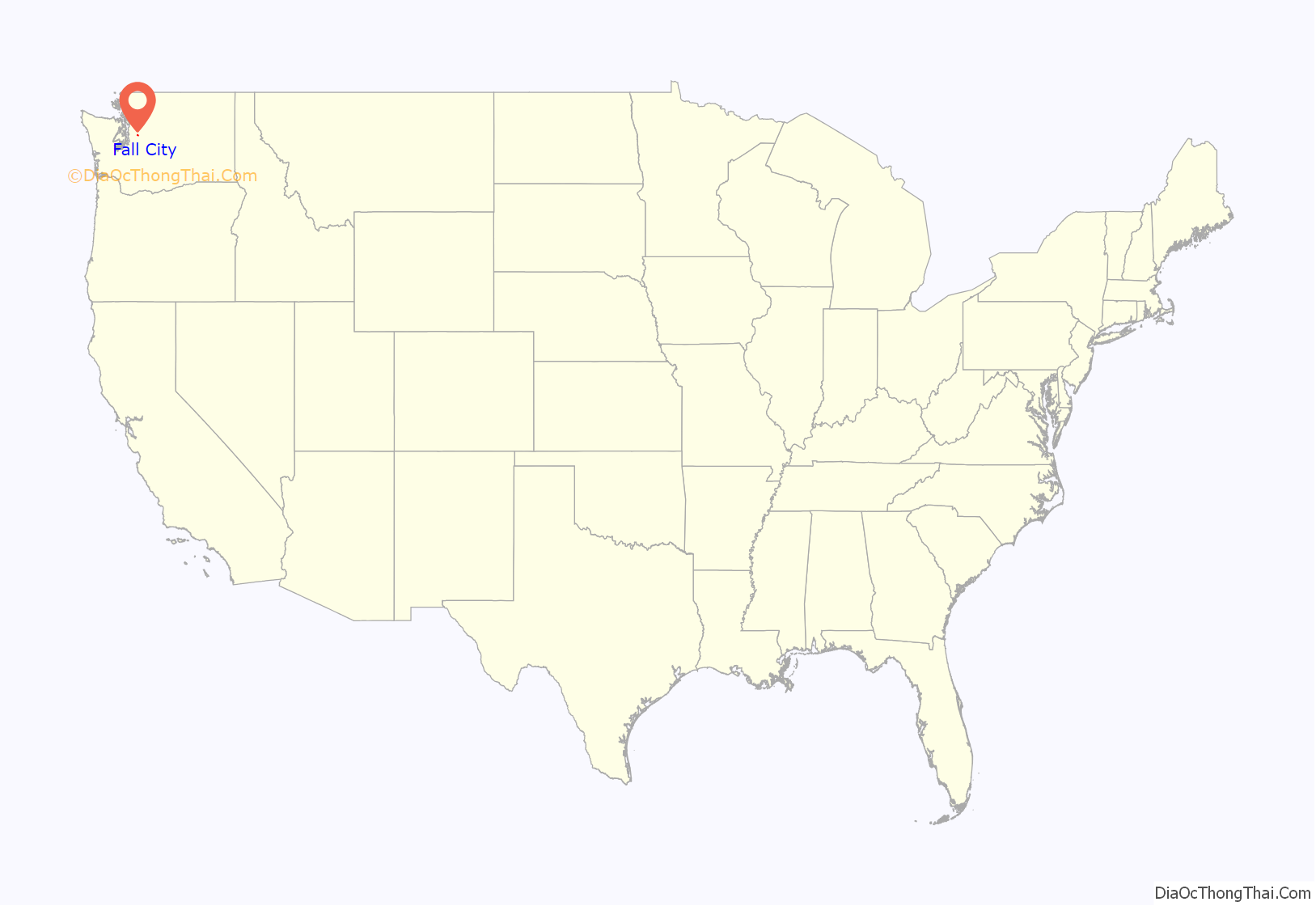
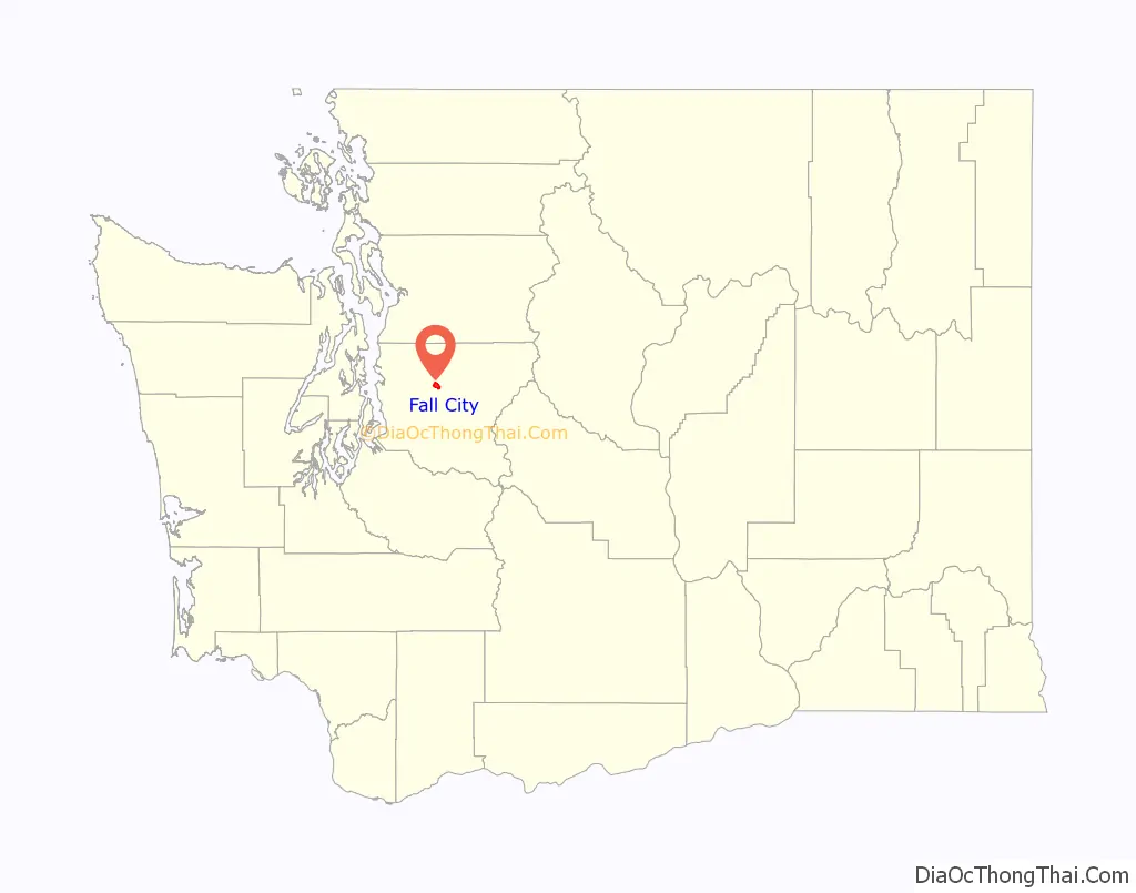
Fall City is an unincorporated community and census-designated place (CDP) in King County, Washington, United States, 25 miles (40 km) east of Seattle. The community lies along the Snoqualmie River and Raging River. The population was 2,032 as of the 2020 census.
| Name: | Fall City CDP |
|---|---|
| LSAD Code: | 57 |
| LSAD Description: | CDP (suffix) |
| State: | Washington |
| County: | King County |
| Elevation: | 105 ft (32 m) |
| Total Area: | 2.88 sq mi (7.45 km²) |
| Land Area: | 2.83 sq mi (7.34 km²) |
| Water Area: | 0.04 sq mi (0.11 km²) |
| Total Population: | 2,032 |
| Population Density: | 717/sq mi (276.8/km²) |
| ZIP code: | 98024 |
| Area code: | 425 |
| FIPS code: | 5323200 |
| GNISfeature ID: | 1531451 |
Online Interactive Map
Click on ![]() to view map in "full screen" mode.
to view map in "full screen" mode.
Fall City location map. Where is Fall City CDP?
History
The first settlements in the area were two forts built in 1856 during the Puget Sound War to protect future settlers against possible uprisings by the native population. Fort Patterson, a few miles downstream, and Fort Tilton, a few miles upstream, were built with the help of Indians led by Chief Patkanim, and both were abandoned within two years after interactions with the local tribes remained peaceful. A historical marker can be found north of Fall City on the Fish Hatchery Road where Fort Tilton once stood.
A trading post was established near the present-day location of the Last Frontier Saloon in 1869 and became a hub of the local economy. Fall City was known at the time as “The Landing”, as shallow water and rapids upstream on the Snoqualmie were impassable to the large dugout canoes used to transport goods. In the early 1870s, the first local mill in the Snoqualmie Valley was opened at the mouth of Tokul Creek, just downstream from Snoqualmie Falls and just upstream from where Fall City would be. The Fall City post office opened June 10, 1872.
Small steamboats started ferrying supplies up the river in 1875. In the late 1880s, a group of Puget Sound businessmen founded and started building the Seattle, Lake Shore and Eastern Railway, including a line up into the upper Snoqualmie Valley, in an attempt to build a line over the Cascade Range. The land claim holder at the time, Jeremiah “Jerry” Borst, had Fall City surveyed and platted in anticipation of the people the railroad would bring, but was disappointed in 1889 when the railroad line was built a mile (1.6 km) away from the community.
But even a mile away, the railroad, combined with the first bridge over the Snoqualmie River, greatly improved the local lumber mills’ and farmers’ business, and made the area and its scenic features (such as Snoqualmie Falls) accessible to tourists. Hundreds moved to the area over the next two decades.
When the Sunset Highway connecting Seattle with eastern Washington through Fall City was improved in the early 1910s, it further accelerated the area’s economic and residential development. By the late 1920s, most of the population either worked in the burgeoning tourist trade or commuted to work west toward Issaquah and Seattle.
The Great Depression, followed by gasoline rationing during World War II, hurt Fall City’s tourist trade. Tourism was further hampered after the war as U.S. Highway 10 (now Interstate 90) was rerouted south directly from Preston to North Bend, bypassing Fall City and Snoqualmie. The local economy suffered further as local logging mills started closing.
Today, Fall City is a bedroom community to the high-tech industry of the Seattle metropolitan area, with large suburban estates just outside the community juxtaposed with the historical homes and farmsteads built in its heyday.
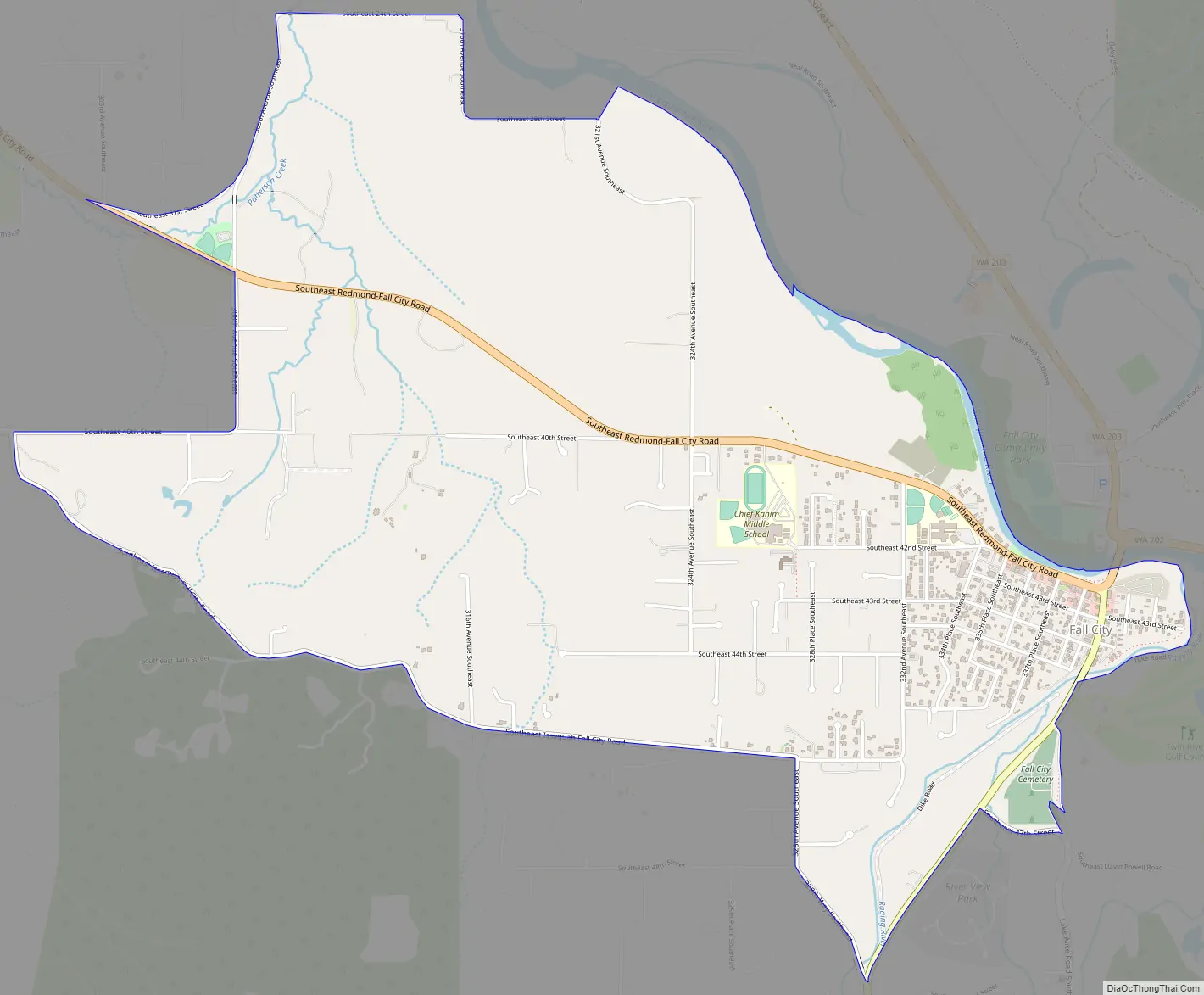
Fall City Road Map
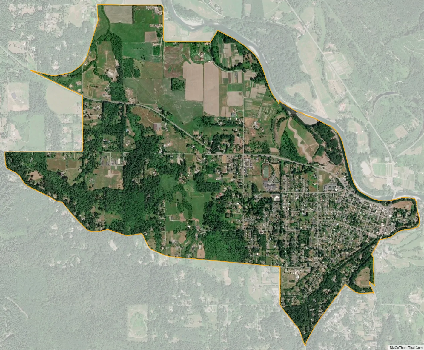
Fall City city Satellite Map
Geography
Fall City is in central King County at the confluence of the Snoqualmie River and the Raging River. The rivers are sometimes flooded during the autumn and winter. More typical is a strong east wind as pressure gradients carry higher pressure air across Snoqualmie Pass and down the Snoqualmie Valley.
According to the United States Census Bureau, the Fall City CDP has an area of 2.9 square miles (7.4 km), of which 0.04 square miles (0.11 km), or 1.52%, are water.
Climate
The area’s climate has mild differences between highs and lows, and there is adequate rainfall year-round. According to the Köppen Climate Classification system, Fall City has a marine west coast climate, abbreviated “Cfb” on climate maps.
See also
Map of Washington State and its subdivision:- Adams
- Asotin
- Benton
- Chelan
- Clallam
- Clark
- Columbia
- Cowlitz
- Douglas
- Ferry
- Franklin
- Garfield
- Grant
- Grays Harbor
- Island
- Jefferson
- King
- Kitsap
- Kittitas
- Klickitat
- Lewis
- Lincoln
- Mason
- Okanogan
- Pacific
- Pend Oreille
- Pierce
- San Juan
- Skagit
- Skamania
- Snohomish
- Spokane
- Stevens
- Thurston
- Wahkiakum
- Walla Walla
- Whatcom
- Whitman
- Yakima
- Alabama
- Alaska
- Arizona
- Arkansas
- California
- Colorado
- Connecticut
- Delaware
- District of Columbia
- Florida
- Georgia
- Hawaii
- Idaho
- Illinois
- Indiana
- Iowa
- Kansas
- Kentucky
- Louisiana
- Maine
- Maryland
- Massachusetts
- Michigan
- Minnesota
- Mississippi
- Missouri
- Montana
- Nebraska
- Nevada
- New Hampshire
- New Jersey
- New Mexico
- New York
- North Carolina
- North Dakota
- Ohio
- Oklahoma
- Oregon
- Pennsylvania
- Rhode Island
- South Carolina
- South Dakota
- Tennessee
- Texas
- Utah
- Vermont
- Virginia
- Washington
- West Virginia
- Wisconsin
- Wyoming


