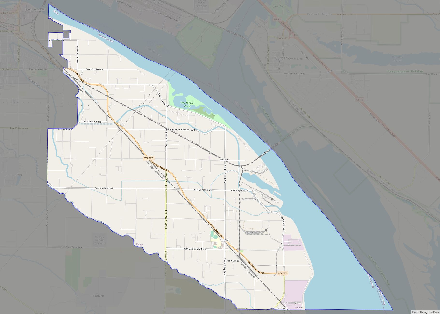
Finley is a census-designated place (CDP) in Benton County, Washington, United States. The population was 6,152 at the 2020 census. It is located to the southeast of the larger city of Kennewick.
| Name: | Finley CDP |
|---|---|
| LSAD Code: | 57 |
| LSAD Description: | CDP (suffix) |
| State: | Washington |
| County: | Benton County |
| Elevation: | 354 ft (108 m) |
| Total Area: | 14.6 sq mi (37.7 km²) |
| Land Area: | 11.5 sq mi (29.8 km²) |
| Water Area: | 3.0 sq mi (7.9 km²) |
| Total Population: | 6,152 |
| Population Density: | 501.2/sq mi (193.5/km²) |
| ZIP code: | 99337 |
| Area code: | 509 |
| FIPS code: | 5323865 |
| GNISfeature ID: | 1504879 |
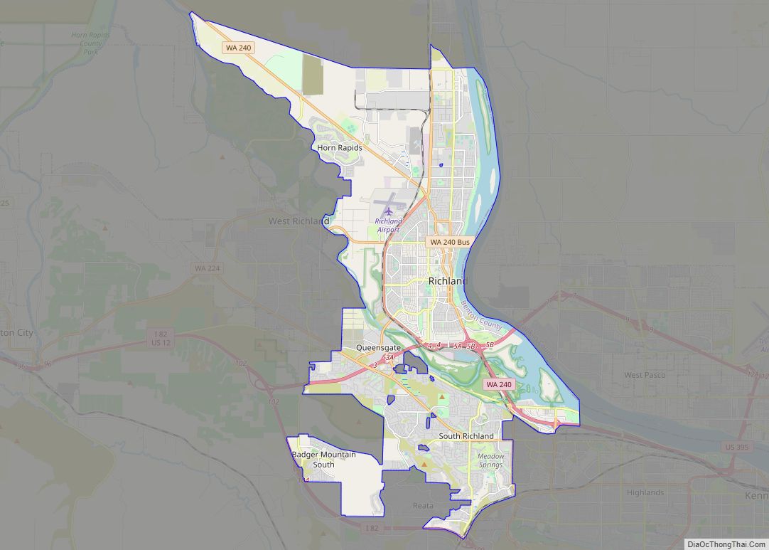
Online Interactive Map
Click on ![]() to view map in "full screen" mode.
to view map in "full screen" mode.
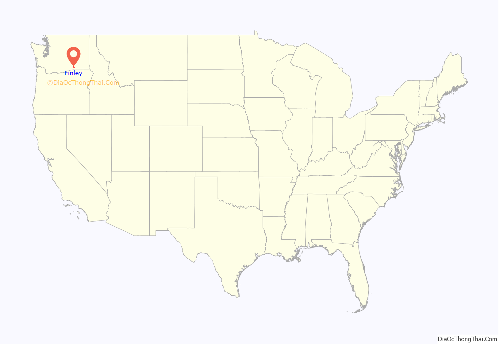
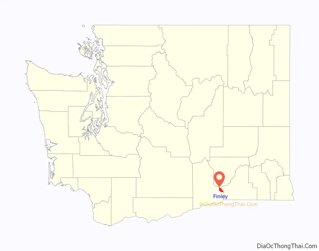
Finley location map. Where is Finley CDP?
History
A post office called Finley was established in 1906, and remained in operation until 1935. The community was named after George E. Finley, a pioneer settler. It includes the community of Hedges.
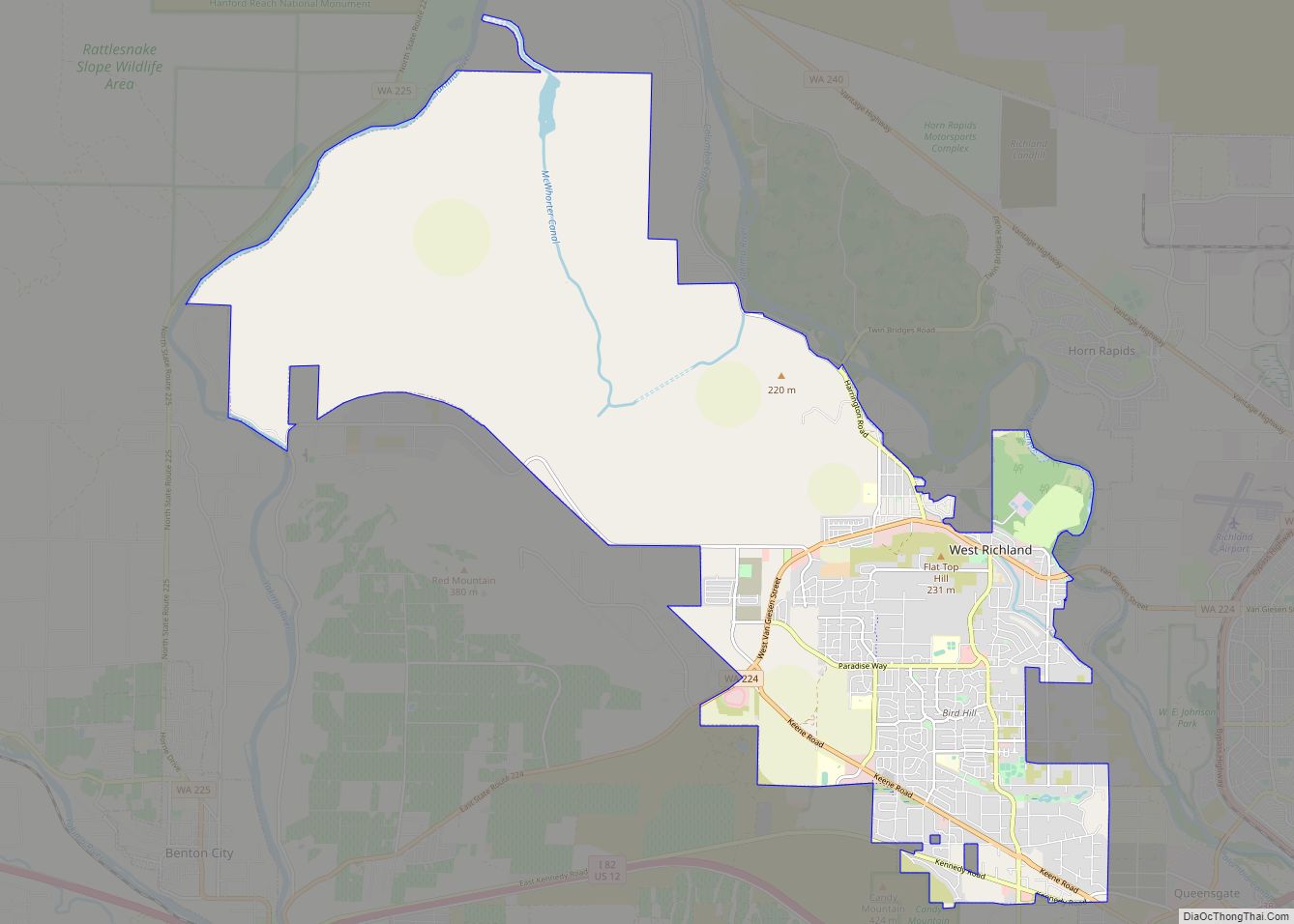
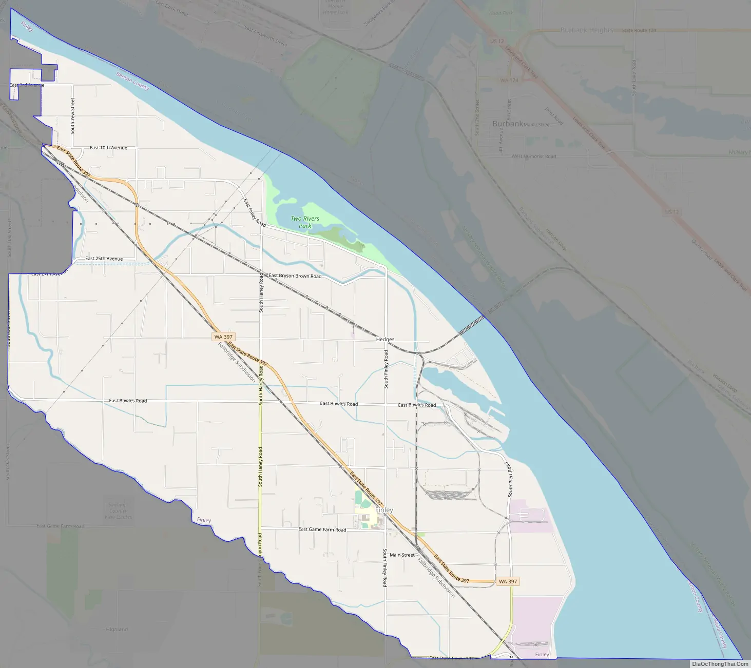
Finley Road Map
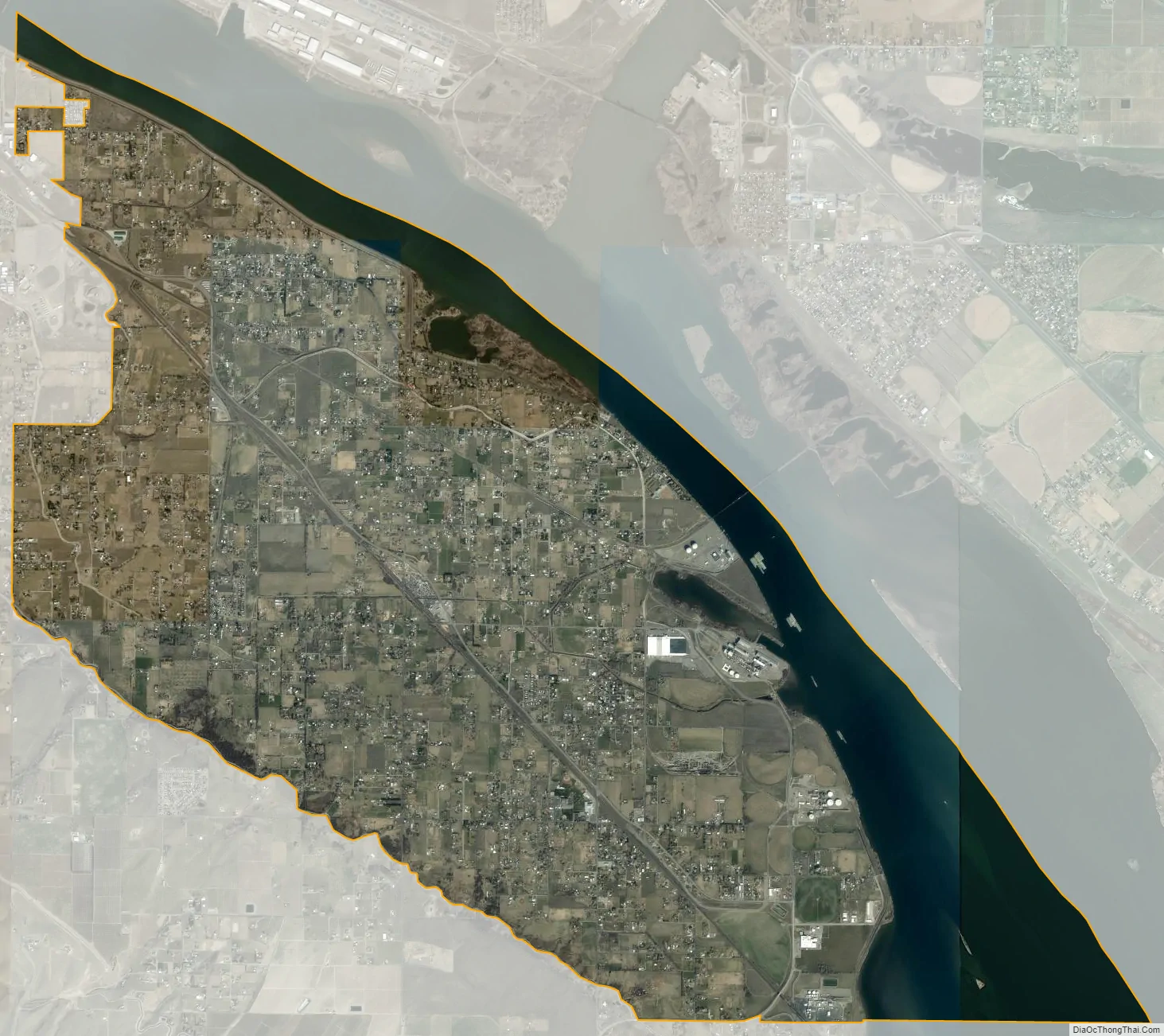
Finley city Satellite Map
Geography
Finley is located at 46°10′32″N 119°3′26″W / 46.17556°N 119.05722°W / 46.17556; -119.05722 (46.175660, -119.057361).
According to the United States Census Bureau, the CDP has a total area of 14.6 square miles (37.7 km), of which, 11.5 square miles (29.8 km) of it is land and 3.0 square miles (7.9 km) of it (20.88%) is water.
See also
Map of Washington State and its subdivision:- Adams
- Asotin
- Benton
- Chelan
- Clallam
- Clark
- Columbia
- Cowlitz
- Douglas
- Ferry
- Franklin
- Garfield
- Grant
- Grays Harbor
- Island
- Jefferson
- King
- Kitsap
- Kittitas
- Klickitat
- Lewis
- Lincoln
- Mason
- Okanogan
- Pacific
- Pend Oreille
- Pierce
- San Juan
- Skagit
- Skamania
- Snohomish
- Spokane
- Stevens
- Thurston
- Wahkiakum
- Walla Walla
- Whatcom
- Whitman
- Yakima
- Alabama
- Alaska
- Arizona
- Arkansas
- California
- Colorado
- Connecticut
- Delaware
- District of Columbia
- Florida
- Georgia
- Hawaii
- Idaho
- Illinois
- Indiana
- Iowa
- Kansas
- Kentucky
- Louisiana
- Maine
- Maryland
- Massachusetts
- Michigan
- Minnesota
- Mississippi
- Missouri
- Montana
- Nebraska
- Nevada
- New Hampshire
- New Jersey
- New Mexico
- New York
- North Carolina
- North Dakota
- Ohio
- Oklahoma
- Oregon
- Pennsylvania
- Rhode Island
- South Carolina
- South Dakota
- Tennessee
- Texas
- Utah
- Vermont
- Virginia
- Washington
- West Virginia
- Wisconsin
- Wyoming