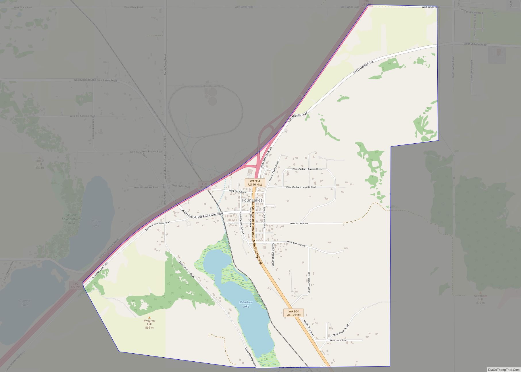
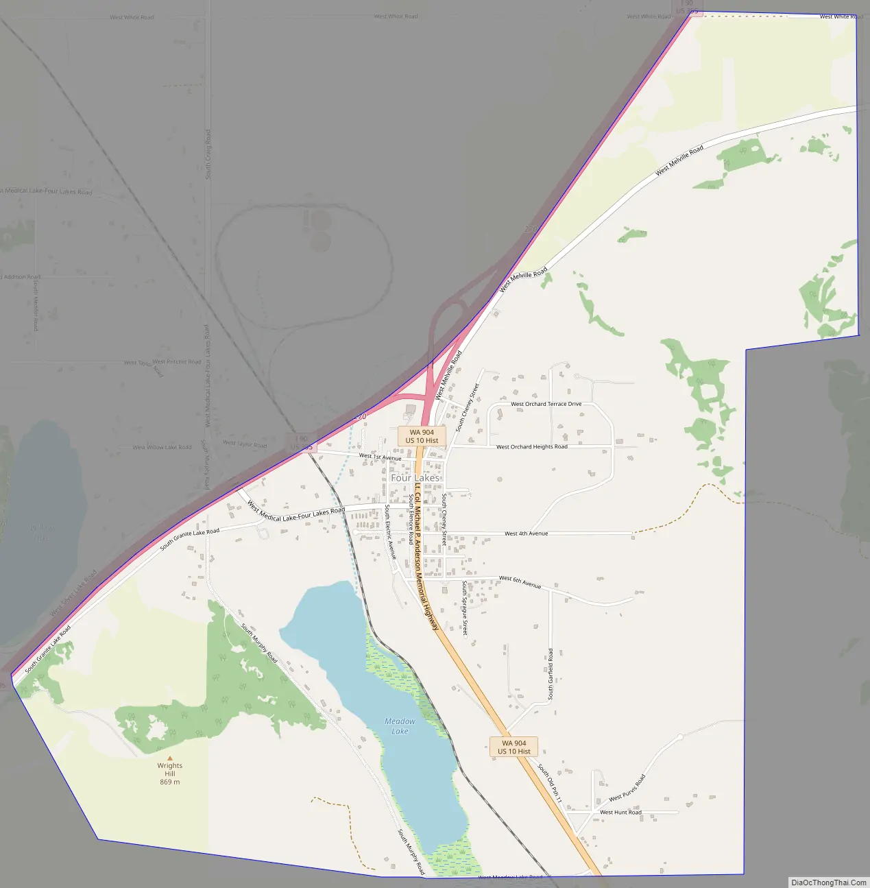
Four Lakes is an unincorporated community and census-designated place in Spokane County, Washington, United States, just southwest of the city of Spokane, and north of Cheney. As of the 2010 census, its population was 512. Both Interstate 90 and SR 904 run through Four Lakes and the junction of the two is located near the center of town. Four Lakes was founded in 1879 by G.H. Morgan. The community was so named on account of there being four lakes near the original town site. It is speculated the fourth lake, is now a marsh south of Meadow Lake, which was drained by the ditch, blasted through basalt, which Minnie Creek flows through, under SR 904, south of the rodeo grounds.
| Name: | Four Lakes CDP |
|---|---|
| LSAD Code: | 57 |
| LSAD Description: | CDP (suffix) |
| State: | Washington |
| County: | Spokane County |
| Elevation: | 2,431 ft (741 m) |
| Total Area: | 3.428 sq mi (8.88 km²) |
| Land Area: | 3.375 sq mi (8.74 km²) |
| Water Area: | 0.053 sq mi (0.14 km²) |
| Total Population: | 512 |
| Population Density: | 150/sq mi (58/km²) |
| Area code: | 509 |
| FIPS code: | 5325300 |
| GNISfeature ID: | 1512225 |
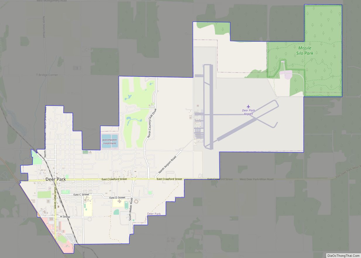
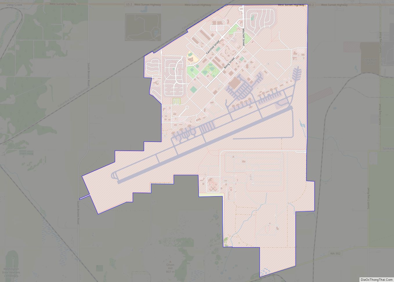
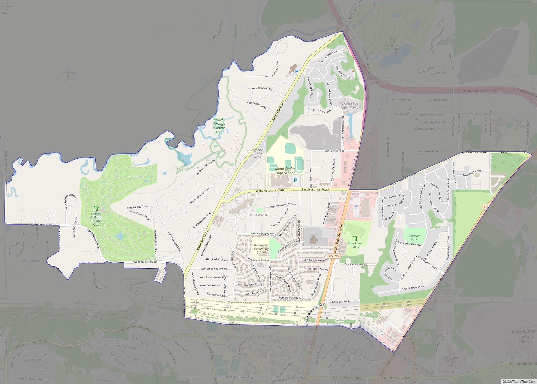
Online Interactive Map
Click on ![]() to view map in "full screen" mode.
to view map in "full screen" mode.
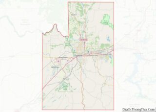
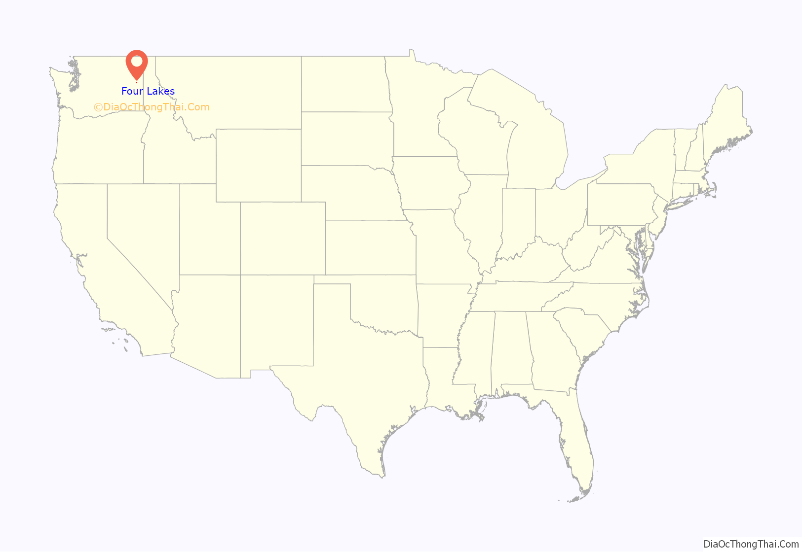
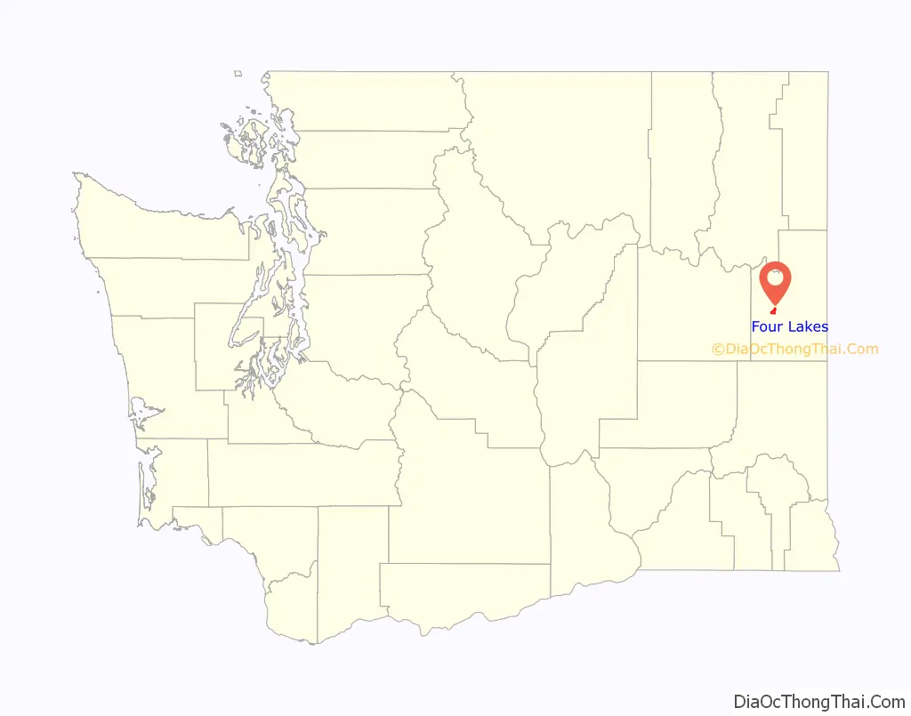
Four Lakes location map. Where is Four Lakes CDP?
Four Lakes Road Map
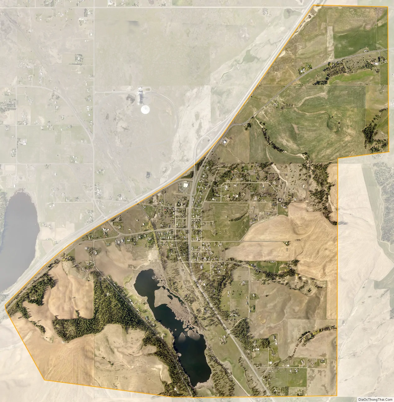
Four Lakes city Satellite Map
See also
Map of Washington State and its subdivision:- Adams
- Asotin
- Benton
- Chelan
- Clallam
- Clark
- Columbia
- Cowlitz
- Douglas
- Ferry
- Franklin
- Garfield
- Grant
- Grays Harbor
- Island
- Jefferson
- King
- Kitsap
- Kittitas
- Klickitat
- Lewis
- Lincoln
- Mason
- Okanogan
- Pacific
- Pend Oreille
- Pierce
- San Juan
- Skagit
- Skamania
- Snohomish
- Spokane
- Stevens
- Thurston
- Wahkiakum
- Walla Walla
- Whatcom
- Whitman
- Yakima
- Alabama
- Alaska
- Arizona
- Arkansas
- California
- Colorado
- Connecticut
- Delaware
- District of Columbia
- Florida
- Georgia
- Hawaii
- Idaho
- Illinois
- Indiana
- Iowa
- Kansas
- Kentucky
- Louisiana
- Maine
- Maryland
- Massachusetts
- Michigan
- Minnesota
- Mississippi
- Missouri
- Montana
- Nebraska
- Nevada
- New Hampshire
- New Jersey
- New Mexico
- New York
- North Carolina
- North Dakota
- Ohio
- Oklahoma
- Oregon
- Pennsylvania
- Rhode Island
- South Carolina
- South Dakota
- Tennessee
- Texas
- Utah
- Vermont
- Virginia
- Washington
- West Virginia
- Wisconsin
- Wyoming