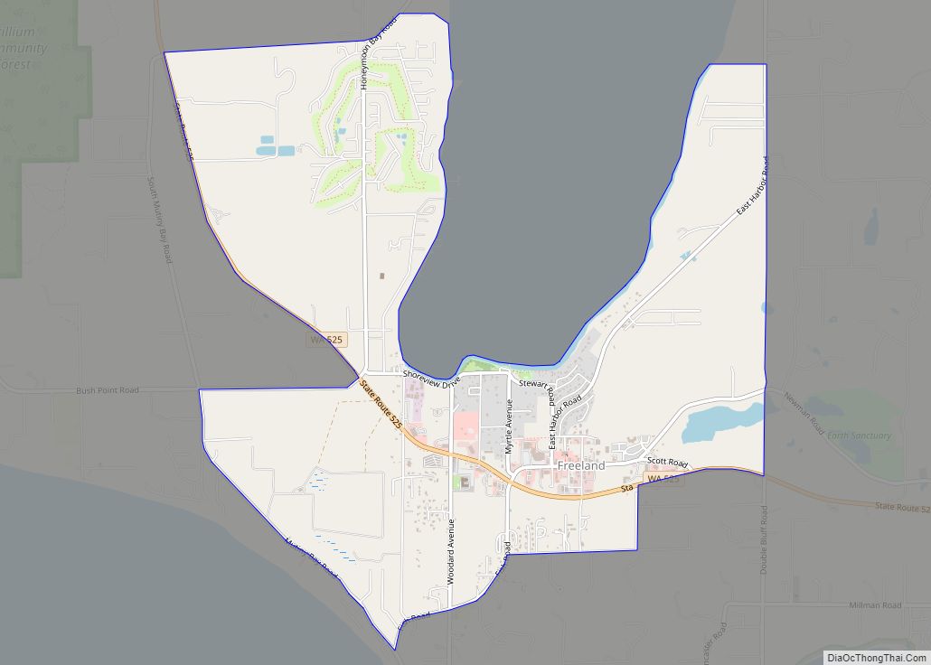
Freeland is an unincorporated community and census-designated place (CDP) on Whidbey Island in Island County, Washington, United States. At the time of the 2010 census the population was 7,812. The town received its name based on its origins as a socialist commune in the early 1900s: in the eyes of its founders, the land of the town was literally to be free for all people. Some of the first settlers were veterans of a prior experiment in socialism, the nearby Equality Colony.
| Name: | Freeland CDP |
|---|---|
| LSAD Code: | 57 |
| LSAD Description: | CDP (suffix) |
| State: | Washington |
| County: | Island County |
| Elevation: | 115 ft (35 m) |
| Total Area: | 3.9 sq mi (10.1 km²) |
| Land Area: | 3.9 sq mi (10.1 km²) |
| Water Area: | 0.0 sq mi (0.0 km²) |
| Total Population: | 2,045 |
| Population Density: | 527/sq mi (203.4/km²) |
| ZIP code: | 98249 |
| Area code: | 360 |
| FIPS code: | 5325510 |
| GNISfeature ID: | 1505034 |
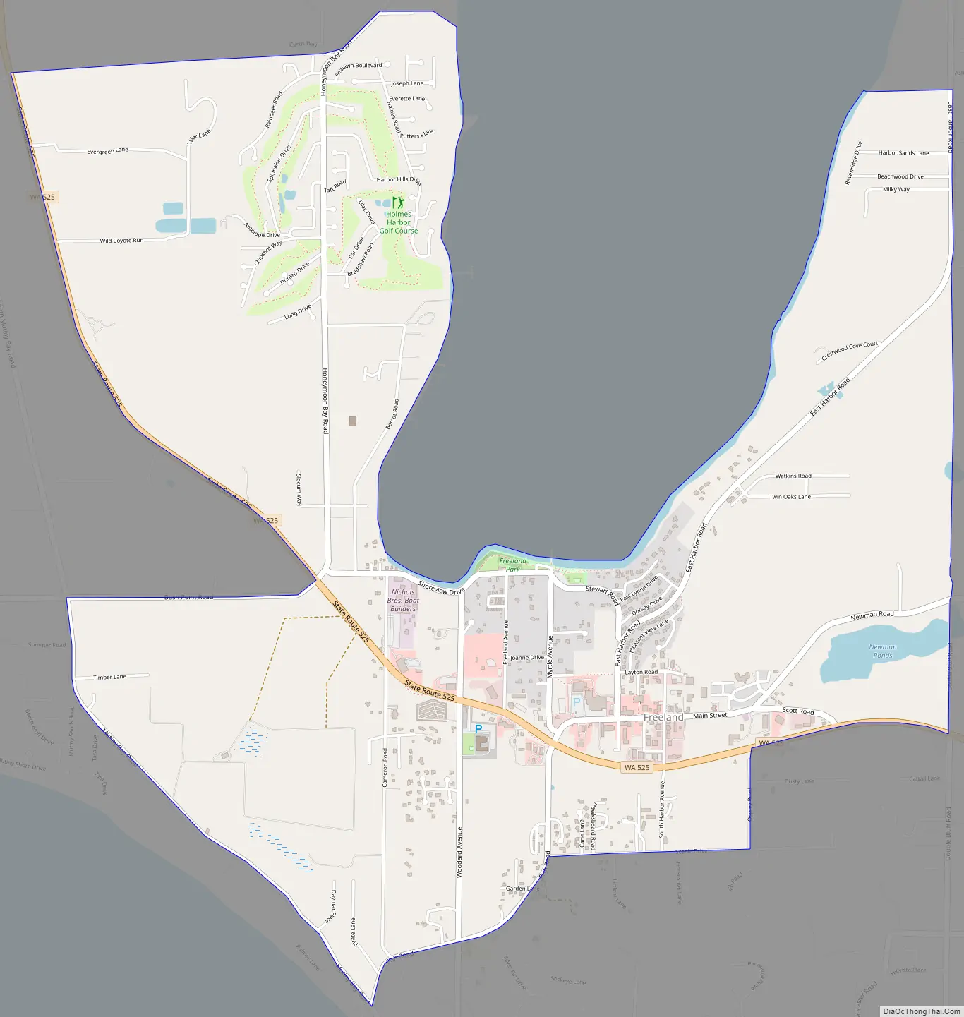
Online Interactive Map
Click on ![]() to view map in "full screen" mode.
to view map in "full screen" mode.
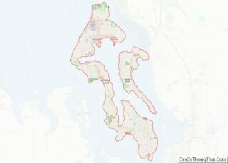
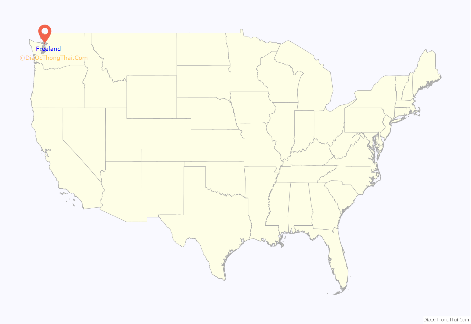
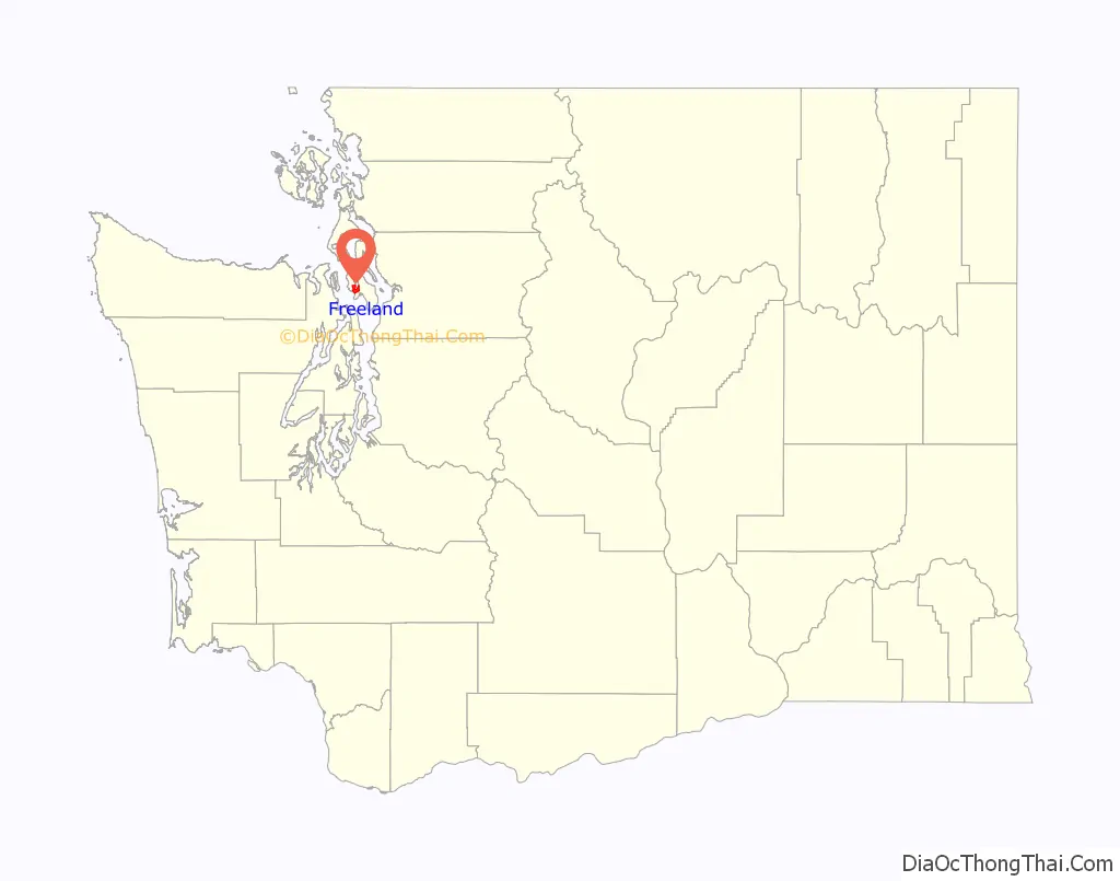
Freeland location map. Where is Freeland CDP?
History
Some Equality Colony dissidents, led by George Washington Daniels, incorporated the Free Land Association in 1900 and established the colony on land they purchased through James P. Gleason of the Fidelity Trust company. Members purchased dividend-paying shares in the association store fund and the machinery fund. The association store operated according to Rochdale Principles, and shares in the store were sold to non-residents as well as association members. Because members could pay for their land with dividends from their shares, the founders considered the land to be “free”. By 1902, however, the colony announced that new settlers would have to purchase land outright, as the idealistic land-financing plan based on share dividends had not worked.
Daniels platted five-acre tracts with wide streets to form the original townsite. Additional plats were added over the next several years.
Freeland considered itself a cooperative profit-sharing association and rejected the rigid communal structure of other colonies on the island. They described themselves to the Whidby Islander as “simply a settlement of socialists co-operating on semi-capitalistic principles.”
During its early years, Freeland had no local school, sending its children three miles across the island to Useless Bay. The lack of roads contributed to the isolation of the colony, although Daniels’ son-in-law, John H. Prather, purchased several boats to provide freight and passenger service between Freeland and Everett, the nearest town on the mainland.
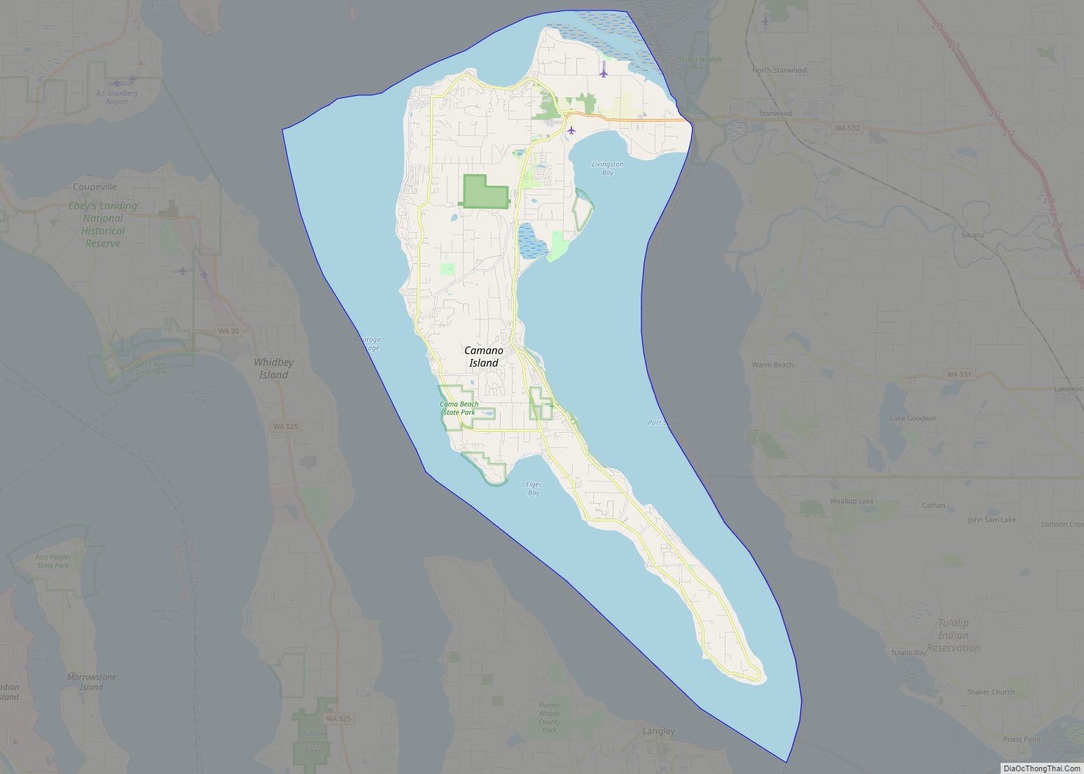
Freeland Road Map
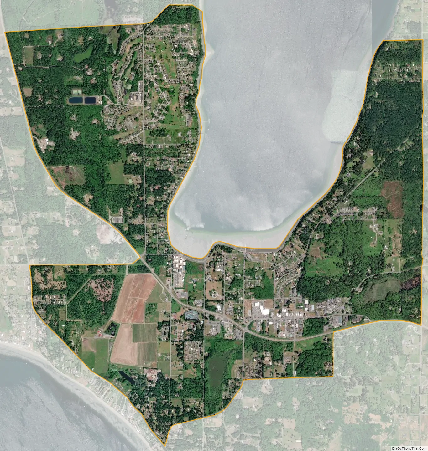
Freeland city Satellite Map
Geography
Freeland is located on the southern part of Whidbey Island at 48°0′56″N 122°32′1″W / 48.01556°N 122.53361°W / 48.01556; -122.53361 (48.015556, -122.533622). The community sits on a mile-wide isthmus between the south end of Holmes Harbor, a 6-mile-long (9.7 km) inlet of Saratoga Passage, and Mutiny Bay on Admiralty Inlet. It is located on the 48th parallel north.
Washington State Route 525 passes through Freeland, leading east 9 miles (14 km) to Clinton and northwest 12 miles (19 km) to SR 20 at Keystone. Oak Harbor is 28 miles (45 km) north of Freeland via SR 525 and SR 20.
According to the United States Census Bureau, the Freeland CDP has a total area of 3.9 square miles (10.1 km), all of it land.
See also
Map of Washington State and its subdivision:- Adams
- Asotin
- Benton
- Chelan
- Clallam
- Clark
- Columbia
- Cowlitz
- Douglas
- Ferry
- Franklin
- Garfield
- Grant
- Grays Harbor
- Island
- Jefferson
- King
- Kitsap
- Kittitas
- Klickitat
- Lewis
- Lincoln
- Mason
- Okanogan
- Pacific
- Pend Oreille
- Pierce
- San Juan
- Skagit
- Skamania
- Snohomish
- Spokane
- Stevens
- Thurston
- Wahkiakum
- Walla Walla
- Whatcom
- Whitman
- Yakima
- Alabama
- Alaska
- Arizona
- Arkansas
- California
- Colorado
- Connecticut
- Delaware
- District of Columbia
- Florida
- Georgia
- Hawaii
- Idaho
- Illinois
- Indiana
- Iowa
- Kansas
- Kentucky
- Louisiana
- Maine
- Maryland
- Massachusetts
- Michigan
- Minnesota
- Mississippi
- Missouri
- Montana
- Nebraska
- Nevada
- New Hampshire
- New Jersey
- New Mexico
- New York
- North Carolina
- North Dakota
- Ohio
- Oklahoma
- Oregon
- Pennsylvania
- Rhode Island
- South Carolina
- South Dakota
- Tennessee
- Texas
- Utah
- Vermont
- Virginia
- Washington
- West Virginia
- Wisconsin
- Wyoming