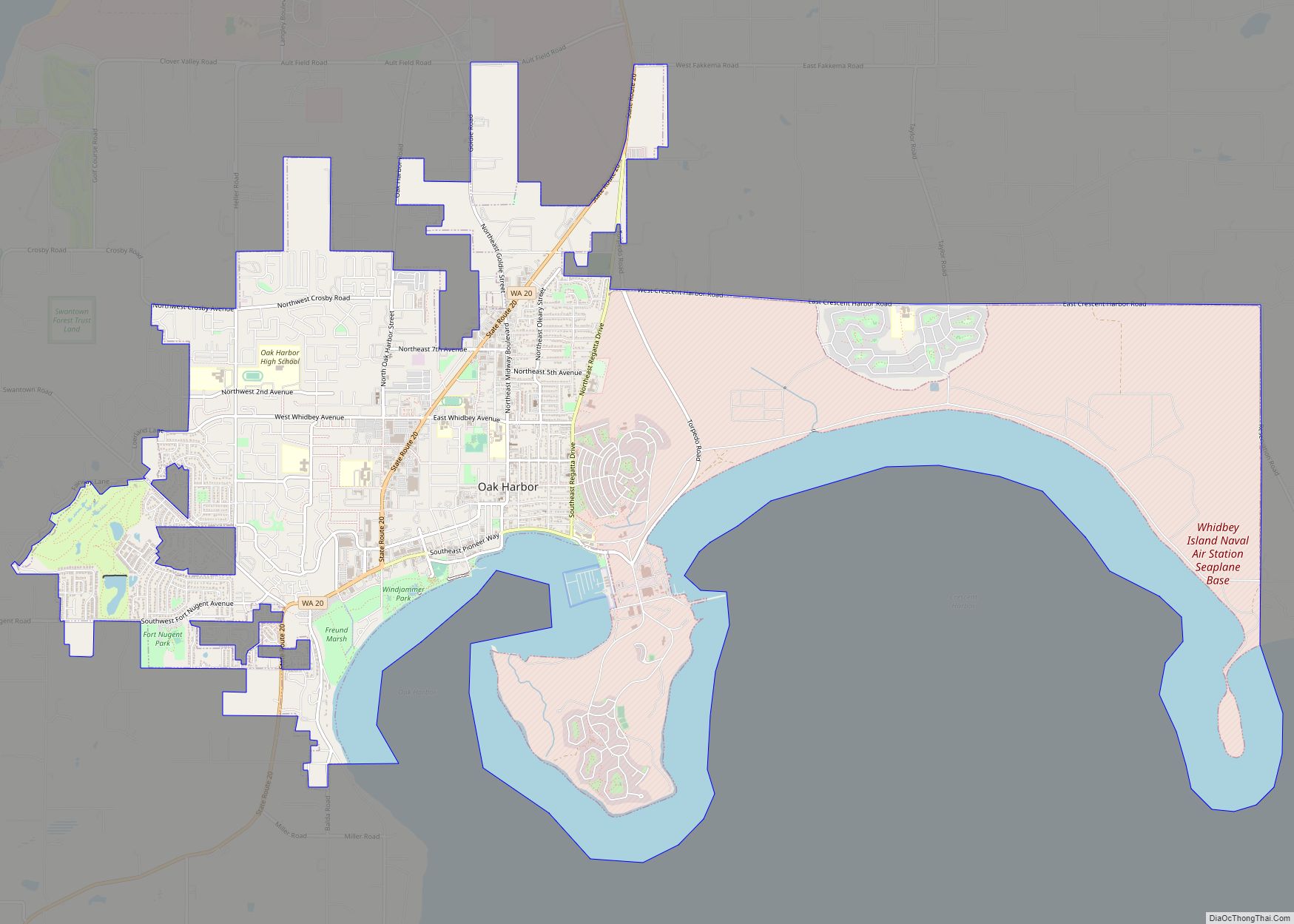
Oak Harbor is a city located on Whidbey Island in Island County, Washington, United States. The population was 22,075 at the 2010 census. Oak Harbor was incorporated on May 14, 1915.
| Name: | Oak Harbor city |
|---|---|
| LSAD Code: | 25 |
| LSAD Description: | city (suffix) |
| State: | Washington |
| County: | Island County |
| Elevation: | 92 ft (28 m) |
| Land Area: | 9.65 sq mi (25.00 km²) |
| Water Area: | 2.66 sq mi (6.90 km²) |
| Population Density: | 2,551.5/sq mi (984.88/km²) |
| ZIP code: | 98277–98278 |
| Area code: | 360 |
| FIPS code: | 5350360 |
| GNISfeature ID: | 1512518 |
| Website: | www.oakharbor.org |
Online Interactive Map
Click on ![]() to view map in "full screen" mode.
to view map in "full screen" mode.
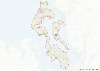
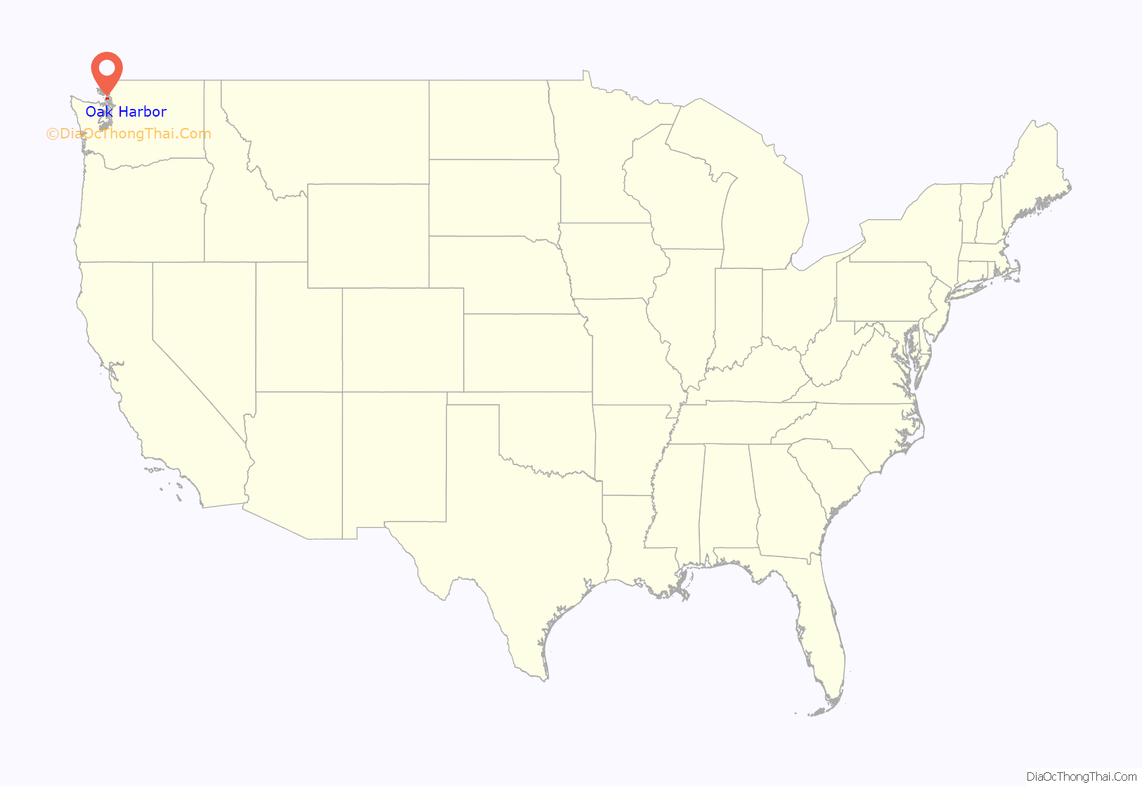
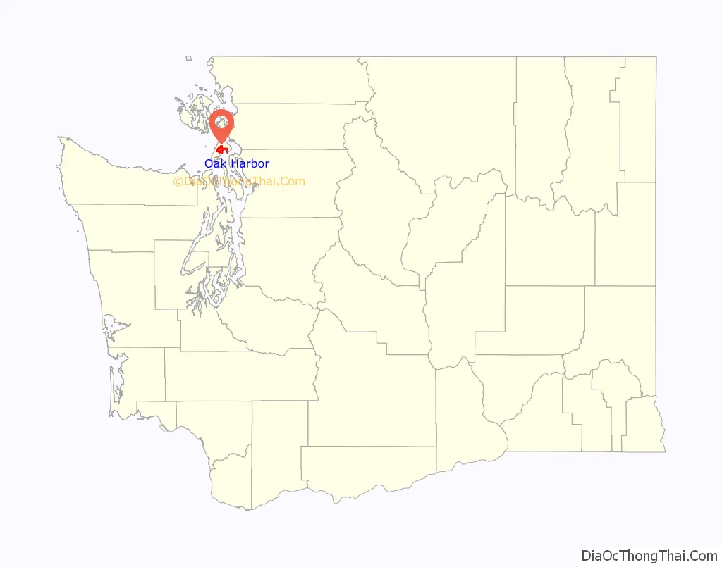
Oak Harbor location map. Where is Oak Harbor city?
History
The Lower Skagit people have inhabited Oak Harbor (Lushootseed: təqucid) and the nearby Crescent Harbor (Lushootseed: č̓itusəb) since time immemorial. There were several villages in the vicinity, and the modern settlement of Oak Harbor was built over one such village.
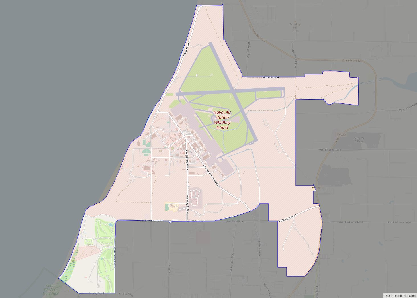
In the early 1850s, two settlers staked claims where the city now stands—Zakarias Martin Toftezen, a shoemaker from Norway; C.W. Sumner from New England. Irish and Dutch immigrants also arrived and settled in the area. Oak Harbor was named for the area’s Garry Oak trees and was incorporated in 1915 with a population of 401. Houses and businesses sprouted up along the shores of Oak Harbor as the pioneers relied entirely on water transportation until the 1900s. For the next 30 years, steamers and freighters carried passengers and freight from the Island to the mainland and back as well as Fidalgo Island to the north. The city grew following the completion of Deception Pass Bridge on July 31, 1935, and Naval Air Station Whidbey Island on September 21, 1942. The bridge, which linked Whidbey Island to Fidalgo Island and the mainland, was a Public Works Administration project built by the Civilian Conservation Corps. A nearby state park with 4,100 acres (17 km) of forest, campsites, and trails was also developed.
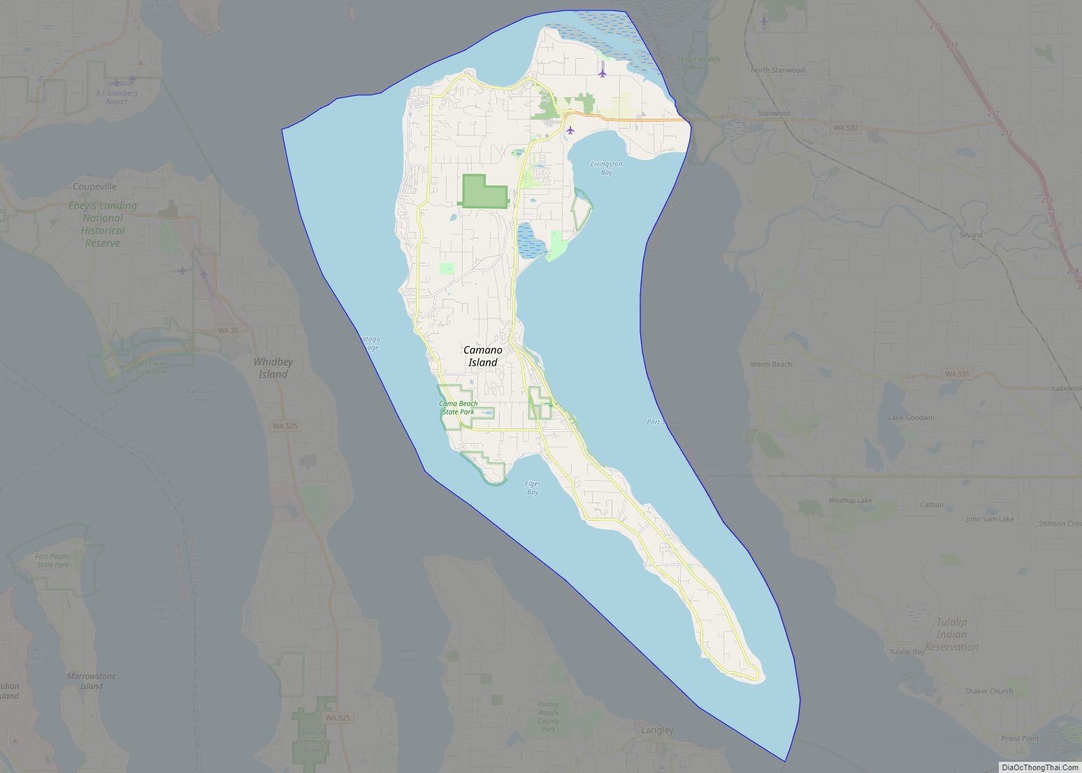
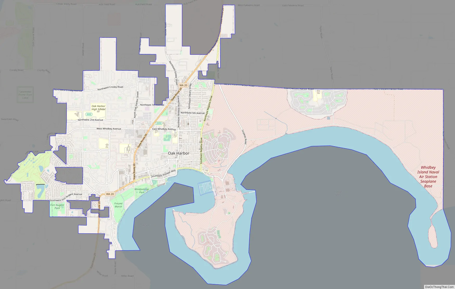
Oak Harbor Road Map
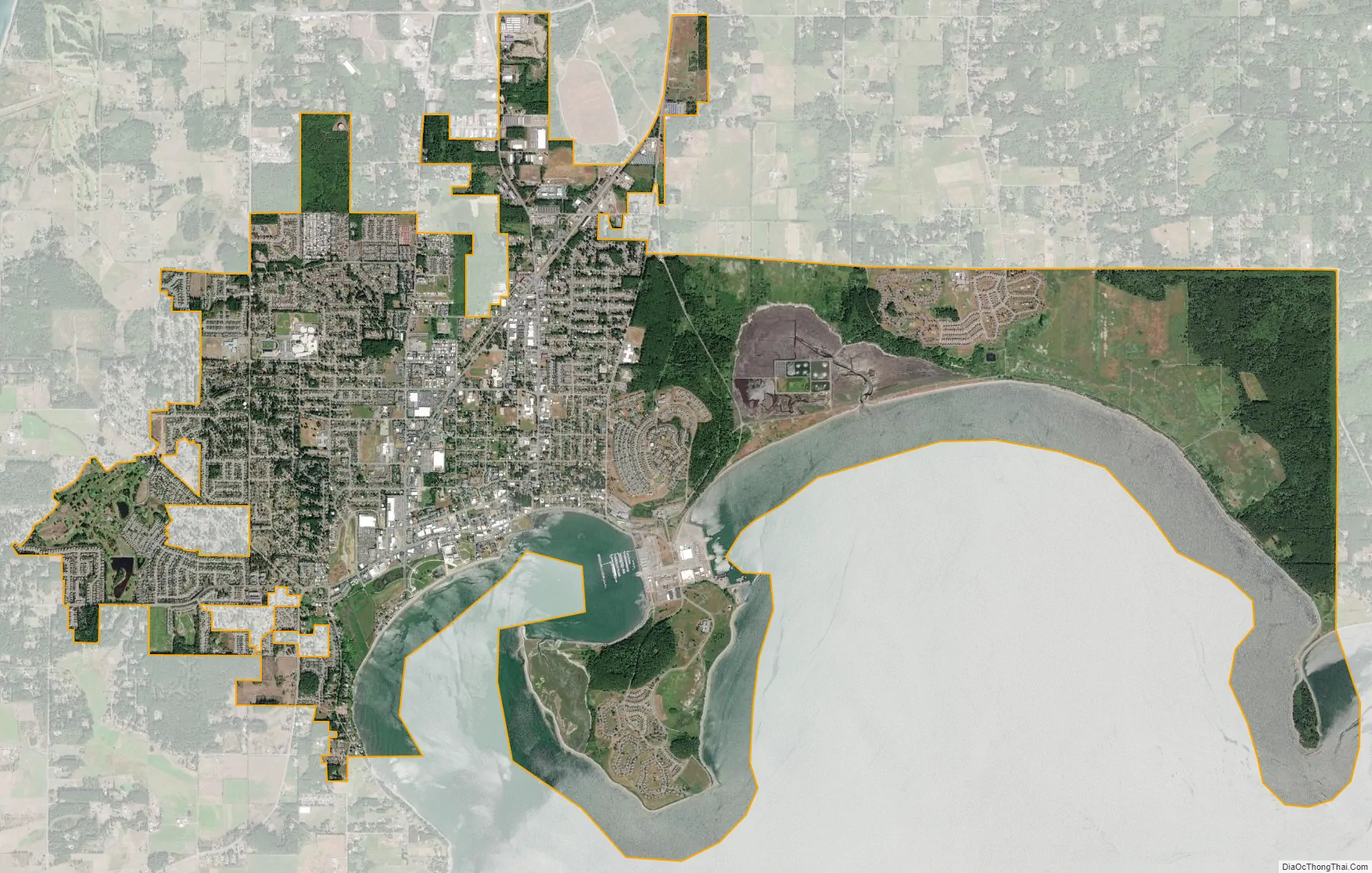
Oak Harbor city Satellite Map
Geography
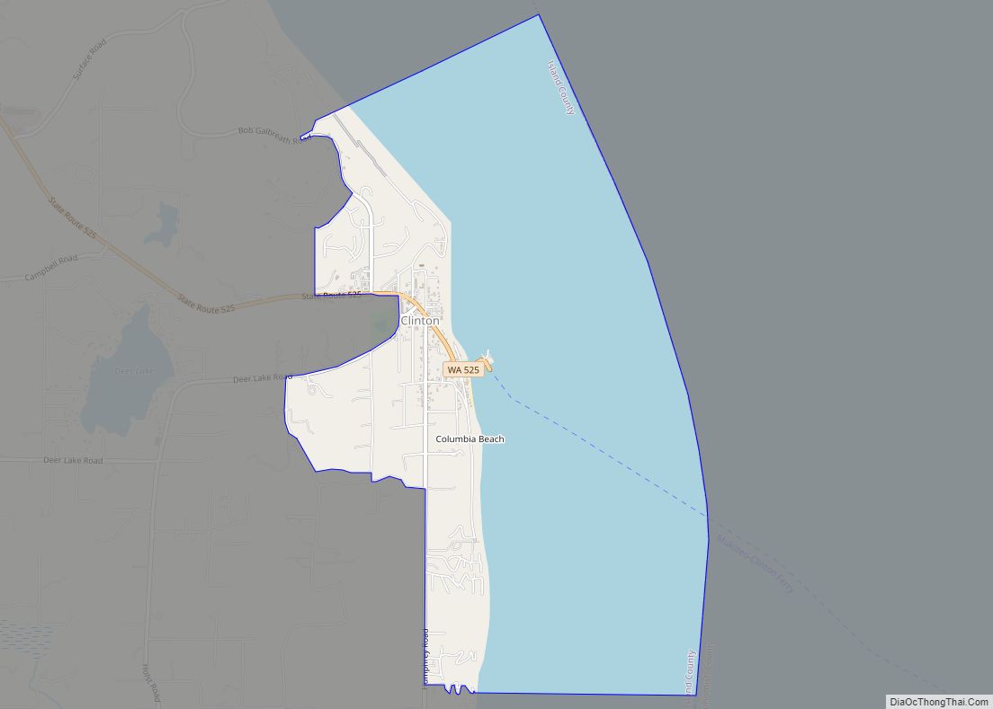
According to the United States Census Bureau, the city has a total area of 9.47 square miles (24.53 km), of which, 9.42 square miles (24.40 km) is land and 0.05 square miles (0.13 km) is water. Access to the island by land is only available by driving through Deception Pass. Other ways to travel to Whidbey Island include flying or utilizing a ferry service. The Mukilteo–Clinton ferry provides service connecting the southern end of Whidbey Island and just north of Seattle, WA.
Surveys of shorelines throughout the Puget Sound region have indicated that 58% are “unstable”. Average retreat rates range from one to eight centimeters per year and shores in the Puget Sound area, composed of unconsolidated sediment, erode 10 to 100 times faster than rocky shoreline.
Climate
Oak Harbor has a pleasant Mediterranean climate (Köppen Csb) characterized by warm dry summers and cold, though not severe, and damp winters. The Olympic rain shadow means that the region is much drier than most of the Pacific Northwest west of the Cascades.
See also
Map of Washington State and its subdivision:- Adams
- Asotin
- Benton
- Chelan
- Clallam
- Clark
- Columbia
- Cowlitz
- Douglas
- Ferry
- Franklin
- Garfield
- Grant
- Grays Harbor
- Island
- Jefferson
- King
- Kitsap
- Kittitas
- Klickitat
- Lewis
- Lincoln
- Mason
- Okanogan
- Pacific
- Pend Oreille
- Pierce
- San Juan
- Skagit
- Skamania
- Snohomish
- Spokane
- Stevens
- Thurston
- Wahkiakum
- Walla Walla
- Whatcom
- Whitman
- Yakima
- Alabama
- Alaska
- Arizona
- Arkansas
- California
- Colorado
- Connecticut
- Delaware
- District of Columbia
- Florida
- Georgia
- Hawaii
- Idaho
- Illinois
- Indiana
- Iowa
- Kansas
- Kentucky
- Louisiana
- Maine
- Maryland
- Massachusetts
- Michigan
- Minnesota
- Mississippi
- Missouri
- Montana
- Nebraska
- Nevada
- New Hampshire
- New Jersey
- New Mexico
- New York
- North Carolina
- North Dakota
- Ohio
- Oklahoma
- Oregon
- Pennsylvania
- Rhode Island
- South Carolina
- South Dakota
- Tennessee
- Texas
- Utah
- Vermont
- Virginia
- Washington
- West Virginia
- Wisconsin
- Wyoming