Granger is a city in Yakima County, Washington, United States. The population was 3,624 at the 2020 census. Although it was classified as a town in 2000, it has since been reclassified as a city.
| Name: | Granger city |
|---|---|
| LSAD Code: | 25 |
| LSAD Description: | city (suffix) |
| State: | Washington |
| County: | Yakima County |
| Elevation: | 732 ft (223 m) |
| Total Area: | 1.74 sq mi (4.51 km²) |
| Land Area: | 1.73 sq mi (4.48 km²) |
| Water Area: | 0.01 sq mi (0.04 km²) |
| Total Population: | 3,624 |
| Population Density: | 2,216.44/sq mi (855.85/km²) |
| ZIP code: | 98932 |
| Area code: | 509 |
| FIPS code: | 5327960 |
| GNISfeature ID: | 1505218 |
| Website: | grangerwashington.org |
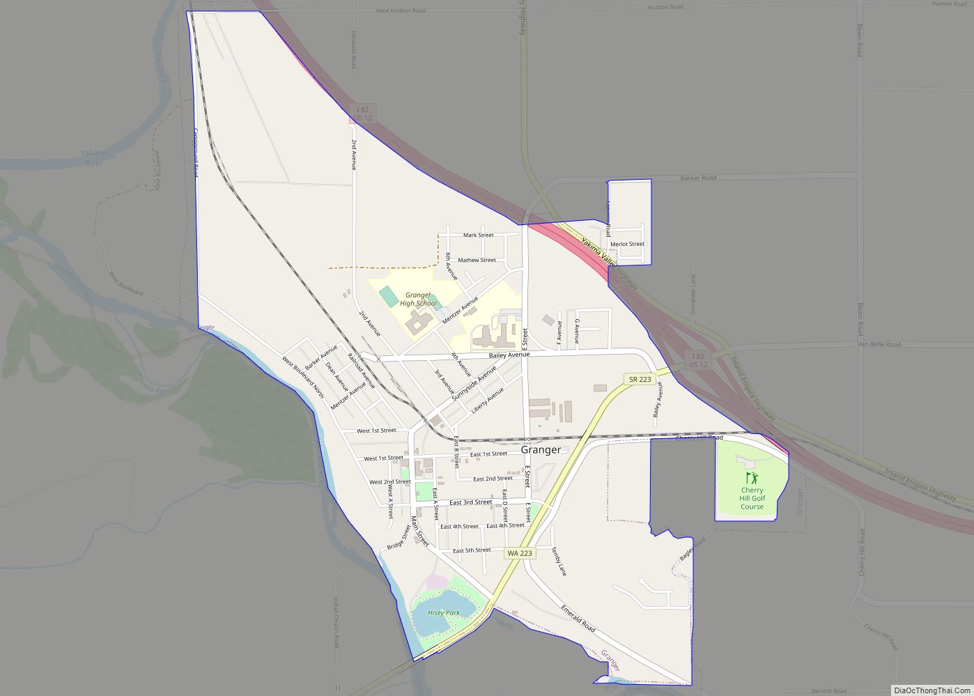
Online Interactive Map
Click on ![]() to view map in "full screen" mode.
to view map in "full screen" mode.
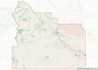
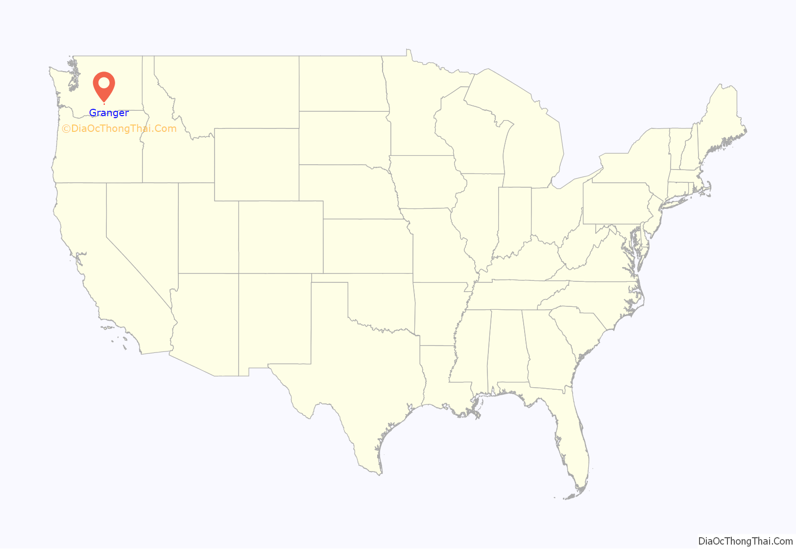
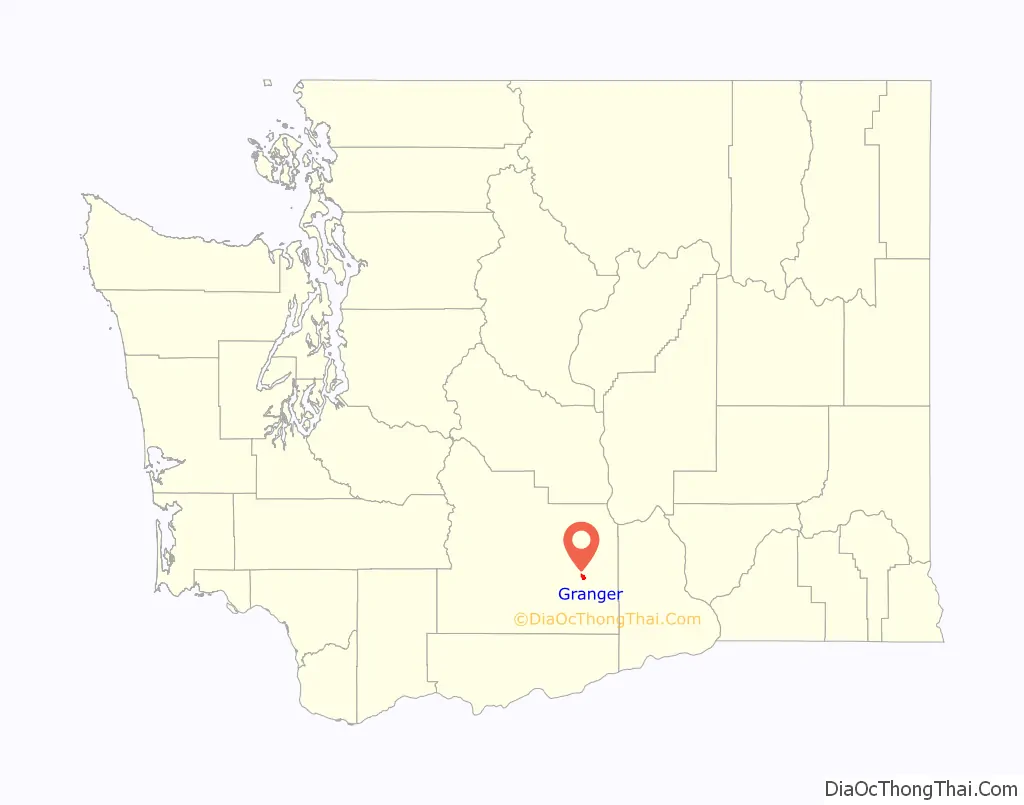
Granger location map. Where is Granger city?
History
Granger was founded in 1902 and named after Walter Granger, superintendent of the Washington Irrigation Company who also laid out the cities of Zillah and Sunnyside. Granger was officially incorporated on September 28, 1909. In the 1910s and 20’s, the town had several large industries including a tile and brick company and a cider mill.
The Granger Farm Workers Camp, which opened in May, 1941 two miles north of the city, became known as the Crewport, Washington Farm Labor Camp. It was built by the Farm Security Administration to house Dust Bowl refugees, initially White, and later Mexican Americans, who were brought in to work in the Yakima Valley as a result of World War II labor shortages. The camp closed in the late 1960s.
The Latin radio station “Radio Cadena” or “Radio KDNA” building is in the town of Granger, and was first built in 1979. It was an activist radio station that educated farm workers, advocated farm workers’ organizations, and provided Spanish language programs to non-English speaking families. In 2008, a new station building was built.
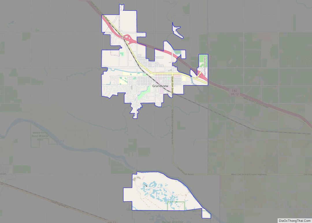
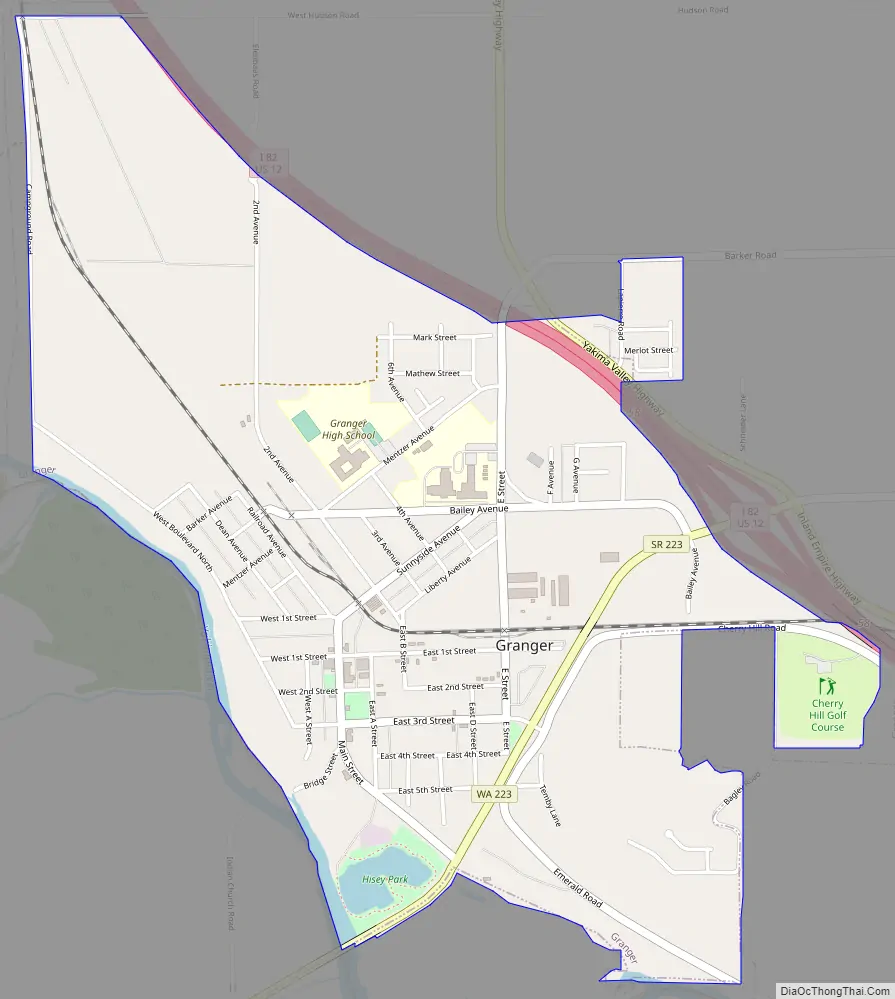
Granger Road Map
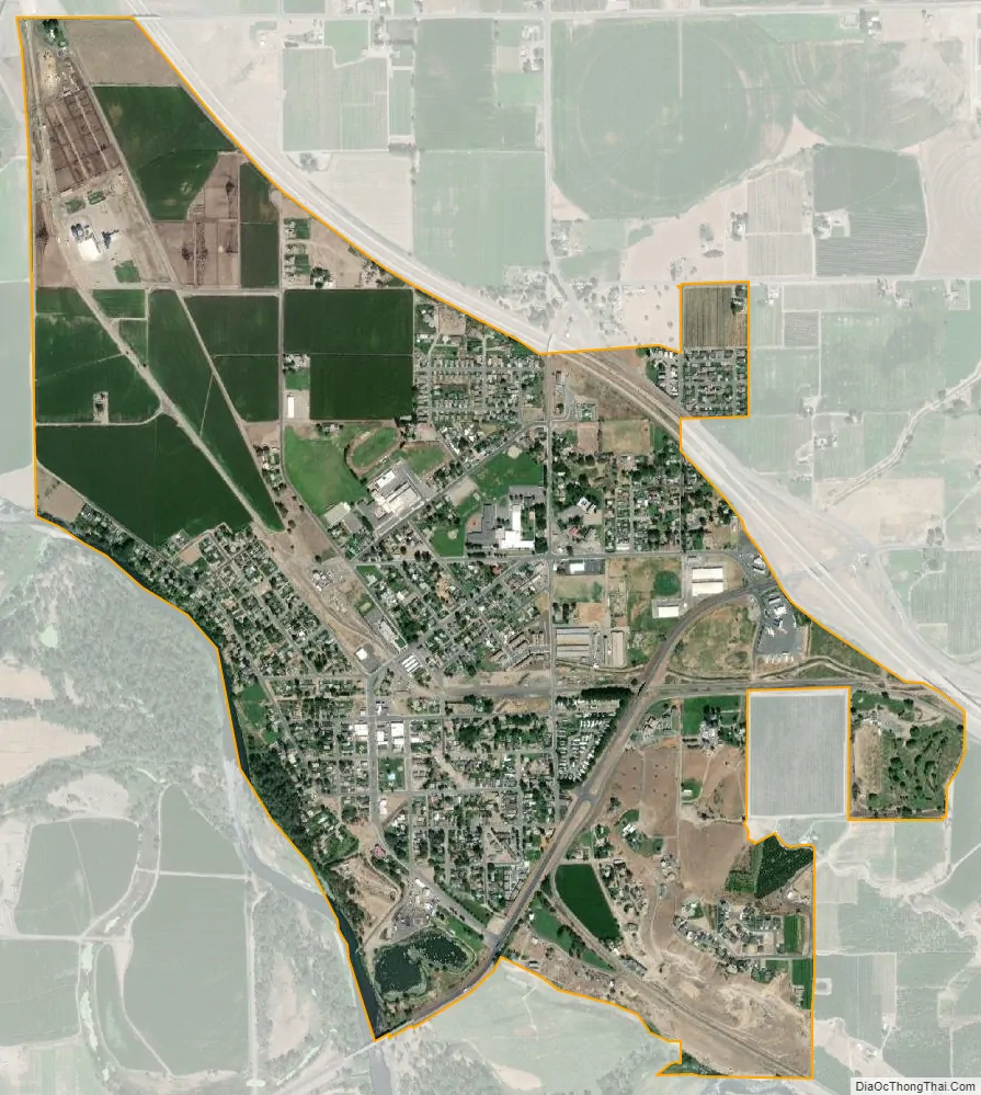
Granger city Satellite Map
Geography
Granger is located at 46°20′40″N 120°11′29″W / 46.34444°N 120.19139°W / 46.34444; -120.19139 (46.344319, -120.191290).
According to the United States Census Bureau, the city has a total area of 1.80 square miles (4.66 km), of which, 1.79 square miles (4.64 km) is land and 0.01 square miles (0.03 km) is water.
See also
Map of Washington State and its subdivision:- Adams
- Asotin
- Benton
- Chelan
- Clallam
- Clark
- Columbia
- Cowlitz
- Douglas
- Ferry
- Franklin
- Garfield
- Grant
- Grays Harbor
- Island
- Jefferson
- King
- Kitsap
- Kittitas
- Klickitat
- Lewis
- Lincoln
- Mason
- Okanogan
- Pacific
- Pend Oreille
- Pierce
- San Juan
- Skagit
- Skamania
- Snohomish
- Spokane
- Stevens
- Thurston
- Wahkiakum
- Walla Walla
- Whatcom
- Whitman
- Yakima
- Alabama
- Alaska
- Arizona
- Arkansas
- California
- Colorado
- Connecticut
- Delaware
- District of Columbia
- Florida
- Georgia
- Hawaii
- Idaho
- Illinois
- Indiana
- Iowa
- Kansas
- Kentucky
- Louisiana
- Maine
- Maryland
- Massachusetts
- Michigan
- Minnesota
- Mississippi
- Missouri
- Montana
- Nebraska
- Nevada
- New Hampshire
- New Jersey
- New Mexico
- New York
- North Carolina
- North Dakota
- Ohio
- Oklahoma
- Oregon
- Pennsylvania
- Rhode Island
- South Carolina
- South Dakota
- Tennessee
- Texas
- Utah
- Vermont
- Virginia
- Washington
- West Virginia
- Wisconsin
- Wyoming