Sunnyside is a city in Yakima County, Washington, United States. The population was 16,375 at the 2020 census.
| Name: | Sunnyside city |
|---|---|
| LSAD Code: | 25 |
| LSAD Description: | city (suffix) |
| State: | Washington |
| County: | Yakima County |
| Incorporated: | September 16, 1902 |
| Elevation: | 745 ft (227 m) |
| Total Area: | 7.53 sq mi (19.49 km²) |
| Land Area: | 7.53 sq mi (19.49 km²) |
| Water Area: | 0.00 sq mi (0.00 km²) |
| Total Population: | 16,375 |
| Population Density: | 2,232.03/sq mi (861.84/km²) |
| ZIP code: | 98944 |
| Area code: | 509 |
| FIPS code: | 5368750 |
| GNISfeature ID: | 1531913 |
| Website: | sunnyside-wa.gov |
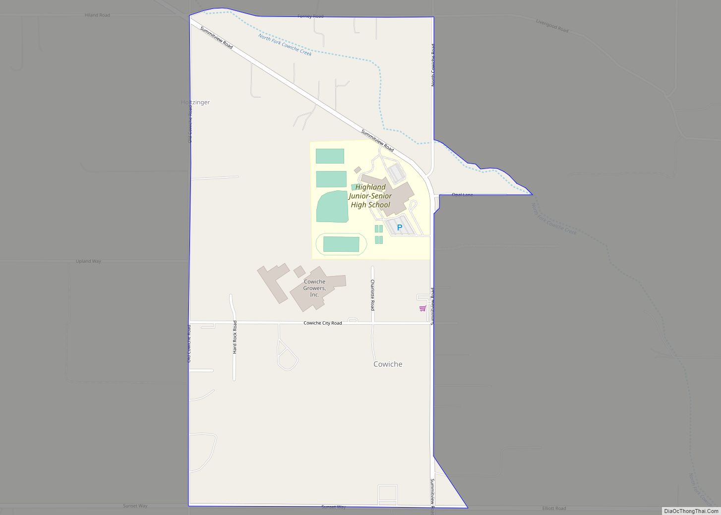
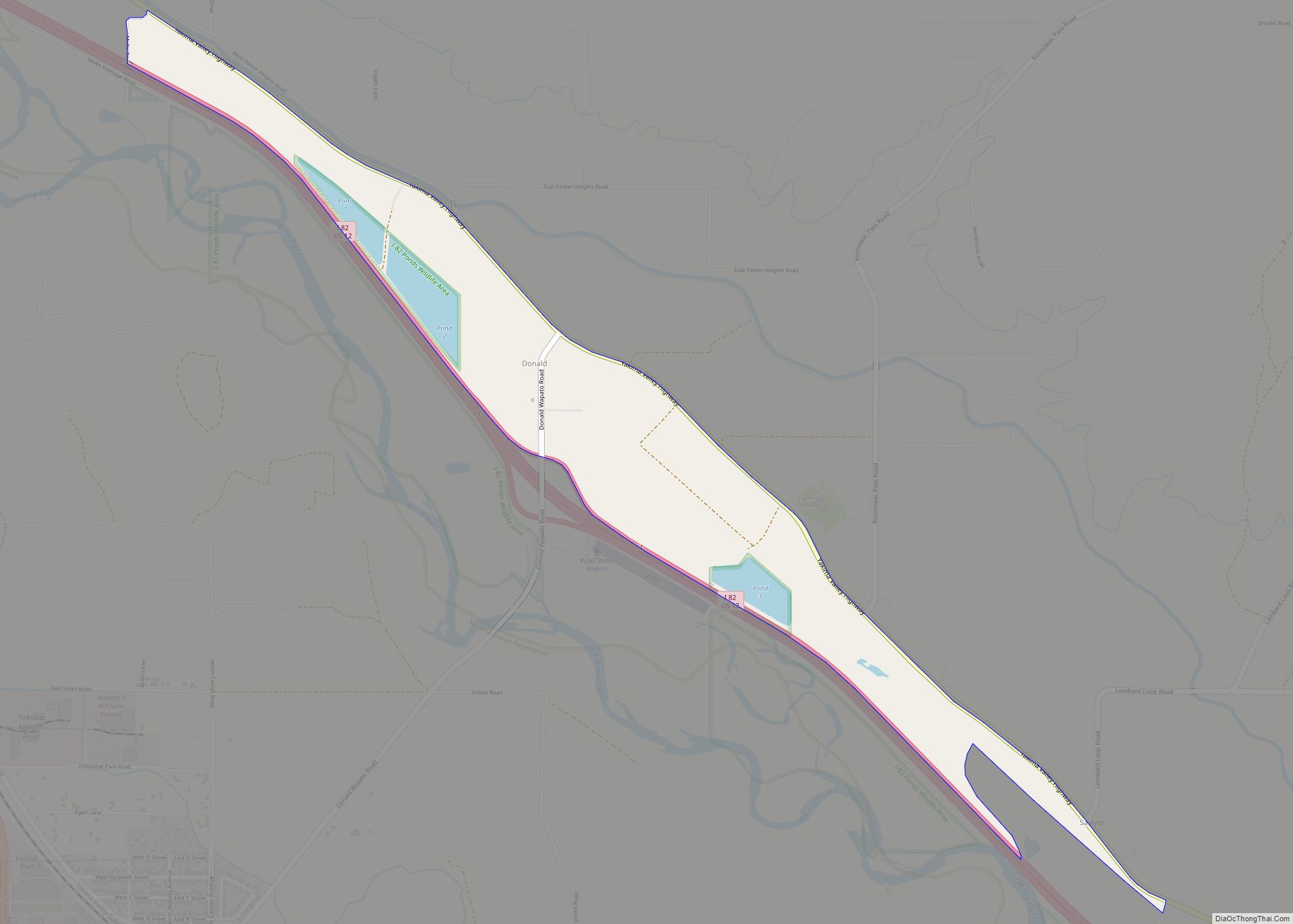
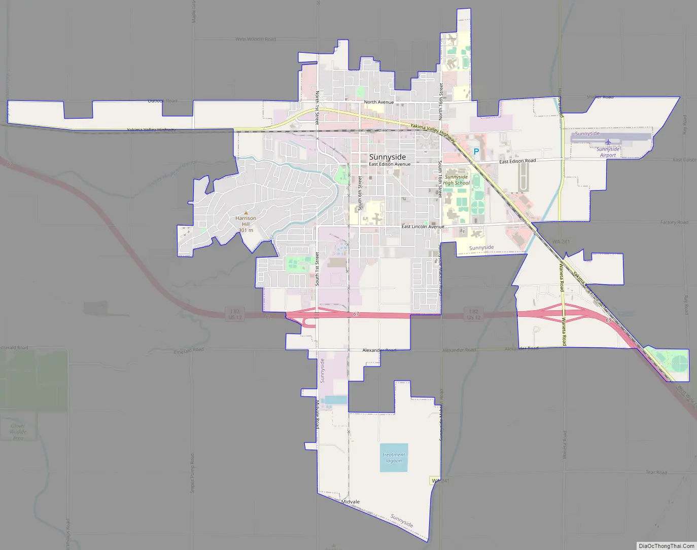
Online Interactive Map
Click on ![]() to view map in "full screen" mode.
to view map in "full screen" mode.
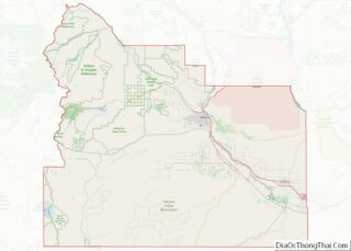
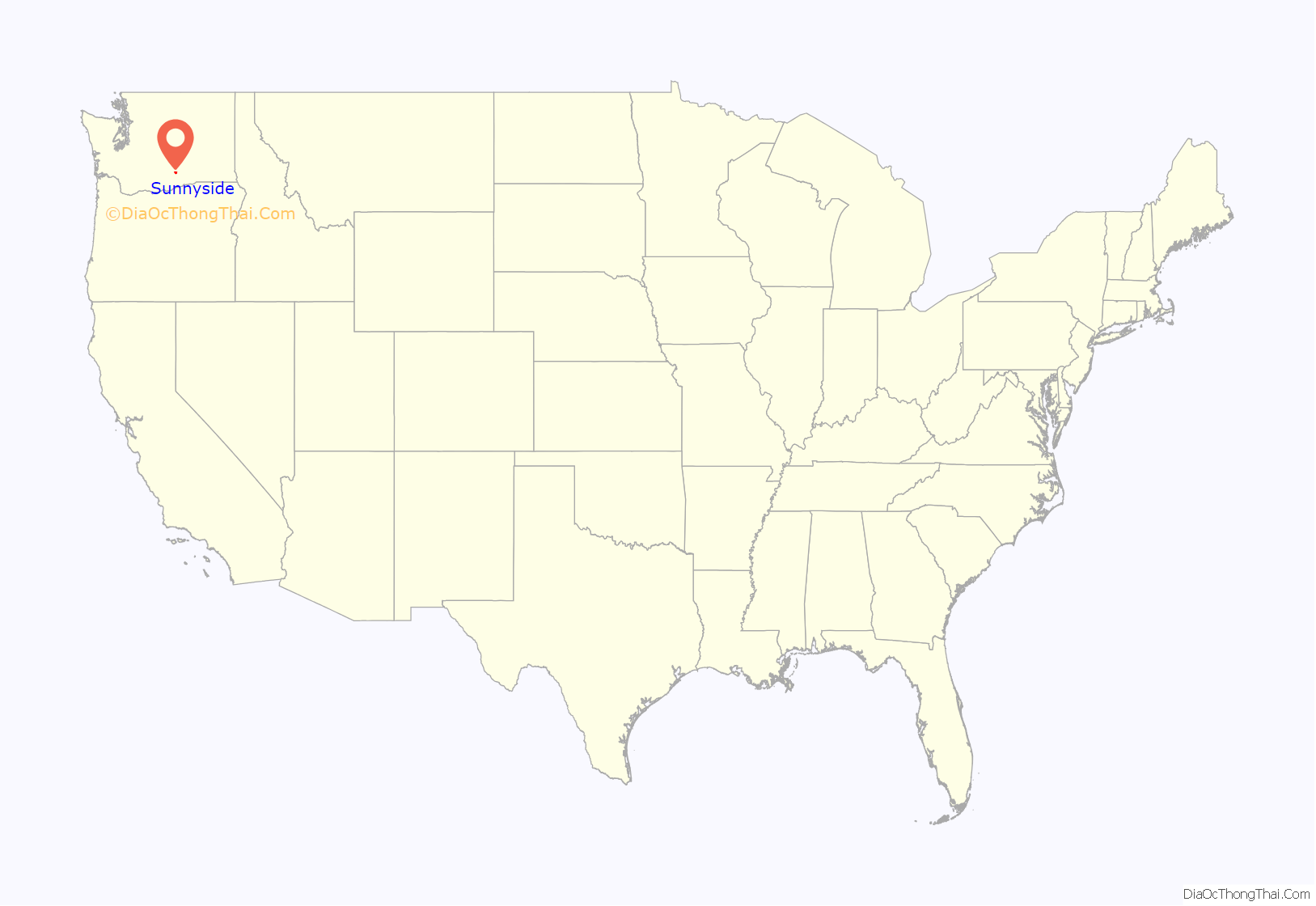
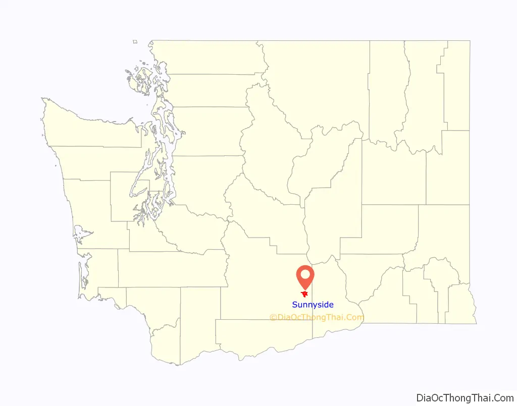
Sunnyside location map. Where is Sunnyside city?
History
Up through the early portion of the 19th century, the portion of the Yakima Valley where Sunnyside is now located was inhabited by the “Taptat-ħlama” (or ″People at the rapids”). These people hunted and fished along Yakima River from the mouth of Satus Creek (contained in present-day Satus immediately southwest of Sunnyside) to present Kiona, with a key fishery at near present-day Prosser.
Several tribes in the region were relocated onto the Yakama Indian Reservation following the 1855 signing of a treaty with the federal government. However, the Yakima War lingered until 1858, with Chief Kamiakin fighting on until the Battle of Four Lakes in 1858.
The modern settlement of Sunnyside was founded by Walter Granger in 1893. The name was coined by a merchant named W. H. Cline. Granger was involved in the financing and construction of the Sunnyside Canal which would have allowed Yakima River water to irrigate the area. However, due to the Panic of 1893, Granger’s creditors foreclosed on the canal, and the town’s population dwindled to seven families. By the end of 1901, the population had doubled, finally exceeding 300 people. The site contained “1 bank, 11 stores, 3 hotels, 1 newspaper [the Sunnyside Sun, still publishing in 2020], 2 blacksmith shops, 2 livery barns, 3 churches, and a large and growing school”.
On September 16, 1902, residents voted 42–1 to incorporate as the town of Sunnyside. At the time, the town had 314 residents, just over the state minimum for an incorporation referendum. The first mayor of Sunnyside was the town druggist James Henderson.
Sunnyside’s population increase at this time was stimulated by the immigration of the Dunkards from South Dakota who were moving to the town. The population of Dunkards was of such notable size that, by 1902, it was noted that they had “built a commodious place of worship at Sunnyside” which was the largest church in Yakima County at the time.
The Dunkards, members of the German Baptist Progressive Brethren, relocated to Sunnyside in order to form what they called the Christian Cooperative Colony. They bought the entire town site and were the developers of its first bank, and a telephone system. They enforced clauses prohibiting alcohol, dancing and gambling as a condition on every parcel of land sold. Because of this, old maps of Washington identify the town with a cross or halo symbol.
In the 1930s, refugees from the Dust Bowl also moved to Sunnyside.
Under the leadership of mayor William Bright “Billy” Cloud (1870–1959), Sunnyside initiated a project to pave its dirt streets on June 5, 1917. This project was necessary since years of irrigation had raised the water table to the point that the streets had become unbearably muddy. The cost of the entire project was $62,629.45.
In 1948, Sunnyside became the first city in the state to adopt a council–manager system of government. The system provides for an elected city council which is responsible for policy making, and a professional city manager, appointed by the council, who is responsible for administration. The city manager provides policy advice, directs the daily operations of city government, handles personnel functions (including the power to appoint and remove employees) and is responsible for preparing the city budget. Under the council-manager statutes, the city council is prohibited from interfering with the manager’s administration. The city manager, however, is directly accountable to and can be removed by a majority vote of the council at any time.
Sunnyside was named an All-America City in 1979.
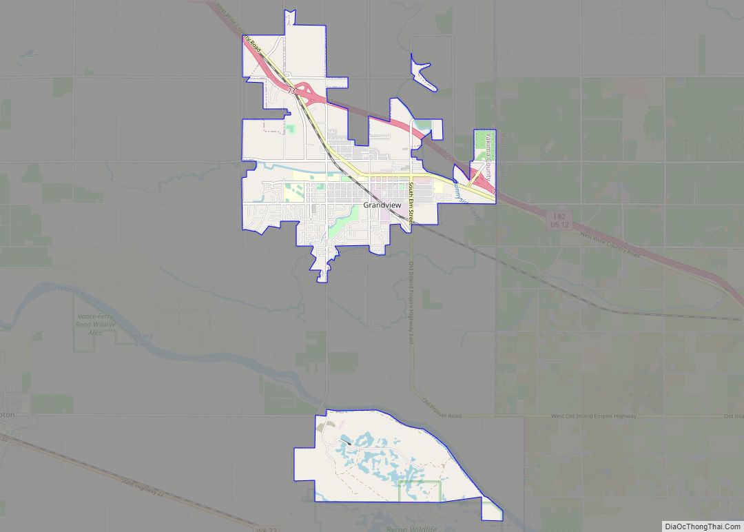
Sunnyside Road Map
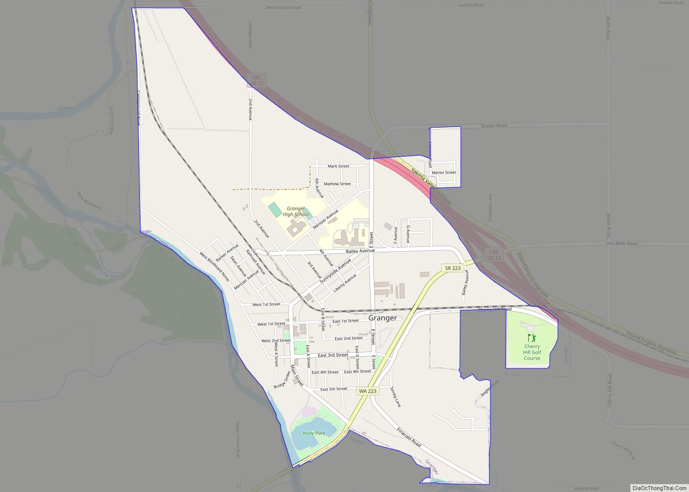
Sunnyside city Satellite Map

Geography
Sunnyside is located at 46°19′15″N 120°0′44″W / 46.32083°N 120.01222°W / 46.32083; -120.01222 (46.320798, −120.012232).
According to the United States Census Bureau, the city has a total area of 6.63 square miles (17.17 km), all of it land.
Sunnyside lies approximately 180 miles away from Seattle to the west, Spokane to the east and Portland to the southwest.
Climate
Sunnyside has a cold desert climate (BWk) according to the Köppen climate classification system.
See also
Map of Washington State and its subdivision:- Adams
- Asotin
- Benton
- Chelan
- Clallam
- Clark
- Columbia
- Cowlitz
- Douglas
- Ferry
- Franklin
- Garfield
- Grant
- Grays Harbor
- Island
- Jefferson
- King
- Kitsap
- Kittitas
- Klickitat
- Lewis
- Lincoln
- Mason
- Okanogan
- Pacific
- Pend Oreille
- Pierce
- San Juan
- Skagit
- Skamania
- Snohomish
- Spokane
- Stevens
- Thurston
- Wahkiakum
- Walla Walla
- Whatcom
- Whitman
- Yakima
- Alabama
- Alaska
- Arizona
- Arkansas
- California
- Colorado
- Connecticut
- Delaware
- District of Columbia
- Florida
- Georgia
- Hawaii
- Idaho
- Illinois
- Indiana
- Iowa
- Kansas
- Kentucky
- Louisiana
- Maine
- Maryland
- Massachusetts
- Michigan
- Minnesota
- Mississippi
- Missouri
- Montana
- Nebraska
- Nevada
- New Hampshire
- New Jersey
- New Mexico
- New York
- North Carolina
- North Dakota
- Ohio
- Oklahoma
- Oregon
- Pennsylvania
- Rhode Island
- South Carolina
- South Dakota
- Tennessee
- Texas
- Utah
- Vermont
- Virginia
- Washington
- West Virginia
- Wisconsin
- Wyoming