Grayland is a census-designated place (CDP) in Grays Harbor County, Washington, United States. The population was 953 at the 2010 census.
| Name: | Grayland CDP |
|---|---|
| LSAD Code: | 57 |
| LSAD Description: | CDP (suffix) |
| State: | Washington |
| County: | Grays Harbor County |
| Elevation: | 26 ft (8 m) |
| Total Area: | 6.89 sq mi (17.83 km²) |
| Land Area: | 6.84 sq mi (17.71 km²) |
| Water Area: | 0.05 sq mi (0.12 km²) |
| Total Population: | 953 |
| Population Density: | 138.41/sq mi (53.4/km²) |
| ZIP code: | 98547 |
| Area code: | 360 |
| FIPS code: | 5328345 |
| GNISfeature ID: | 1505246 |
Online Interactive Map
Click on ![]() to view map in "full screen" mode.
to view map in "full screen" mode.
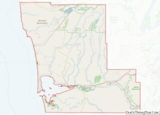
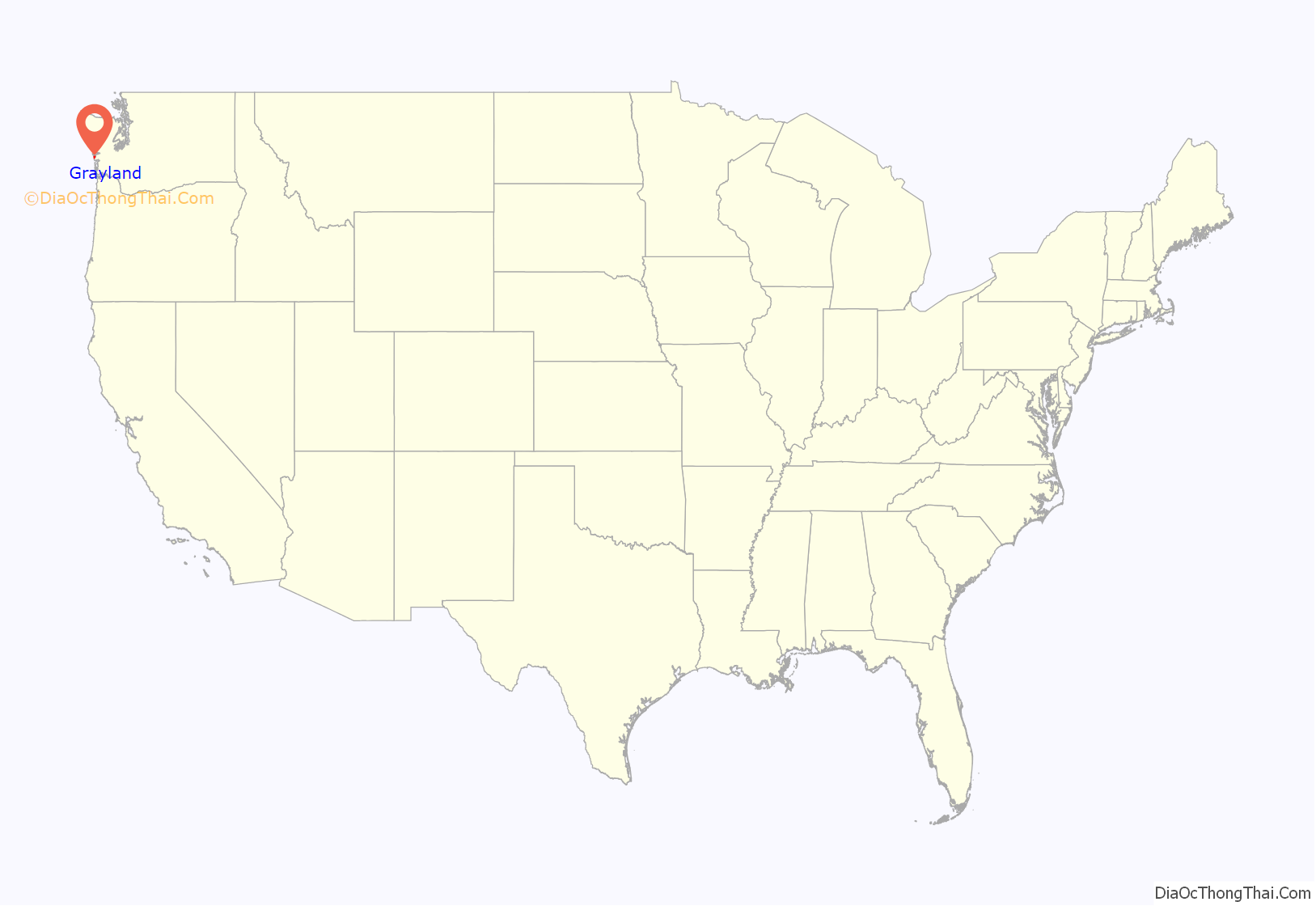
Grayland location map. Where is Grayland CDP?
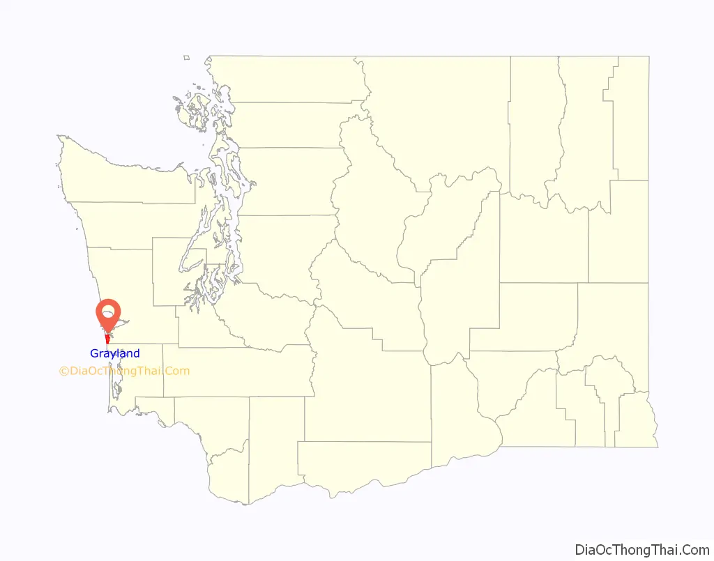
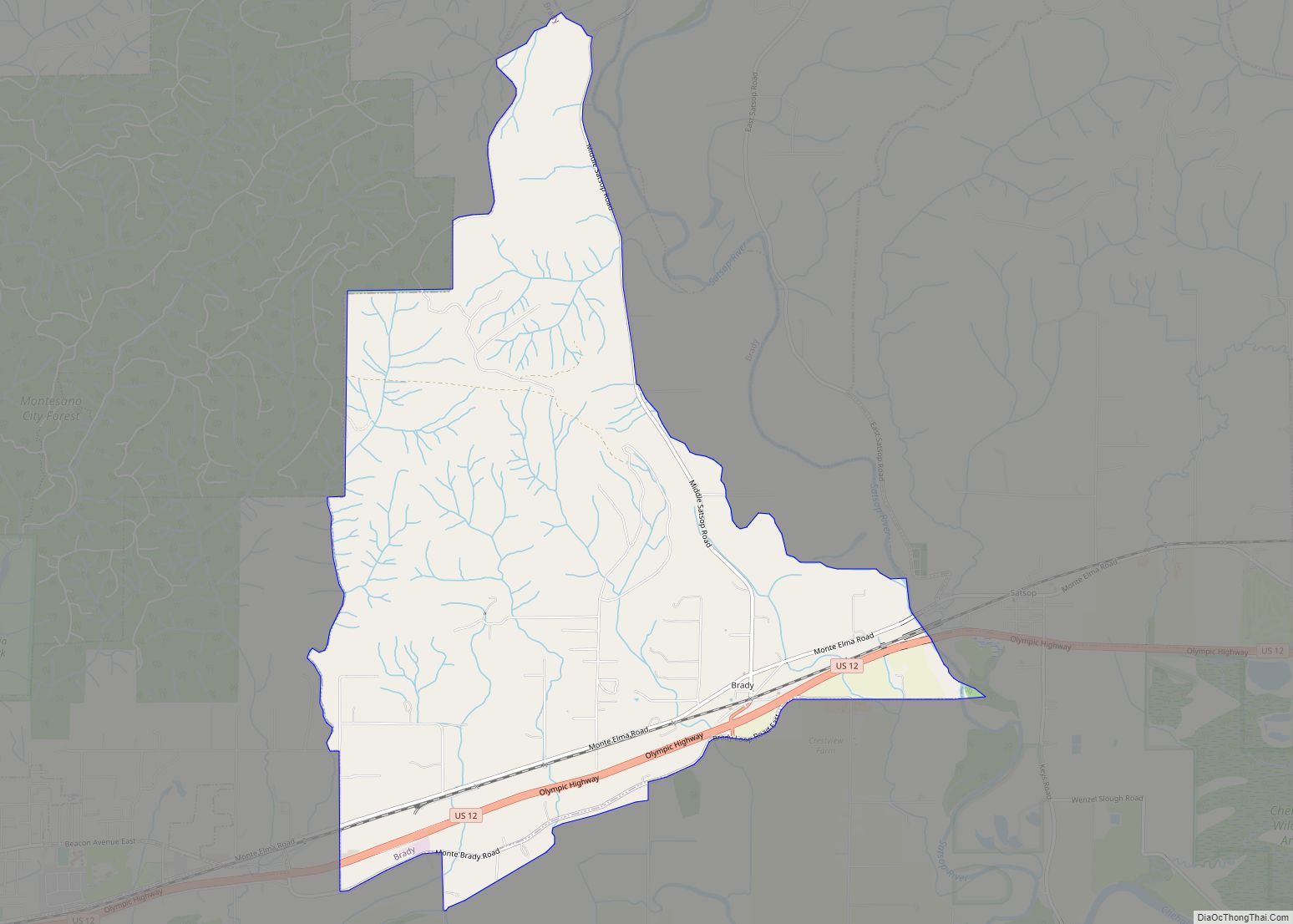
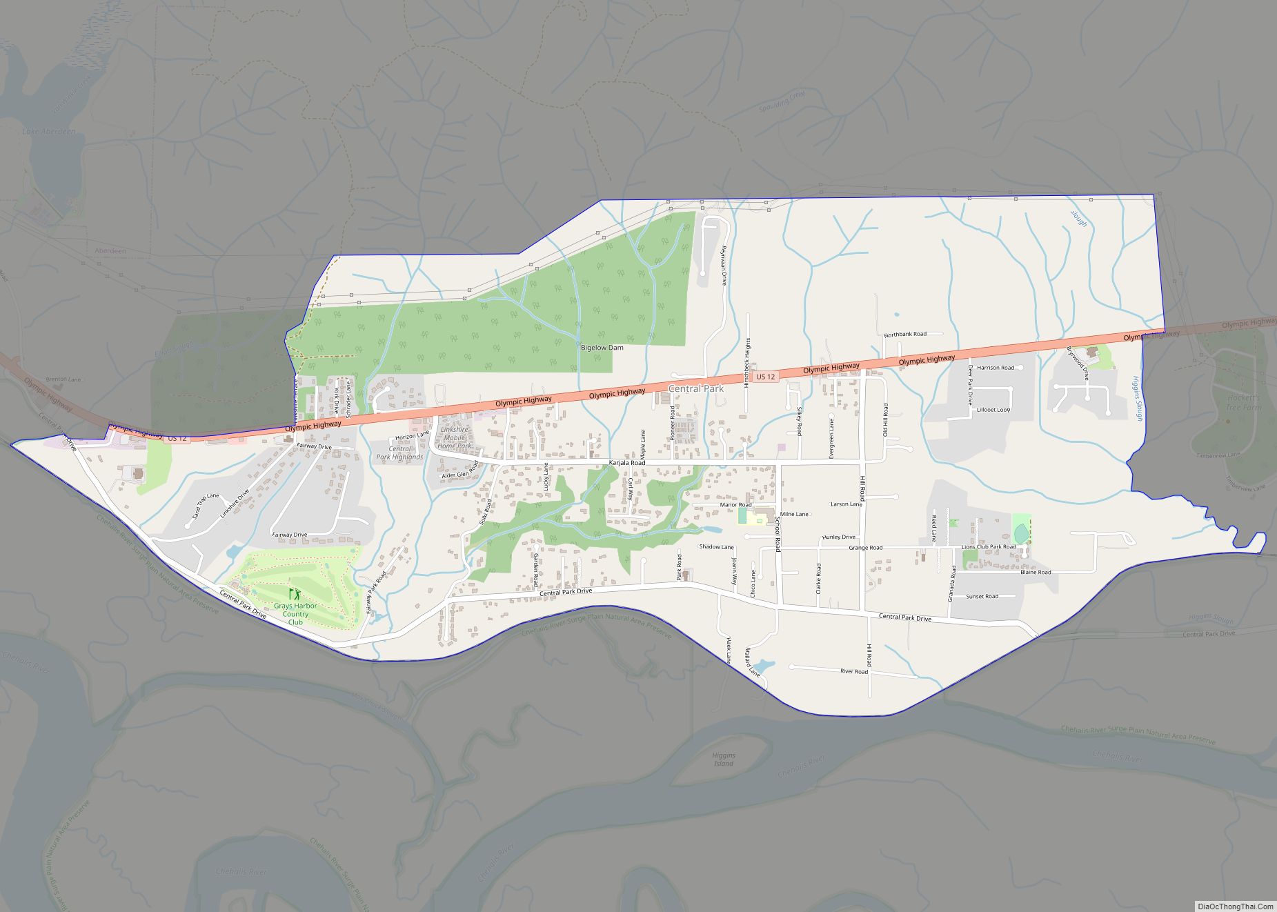
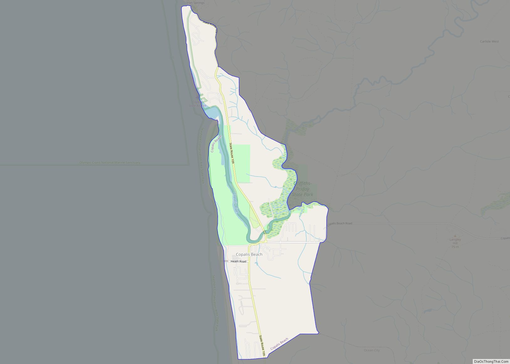
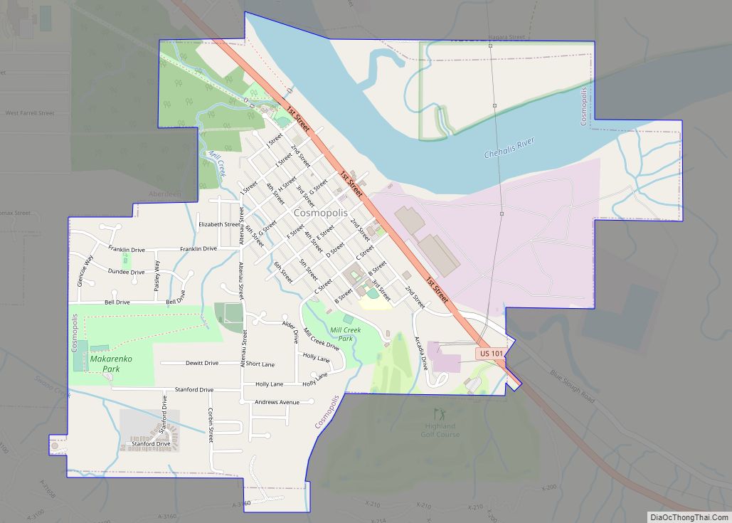
Grayland Road Map
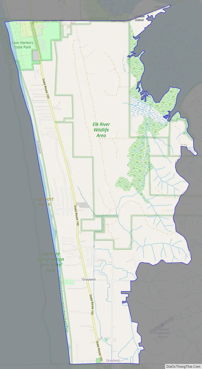
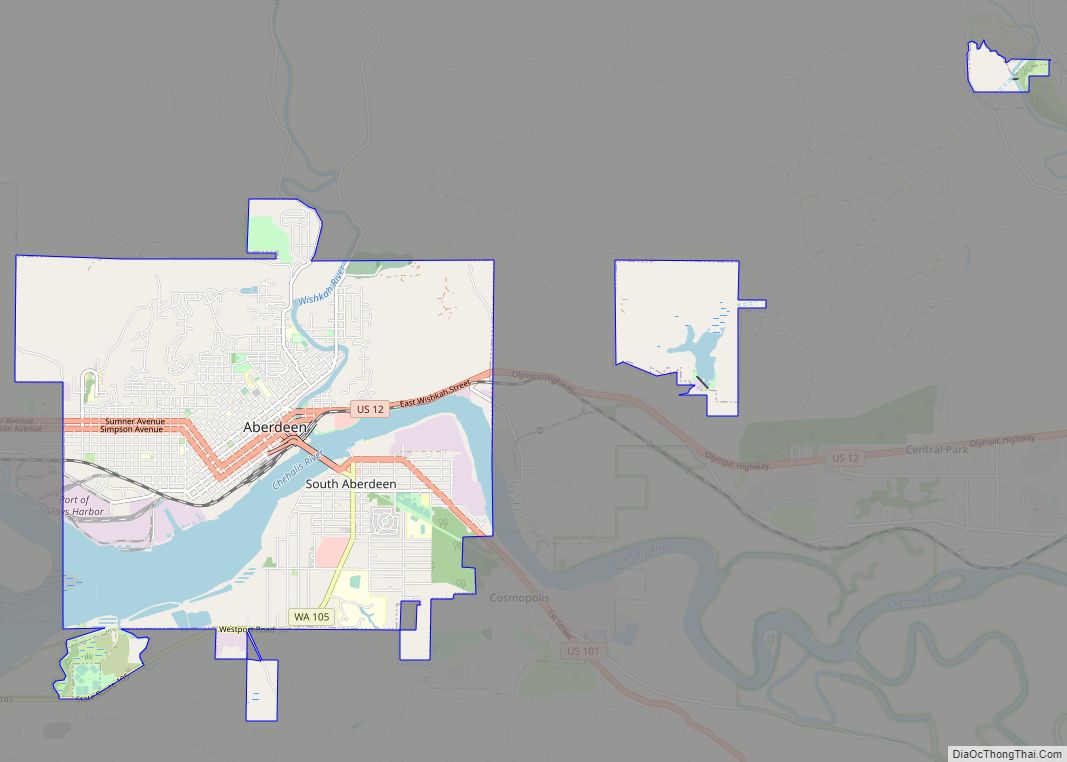
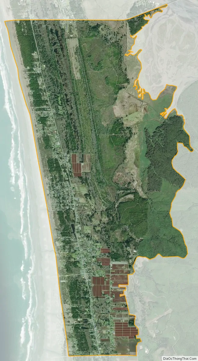
Grayland city Satellite Map
Geography
Grayland is located at 46°48′36″N 124°5′36″W / 46.81000°N 124.09333°W / 46.81000; -124.09333 in the southwestern corner of Grays Harbor County. To the west is the Pacific Ocean, to the north is the city of Westport and the entrance to Grays Harbor. To the south is Pacific County.
According to the 2010 U.S. census, the CDP has a total area of 6.9 square miles (17.8 km) that is almost entirely land.
Climate
Most of the city can be classified with an oceanic climate (Cfb in the Köppen classification), similar to those found in the French west coast (Pays de la Loire) in near latitudes. At the same time as the city is the southern boundary of the Cfb on the coast of North America, beaches farther south as Heather can be classified as Csb, changing more in terms of precipitation.
See also
Map of Washington State and its subdivision:- Adams
- Asotin
- Benton
- Chelan
- Clallam
- Clark
- Columbia
- Cowlitz
- Douglas
- Ferry
- Franklin
- Garfield
- Grant
- Grays Harbor
- Island
- Jefferson
- King
- Kitsap
- Kittitas
- Klickitat
- Lewis
- Lincoln
- Mason
- Okanogan
- Pacific
- Pend Oreille
- Pierce
- San Juan
- Skagit
- Skamania
- Snohomish
- Spokane
- Stevens
- Thurston
- Wahkiakum
- Walla Walla
- Whatcom
- Whitman
- Yakima
- Alabama
- Alaska
- Arizona
- Arkansas
- California
- Colorado
- Connecticut
- Delaware
- District of Columbia
- Florida
- Georgia
- Hawaii
- Idaho
- Illinois
- Indiana
- Iowa
- Kansas
- Kentucky
- Louisiana
- Maine
- Maryland
- Massachusetts
- Michigan
- Minnesota
- Mississippi
- Missouri
- Montana
- Nebraska
- Nevada
- New Hampshire
- New Jersey
- New Mexico
- New York
- North Carolina
- North Dakota
- Ohio
- Oklahoma
- Oregon
- Pennsylvania
- Rhode Island
- South Carolina
- South Dakota
- Tennessee
- Texas
- Utah
- Vermont
- Virginia
- Washington
- West Virginia
- Wisconsin
- Wyoming